Yaak is an unincorporated community and census-designated place in Lincoln County, Montana, United States. It is located along the Yaak River, within the Kootenai National Forest. As of the 2020 census, its population was 338.
Yaak has frequently been noted on lists of unusual place names.
Yaak derives its name from the Yaak River. According to local lore, A’ak is a Kootenai name meaning “Arrow.” The Kootenai River forms the shape of a drawn bow; its tributary the Yaak River is its arrow. Homesteaders arrived shortly after the passage of the Forest Homestead Act of 1906.
| Name: | Yaak CDP |
|---|---|
| LSAD Code: | 57 |
| LSAD Description: | CDP (suffix) |
| State: | Montana |
| County: | Lincoln County |
| Elevation: | 2,986 ft (910 m) |
| Total Area: | 28.12 sq mi (72.83 km²) |
| Land Area: | 27.85 sq mi (72.12 km²) |
| Water Area: | 0.28 sq mi (0.71 km²) |
| Total Population: | 338 |
| Population Density: | 12.14/sq mi (4.69/km²) |
| Area code: | 406 |
| FIPS code: | 3082130 |
| GNISfeature ID: | 778715 |
Online Interactive Map
Click on ![]() to view map in "full screen" mode.
to view map in "full screen" mode.
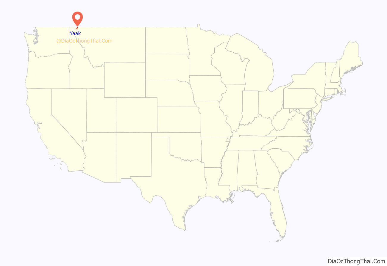
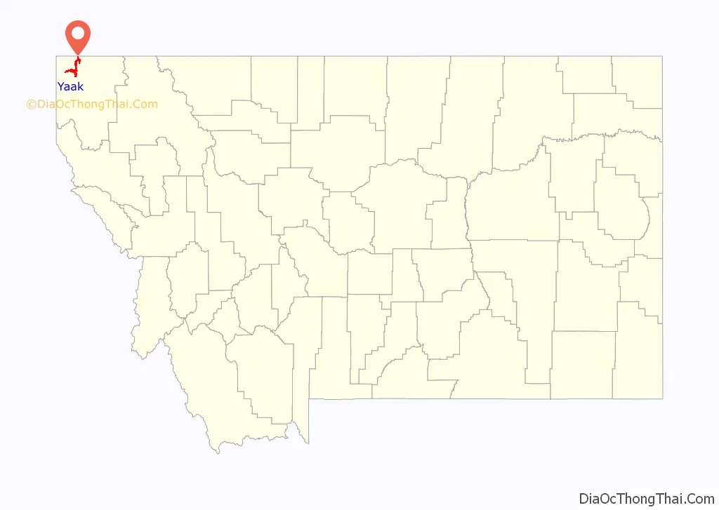
Yaak location map. Where is Yaak CDP?
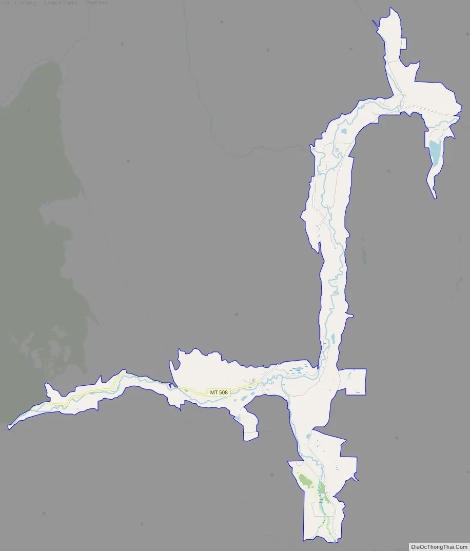
Yaak Road Map
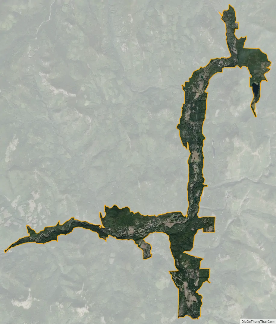
Yaak city Satellite Map
See also
Map of Montana State and its subdivision:- Beaverhead
- Big Horn
- Blaine
- Broadwater
- Carbon
- Carter
- Cascade
- Chouteau
- Custer
- Daniels
- Dawson
- Deer Lodge
- Fallon
- Fergus
- Flathead
- Gallatin
- Garfield
- Glacier
- Golden Valley
- Granite
- Hill
- Jefferson
- Judith Basin
- Lake
- Lewis and Clark
- Liberty
- Lincoln
- Madison
- McCone
- Meagher
- Mineral
- Missoula
- Musselshell
- Park
- Petroleum
- Phillips
- Pondera
- Powder River
- Powell
- Prairie
- Ravalli
- Richland
- Roosevelt
- Rosebud
- Sanders
- Sheridan
- Silver Bow
- Stillwater
- Sweet Grass
- Teton
- Toole
- Treasure
- Valley
- Wheatland
- Wibaux
- Yellowstone
- Alabama
- Alaska
- Arizona
- Arkansas
- California
- Colorado
- Connecticut
- Delaware
- District of Columbia
- Florida
- Georgia
- Hawaii
- Idaho
- Illinois
- Indiana
- Iowa
- Kansas
- Kentucky
- Louisiana
- Maine
- Maryland
- Massachusetts
- Michigan
- Minnesota
- Mississippi
- Missouri
- Montana
- Nebraska
- Nevada
- New Hampshire
- New Jersey
- New Mexico
- New York
- North Carolina
- North Dakota
- Ohio
- Oklahoma
- Oregon
- Pennsylvania
- Rhode Island
- South Carolina
- South Dakota
- Tennessee
- Texas
- Utah
- Vermont
- Virginia
- Washington
- West Virginia
- Wisconsin
- Wyoming


