Irmo (/ˈərmoʊ/) is a town in Lexington and Richland counties, South Carolina, United States and a suburb of Columbia. It is part of the Columbia Metropolitan Statistical Area and is located 12 miles (19 km) northwest of the city center. The population of Irmo was 11,097 at the 2010 census.
| Name: | Irmo town |
|---|---|
| LSAD Code: | 43 |
| LSAD Description: | town (suffix) |
| State: | South Carolina |
| County: | Lexington County, Richland County |
| Elevation: | 358 ft (109 m) |
| Total Area: | 6.97 sq mi (18.05 km²) |
| Land Area: | 6.97 sq mi (18.05 km²) |
| Water Area: | 0.00 sq mi (0.00 km²) |
| Total Population: | 11,569 |
| Population Density: | 1,660.54/sq mi (641.10/km²) |
| ZIP code: | 29063 |
| Area code: | 803, 839 |
| FIPS code: | 4535890 |
| GNISfeature ID: | 1231420 |
| Website: | www.townofirmosc.com |
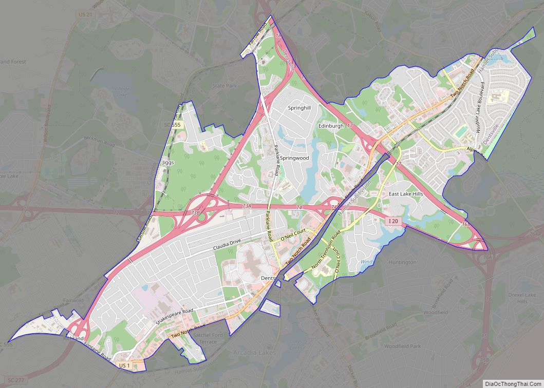
Online Interactive Map
Click on ![]() to view map in "full screen" mode.
to view map in "full screen" mode.
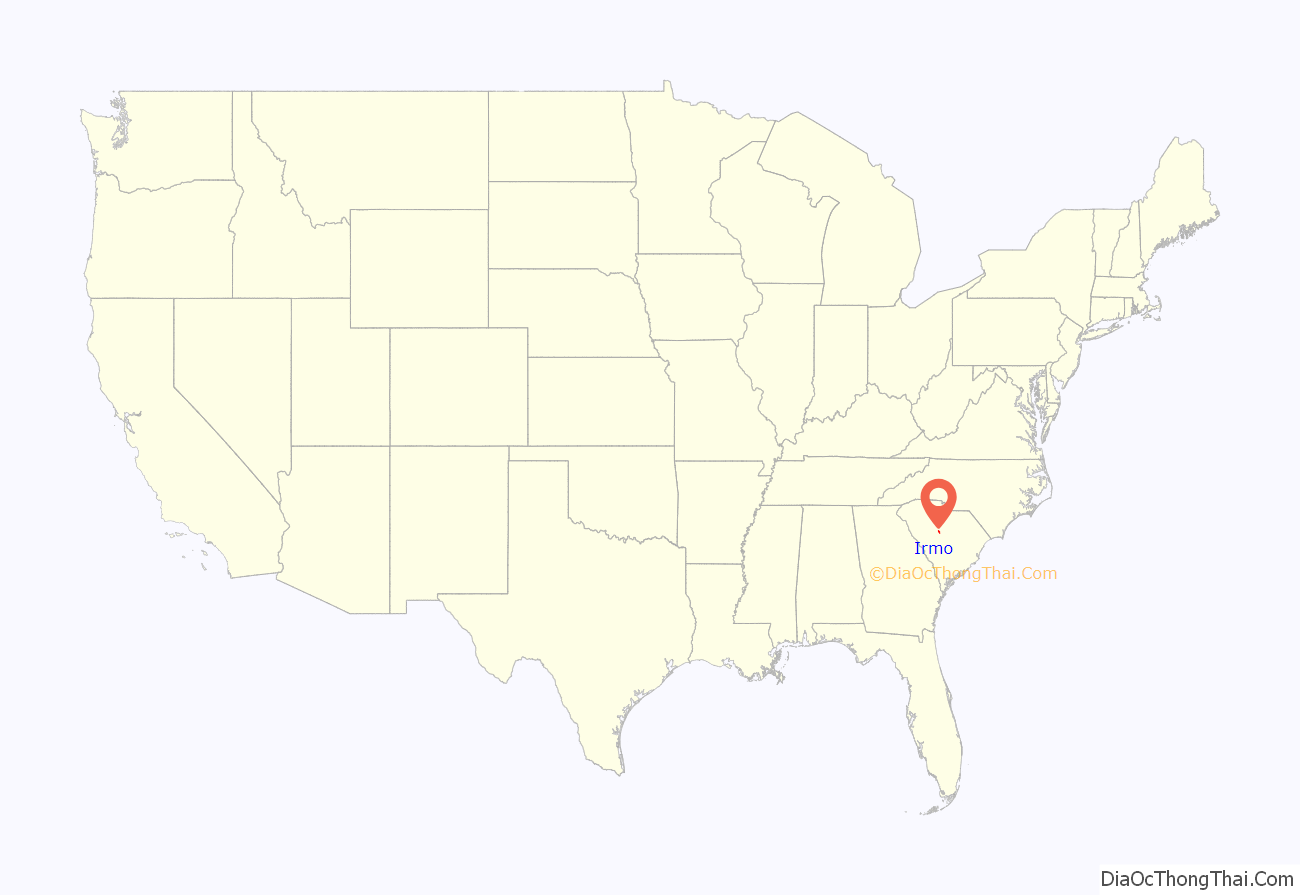
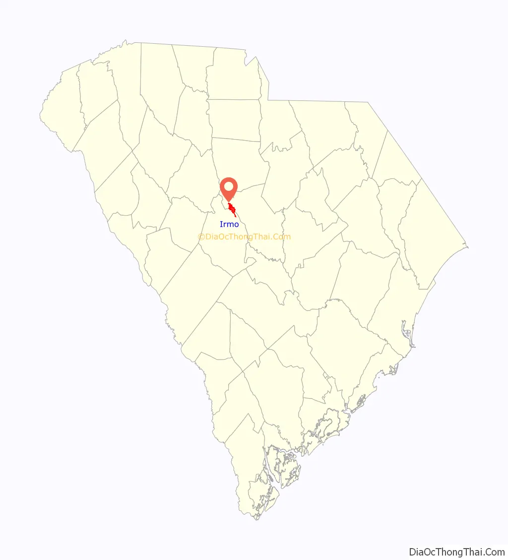
Irmo location map. Where is Irmo town?
History
Irmo was chartered on Christmas Eve in 1890 in response to the opening of the Columbia, Newberry and Laurens Railroad. The name of Irmo was the result of combining the names of Captain C.J. Iredell and Henry Moseley, two important figures in the founding of the town. Despite the town’s growth, Irmo does not have an actual downtown area. Rather, it consists of several clusters of suburban neighborhoods and commercial areas.
The Jacob Wingard Dreher House was listed on the U.S. National Register of Historic Places in 1983.
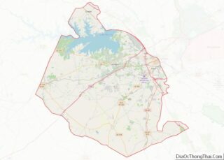
Irmo Road Map
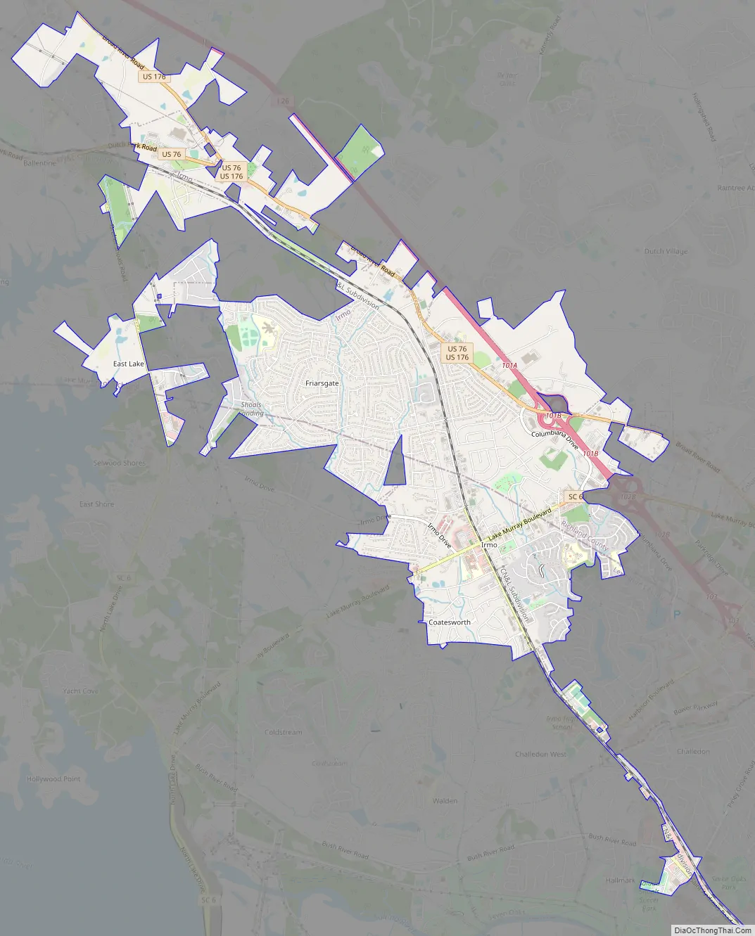
Irmo city Satellite Map

Geography
According to the United States Census Bureau, the town has a total area of 6.3 square miles (16.2 km), all land.
See also
Map of South Carolina State and its subdivision:- Abbeville
- Aiken
- Allendale
- Anderson
- Bamberg
- Barnwell
- Beaufort
- Berkeley
- Calhoun
- Charleston
- Cherokee
- Chester
- Chesterfield
- Clarendon
- Colleton
- Darlington
- Dillon
- Dorchester
- Edgefield
- Fairfield
- Florence
- Georgetown
- Greenville
- Greenwood
- Hampton
- Horry
- Jasper
- Kershaw
- Lancaster
- Laurens
- Lee
- Lexington
- Marion
- Marlboro
- McCormick
- Newberry
- Oconee
- Orangeburg
- Pickens
- Richland
- Saluda
- Spartanburg
- Sumter
- Union
- Williamsburg
- York
- Alabama
- Alaska
- Arizona
- Arkansas
- California
- Colorado
- Connecticut
- Delaware
- District of Columbia
- Florida
- Georgia
- Hawaii
- Idaho
- Illinois
- Indiana
- Iowa
- Kansas
- Kentucky
- Louisiana
- Maine
- Maryland
- Massachusetts
- Michigan
- Minnesota
- Mississippi
- Missouri
- Montana
- Nebraska
- Nevada
- New Hampshire
- New Jersey
- New Mexico
- New York
- North Carolina
- North Dakota
- Ohio
- Oklahoma
- Oregon
- Pennsylvania
- Rhode Island
- South Carolina
- South Dakota
- Tennessee
- Texas
- Utah
- Vermont
- Virginia
- Washington
- West Virginia
- Wisconsin
- Wyoming