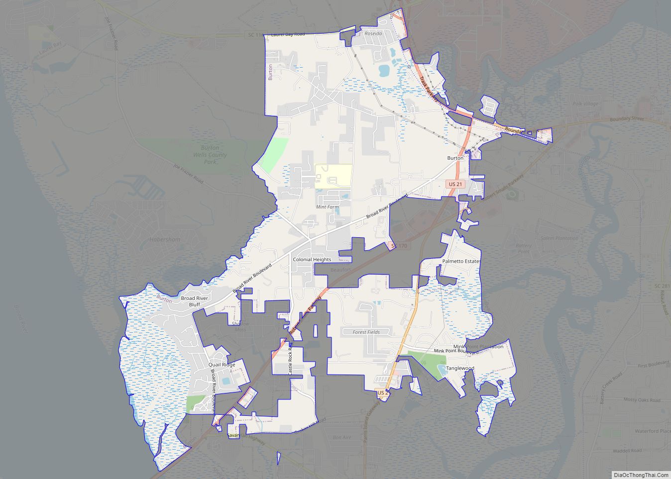
Burton is a census-designated place (CDP) on Port Royal Island in Beaufort County, South Carolina, United States. The population was 6,976 at the 2010 census. As defined by the U.S. Census Bureau, Burton is included within the Hilton Head Island-Bluffton-Beaufort, SC Metropolitan Statistical Area.
| Name: | Burton CDP |
|---|---|
| LSAD Code: | 57 |
| LSAD Description: | CDP (suffix) |
| State: | South Carolina |
| County: | Beaufort County |
| Elevation: | 33 ft (10 m) |
| Total Area: | 8.42 sq mi (21.80 km²) |
| Land Area: | 8.35 sq mi (21.63 km²) |
| Water Area: | 0.06 sq mi (0.16 km²) |
| Total Population: | 6,777 |
| Population Density: | 811.33/sq mi (313.27/km²) |
| ZIP code: | 29902, 29906 |
| Area code: | 843, 854 |
| FIPS code: | 4510360 |
| GNISfeature ID: | 1221150 |
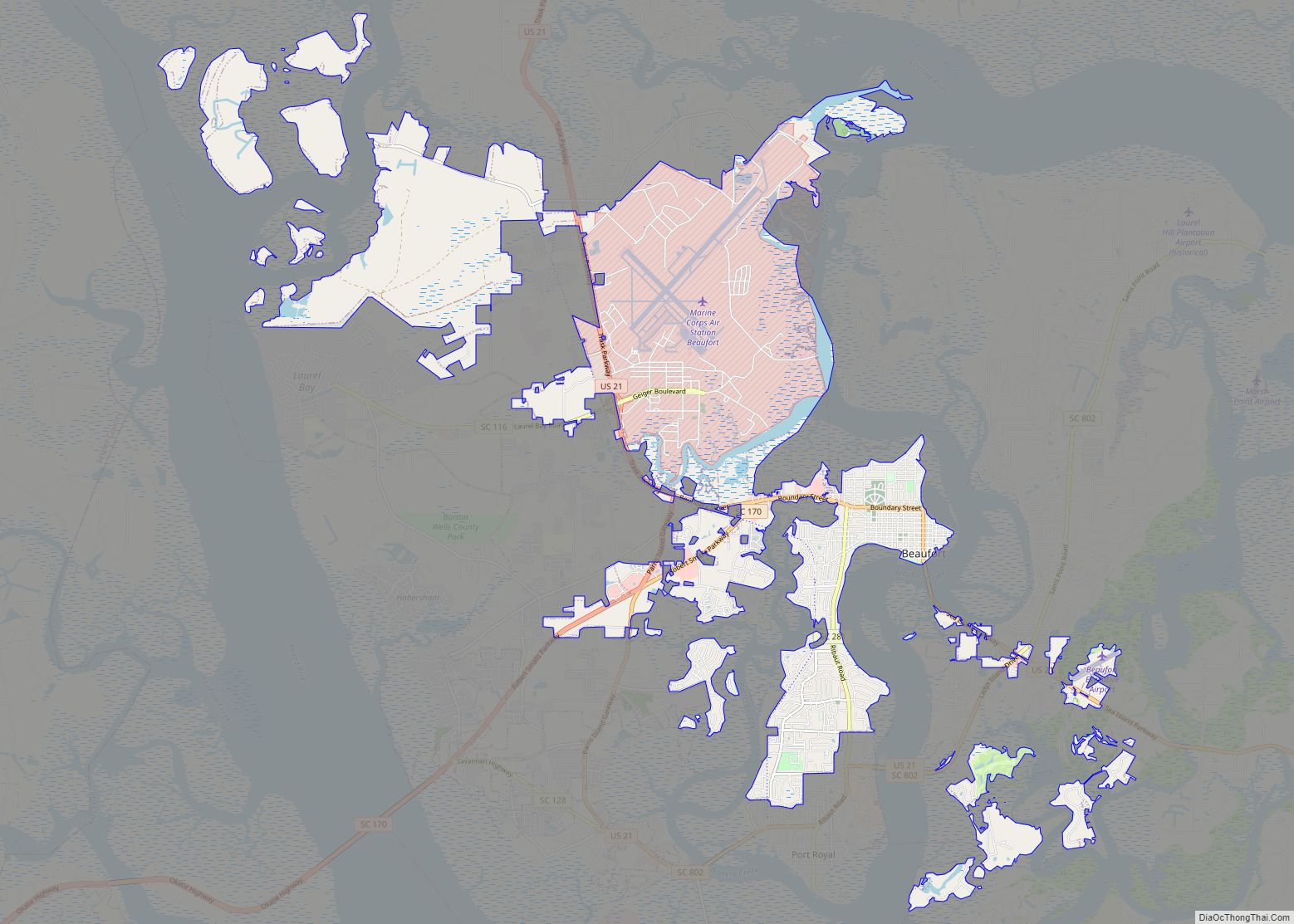
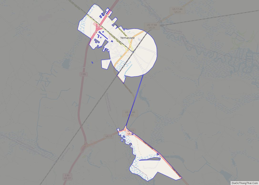
Online Interactive Map
Click on ![]() to view map in "full screen" mode.
to view map in "full screen" mode.
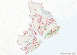
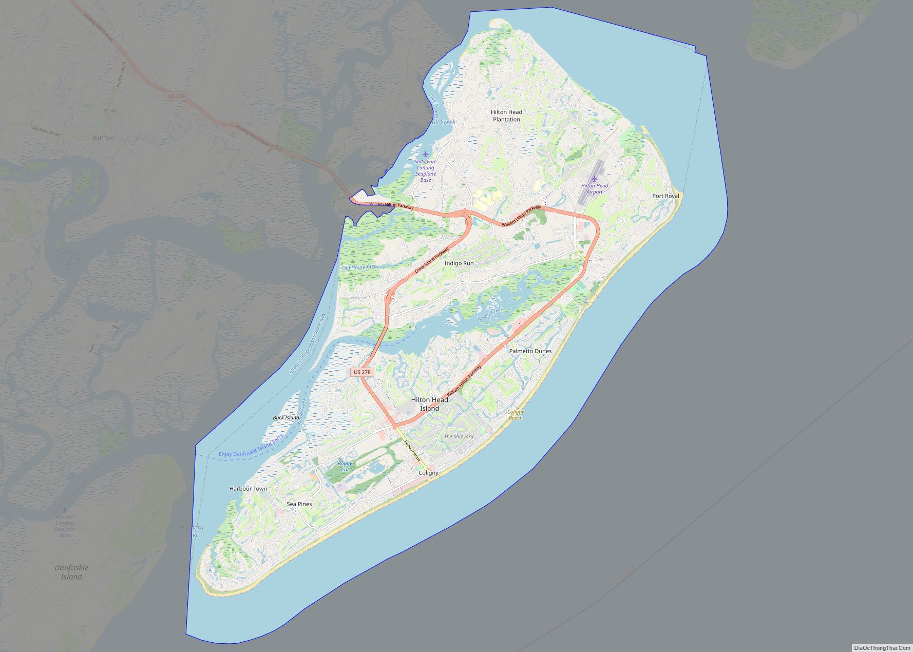
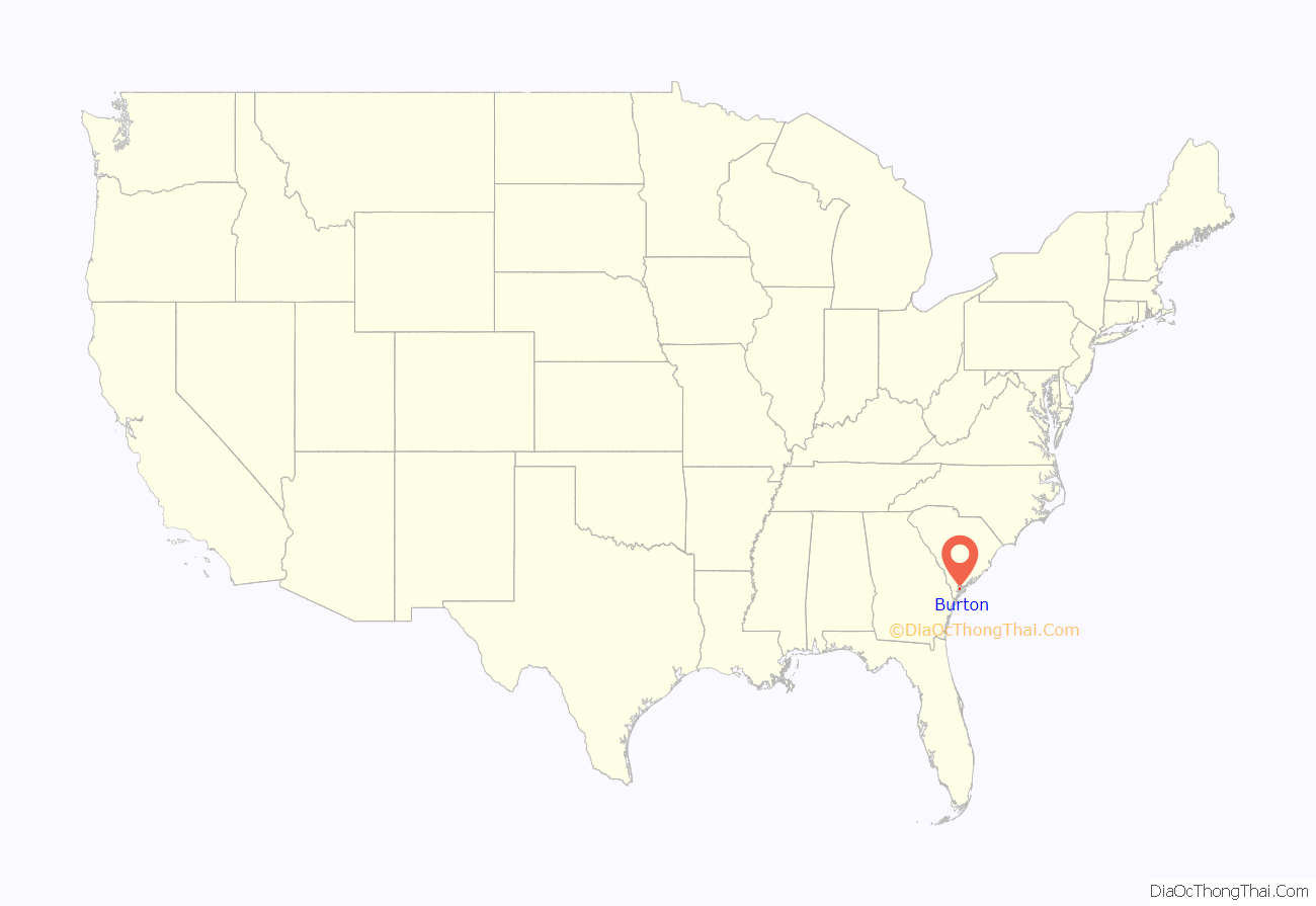
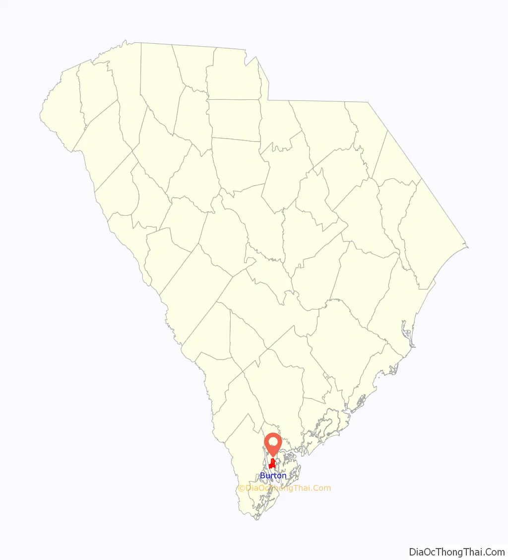
Burton location map. Where is Burton CDP?
History
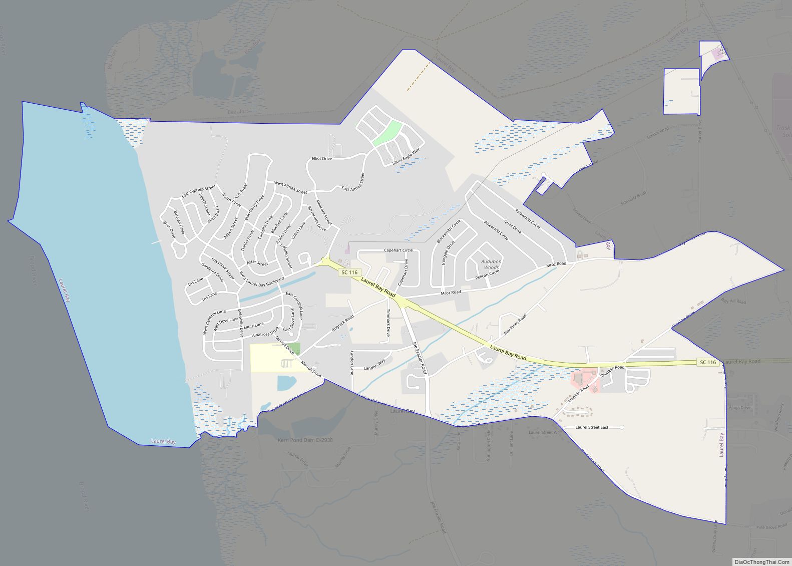
Burton’s heyday was during the truck farming era in Beaufort County from 1900–1930. The “center” of Burton was where Broad River Boulevard crosses the abandoned Port Royal Railroad tracks and U.S. Route 21.
Burton Road Map
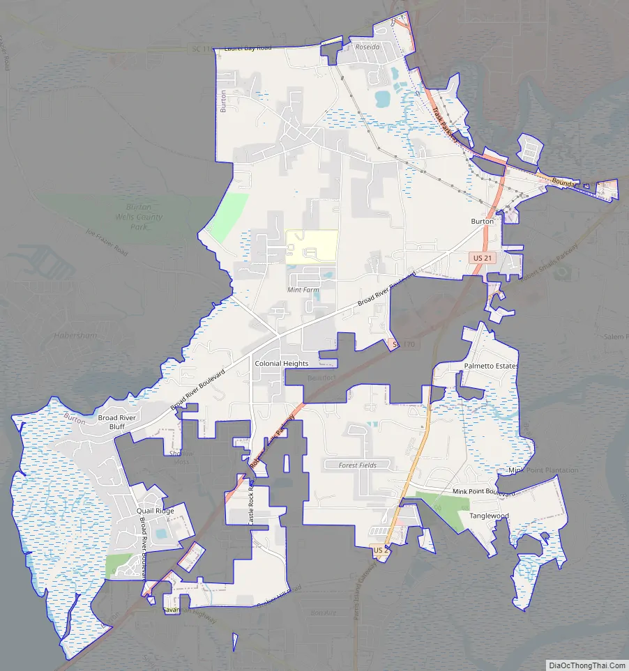
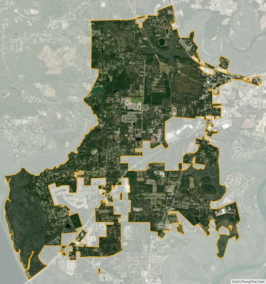
Burton city Satellite Map
Geography
Burton is located at 32°25′31″N 80°44′18″W / 32.42528°N 80.73833°W / 32.42528; -80.73833 (32.425362, -80.738213).
According to the United States Census Bureau, the CDP has a total area of 8.6 square miles (22.2 km), of which 8.5 square miles (22.1 km) is land and 0.039 square miles (0.1 km), or 0.24%, is water.
See also
Map of South Carolina State and its subdivision:- Abbeville
- Aiken
- Allendale
- Anderson
- Bamberg
- Barnwell
- Beaufort
- Berkeley
- Calhoun
- Charleston
- Cherokee
- Chester
- Chesterfield
- Clarendon
- Colleton
- Darlington
- Dillon
- Dorchester
- Edgefield
- Fairfield
- Florence
- Georgetown
- Greenville
- Greenwood
- Hampton
- Horry
- Jasper
- Kershaw
- Lancaster
- Laurens
- Lee
- Lexington
- Marion
- Marlboro
- McCormick
- Newberry
- Oconee
- Orangeburg
- Pickens
- Richland
- Saluda
- Spartanburg
- Sumter
- Union
- Williamsburg
- York
- Alabama
- Alaska
- Arizona
- Arkansas
- California
- Colorado
- Connecticut
- Delaware
- District of Columbia
- Florida
- Georgia
- Hawaii
- Idaho
- Illinois
- Indiana
- Iowa
- Kansas
- Kentucky
- Louisiana
- Maine
- Maryland
- Massachusetts
- Michigan
- Minnesota
- Mississippi
- Missouri
- Montana
- Nebraska
- Nevada
- New Hampshire
- New Jersey
- New Mexico
- New York
- North Carolina
- North Dakota
- Ohio
- Oklahoma
- Oregon
- Pennsylvania
- Rhode Island
- South Carolina
- South Dakota
- Tennessee
- Texas
- Utah
- Vermont
- Virginia
- Washington
- West Virginia
- Wisconsin
- Wyoming