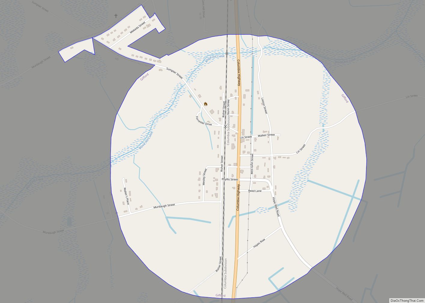
Yemassee (/ˈjɛməsiː/) is a small Lowcountry town in Beaufort and Hampton counties in the U.S. state of South Carolina. The population was 1,027 at the 2010 census. Yemassee is near the borders of Colleton and Jasper counties. The town is divided by the county line between Beaufort and Hampton counties, which follows the roadbed of the CSX railroad. Most of the town’s population presently lies within Hampton County (as of 2019). As defined by the U.S. Census Bureau, the Beaufort County portion of Yemassee is included within the Hilton Head Island-Bluffton-Beaufort, SC Metropolitan Statistical Area. Yemassee hosts one of the few commercial breeding facilities of non-human primates in the entire United States, Alpha Genesis, Inc., which serves as a major employer for the town. Also, the Frank Lloyd Wright-designed Auldbrass Plantation house and outbuildings lie just outside the town limits of Yemassee.
| Name: | Yemassee town |
|---|---|
| LSAD Code: | 43 |
| LSAD Description: | town (suffix) |
| State: | South Carolina |
| County: | Beaufort County, Hampton County |
| Elevation: | 43 ft (13 m) |
| Total Area: | 8.12 sq mi (21.02 km²) |
| Land Area: | 8.11 sq mi (20.99 km²) |
| Water Area: | 0.01 sq mi (0.02 km²) |
| Total Population: | 1,080 |
| Population Density: | 133.23/sq mi (51.44/km²) |
| ZIP code: | 29945 |
| Area code: | 843, 854 |
| FIPS code: | 4579450 |
| GNISfeature ID: | 1227730 |
| Website: | www.townofyemassee.org |
Online Interactive Map
Click on ![]() to view map in "full screen" mode.
to view map in "full screen" mode.
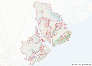
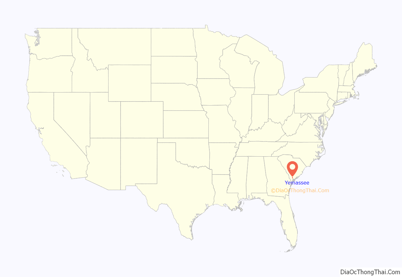
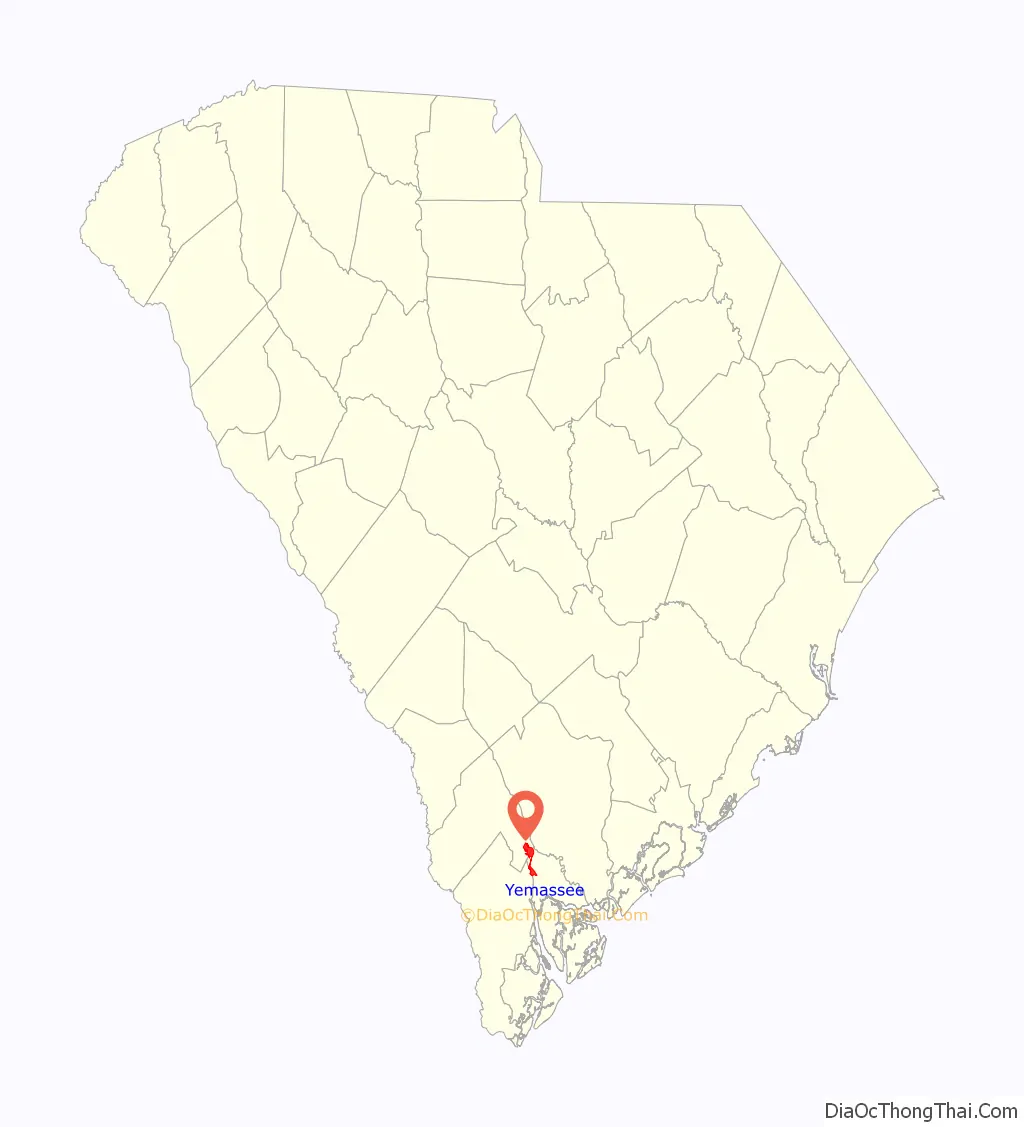
Yemassee location map. Where is Yemassee town?
History
The town takes its name from the Native American tribe of the same name, the Yamasee, which was the most important Indian ally of South Carolina until the Yamasee War of 1715. The first attack that began the Yamasee War occurred in the Yamasee town of Pocotaligo, today part of the town of Yemassee.
The site of the present town is surrounded by both Revolutionary and Civil War sites. The remains of Civil War field fortifications can be observed along U.S. 21 and 17A between Yemassee and Pocotaligo (that section of highway is now a part of Yemassee, as the town has now greatly expanded into Beaufort County. Within the Town limits are three historical plantations including Bindon, Cotton Hall, and Tomotley, with the latter two annexed into the Town in 2021.
William Gilmore Simms published the novel The Yemassee: A Romance of Carolina in the 19th century, and the University of South Carolina in Columbia publishes a literary journal titled Yemassee.
The Yemassee Train Depot was the final stop for Marine Corps Recruits to Parris Island for much of the 19th and 20th centuries.
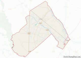
Yemassee Road Map

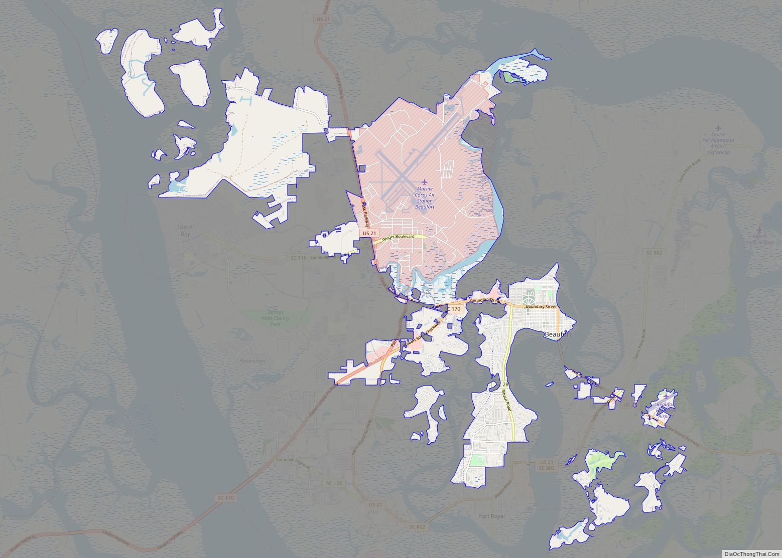
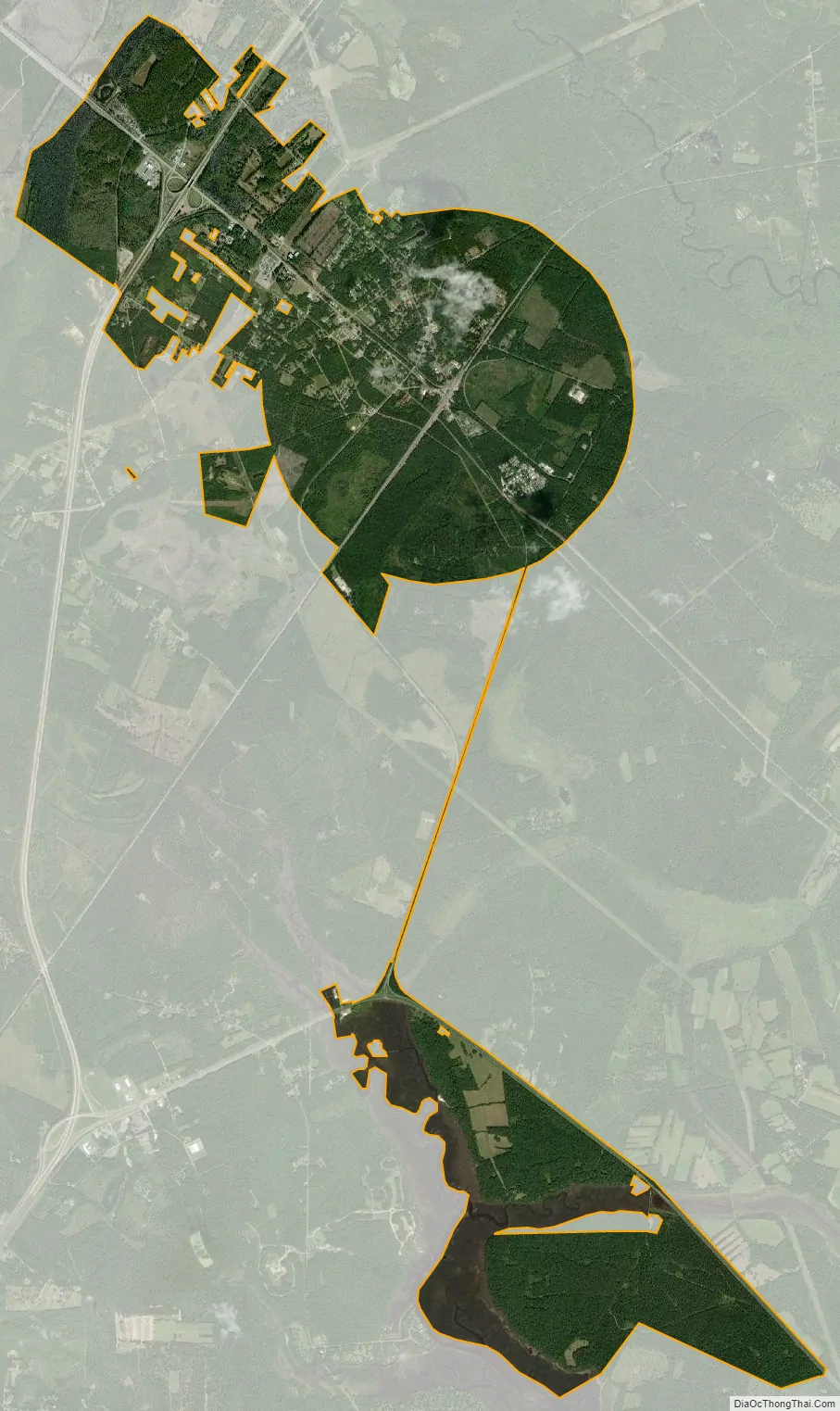
Yemassee city Satellite Map
Geography
Yemassee is located at 32°41′41″N 80°51′11″W / 32.69472°N 80.85306°W / 32.69472; -80.85306 (32.694771, -80.853091).
According to the United States Census Bureau, the town has a total area of 4.5 square miles (11.7 km), all land.
Climate
See also
Map of South Carolina State and its subdivision:- Abbeville
- Aiken
- Allendale
- Anderson
- Bamberg
- Barnwell
- Beaufort
- Berkeley
- Calhoun
- Charleston
- Cherokee
- Chester
- Chesterfield
- Clarendon
- Colleton
- Darlington
- Dillon
- Dorchester
- Edgefield
- Fairfield
- Florence
- Georgetown
- Greenville
- Greenwood
- Hampton
- Horry
- Jasper
- Kershaw
- Lancaster
- Laurens
- Lee
- Lexington
- Marion
- Marlboro
- McCormick
- Newberry
- Oconee
- Orangeburg
- Pickens
- Richland
- Saluda
- Spartanburg
- Sumter
- Union
- Williamsburg
- York
- Alabama
- Alaska
- Arizona
- Arkansas
- California
- Colorado
- Connecticut
- Delaware
- District of Columbia
- Florida
- Georgia
- Hawaii
- Idaho
- Illinois
- Indiana
- Iowa
- Kansas
- Kentucky
- Louisiana
- Maine
- Maryland
- Massachusetts
- Michigan
- Minnesota
- Mississippi
- Missouri
- Montana
- Nebraska
- Nevada
- New Hampshire
- New Jersey
- New Mexico
- New York
- North Carolina
- North Dakota
- Ohio
- Oklahoma
- Oregon
- Pennsylvania
- Rhode Island
- South Carolina
- South Dakota
- Tennessee
- Texas
- Utah
- Vermont
- Virginia
- Washington
- West Virginia
- Wisconsin
- Wyoming