Calhoun Falls is a town in Abbeville County, South Carolina, United States. The population was 1,724 at the 2020 census, down from 2,004 at the 2010 census.
The town derives its name from John E. Colhoun (or Calhoun), a United States Senator from South Carolina.
| Name: | Calhoun Falls town |
|---|---|
| LSAD Code: | 43 |
| LSAD Description: | town (suffix) |
| State: | South Carolina |
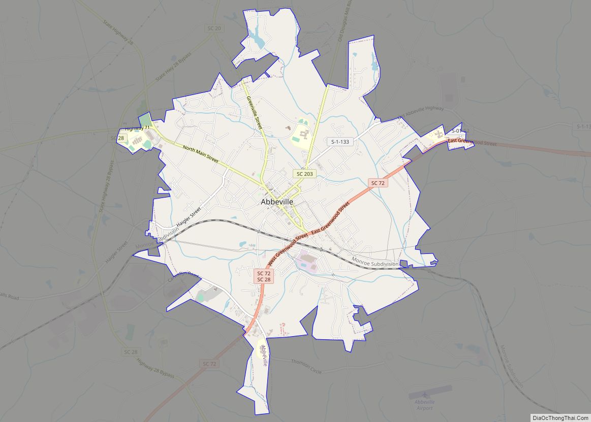
| County: | Abbeville County |
| Elevation: | 525 ft (160 m) |
| Total Area: | 3.46 sq mi (8.96 km²) |
| Land Area: | 3.39 sq mi (8.77 km²) |
| Water Area: | 0.07 sq mi (0.19 km²) |
| Total Population: | 1,727 |
| Population Density: | 509.89/sq mi (196.86/km²) |
| ZIP code: | 29628 |
| Area code: | 864 |
| FIPS code: | 4510720 |
| GNISfeature ID: | 1247089 |
| Website: | www.townofcalhounfallssc.com |
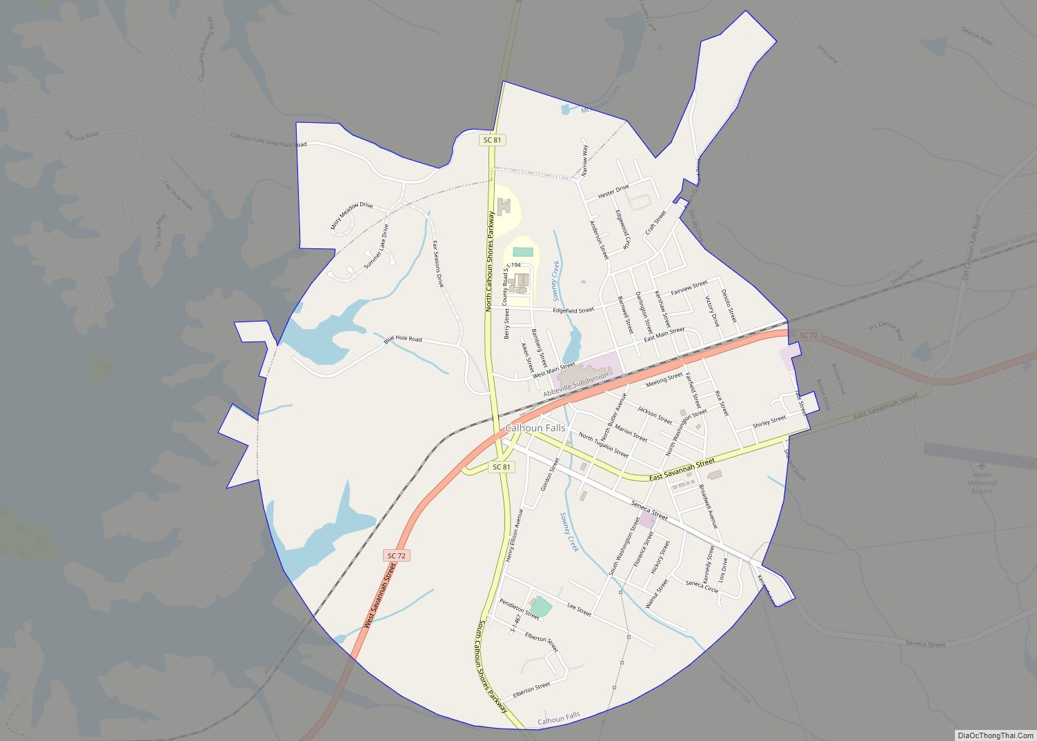
Online Interactive Map
Click on ![]() to view map in "full screen" mode.
to view map in "full screen" mode.
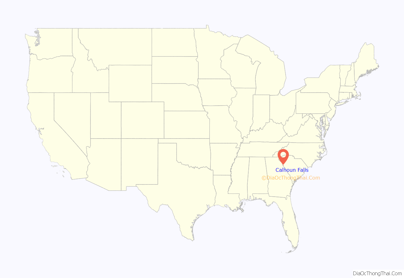
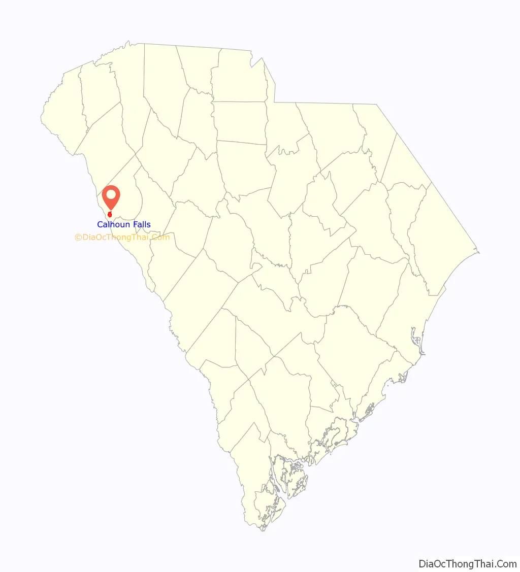
Calhoun Falls location map. Where is Calhoun Falls town?
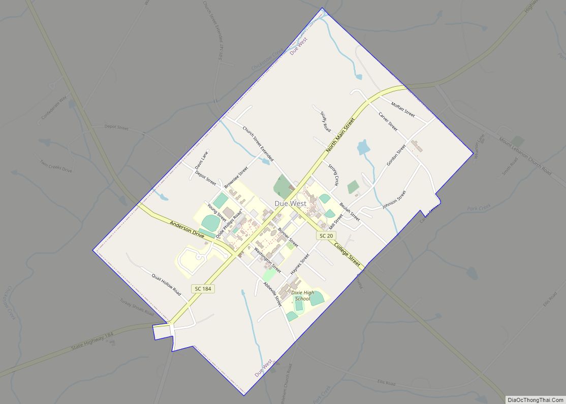
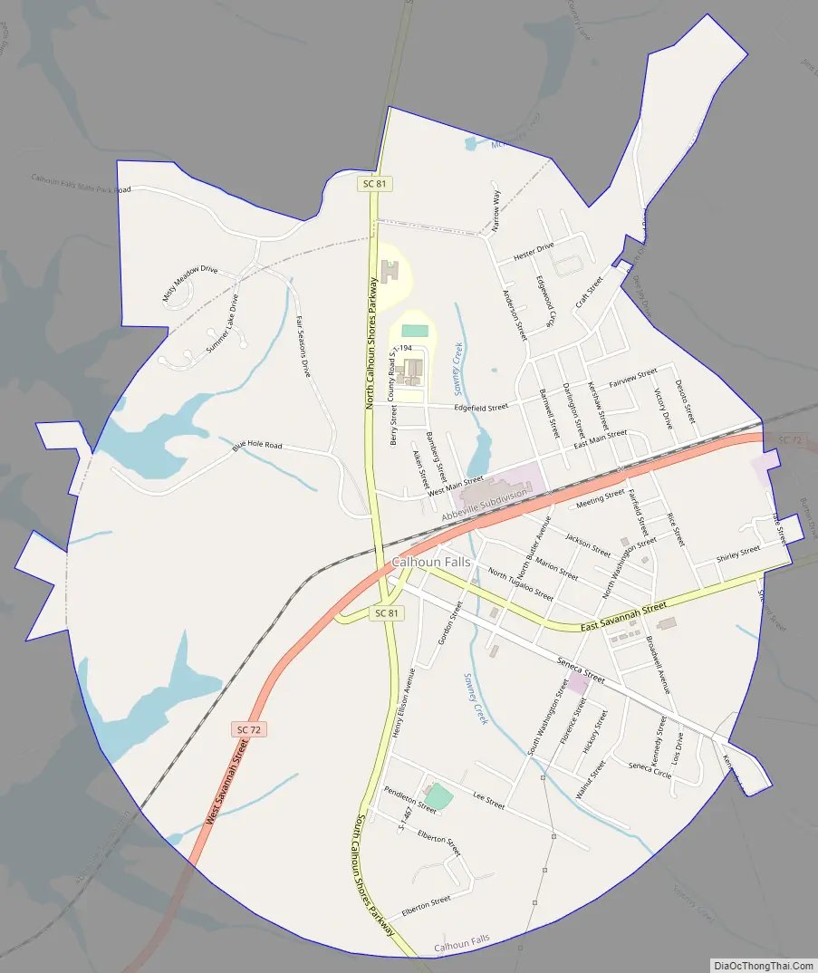
Calhoun Falls Road Map
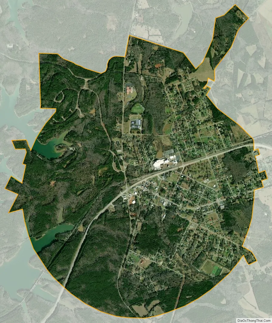
Calhoun Falls city Satellite Map
Geography
Calhoun Falls is located at 34°5′34″N 82°35′23″W / 34.09278°N 82.58972°W / 34.09278; -82.58972 (34.092870, -82.589746).
The Calhoun Falls State Recreation Area is located nearby. Lake Richard B. Russell, which straddles the Georgia–South Carolina border, is approximately 3 miles (5 km) west of Calhoun Falls. Calhoun Falls State Park, a South Carolina state park, is within 1 mile (1.6 km); and Bobby Brown State Park, a Georgia state park, is within 5 miles (8 km).
Calhoun Falls is situated at the junction of two major South Carolina state highways: South Carolina Highway 72 and South Carolina Highway 81. The former links the town with Elberton, Georgia, Athens, Georgia, and ultimately Atlanta to the west; and Abbeville, Greenwood, and ultimately metro Charlotte to the east. The latter links the town with Anderson to the north and McCormick to the south. Highway 72 has recently been re-routed around downtown Calhoun Falls as a four-lane 45-mph bypass.
According to the United States Census Bureau, the town has a total area of 3.5 square miles (9.0 km), of which 3.4 square miles (8.8 km) is land and 0.077 square miles (0.2 km), or 2.14%, is water.
See also
Map of South Carolina State and its subdivision:- Abbeville
- Aiken
- Allendale
- Anderson
- Bamberg
- Barnwell
- Beaufort
- Berkeley
- Calhoun
- Charleston
- Cherokee
- Chester
- Chesterfield
- Clarendon
- Colleton
- Darlington
- Dillon
- Dorchester
- Edgefield
- Fairfield
- Florence
- Georgetown
- Greenville
- Greenwood
- Hampton
- Horry
- Jasper
- Kershaw
- Lancaster
- Laurens
- Lee
- Lexington
- Marion
- Marlboro
- McCormick
- Newberry
- Oconee
- Orangeburg
- Pickens
- Richland
- Saluda
- Spartanburg
- Sumter
- Union
- Williamsburg
- York
- Alabama
- Alaska
- Arizona
- Arkansas
- California
- Colorado
- Connecticut
- Delaware
- District of Columbia
- Florida
- Georgia
- Hawaii
- Idaho
- Illinois
- Indiana
- Iowa
- Kansas
- Kentucky
- Louisiana
- Maine
- Maryland
- Massachusetts
- Michigan
- Minnesota
- Mississippi
- Missouri
- Montana
- Nebraska
- Nevada
- New Hampshire
- New Jersey
- New Mexico
- New York
- North Carolina
- North Dakota
- Ohio
- Oklahoma
- Oregon
- Pennsylvania
- Rhode Island
- South Carolina
- South Dakota
- Tennessee
- Texas
- Utah
- Vermont
- Virginia
- Washington
- West Virginia
- Wisconsin
- Wyoming