Duncan is a town in Spartanburg County, South Carolina, United States. Its population was 3,181 at the 2010 census.
| Name: | Duncan town |
|---|---|
| LSAD Code: | 43 |
| LSAD Description: | town (suffix) |
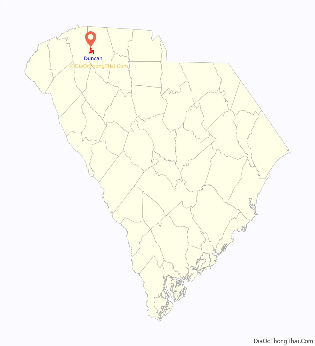
| State: | South Carolina |
| County: | Spartanburg County |
| Elevation: | 866 ft (264 m) |
| Total Area: | 5.52 sq mi (14.29 km²) |
| Land Area: | 5.42 sq mi (14.03 km²) |
| Water Area: | 0.10 sq mi (0.27 km²) |
| Total Population: | 4,041 |
| Population Density: | 746.26/sq mi (288.12/km²) |
| ZIP code: | 29334, 29390, 29391 |
| Area code: | 864 |
| FIPS code: | 4521265 |
| GNISfeature ID: | 1247572 |
| Website: | townofduncansc.com |
Online Interactive Map
Click on ![]() to view map in "full screen" mode.
to view map in "full screen" mode.
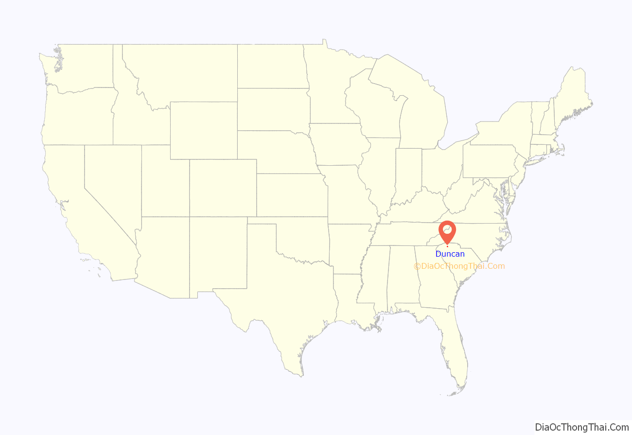
Duncan location map. Where is Duncan town?
History
In 1811, a post office was established on what is now S.C. Highway 290. A tiny settlement sprung up around it, and both the post office and community were named New Hope. In 1854, the town changed its name to Vernonville or Vernonsville in honor of local physician J.J. Vernon.
In the mid-1850s, plans were under way to put a railroad line through Duncan, but the impending Civil War disrupted them. It was not until 1873 that the Atlanta and Richmond Railroad laid a line through the town.
Shortly after the Civil War, Leroy Duncan came to town and began buying land. Duncan was an ambitious man who craved recognition. During celebrations for the new railroad line, he promised townspeople he would provide land for city streets if they would agree to rename the town after him. In 1881, the name change became official.
Duncan became the site of an important footnote in Spartanburg County’s African-American history when the Rock Hill Negro School opened in Duncan in 1881.
Within two years of its name change, Duncan boasted a population of 200, along with several general stores, saw and flour mills and a cotton gin. The town received its charter in 1889.
The Hughes Hotel, opened in 1892, became a focal point of the town and drew travelers from the Greenville-Spartanburg road.
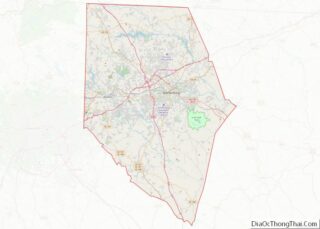
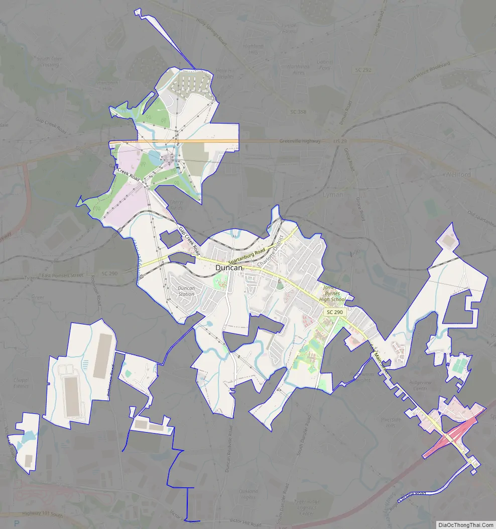
Duncan Road Map
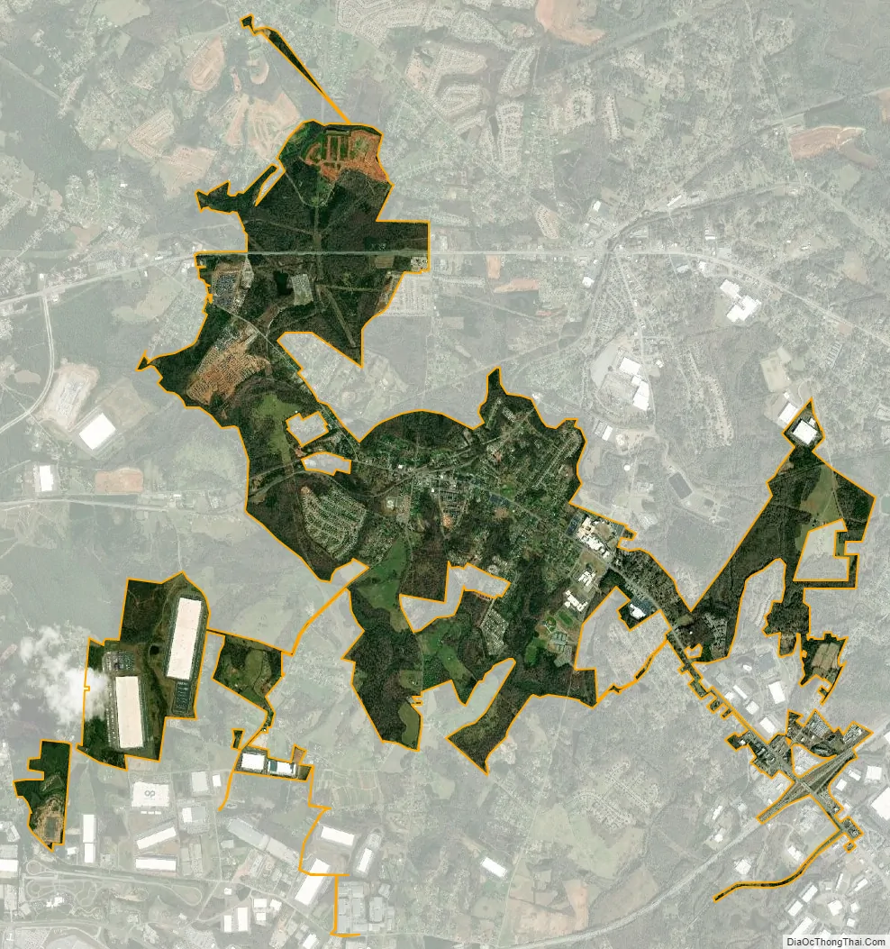
Duncan city Satellite Map
Geography
Duncan is located at 34°56′6″N 82°8′5″W / 34.93500°N 82.13472°W / 34.93500; -82.13472 (34.934983, -82.134801). The town is concentrated around the intersection of South Carolina Highway 290 and South Carolina Highway 292, west of Spartanburg and east of Greenville. Its corporate boundaries extend northward to beyond U.S. Route 29, and southward to Interstate 85. The Middle Tyger River passes through the northern part of Duncan, and provides part of the town’s boundary with Lyman to the northeast.
According to the United States Census Bureau, the town has a total area of 3.5 square miles (9.1 km), all land.
See also
Map of South Carolina State and its subdivision:- Abbeville
- Aiken
- Allendale
- Anderson
- Bamberg
- Barnwell
- Beaufort
- Berkeley
- Calhoun
- Charleston
- Cherokee
- Chester
- Chesterfield
- Clarendon
- Colleton
- Darlington
- Dillon
- Dorchester
- Edgefield
- Fairfield
- Florence
- Georgetown
- Greenville
- Greenwood
- Hampton
- Horry
- Jasper
- Kershaw
- Lancaster
- Laurens
- Lee
- Lexington
- Marion
- Marlboro
- McCormick
- Newberry
- Oconee
- Orangeburg
- Pickens
- Richland
- Saluda
- Spartanburg
- Sumter
- Union
- Williamsburg
- York
- Alabama
- Alaska
- Arizona
- Arkansas
- California
- Colorado
- Connecticut
- Delaware
- District of Columbia
- Florida
- Georgia
- Hawaii
- Idaho
- Illinois
- Indiana
- Iowa
- Kansas
- Kentucky
- Louisiana
- Maine
- Maryland
- Massachusetts
- Michigan
- Minnesota
- Mississippi
- Missouri
- Montana
- Nebraska
- Nevada
- New Hampshire
- New Jersey
- New Mexico
- New York
- North Carolina
- North Dakota
- Ohio
- Oklahoma
- Oregon
- Pennsylvania
- Rhode Island
- South Carolina
- South Dakota
- Tennessee
- Texas
- Utah
- Vermont
- Virginia
- Washington
- West Virginia
- Wisconsin
- Wyoming