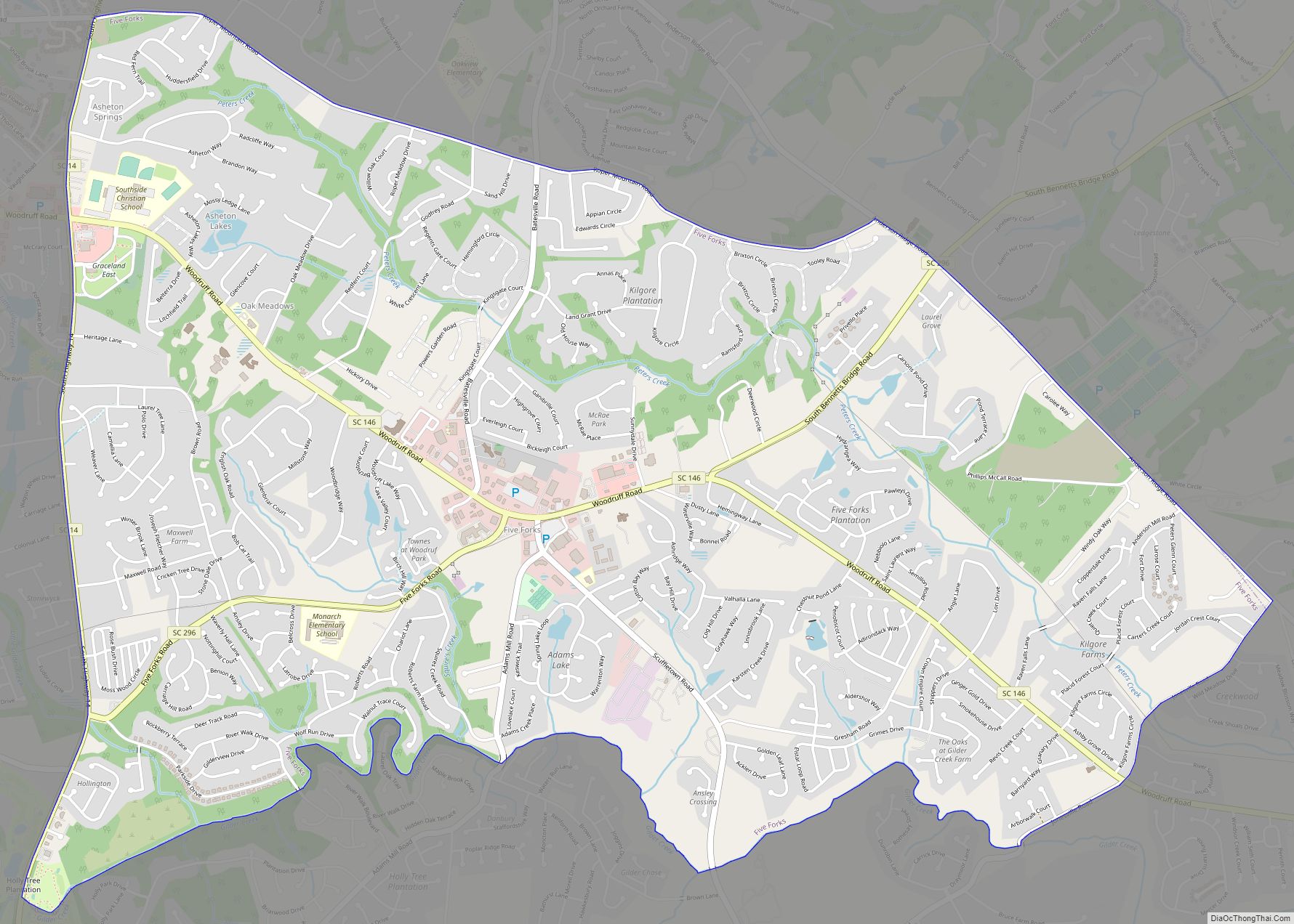
Five Forks is a census-designated place (CDP) in Greenville County, South Carolina, United States. The population was 17,737 at the 2020 census, up from 14,140 in 2010, and 8,064 in 2000. It is a growing, affluent suburb of Greenville and is part of the Greenville–Mauldin–Easley Metropolitan Statistical Area.
| Name: | Five Forks CDP |
|---|---|
| LSAD Code: | 57 |
| LSAD Description: | CDP (suffix) |
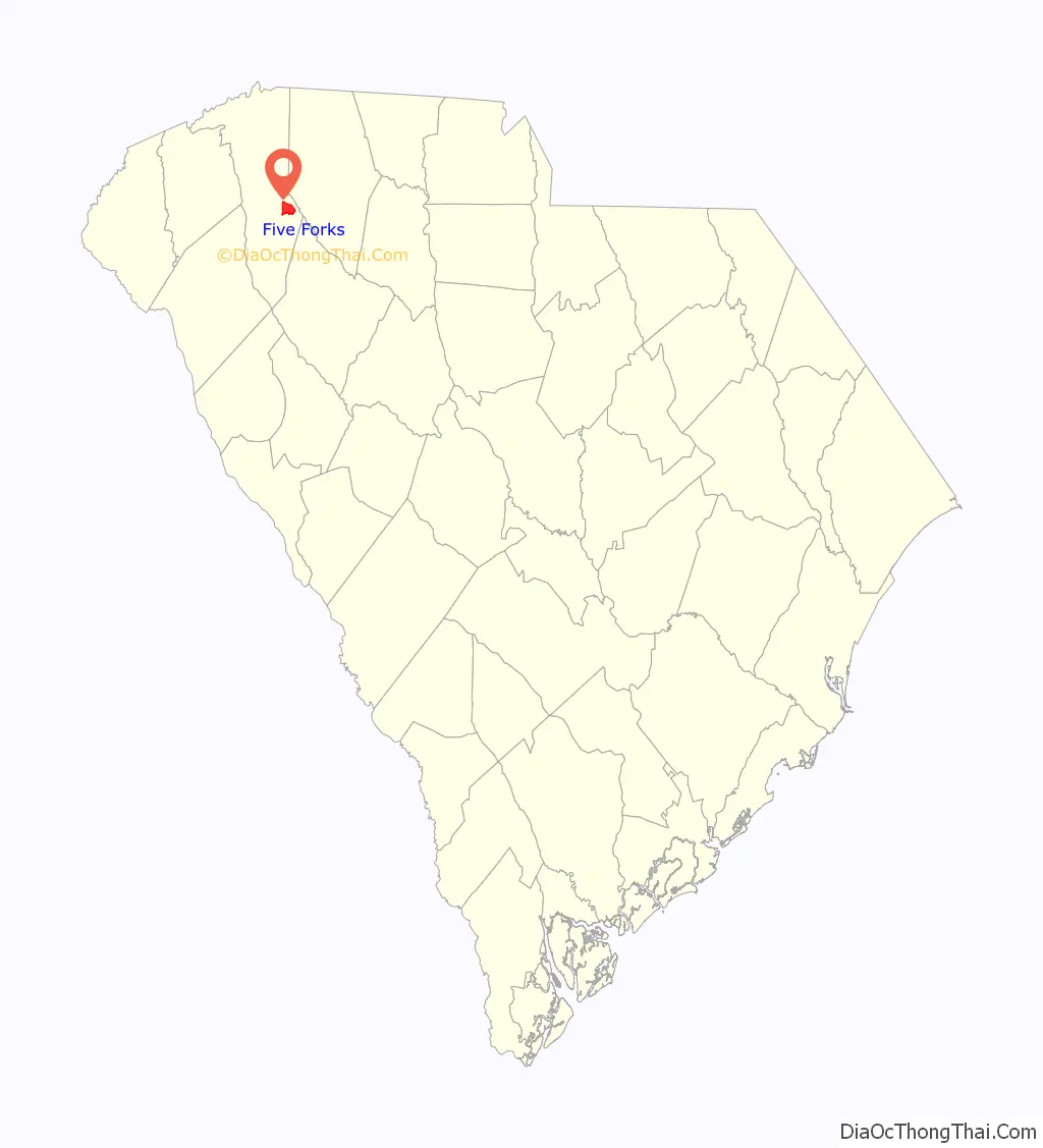
| State: | South Carolina |
| County: | Greenville County |
| Elevation: | 876 ft (267 m) |
| Total Area: | 7.61 sq mi (19.72 km²) |
| Land Area: | 7.57 sq mi (19.61 km²) |
| Water Area: | 0.04 sq mi (0.11 km²) |
| Total Population: | 17,737 |
| Population Density: | 2,342.76/sq mi (904.58/km²) |
| ZIP code: | 29681 (Simpsonville), 29651 (Greer) |
| Area code: | 864 |
| FIPS code: | 4525540 |
| GNISfeature ID: | 1222418 |
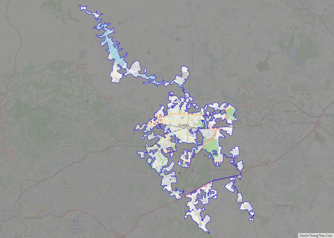
Online Interactive Map
Click on ![]() to view map in "full screen" mode.
to view map in "full screen" mode.
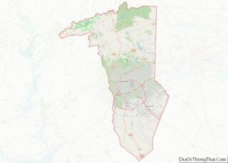
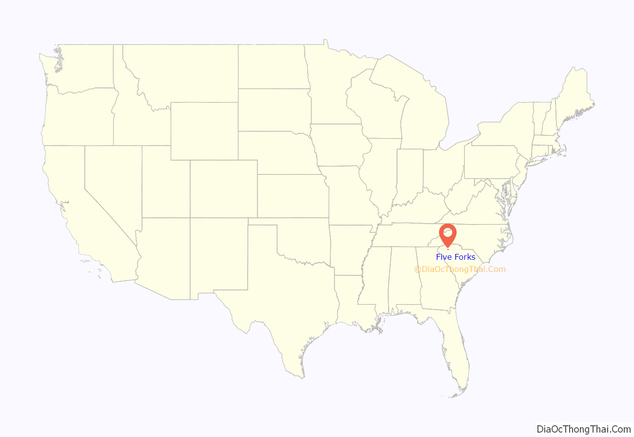
Five Forks location map. Where is Five Forks CDP?
History
The Five Forks area is named for a conflux of five roads, which the Greenville edition of The Post and Courier identifies as Woodruff (the main east–west artery), Batesville, Scuffletown, Bennetts Bridge, and one now called Five Forks Road. The area was still very rural into the early 1990s before rapid growth made it a destination for shopping, restaurants, and entertainment. A 1983 USGS map of the region shows an asterisk- or star-shaped intersection of roads – Woodruff passing through, with Adams Mill, Five Forks, and Scuffletown – before a Woodruff bypass and other realignment changed it.
In 2019, Niche.com ranked Five Forks as the best place to live, and second best place to raise a family, out of 190 best places in South Carolina.
In April 2019, an EF1 tornado was confirmed to have touched down, beginning in Simpsonville and ending its path in Five Forks.
In March 2021, an area plan for Five Forks was posted by Greenville County for comment. The plan had been developed since 2018 by a committee of Five Forks residents to address heavy traffic, loss of trees, and inconsistent growth, and covers commercial design, environmental protection, and goals for residential control. All three county council members who represent parts of Five Forks support the plan, and no one spoke against it at a public hearing in May 2021. The county’s addition of overlay districts, as suggested by the plan, would legally govern future development in Five Forks. A motion for the council to adopt the plan as an amendment to the county’s comprehensive plan was unanimously carried in August 2021.
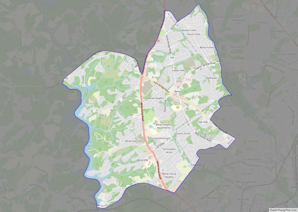
Five Forks Road Map
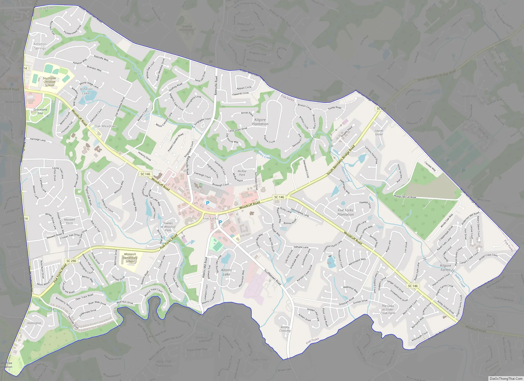
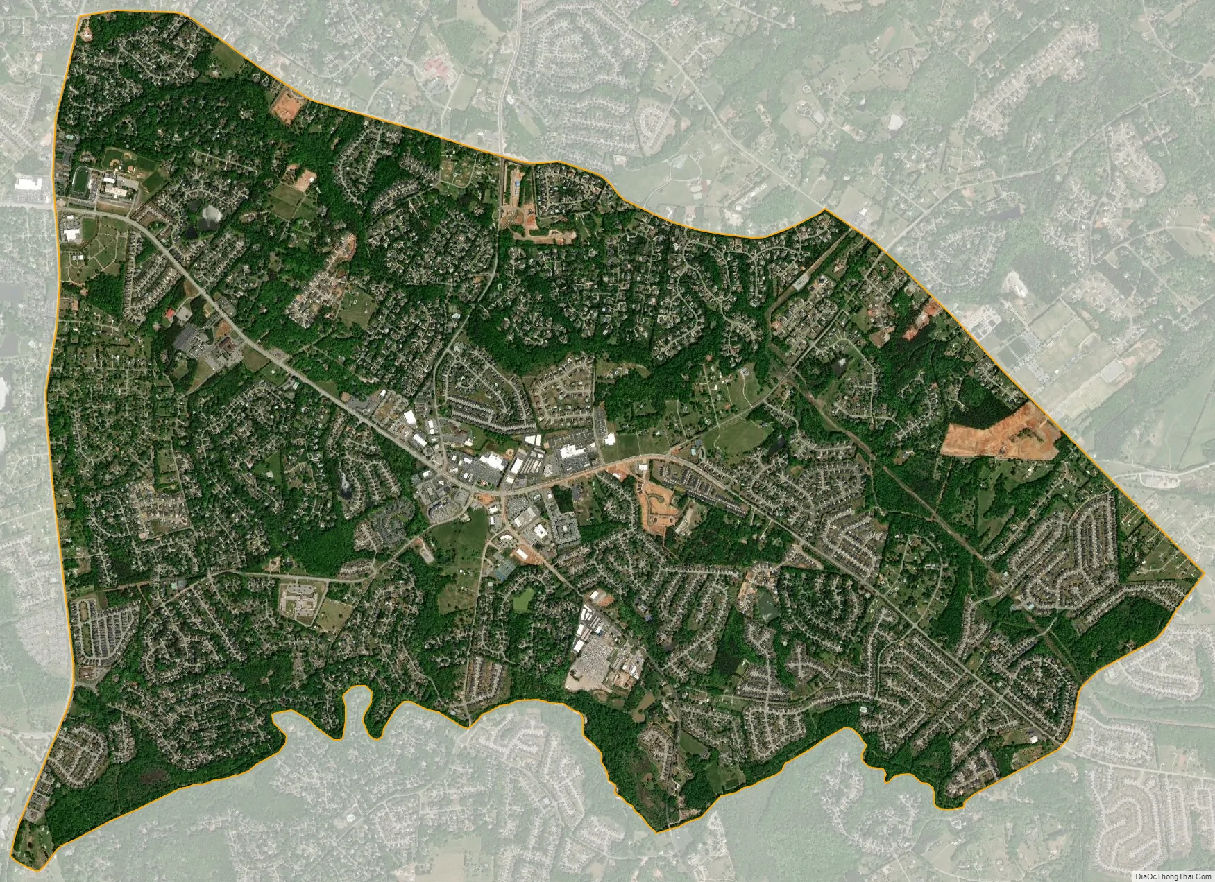
Five Forks city Satellite Map
Geography
Five Forks is located in eastern Greenville County at 34°48′21″N 82°13′49″W / 34.80583°N 82.23028°W / 34.80583; -82.23028 (34.805912, -82.230346). It is 11 miles (18 km) east of the Downtown Greenville.
The area is bounded by SC 14 to the west, Roper Mountain and Anderson Ridge roads to the north, Jonesville Road to the east, and Gilder Creek (a tributary of the Enoree River) to the south. According to the United States Census Bureau, the CDP has a total area of 7.6 square miles (19.7 km), of which 0.04 square miles (0.1 km), or 0.59%, is water.
See also
Map of South Carolina State and its subdivision:- Abbeville
- Aiken
- Allendale
- Anderson
- Bamberg
- Barnwell
- Beaufort
- Berkeley
- Calhoun
- Charleston
- Cherokee
- Chester
- Chesterfield
- Clarendon
- Colleton
- Darlington
- Dillon
- Dorchester
- Edgefield
- Fairfield
- Florence
- Georgetown
- Greenville
- Greenwood
- Hampton
- Horry
- Jasper
- Kershaw
- Lancaster
- Laurens
- Lee
- Lexington
- Marion
- Marlboro
- McCormick
- Newberry
- Oconee
- Orangeburg
- Pickens
- Richland
- Saluda
- Spartanburg
- Sumter
- Union
- Williamsburg
- York
- Alabama
- Alaska
- Arizona
- Arkansas
- California
- Colorado
- Connecticut
- Delaware
- District of Columbia
- Florida
- Georgia
- Hawaii
- Idaho
- Illinois
- Indiana
- Iowa
- Kansas
- Kentucky
- Louisiana
- Maine
- Maryland
- Massachusetts
- Michigan
- Minnesota
- Mississippi
- Missouri
- Montana
- Nebraska
- Nevada
- New Hampshire
- New Jersey
- New Mexico
- New York
- North Carolina
- North Dakota
- Ohio
- Oklahoma
- Oregon
- Pennsylvania
- Rhode Island
- South Carolina
- South Dakota
- Tennessee
- Texas
- Utah
- Vermont
- Virginia
- Washington
- West Virginia
- Wisconsin
- Wyoming