Mauldin is a city in Greenville County, South Carolina, United States. The population was 24,724 at the 2020 census. It is a principal city of the Greenville–Anderson-Mauldin Metropolitan Statistical Area.
| Name: | Mauldin city |
|---|---|
| LSAD Code: | 25 |
| LSAD Description: | city (suffix) |
| State: | South Carolina |
| County: | Greenville County |
| Founded: | 1784 |
| Elevation: | 942 ft (287 m) |
| Land Area: | 12.07 sq mi (31.26 km²) |
| Water Area: | 0.06 sq mi (0.17 km²) |
| Population Density: | 2,048.72/sq mi (791.00/km²) |
| ZIP code: | 29662 |
| Area code: | 864 |
| FIPS code: | 4545115 |
| GNISfeature ID: | 1246563 |
| Website: | www.cityofmauldin.org |
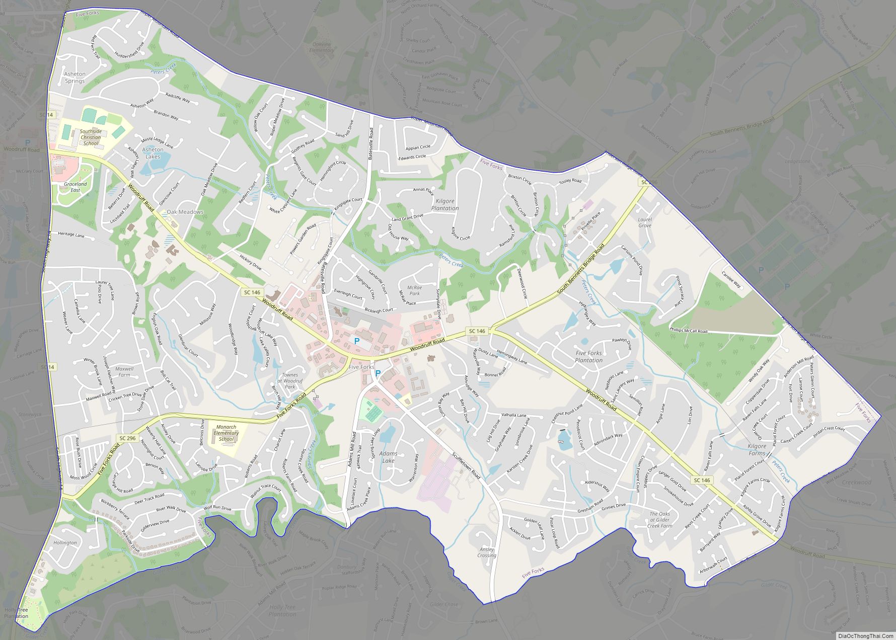
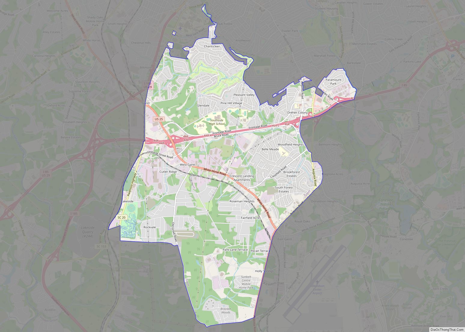
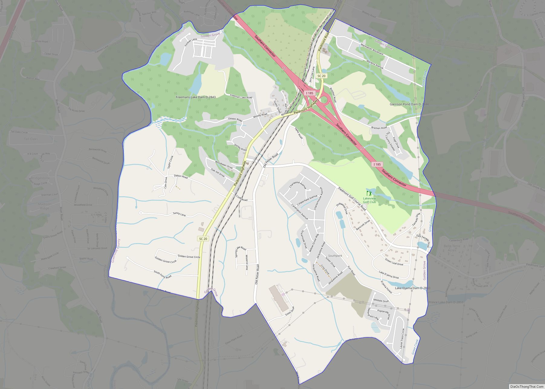
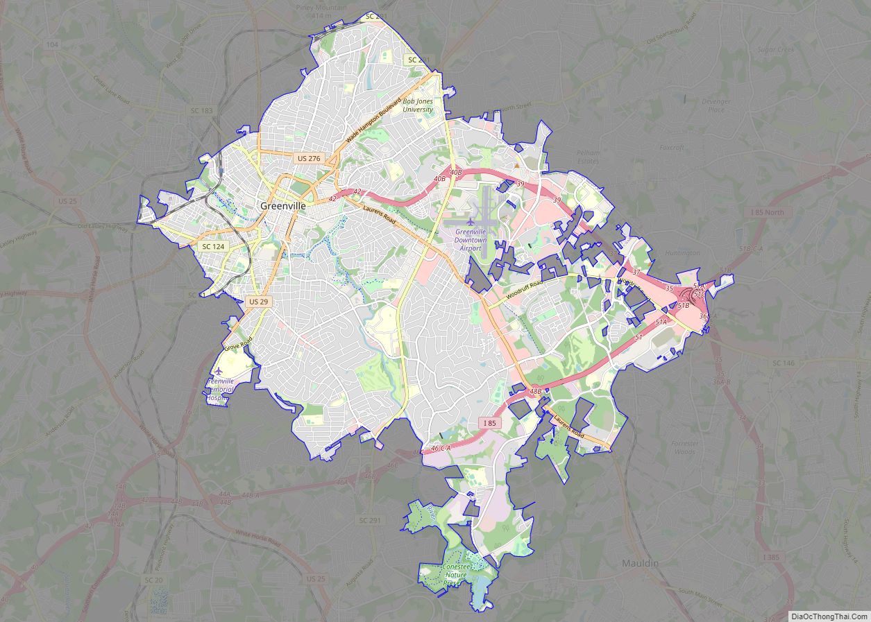
Online Interactive Map
Click on ![]() to view map in "full screen" mode.
to view map in "full screen" mode.
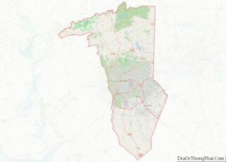
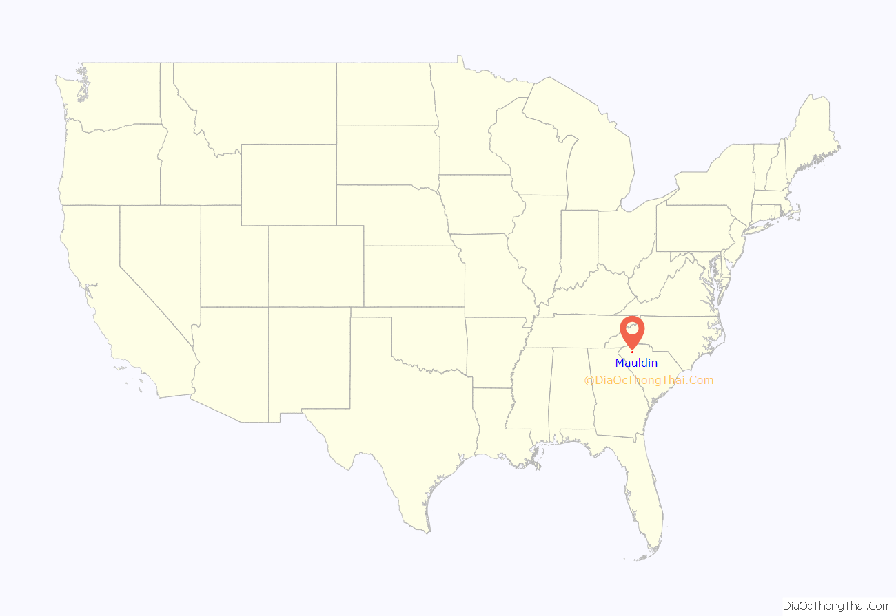
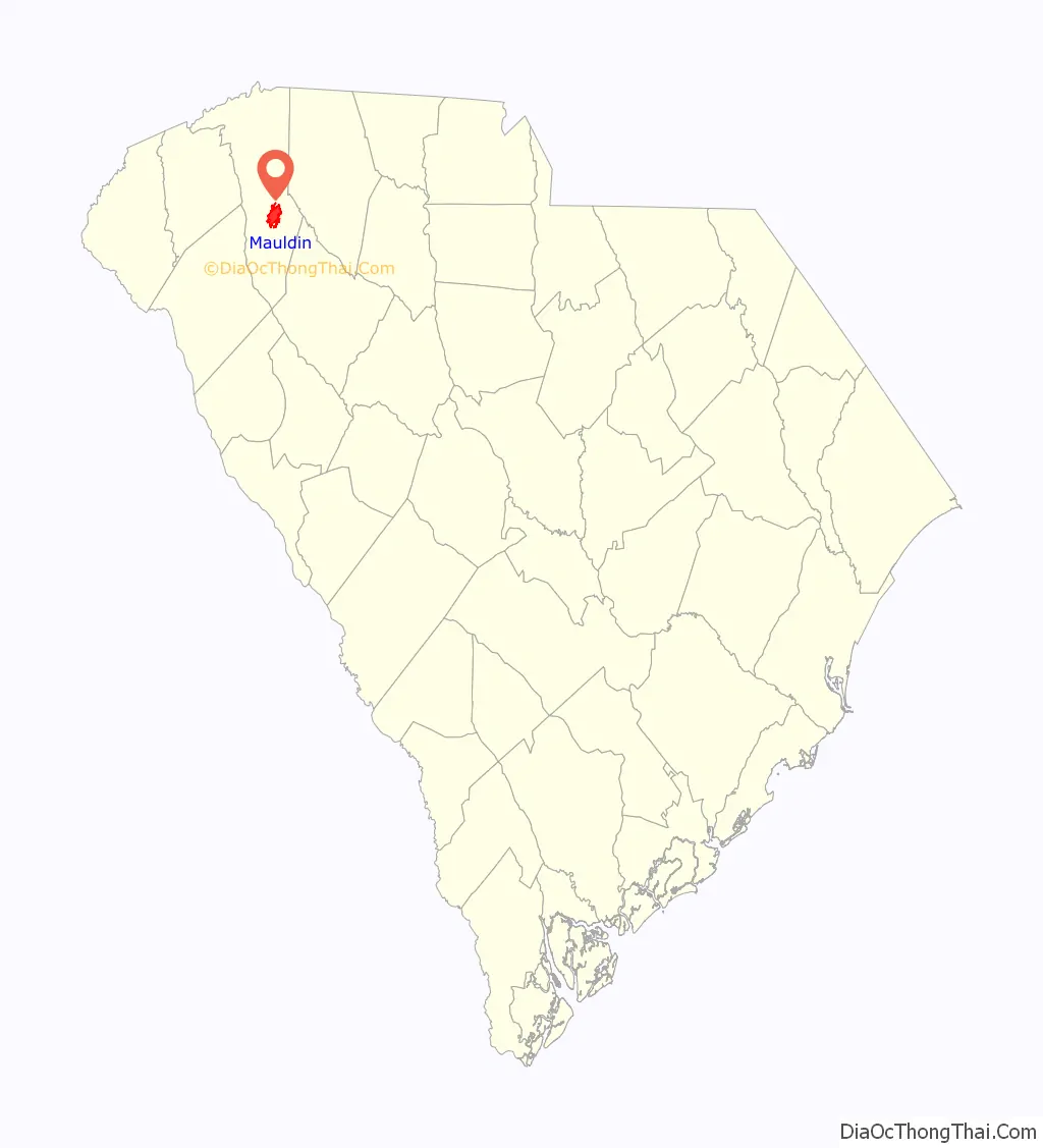
Mauldin location map. Where is Mauldin city?
History
Benjamin Griffith was awarded the first land grant in what is now called Mauldin in 1784. The name of Mauldin was given to the town almost accidentally in 1820 thanks to South Carolina‘s lieutenant governor, W. L. Mauldin. The train station was called “Mauldin” because the lieutenant governor had assisted in getting the Greenville and Laurens Railroad to come through the village. Over time, the entire area took the name of Mauldin.
During the Civil War, many of Mauldin’s citizens left to fight, and the city virtually dried up. It never completely recovered until after World War II when the community was incorporated as a town (1960).
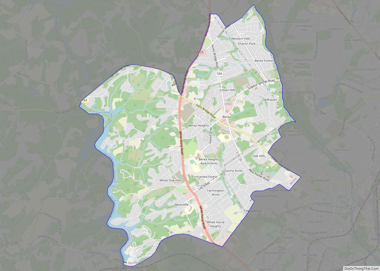
Mauldin Road Map
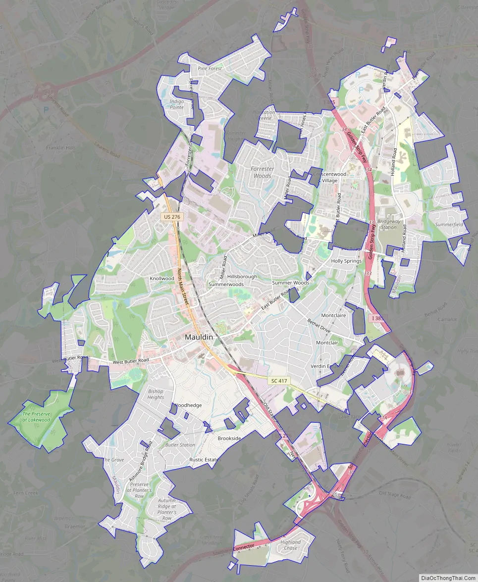
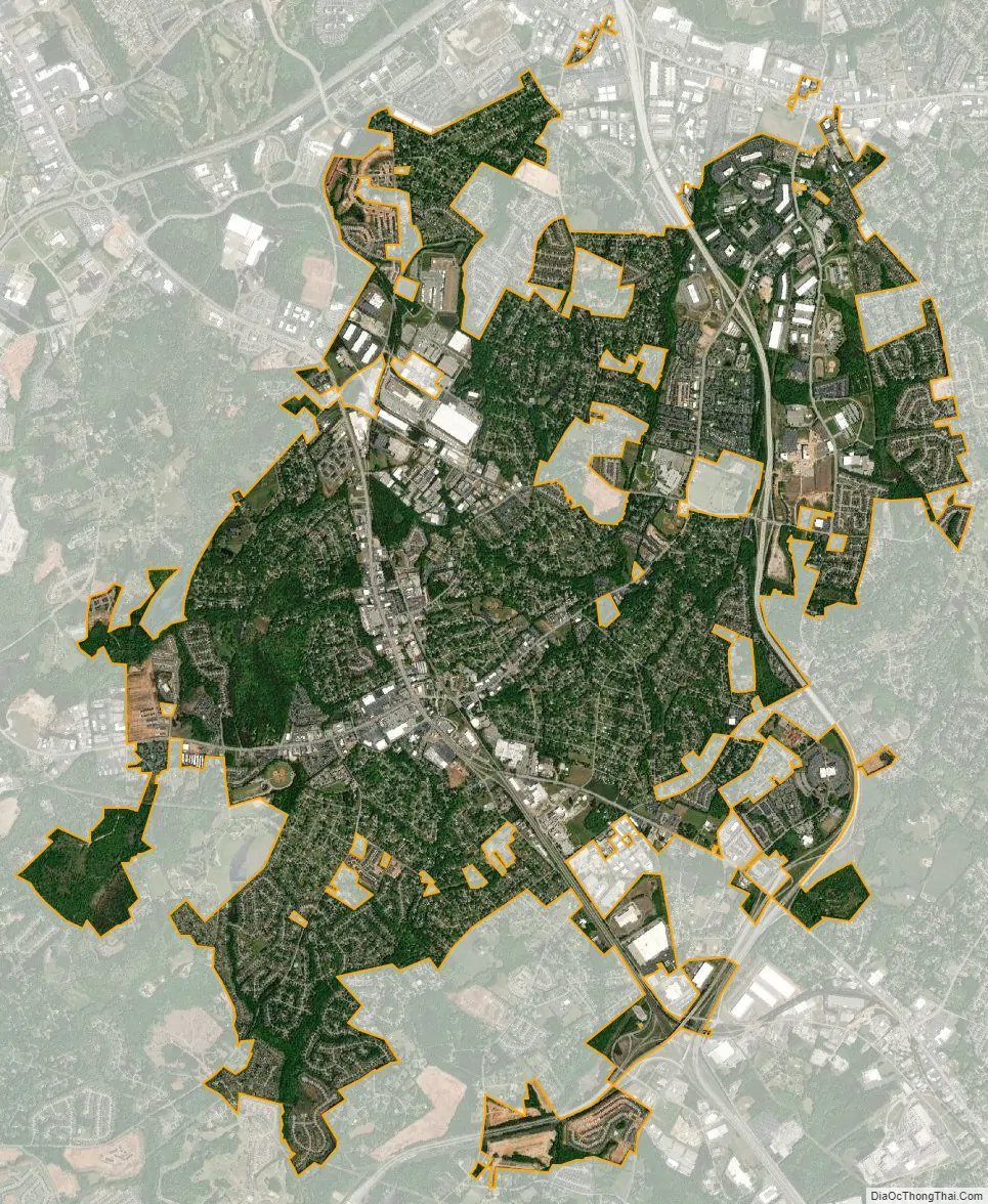
Mauldin city Satellite Map
Geography
Mauldin is located south of the center of Greenville County, between the city of Greenville to the northwest and Simpsonville to the southeast. According to the United States Census Bureau, the city has a total area of 10.0 square miles (25.9 km), of which 0.04 square miles (0.1 km), or 0.46%, are water.
U.S. Route 276 (Main Street) passes through the center of Mauldin, leading northwest 8 miles (13 km) to the center of Greenville and southeast 5 miles (8 km) to Simpsonville. Interstate 385 runs through the eastern side of Mauldin, leading north to Interstate 85 on the east side of Greenville. I-385 connects with Interstate 185 on the southern edge of Mauldin, and I-185 continues west and northwest 13 miles (21 km) to join I-85 on the southwest side of Greenville. From its interchange with I-185, I-385 leads southeast 30 miles (48 km) to Interstate 26 near Clinton.
See also
Map of South Carolina State and its subdivision:- Abbeville
- Aiken
- Allendale
- Anderson
- Bamberg
- Barnwell
- Beaufort
- Berkeley
- Calhoun
- Charleston
- Cherokee
- Chester
- Chesterfield
- Clarendon
- Colleton
- Darlington
- Dillon
- Dorchester
- Edgefield
- Fairfield
- Florence
- Georgetown
- Greenville
- Greenwood
- Hampton
- Horry
- Jasper
- Kershaw
- Lancaster
- Laurens
- Lee
- Lexington
- Marion
- Marlboro
- McCormick
- Newberry
- Oconee
- Orangeburg
- Pickens
- Richland
- Saluda
- Spartanburg
- Sumter
- Union
- Williamsburg
- York
- Alabama
- Alaska
- Arizona
- Arkansas
- California
- Colorado
- Connecticut
- Delaware
- District of Columbia
- Florida
- Georgia
- Hawaii
- Idaho
- Illinois
- Indiana
- Iowa
- Kansas
- Kentucky
- Louisiana
- Maine
- Maryland
- Massachusetts
- Michigan
- Minnesota
- Mississippi
- Missouri
- Montana
- Nebraska
- Nevada
- New Hampshire
- New Jersey
- New Mexico
- New York
- North Carolina
- North Dakota
- Ohio
- Oklahoma
- Oregon
- Pennsylvania
- Rhode Island
- South Carolina
- South Dakota
- Tennessee
- Texas
- Utah
- Vermont
- Virginia
- Washington
- West Virginia
- Wisconsin
- Wyoming