Gray Court is a town in Laurens County, South Carolina, United States. The population was 795 at the 2010 census. It is part of the Greenville–Mauldin–Easley Metropolitan Statistical Area.
| Name: | Gray Court town |
|---|---|
| LSAD Code: | 43 |
| LSAD Description: | town (suffix) |
| State: | South Carolina |
| County: | Laurens County |
| Elevation: | 801 ft (244 m) |
| Total Area: | 1.84 sq mi (4.76 km²) |
| Land Area: | 1.84 sq mi (4.76 km²) |
| Water Area: | 0.00 sq mi (0.00 km²) |
| Total Population: | 763 |
| Population Density: | 415.13/sq mi (160.29/km²) |
| ZIP code: | 29645 |
| Area code: | 864 |
| FIPS code: | 4530355 |
| GNISfeature ID: | 1245816 |
| Website: | townofgraycourt.sc.gov |
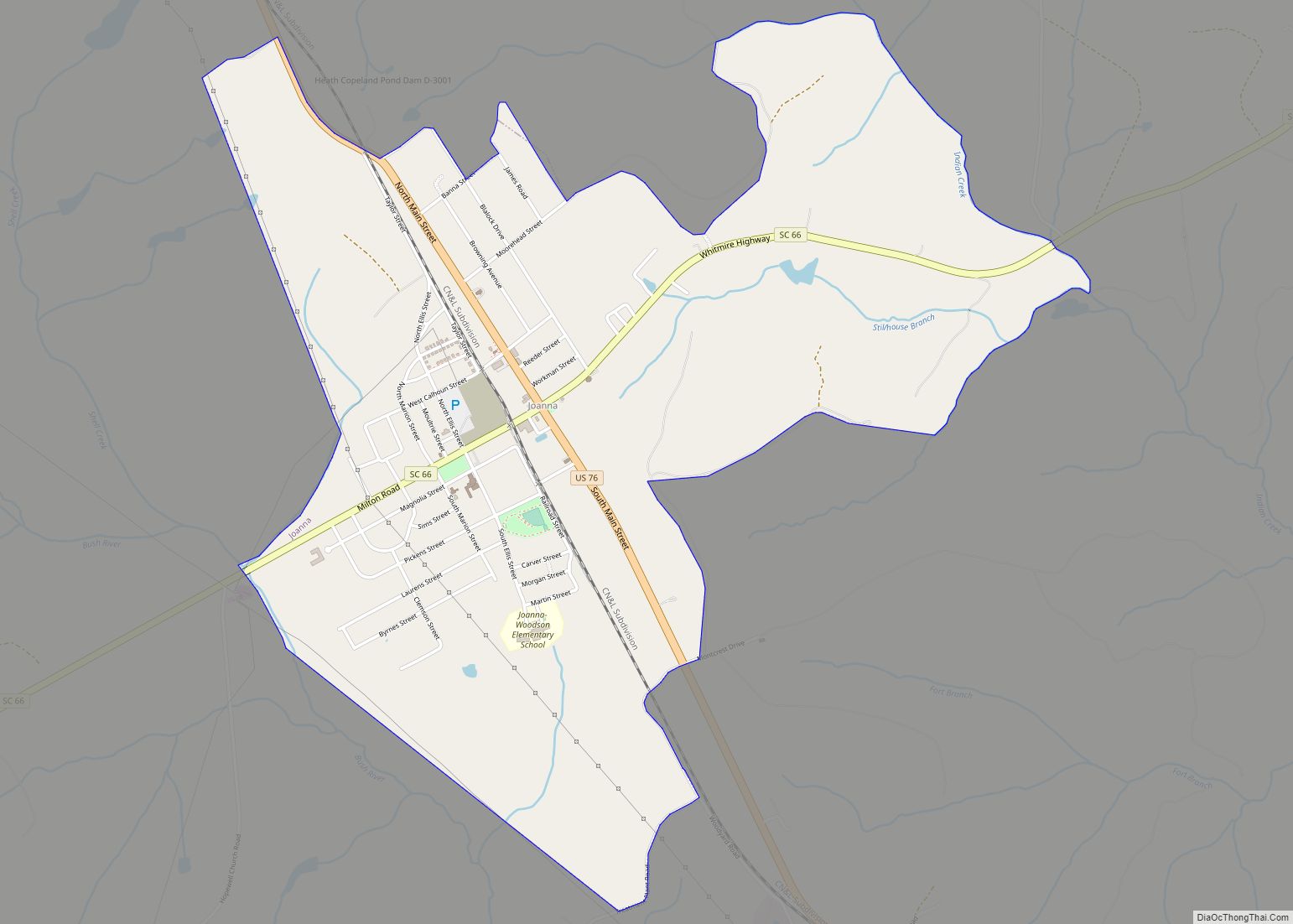
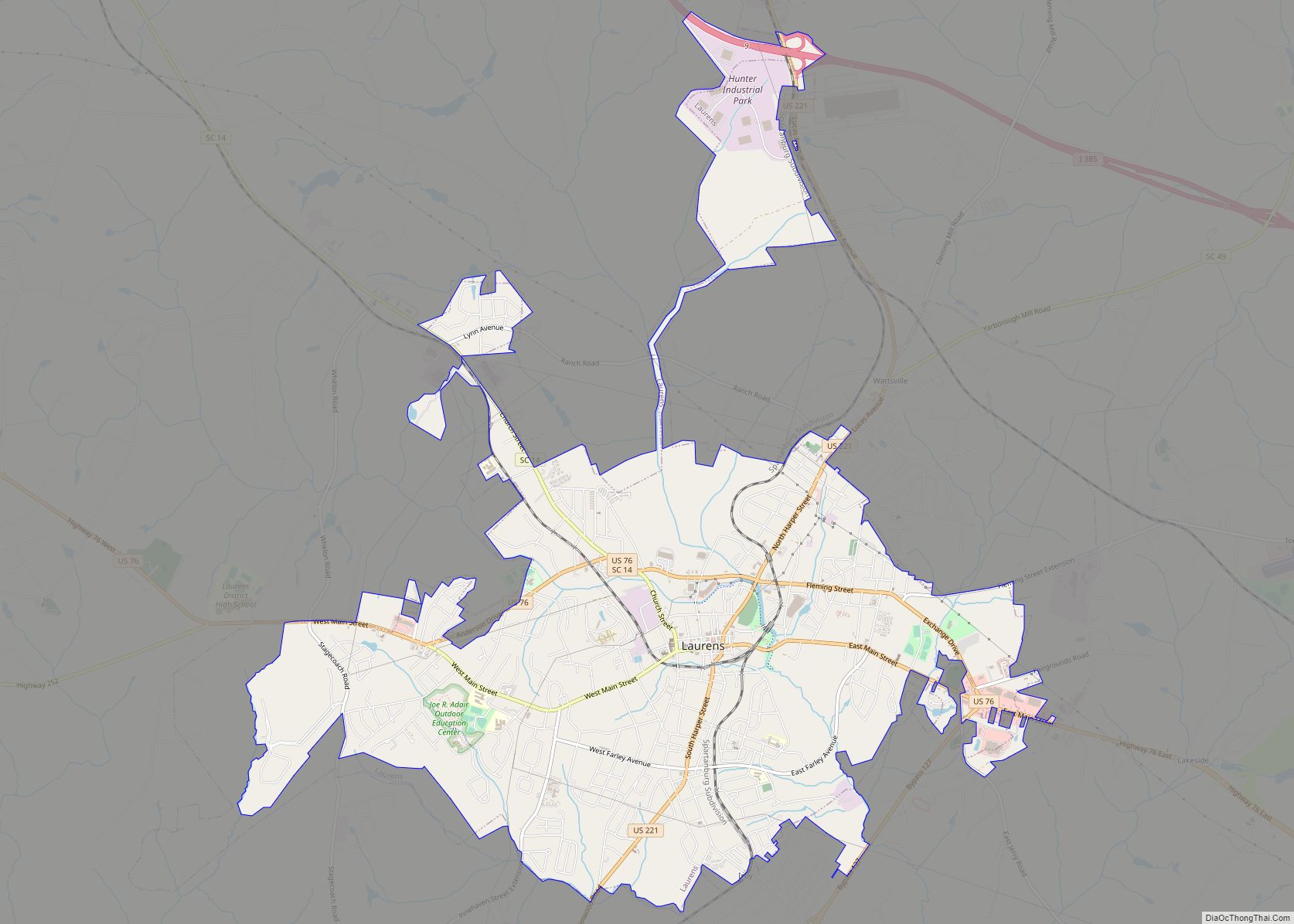
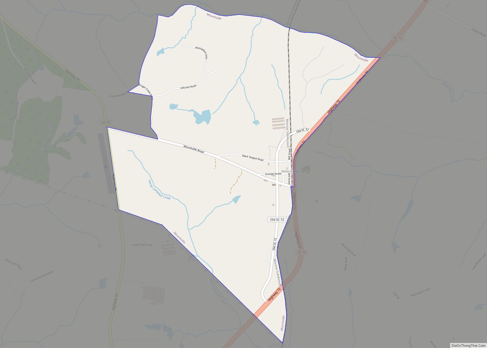
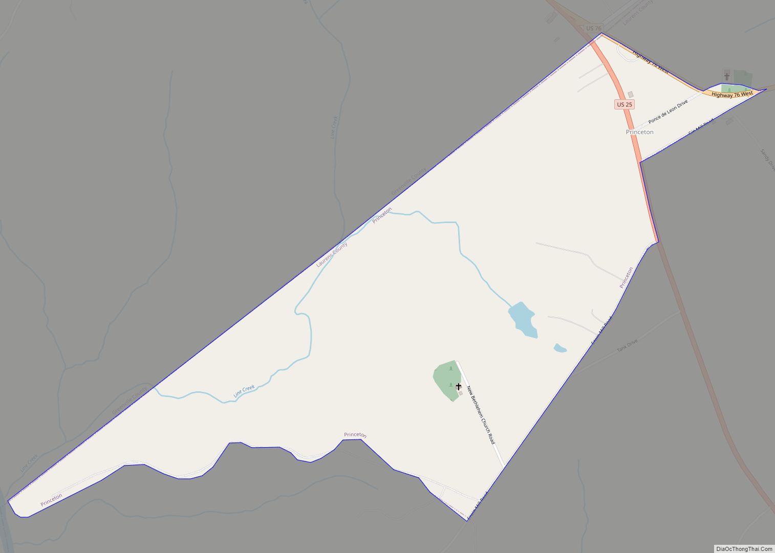
Online Interactive Map
Click on ![]() to view map in "full screen" mode.
to view map in "full screen" mode.
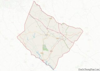
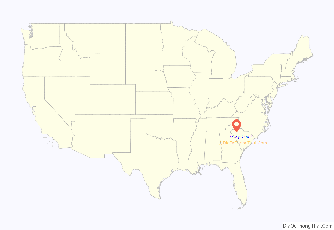
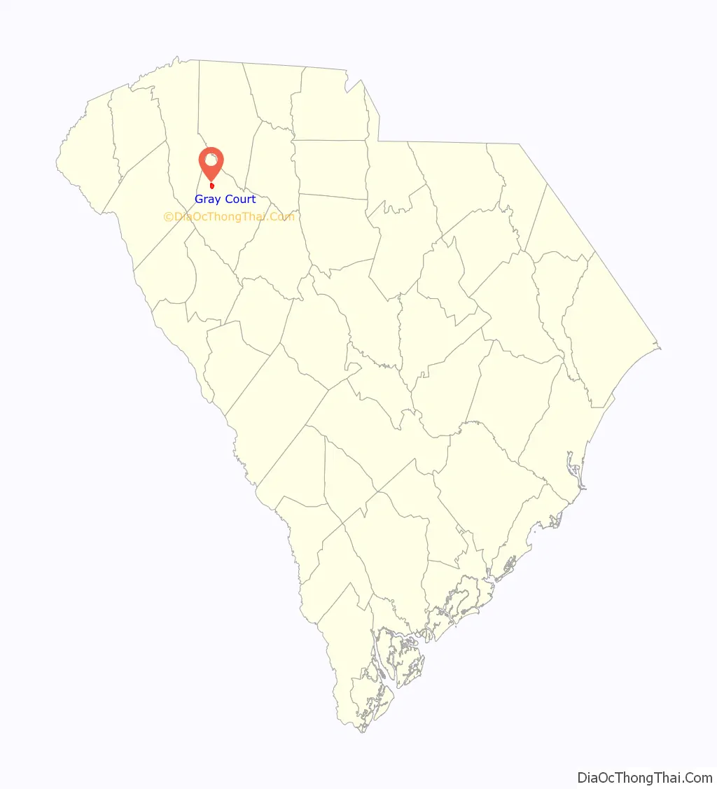
Gray Court location map. Where is Gray Court town?
History
Gray Court was incorporated as a town in 1899.
The Gray Court-Owings School was listed on the National Register of Historic Places in 2004.
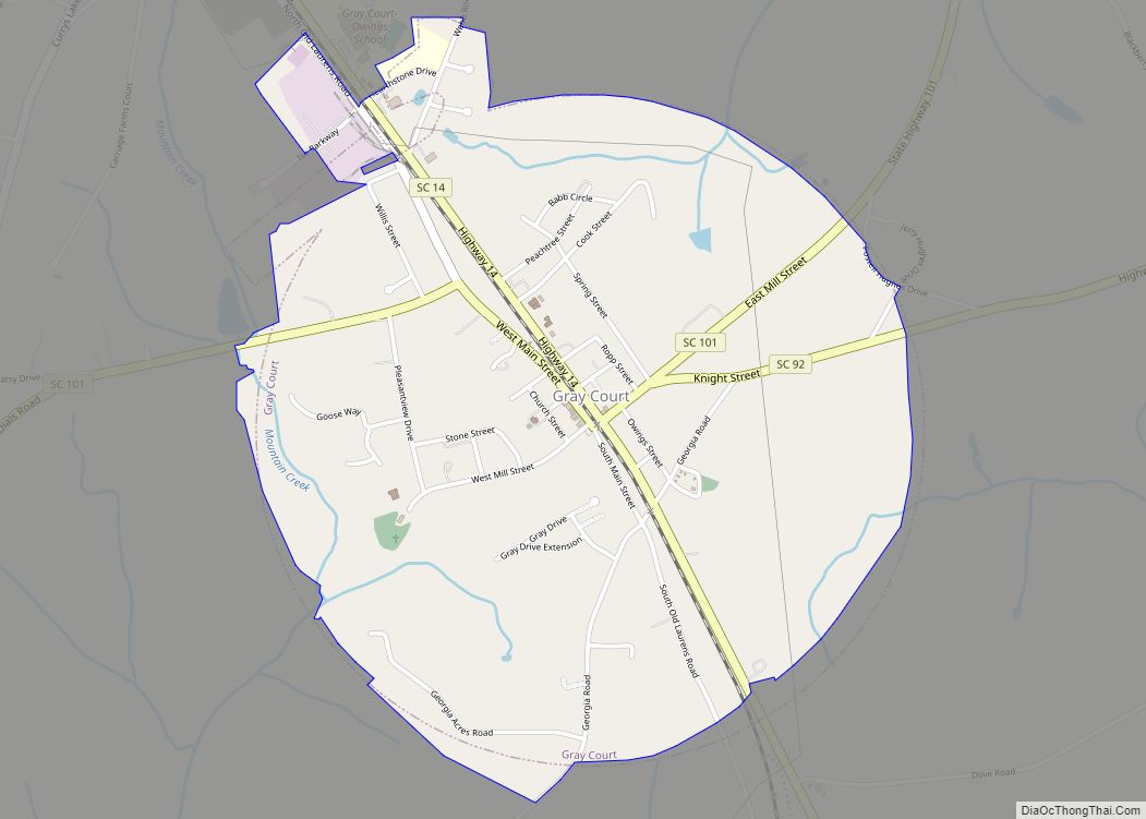
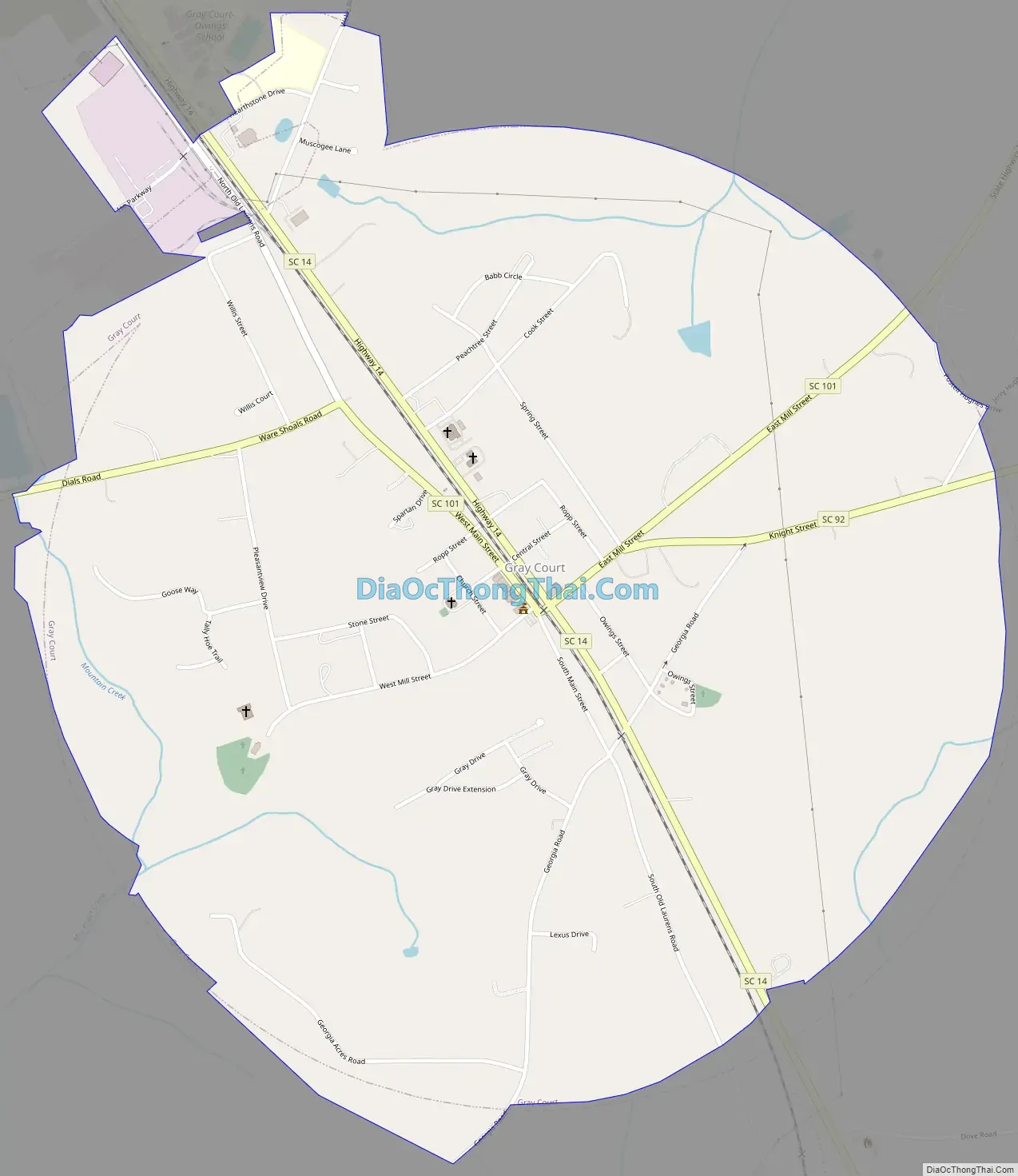
Gray Court Road Map
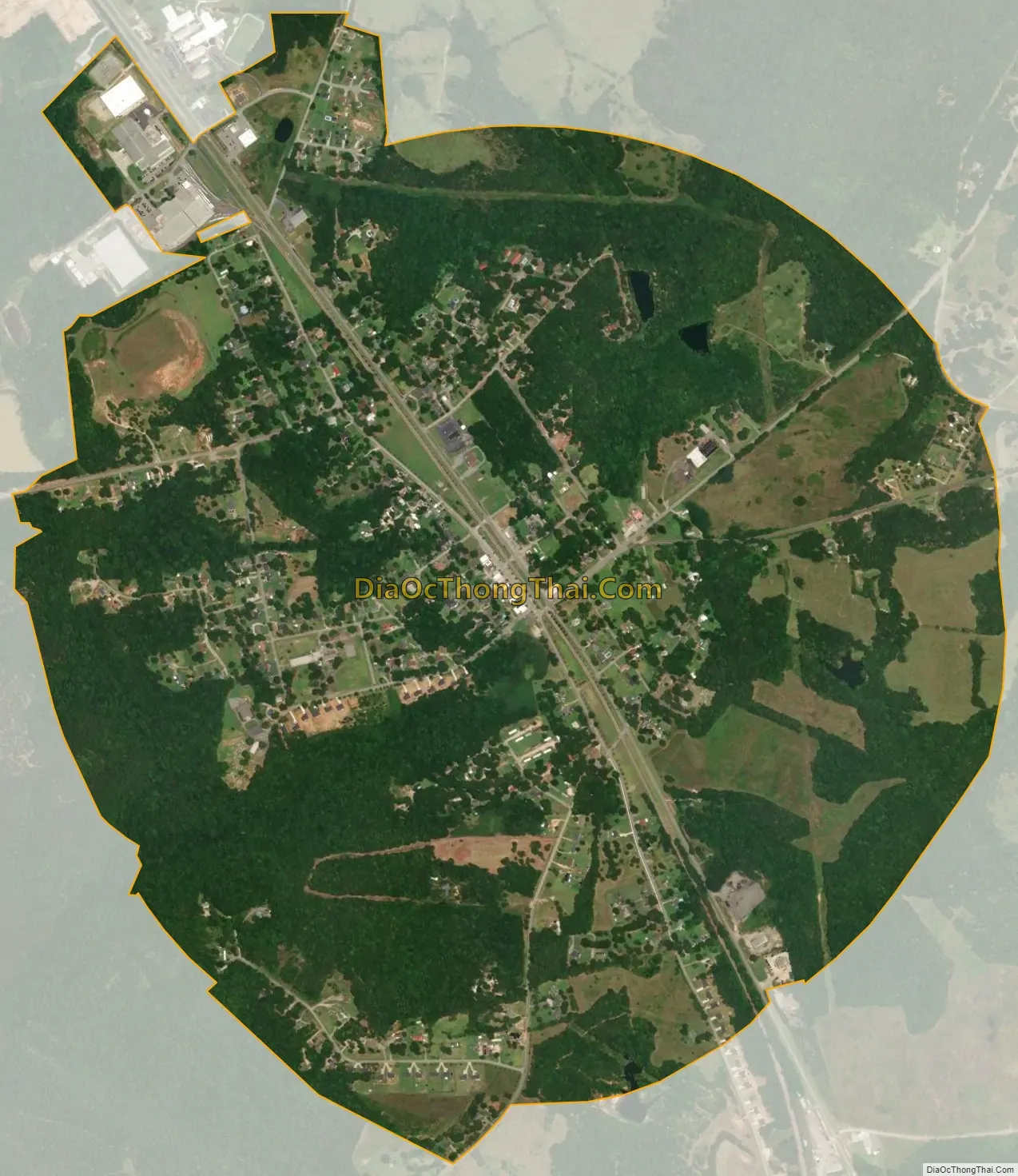
Gray Court city Satellite Map
Geography
Gray Court is located at 34°36′31″N 82°6′51″W / 34.60861°N 82.11417°W / 34.60861; -82.11417 (34.608563, -82.114189). The town lies between the cities of Fountain Inn and Laurens, South Carolina along highway 14 and 385. Its closest neighbor is the village of Owings, which lies about one mile to the north.
According to the United States Census Bureau, the town has a total area of 1.9 square miles (4.9 km), all land.
See also
Map of South Carolina State and its subdivision:- Abbeville
- Aiken
- Allendale
- Anderson
- Bamberg
- Barnwell
- Beaufort
- Berkeley
- Calhoun
- Charleston
- Cherokee
- Chester
- Chesterfield
- Clarendon
- Colleton
- Darlington
- Dillon
- Dorchester
- Edgefield
- Fairfield
- Florence
- Georgetown
- Greenville
- Greenwood
- Hampton
- Horry
- Jasper
- Kershaw
- Lancaster
- Laurens
- Lee
- Lexington
- Marion
- Marlboro
- McCormick
- Newberry
- Oconee
- Orangeburg
- Pickens
- Richland
- Saluda
- Spartanburg
- Sumter
- Union
- Williamsburg
- York
- Alabama
- Alaska
- Arizona
- Arkansas
- California
- Colorado
- Connecticut
- Delaware
- District of Columbia
- Florida
- Georgia
- Hawaii
- Idaho
- Illinois
- Indiana
- Iowa
- Kansas
- Kentucky
- Louisiana
- Maine
- Maryland
- Massachusetts
- Michigan
- Minnesota
- Mississippi
- Missouri
- Montana
- Nebraska
- Nevada
- New Hampshire
- New Jersey
- New Mexico
- New York
- North Carolina
- North Dakota
- Ohio
- Oklahoma
- Oregon
- Pennsylvania
- Rhode Island
- South Carolina
- South Dakota
- Tennessee
- Texas
- Utah
- Vermont
- Virginia
- Washington
- West Virginia
- Wisconsin
- Wyoming