Pendleton is a town in Anderson County, South Carolina, United States. The population was 3,489 at the 2020 census. It is a sister city of Stornoway in the Outer Hebrides of Scotland.
The Pendleton Historic District, consisting of the town and its immediate surroundings, was added to the National Register of Historic Places in 1970. Particularly notable historic buildings on the Pendleton town square include Farmer’s Hall and Hunter’s Store, which is currently the headquarters of the Pendleton District Historical, Recreational and Tourism Commission. Near Pendleton are the historic plantation homes Ashtabula and Woodburn.
| Name: | Pendleton town |
|---|---|
| LSAD Code: | 43 |
| LSAD Description: | town (suffix) |
| State: | South Carolina |
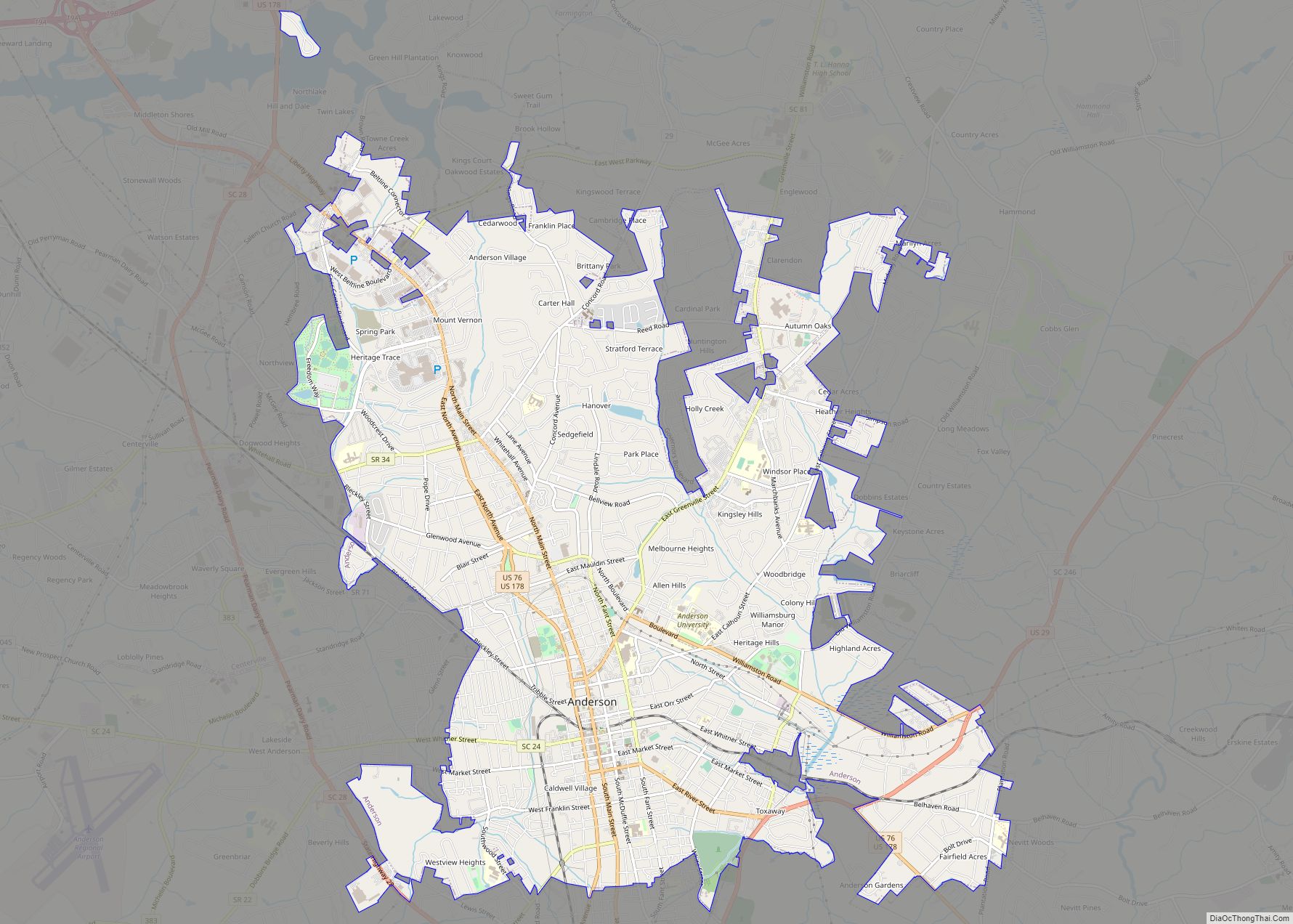
| County: | Anderson County |
| Elevation: | 850 ft (260 m) |
| Total Area: | 4.85 sq mi (12.57 km²) |
| Land Area: | 4.83 sq mi (12.50 km²) |
| Water Area: | 0.03 sq mi (0.07 km²) |
| Total Population: | 3,489 |
| Population Density: | 722.81/sq mi (279.05/km²) |
| ZIP code: | 29670 |
| Area code: | 864 |
| FIPS code: | 4555645 |
| GNISfeature ID: | 1225357 |
| Website: | www.townofpendleton.org |
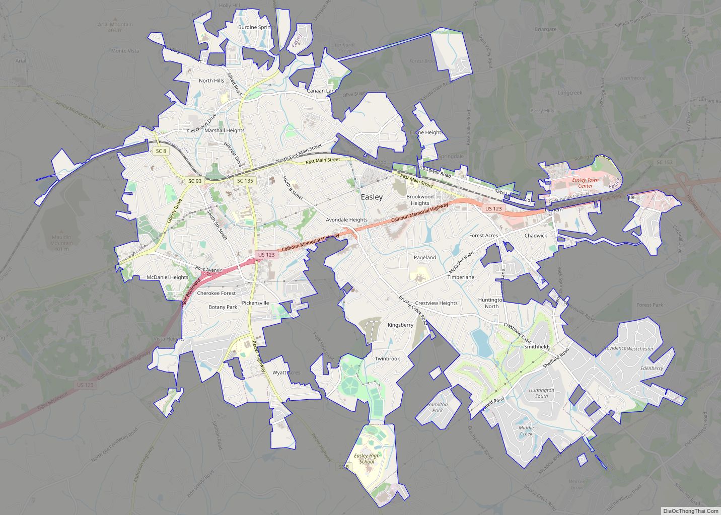
Online Interactive Map
Click on ![]() to view map in "full screen" mode.
to view map in "full screen" mode.
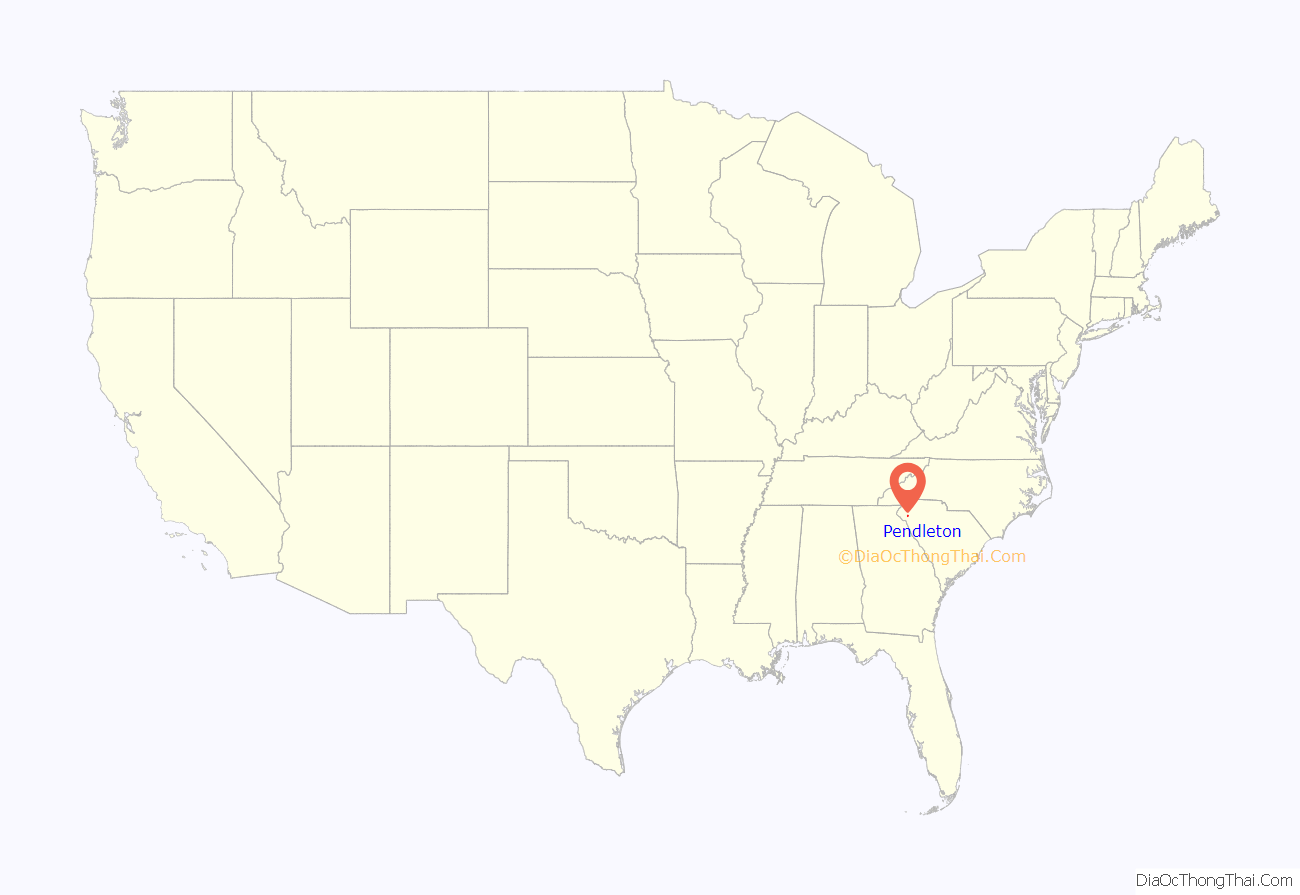
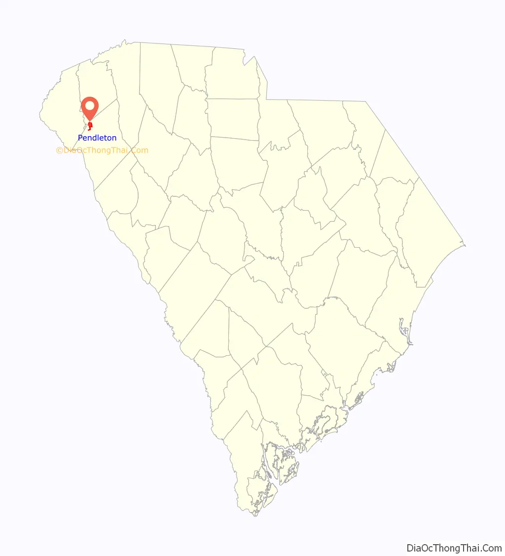
Pendleton location map. Where is Pendleton town?
History
For centuries, the land that is now Pendleton was the territory of the Cherokee nation. After England claimed South Carolina as a colony, the Cherokee traded with the British. After the Cherokee lost the war of 1759–60 against the British, the British dominated trade in the region and began to settle more of the land with large farms. Andrew Pickens, who was a general in the Revolutionary War moved to the area and commissioned the District of Pendleton in 1790. During the first half of the 1800s, wealthy families built homes in Pendleton. These homes were built as a summer vacation spot for the low-country plantation owners. Charles Cotesworth Pinckney (1789–1865) built Woodburn Plantation in 1830. Later, the Adger family, a wealthy family from Charleston, expanded the plantation to over 1,000 acres (400 ha) and enlarged the house to over 18 rooms.
The Ashtabula, Boone-Douthit House, Faith Cabin Library at Anderson County Training School, Pendleton Historic District, and Woodburn are listed on the National Register of Historic Places.
Pendleton Road Map
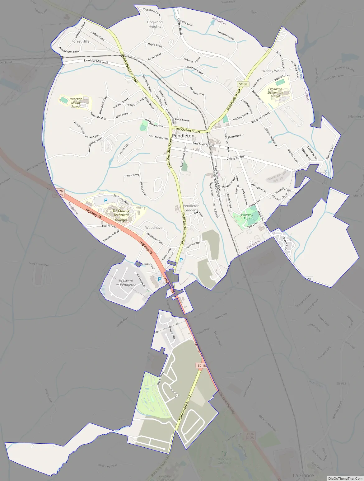
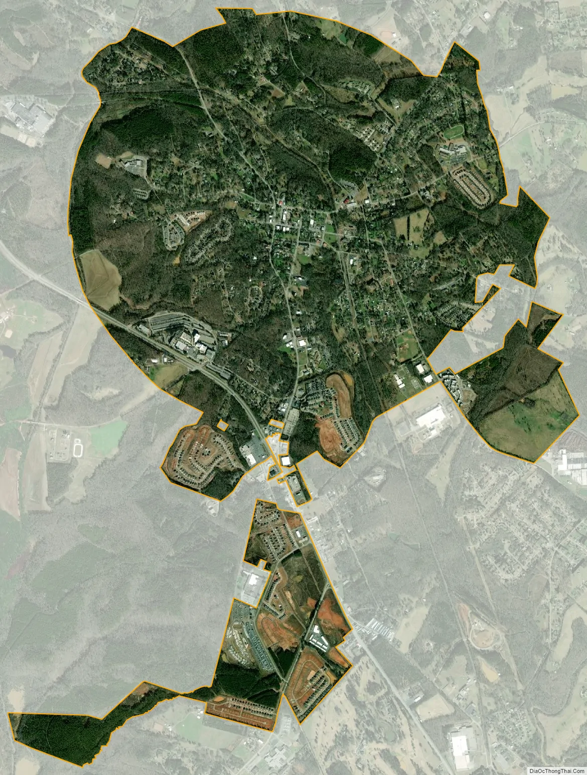
Pendleton city Satellite Map
Geography
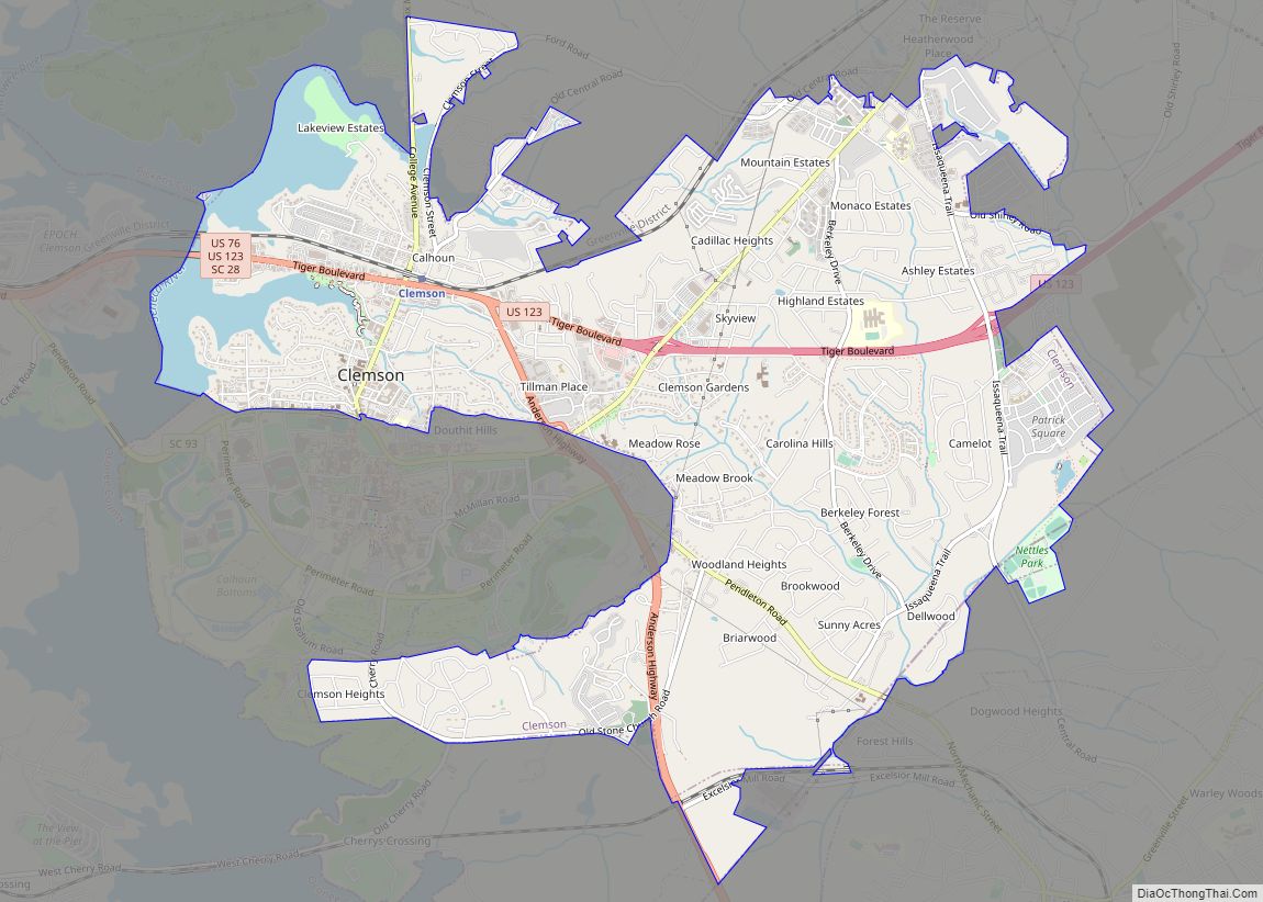
Pendleton is located in northwestern Anderson County at 34°39′2″N 82°46′51″W / 34.65056°N 82.78083°W / 34.65056; -82.78083 (34.650672, -82.780736). Its northwestern edge touches the Anderson County/Pickens County line and borders the city of Clemson. U.S. Route 76 passes through the southwest part of town, bypassing the town center and leading northwest to Clemson and southeast 14 miles (23 km) to Anderson, the county seat. Greenville is 30 miles (48 km) to the northeast by U.S. Route 123.
According to the United States Census Bureau, the town has a total area of 3.8 square miles (9.9 km), of which 3.8 square miles (9.8 km) is land and 0.04 square miles (0.1 km), or 0.70%, is water.
See also
Map of South Carolina State and its subdivision:- Abbeville
- Aiken
- Allendale
- Anderson
- Bamberg
- Barnwell
- Beaufort
- Berkeley
- Calhoun
- Charleston
- Cherokee
- Chester
- Chesterfield
- Clarendon
- Colleton
- Darlington
- Dillon
- Dorchester
- Edgefield
- Fairfield
- Florence
- Georgetown
- Greenville
- Greenwood
- Hampton
- Horry
- Jasper
- Kershaw
- Lancaster
- Laurens
- Lee
- Lexington
- Marion
- Marlboro
- McCormick
- Newberry
- Oconee
- Orangeburg
- Pickens
- Richland
- Saluda
- Spartanburg
- Sumter
- Union
- Williamsburg
- York
- Alabama
- Alaska
- Arizona
- Arkansas
- California
- Colorado
- Connecticut
- Delaware
- District of Columbia
- Florida
- Georgia
- Hawaii
- Idaho
- Illinois
- Indiana
- Iowa
- Kansas
- Kentucky
- Louisiana
- Maine
- Maryland
- Massachusetts
- Michigan
- Minnesota
- Mississippi
- Missouri
- Montana
- Nebraska
- Nevada
- New Hampshire
- New Jersey
- New Mexico
- New York
- North Carolina
- North Dakota
- Ohio
- Oklahoma
- Oregon
- Pennsylvania
- Rhode Island
- South Carolina
- South Dakota
- Tennessee
- Texas
- Utah
- Vermont
- Virginia
- Washington
- West Virginia
- Wisconsin
- Wyoming