Powdersville is a census-designated place (CDP) in Anderson County, South Carolina, United States. The population was 7,618 at the 2010 census, up from 5,362 in 2000. Powdersville was initially a farming community until the increase in housing subdivisions and businesses along Highway 153.
| Name: | Powdersville CDP |
|---|---|
| LSAD Code: | 57 |
| LSAD Description: | CDP (suffix) |
| State: | South Carolina |
| County: | Anderson County |
| Elevation: | 968 ft (295 m) |
| Total Area: | 13.88 sq mi (35.94 km²) |
| Land Area: | 13.76 sq mi (35.63 km²) |
| Water Area: | 0.12 sq mi (0.30 km²) |
| Total Population: | 10,025 |
| Population Density: | 728.67/sq mi (281.34/km²) |
| FIPS code: | 4558170 |
| GNISfeature ID: | 1250233 |
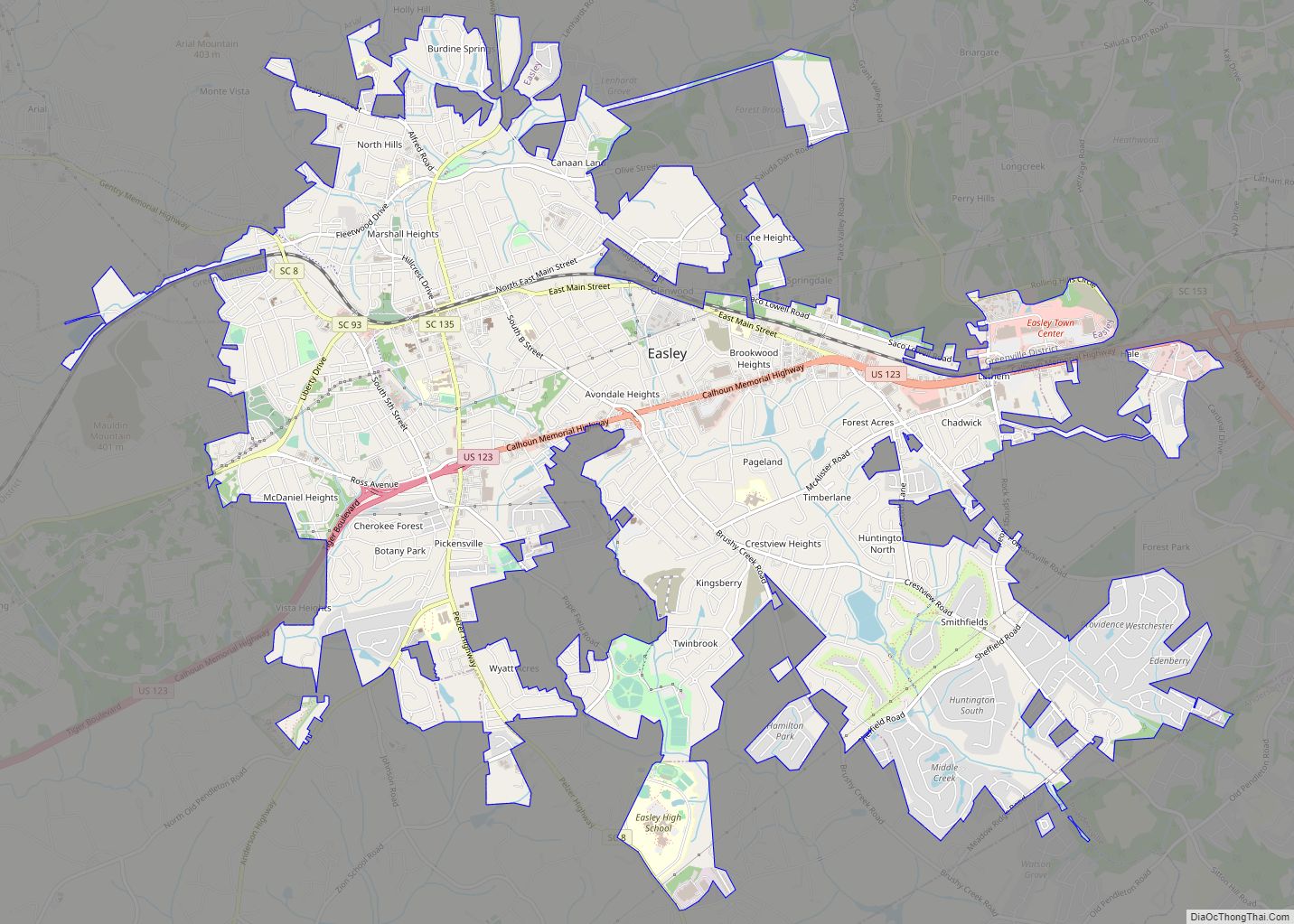
Online Interactive Map
Click on ![]() to view map in "full screen" mode.
to view map in "full screen" mode.
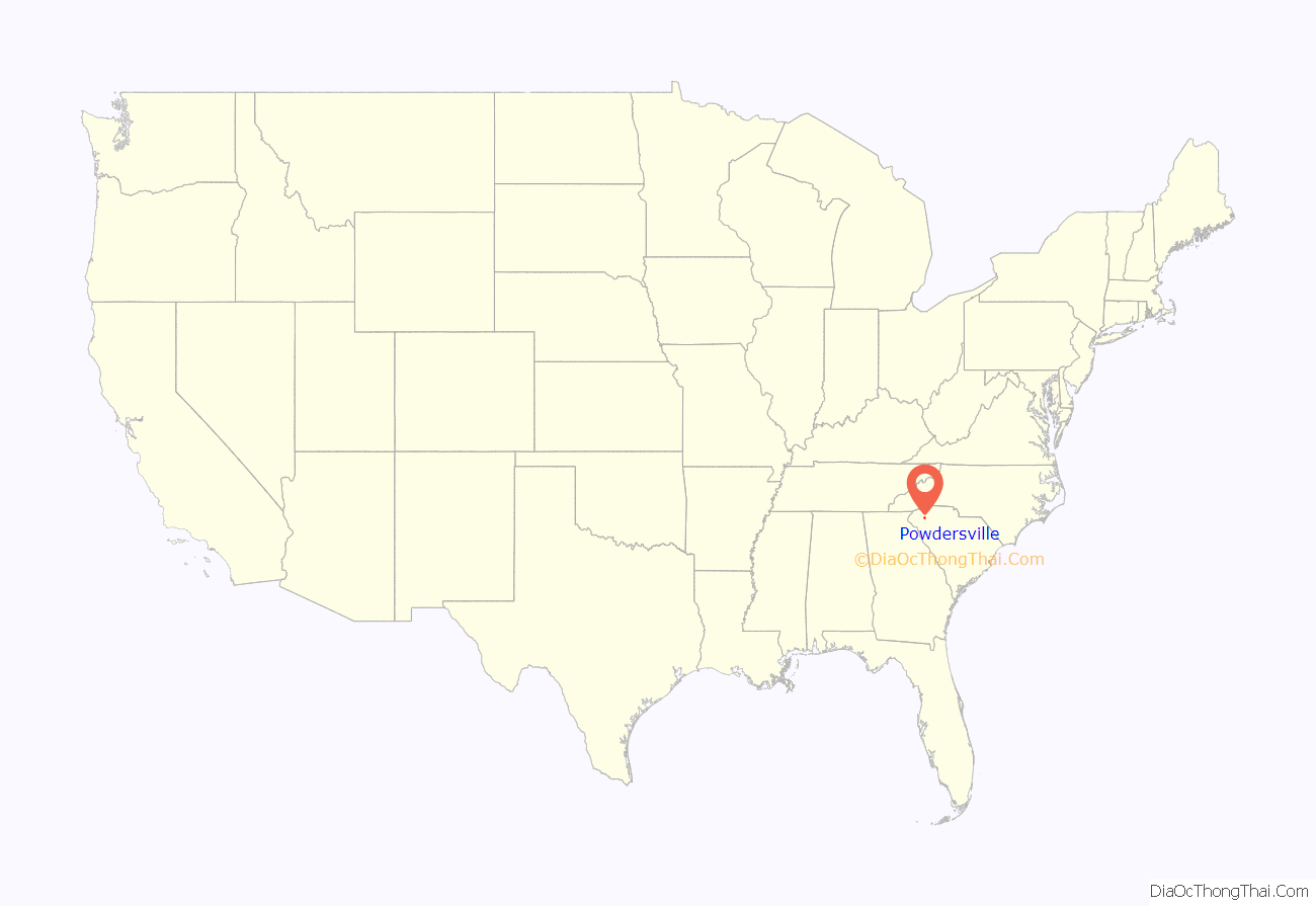
Powdersville location map. Where is Powdersville CDP?
History
The name Powders comes from the production and trade of gunpowder in the area. One of the first stores in present-day Powdersville was called the Powdersville Area General Store. In 1859 a powder mill was established in present-day Powdersville by John Bowen. During the American Civil War the area was used to store gunpowder but Columbia was the primary site for the production of the state’s powder. Due to the area’s use of gunpowder the name Powders became a fixture for the location. The Saluda Valley-Powdersville Water Company was created in 1971 to serve drinking water to around 1,200 customers. In 1992 the name changed to Powdersville Water Company and in 2001 the name changed again to Powdersville Water District. The first high school in Powdersville was established in 2011 as Powdersville High School.
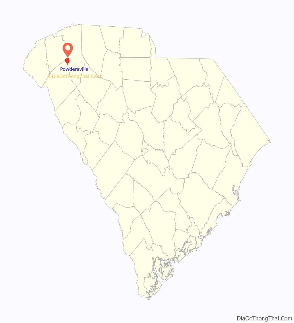
Powdersville Road Map
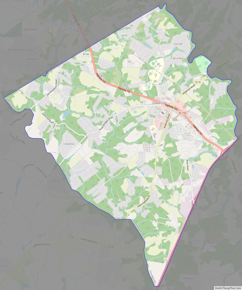
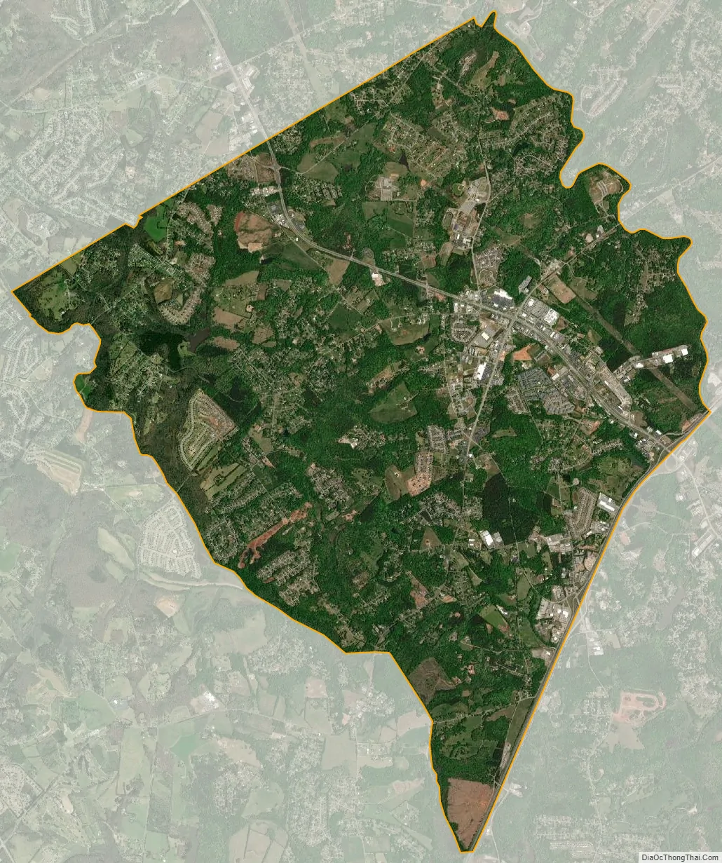
Powdersville city Satellite Map
Geography
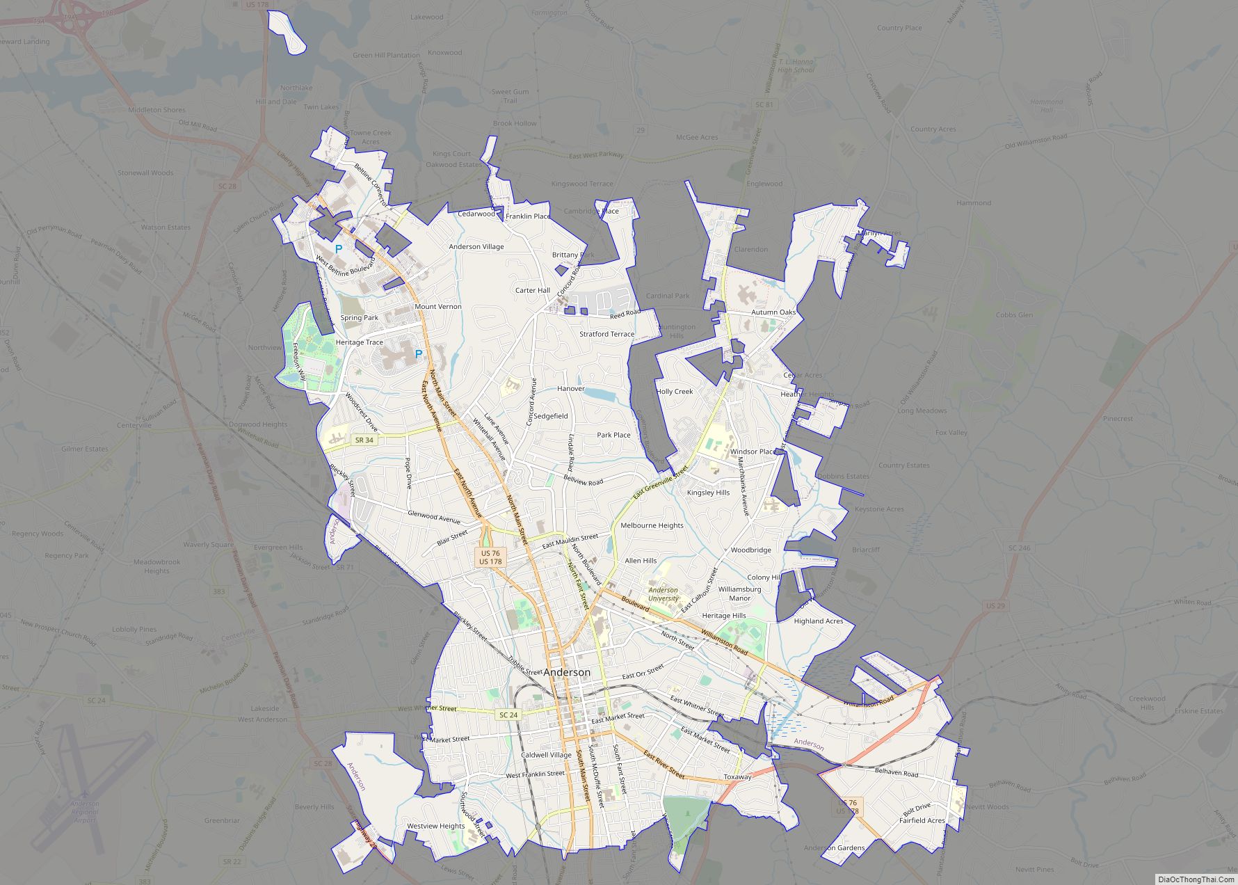
Powdersville is located in the northern corner of Anderson County at 34°46′57″N 82°29′32″W / 34.78250°N 82.49222°W / 34.78250; -82.49222 (34.782620, -82.492138). Its northwest border is the Pickens County line, and its northeast border is the Saluda River, which forms the Greenville County line. The southeast border of the CDP is formed by Interstate 85, a six-lane highway with access to Powdersville via exits 39 and 40. Greenville, the largest city in the region, is 8 miles (13 km) to the northeast.
According to the United States Census Bureau, the CDP has a total area of 14.0 square miles (36.3 km), of which 13.9 square miles (35.9 km) is land and 0.12 square miles (0.3 km), or 0.90%, is water.
See also
Map of South Carolina State and its subdivision:- Abbeville
- Aiken
- Allendale
- Anderson
- Bamberg
- Barnwell
- Beaufort
- Berkeley
- Calhoun
- Charleston
- Cherokee
- Chester
- Chesterfield
- Clarendon
- Colleton
- Darlington
- Dillon
- Dorchester
- Edgefield
- Fairfield
- Florence
- Georgetown
- Greenville
- Greenwood
- Hampton
- Horry
- Jasper
- Kershaw
- Lancaster
- Laurens
- Lee
- Lexington
- Marion
- Marlboro
- McCormick
- Newberry
- Oconee
- Orangeburg
- Pickens
- Richland
- Saluda
- Spartanburg
- Sumter
- Union
- Williamsburg
- York
- Alabama
- Alaska
- Arizona
- Arkansas
- California
- Colorado
- Connecticut
- Delaware
- District of Columbia
- Florida
- Georgia
- Hawaii
- Idaho
- Illinois
- Indiana
- Iowa
- Kansas
- Kentucky
- Louisiana
- Maine
- Maryland
- Massachusetts
- Michigan
- Minnesota
- Mississippi
- Missouri
- Montana
- Nebraska
- Nevada
- New Hampshire
- New Jersey
- New Mexico
- New York
- North Carolina
- North Dakota
- Ohio
- Oklahoma
- Oregon
- Pennsylvania
- Rhode Island
- South Carolina
- South Dakota
- Tennessee
- Texas
- Utah
- Vermont
- Virginia
- Washington
- West Virginia
- Wisconsin
- Wyoming