Slater-Marietta is a census-designated place (CDP) in Greenville County, South Carolina, United States, along the North Saluda River. At the 2000 census, there were 2228 people. At the 2010 census, there were 2176. At the 2020 census, there were 1873. It is part of the Greenville–Mauldin–Easley Metropolitan Statistical Area.
| Name: | Slater-Marietta CDP |
|---|---|
| LSAD Code: | 57 |
| LSAD Description: | CDP (suffix) |
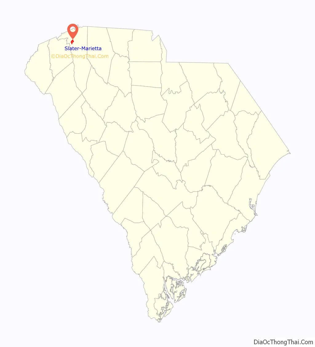
| State: | South Carolina |
| County: | Greenville County |
| Elevation: | 1,030 ft (310 m) |
| Total Area: | 4.31 sq mi (11.17 km²) |
| Land Area: | 4.31 sq mi (11.16 km²) |
| Water Area: | 0.01 sq mi (0.02 km²) |
| Total Population: | 2,087 |
| Population Density: | 484.45/sq mi (187.03/km²) |
| Area code: | 864 |
| FIPS code: | 4566917 |
| GNISfeature ID: | 2402860 |
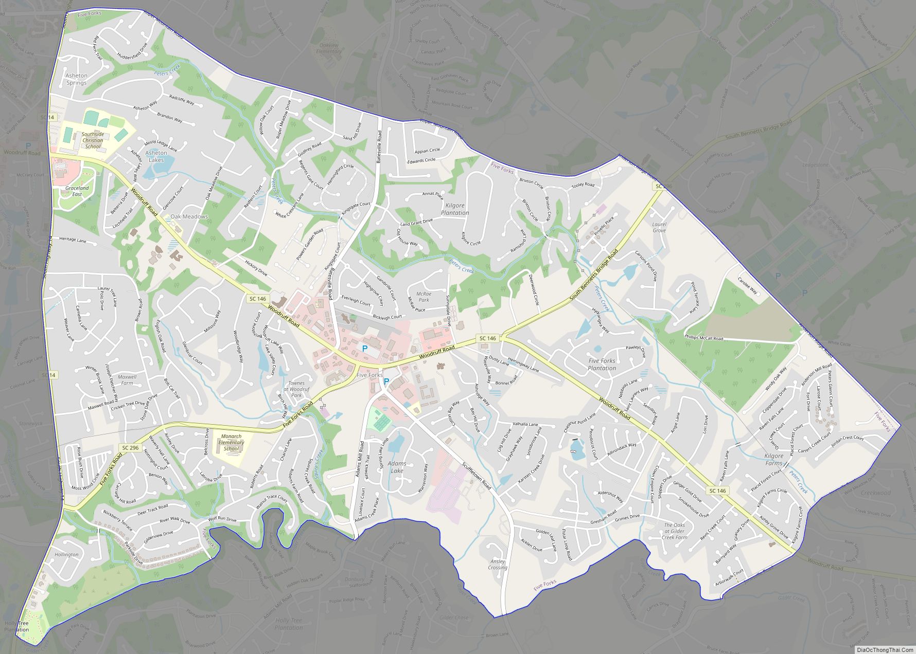
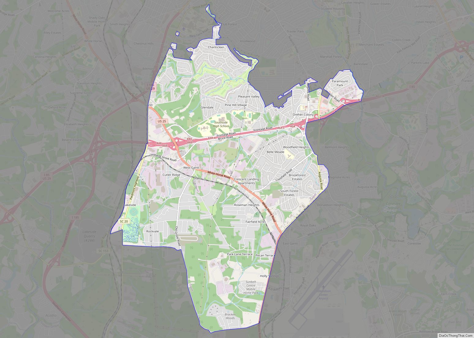
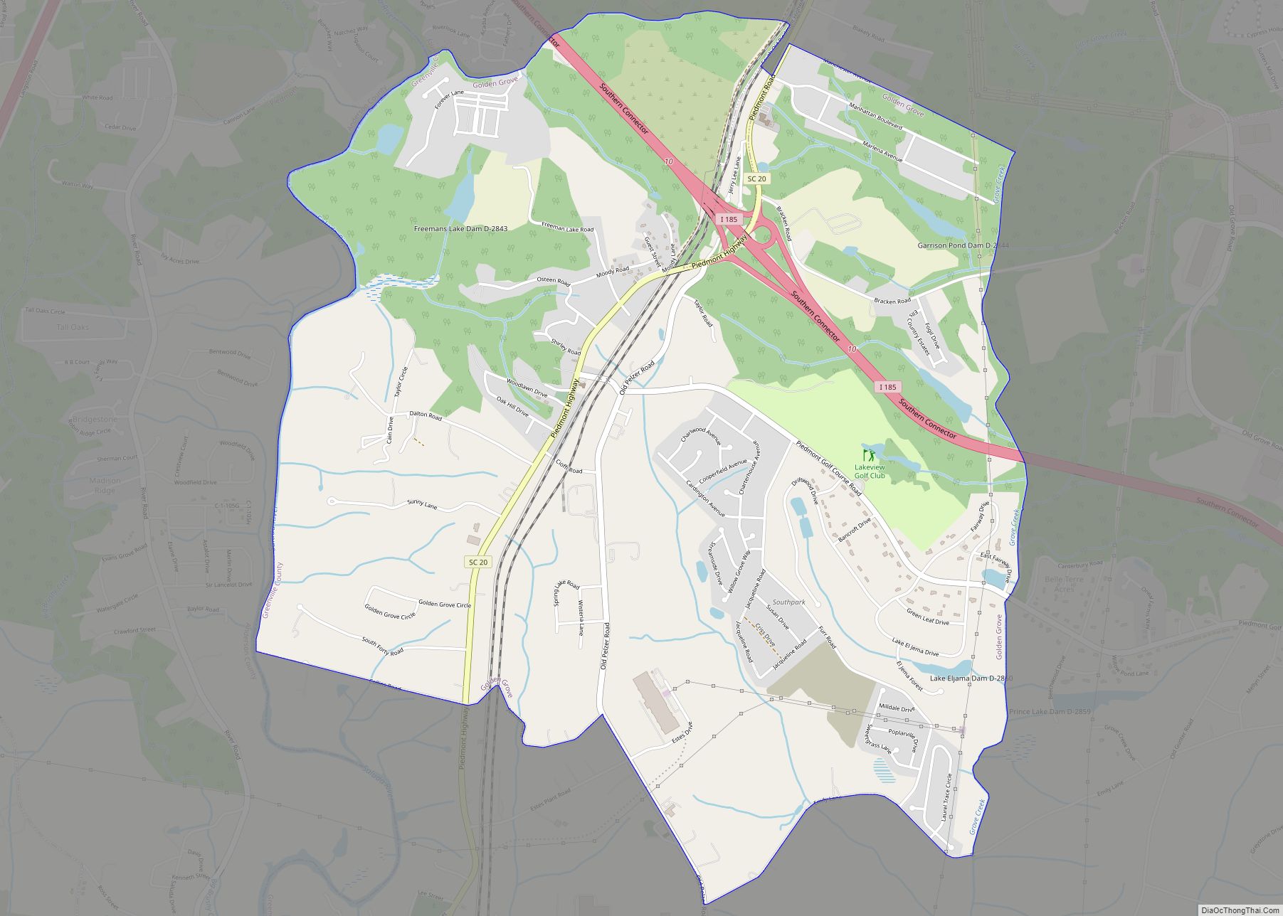
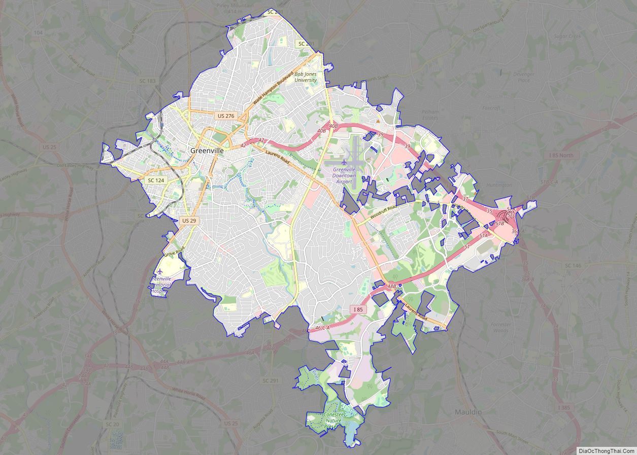
Online Interactive Map
Click on ![]() to view map in "full screen" mode.
to view map in "full screen" mode.
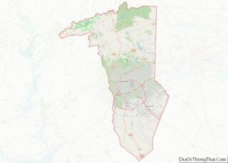
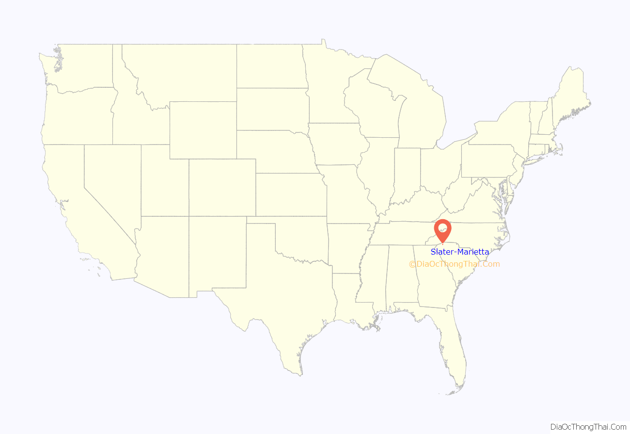
Slater-Marietta location map. Where is Slater-Marietta CDP?
History
J. Harvey Cleveland, born in 1815, invested in land in northern Greenville County, including a 300-acre (1.2-million m) tract along the North Saluda River which he bought from his father-in-law about 1840. Cleveland expanded the simple home on the property and made it his family home. He also plotted a nearby settlement, named “Marietta” after his wife, Mary Louisa Williams.
Though in an otherwise favorable location, the resulting village was slow to grow, possibly because the only direct access to the area was via the dangerous Jones Gap Road. The CK&W rail line that became nicknamed the Swamp Rabbit was laid past Marietta in the late 1880s. In the 1920s, the Geer Highway was built through the area, a new reservoir provided water, and electricity was eventually provided by Duke Power.
In 1927, the Slater family announced they would build a 30,000-square-foot (2,800 m) mill nearby and a Slater village around it, on land bought from Cleveland family members. The Slaters had started Slater Mill, the first textile mill in America, in Rhode Island in 1790, and built the village of Slatersville in 1803 and then other mills in Massachusetts before moving their operations to South Carolina. The new Slater Mill opened in 1928, was very successful, and overwhelmed the two communities, which became referred to as Slater-Marietta.
In 1934, H. Nelson Slater, the mill founder, built Slater Hall, a community center for Slater village. In 1946, the Slaters sold their mill to J.P. Stevens & Company, and the J.P. Stevens’ Slater Plant went on to produce the main material for the space suits used on the first moon landing in 1969 and space shuttle components as well. In 2016, JPS Composite Materials owned the mill, which was mainly producing fiber glass, and sold it to B&W Fiber Glass.
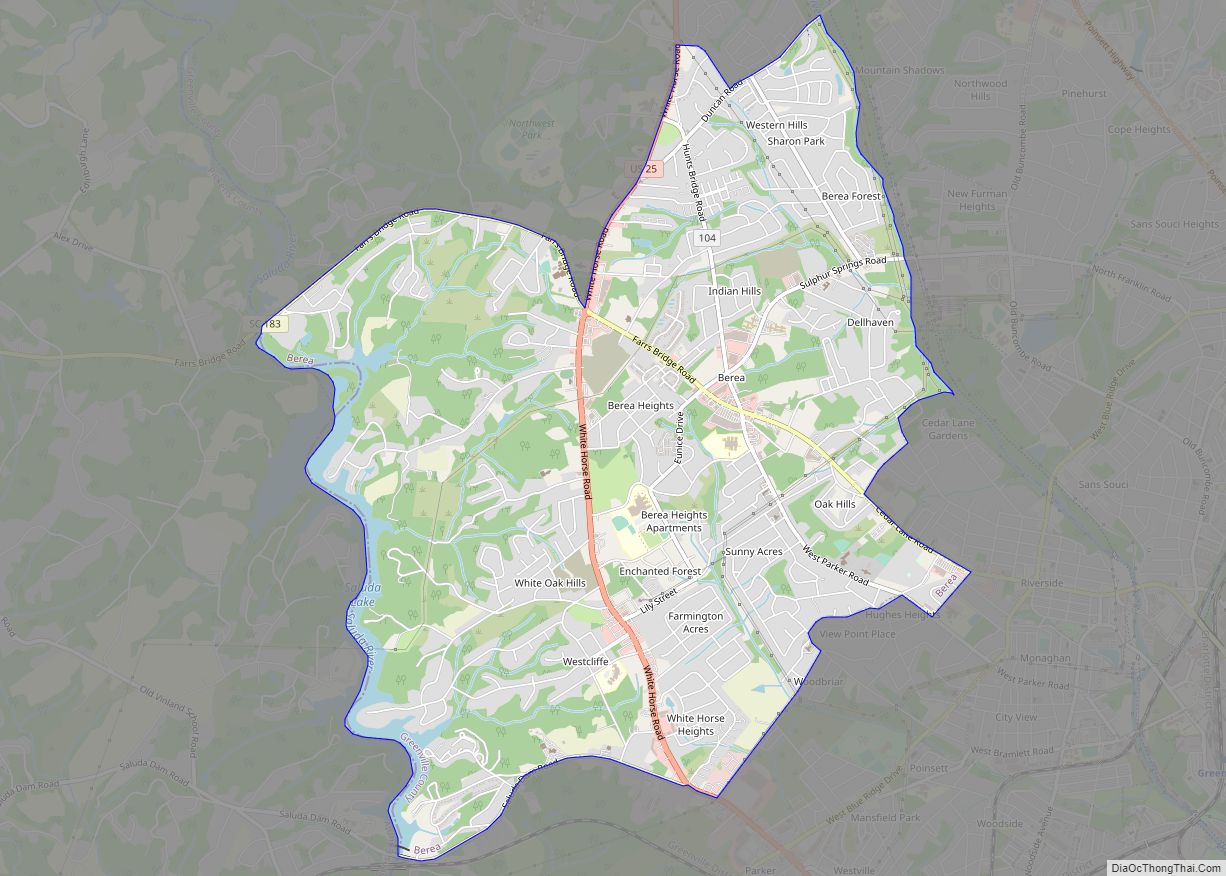
Slater-Marietta Road Map
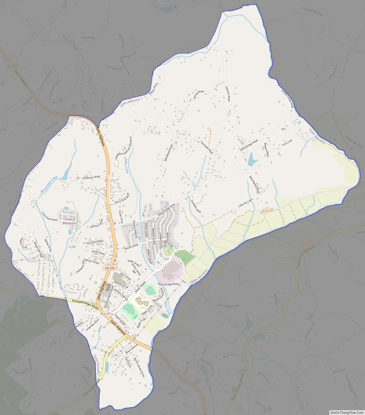
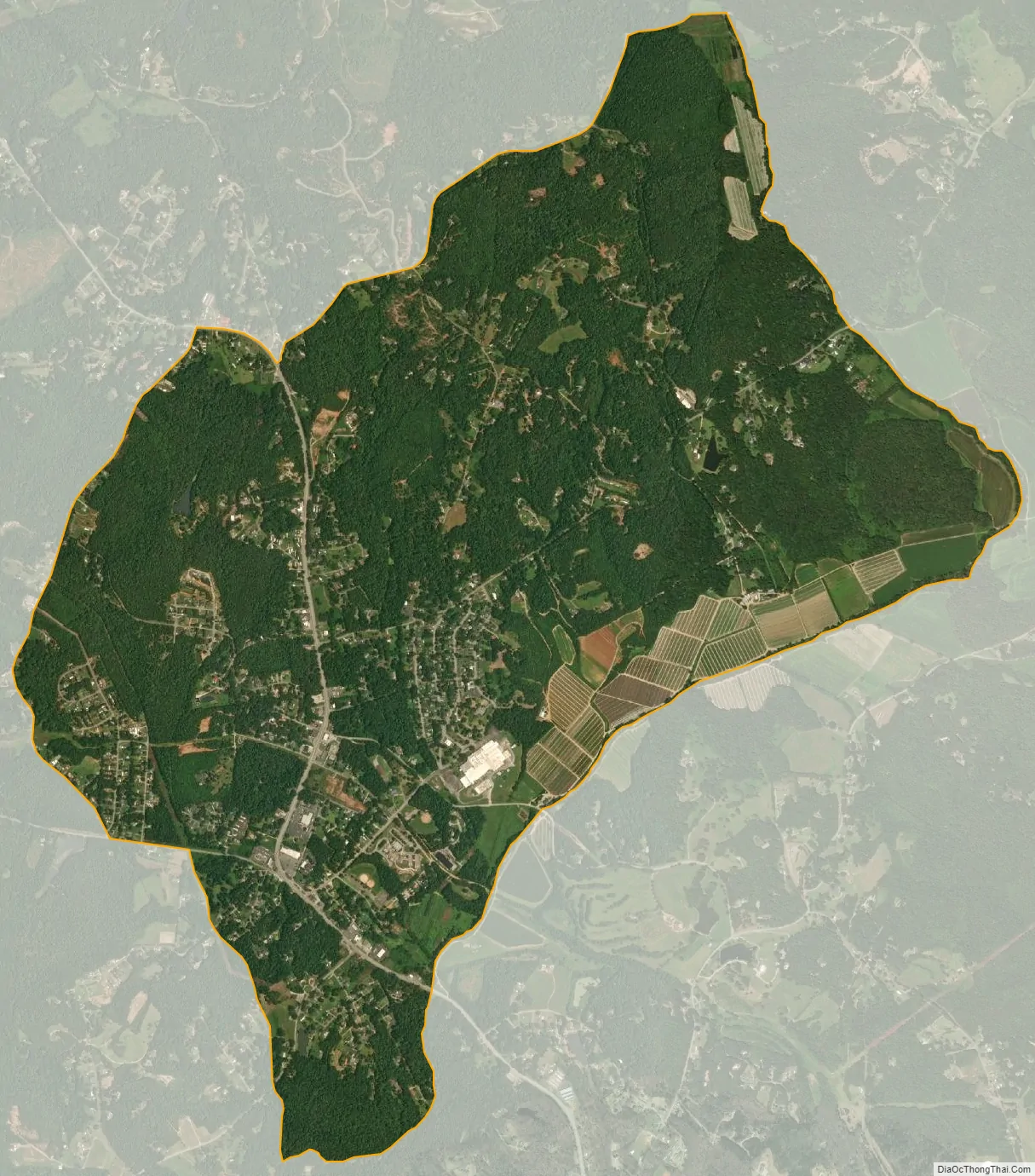
Slater-Marietta city Satellite Map
Geography
Marietta is located in northern Greenville County at 35°1′45″N 82°29′51″W / 35.02917°N 82.49750°W / 35.02917; -82.49750 (35.029244, -82.497410). The CDP consists of two adjoining communities, both unincorporated: Slater and Marietta. Each community has its own post office and ZIP Code. U.S. Route 276 passes through Marietta, while Slater is directly to the east. US 276 leads south 15 miles (24 km) to Greenville and northwest 19 miles (31 km) to the North Carolina border at the crest of the Blue Ridge Mountains. South Carolina Highway 288 leads west from Marietta 9 miles (14 km) to Pumpkintown.
According to the United States Census Bureau, the CDP has a total area of 4.3 square miles (11.2 km), of which 0.01 square miles (0.02 km), or 0.14%, are water.
See also
Map of South Carolina State and its subdivision:- Abbeville
- Aiken
- Allendale
- Anderson
- Bamberg
- Barnwell
- Beaufort
- Berkeley
- Calhoun
- Charleston
- Cherokee
- Chester
- Chesterfield
- Clarendon
- Colleton
- Darlington
- Dillon
- Dorchester
- Edgefield
- Fairfield
- Florence
- Georgetown
- Greenville
- Greenwood
- Hampton
- Horry
- Jasper
- Kershaw
- Lancaster
- Laurens
- Lee
- Lexington
- Marion
- Marlboro
- McCormick
- Newberry
- Oconee
- Orangeburg
- Pickens
- Richland
- Saluda
- Spartanburg
- Sumter
- Union
- Williamsburg
- York
- Alabama
- Alaska
- Arizona
- Arkansas
- California
- Colorado
- Connecticut
- Delaware
- District of Columbia
- Florida
- Georgia
- Hawaii
- Idaho
- Illinois
- Indiana
- Iowa
- Kansas
- Kentucky
- Louisiana
- Maine
- Maryland
- Massachusetts
- Michigan
- Minnesota
- Mississippi
- Missouri
- Montana
- Nebraska
- Nevada
- New Hampshire
- New Jersey
- New Mexico
- New York
- North Carolina
- North Dakota
- Ohio
- Oklahoma
- Oregon
- Pennsylvania
- Rhode Island
- South Carolina
- South Dakota
- Tennessee
- Texas
- Utah
- Vermont
- Virginia
- Washington
- West Virginia
- Wisconsin
- Wyoming