Swansea is a town in Lexington County, South Carolina, United States. The population was 827 at the 2010 census. It is part of the Columbia, South Carolina Metropolitan Statistical Area.
| Name: | Swansea town |
|---|---|
| LSAD Code: | 43 |
| LSAD Description: | town (suffix) |
| State: | South Carolina |
| County: | Lexington County |
| Elevation: | 358 ft (109 m) |
| Total Area: | 2.14 sq mi (5.54 km²) |
| Land Area: | 2.09 sq mi (5.40 km²) |
| Water Area: | 0.05 sq mi (0.14 km²) |
| Total Population: | 722 |
| Population Density: | 345.95/sq mi (133.60/km²) |
| ZIP code: | 29160 |
| Area code: | 803, 839 |
| FIPS code: | 4570675 |
| GNISfeature ID: | 1231848 |
| Website: | www.swanseatown.net |
Online Interactive Map
Click on ![]() to view map in "full screen" mode.
to view map in "full screen" mode.
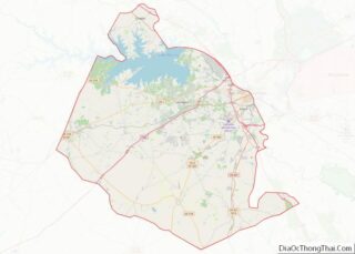
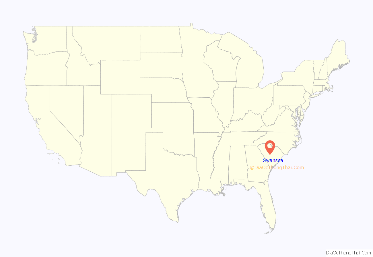
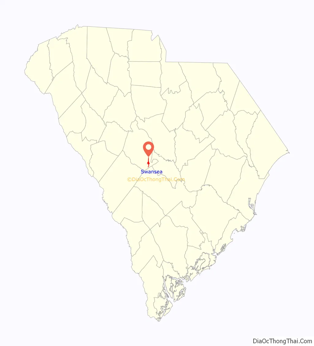
Swansea location map. Where is Swansea town?
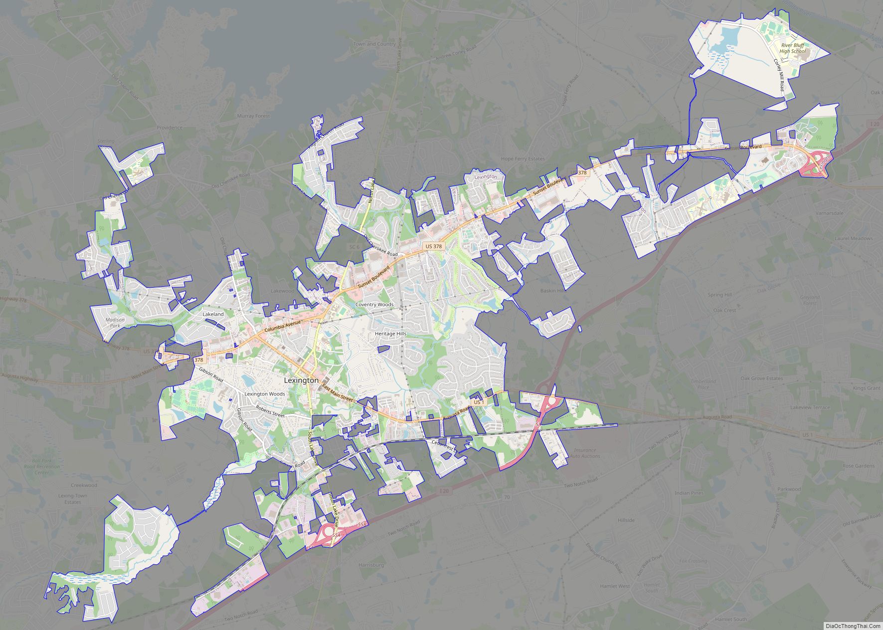
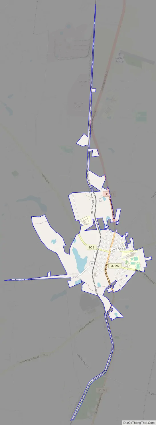
Swansea Road Map
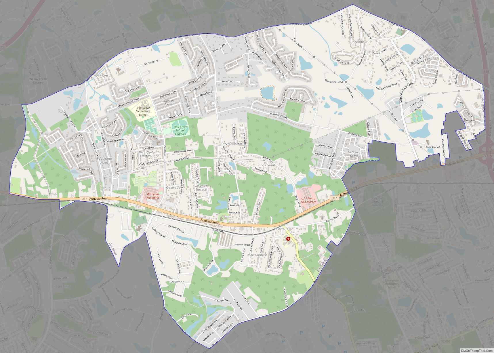
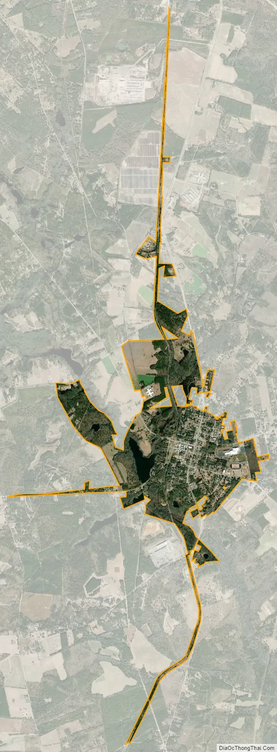
Swansea city Satellite Map
Geography
Swansea is located at 33°44′14″N 81°06′08″W / 33.737090°N 81.102244°W / 33.737090; -81.102244. According to the United States Census Bureau, the town has a total area of 1.2 square miles (3.1 km), of which 1.1 square miles (2.9 km) is land and 0.1 square mile (0.1 km) (4.20%) is water. Two streams that flow through Swansea are Fourth Creek and Bull Swamp Creek (with neighboring communities Gaston and North).
See also
Map of South Carolina State and its subdivision:- Abbeville
- Aiken
- Allendale
- Anderson
- Bamberg
- Barnwell
- Beaufort
- Berkeley
- Calhoun
- Charleston
- Cherokee
- Chester
- Chesterfield
- Clarendon
- Colleton
- Darlington
- Dillon
- Dorchester
- Edgefield
- Fairfield
- Florence
- Georgetown
- Greenville
- Greenwood
- Hampton
- Horry
- Jasper
- Kershaw
- Lancaster
- Laurens
- Lee
- Lexington
- Marion
- Marlboro
- McCormick
- Newberry
- Oconee
- Orangeburg
- Pickens
- Richland
- Saluda
- Spartanburg
- Sumter
- Union
- Williamsburg
- York
- Alabama
- Alaska
- Arizona
- Arkansas
- California
- Colorado
- Connecticut
- Delaware
- District of Columbia
- Florida
- Georgia
- Hawaii
- Idaho
- Illinois
- Indiana
- Iowa
- Kansas
- Kentucky
- Louisiana
- Maine
- Maryland
- Massachusetts
- Michigan
- Minnesota
- Mississippi
- Missouri
- Montana
- Nebraska
- Nevada
- New Hampshire
- New Jersey
- New Mexico
- New York
- North Carolina
- North Dakota
- Ohio
- Oklahoma
- Oregon
- Pennsylvania
- Rhode Island
- South Carolina
- South Dakota
- Tennessee
- Texas
- Utah
- Vermont
- Virginia
- Washington
- West Virginia
- Wisconsin
- Wyoming