Martinez (Spanish: Martínez) is a city and the county seat of Contra Costa County, California, United States, in the East Bay region of the San Francisco Bay Area. Located on the southern shore of the Carquinez Strait, the city’s population was 38,290 at the 2020 census. The city is named after Californio ranchero Ygnacio Martínez, having been founded on his Rancho El Pinole. Martinez is known for its historic center and its waterfront.
| Name: | Martinez city |
|---|---|
| LSAD Code: | 25 |
| LSAD Description: | city (suffix) |
| State: | California |
| County: | Contra Costa County |
| Incorporated: | April 1, 1876 |
| Elevation: | 23 ft (7 m) |
| Total Area: | 13.63 sq mi (35.31 km²) |
| Land Area: | 12.63 sq mi (32.71 km²) |
| Water Area: | 1.00 sq mi (2.60 km²) 7.64% |
| Total Population: | 38,290 |
| Population Density: | 2,800/sq mi (1,100/km²) |
| ZIP code: | 94553 |
| FIPS code: | 0646114 |
Online Interactive Map
Click on ![]() to view map in "full screen" mode.
to view map in "full screen" mode.
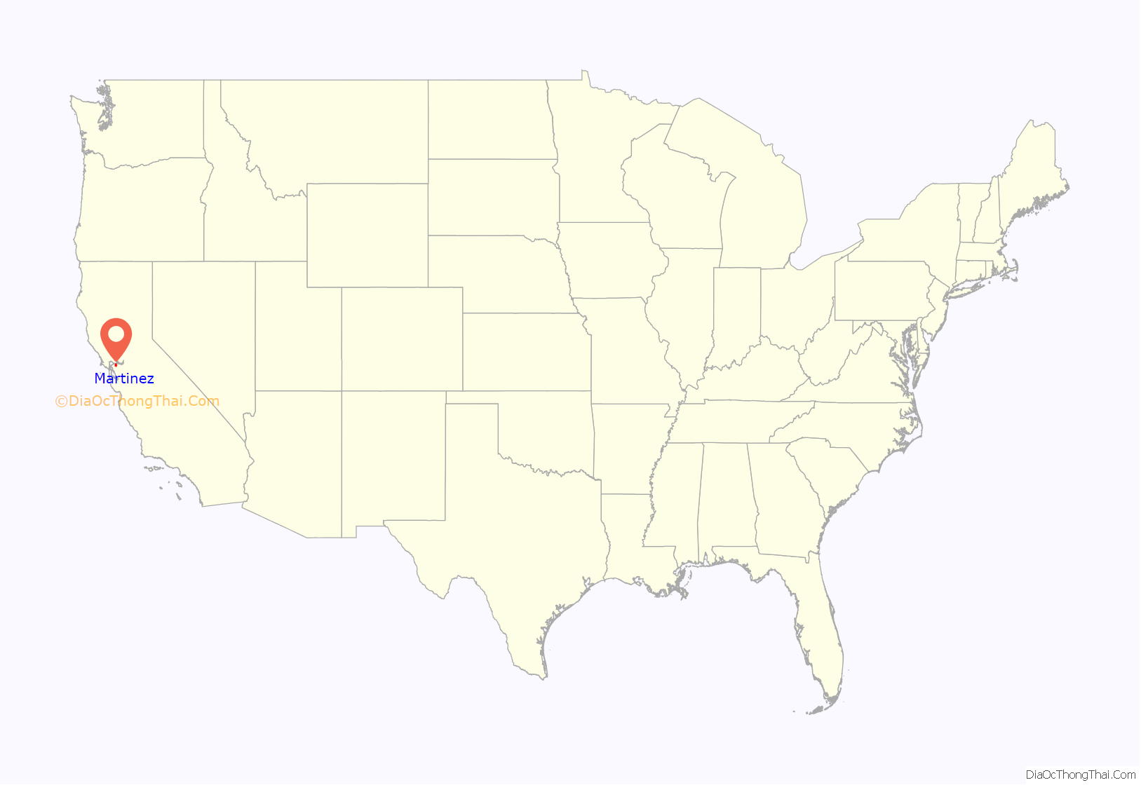
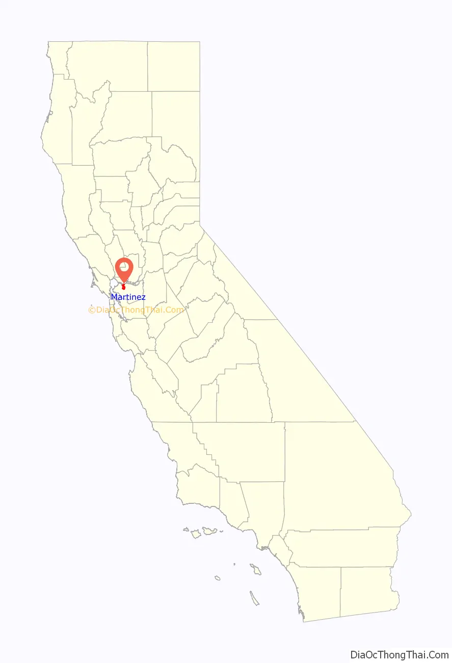
Martinez location map. Where is Martinez city?
History
In 1824, the western side of Martinez, Alhambra Valley was included in the Rancho El Pinole Mexican land grant to Ygnacio Martínez. East of these lands was the Rancho Las Juntas, a grant made to Irish born William Welch in 1844; his land lay between the lands of Martinez and Pacheco.
In 1847, Dr. Robert Semple contracted to provide ferry service from Martinez to Benicia, which for many years was the only crossing on the Carquinez Strait. By 1849, Martínez served as a way station for the California Gold Rush. The town was laid out in 1849 by Col. William M. Smith and named for Martinez. It became the county seat in 1850, but could not incorporate at the time because it lacked the 200 registered voters required, and would not become a city until 1876.
Martinez was the home of naturalist John Muir from 1880 until his death in 1914. He was buried about a mile south of the building that is now the John Muir National Historic Site. Also nearby is the Vicente Martinez Adobe, built in 1849 by the son of Ygnacio Martinez.
The first post office opened in 1851.
In 1860, Martinez played a role in the Pony Express, where riders would take the ferry from Benicia (particularly if they missed the steamer in Sacramento).
The first oil refinery in the Martinez area was built in 1904 at Bull’s Head Point, a then-unincorporated waterfront area two miles east of the downtown district. That area soon became known as Mococo, following the 1905 arrival of a smelting works, operated by the Mountain Copper Company (Mo Co Co).
That first facility, operated by the Bull’s Head Oil Company, was followed in 1908 by a test refinery built by the Pacific Coast Oil Company. Shortly thereafter, Pacific Coast became part of Standard Oil (now Chevron), and consolidated their oil refining operations in the Point Richmond, Hercules, Rodeo waterfront corridor some 12 miles (19 km) to the west of Martinez.
In 1913, the Golden Eagle facility became the third oil refinery to be built in the area. It was located in the newly-created company town of Avon, immediately to the East of Martinez. A fourth refinery, built by the Shell Oil Company on land adjacent to the Martinez City limits, went online in January 1916. The Shell Oil refining facility is still operational today (Currently owned by PBF Energy), maintaining the city’s position as a significant petroleum processing center. The Golden Eagle Refinery (currently owned by Marathon Petroleum Company) was idled in April 2020 as a response to lower petroleum demand during the COVID-19 pandemic.
Folk etymology in Martinez claims the invention of the Martini cocktail and that it is named for the city.
Martinez Road Map

Martinez city Satellite Map

Geography
According to the United States Census Bureau, the city has a total area of 13.1 square miles (34 km), of which 1.0 square mile (2.6 km) (7.64 percent) is covered by water.
The city is largely surrounded by water and regional open-space preserves. The Martinez–Benicia Bridge carries Highway 680 across the eastern end of the Carquinez Strait to Solano County. The city is a densely built downtown valley threaded by Alhambra Creek and north of Highway 4. Suburban areas stretch south of Highway 4 to join the neighboring city of Pleasant Hill. Unincorporated areas include the rural Alhambra Valley and the Franklin Canyon area.
The Martinez Regional Shoreline bounds the city to the north along the Carquinez Strait. Carquinez Strait Regional Shoreline includes the Franklin Hills west of downtown, stretching west to the unincorporated community of Port Costa and the town of Crockett. Briones Regional Park borders the Alhambra Valley to the south. Waterbird Regional Preserve and the McNabney Marsh border the city and Highway 680 to the east. Martinez’s location at the east end of the Carquinez Strait as it widens to Suisun Bay includes dramatic water views stretching to the Sierra range. From surrounding ridge tops views stretch to nearby Mount Diablo, Mount Saint Helena, Mount Tamalpais, and others.
Martinez is one of the only two places in the Bay Area, the other being Golden Gate Bridge, where the Bay Area Ridge Trail and the San Francisco Bay Trail converge. The Bay Trail is a planned recreational corridor that, when complete, will encircle San Francisco and San Pablo bays with a continuous 400-mile (640 km) network of bicycling and hiking trails. It will connect the shoreline of all nine Bay Area counties, link 47 cities, and cross the major toll bridges in the region, including the Benicia–Martinez Bridge. To date, approximately 240 miles (390 km) of the alignment—over half the Bay Trail’s ultimate length—have been completed. The Bay Area Ridge Trail ultimately will be a 500+ mile trail encircling the San Francisco Bay along the ridge tops, open to hikers, equestrians, mountain bicyclists, and outdoor enthusiasts of all types. So far, over 300 miles (480 km) of trail have been dedicated for use. East Bay Regional Park District’s Iron Horse Regional Trail will join the Bay Trail along the waterfront, and the Contra Costa Canal Trail threads through the city from Pleasant Hill to the south.
Climate
Martinez has a mild Mediterranean climate (Köppen climate classification: Csa/b). Summers are warm and dry, with some morning fog during sea breezes. The maritime influence is much less significant than in other parts of the Bay Area that are closer to the Pacific, which causes very high daytime averages compared to San Francisco and Oakland in summer. However, nights normally cool off significantly, which results in daytime highs around 87 °F (31 °C) and nighttime lows of 55 °F (13 °C) during July and August. Winters are wet and cool with occasional frost. The majority of the city is within a USDA hardiness zone of 9b.
See also
Map of California State and its subdivision:- Alameda
- Alpine
- Amador
- Butte
- Calaveras
- Colusa
- Contra Costa
- Del Norte
- El Dorado
- Fresno
- Glenn
- Humboldt
- Imperial
- Inyo
- Kern
- Kings
- Lake
- Lassen
- Los Angeles
- Madera
- Marin
- Mariposa
- Mendocino
- Merced
- Modoc
- Mono
- Monterey
- Napa
- Nevada
- Orange
- Placer
- Plumas
- Riverside
- Sacramento
- San Benito
- San Bernardino
- San Diego
- San Francisco
- San Joaquin
- San Luis Obispo
- San Mateo
- Santa Barbara
- Santa Clara
- Santa Cruz
- Shasta
- Sierra
- Siskiyou
- Solano
- Sonoma
- Stanislaus
- Sutter
- Tehama
- Trinity
- Tulare
- Tuolumne
- Ventura
- Yolo
- Yuba
- Alabama
- Alaska
- Arizona
- Arkansas
- California
- Colorado
- Connecticut
- Delaware
- District of Columbia
- Florida
- Georgia
- Hawaii
- Idaho
- Illinois
- Indiana
- Iowa
- Kansas
- Kentucky
- Louisiana
- Maine
- Maryland
- Massachusetts
- Michigan
- Minnesota
- Mississippi
- Missouri
- Montana
- Nebraska
- Nevada
- New Hampshire
- New Jersey
- New Mexico
- New York
- North Carolina
- North Dakota
- Ohio
- Oklahoma
- Oregon
- Pennsylvania
- Rhode Island
- South Carolina
- South Dakota
- Tennessee
- Texas
- Utah
- Vermont
- Virginia
- Washington
- West Virginia
- Wisconsin
- Wyoming


