Orinda is a city in Contra Costa County, California, United States. The city’s population as of the 2020 census is estimated at 19,514 residents.
| Name: | Orinda city |
|---|---|
| LSAD Code: | 25 |
| LSAD Description: | city (suffix) |
| State: | California |
| County: | Contra Costa County |
| Incorporated: | July 1, 1985 |
| Elevation: | 495 ft (151 m) |
| Total Area: | 12.87 sq mi (33.33 km²) |
| Land Area: | 12.85 sq mi (33.29 km²) |
| Water Area: | 0.02 sq mi (0.04 km²) 0.12% |
| Total Population: | 19,514 |
| Population Density: | 1,500/sq mi (590/km²) |
| ZIP code: | 94563 |
| Area code: | 925 |
| FIPS code: | 0654232 |
| Website: | www.cityoforinda.org |
Online Interactive Map
Click on ![]() to view map in "full screen" mode.
to view map in "full screen" mode.
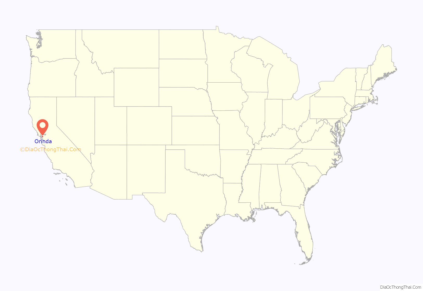
Orinda location map. Where is Orinda city?

History
Orinda is located within four Mexican land grants: Rancho Laguna de los Palos Colorados, Rancho Acalanes, Rancho El Sobrante and Rancho Boca de la Cañada del Pinole. The area was originally rural, mainly known for ranching and summer cabins. The Moraga Adobe was built in 1841, and is the oldest building in the East Bay. In the late 19th century, the land was named by Alice Marsh Cameron, probably in honor of the poet Katherine Philips, who was also known as the “Matchless Orinda”.
In the 1880s, United States Surveyor General for California Theodore Wagner built an estate he named Orinda Park. The Orinda Park post office opened in 1888. The post office’s name was changed to Orinda in 1895. Orinda was also the site of Bryant Station, a stop on the failed California and Nevada Railroad around the turn of the 20th century. Later, the area around Bryant Station was known as Orinda Crossroads.
Orinda’s popularity as a year-round residence grew after the 1937 completion of the Caldecott Tunnel, which provided easier access to the west. Bisected by California State Route 24 and framed by its rolling oak-covered hills, the city of Orinda was incorporated on July 1, 1985. Its first mayor was Richard G. Heggie. The city is served by Orinda station on the Bay Area Rapid Transit (BART) Yellow Line and Route 6 of the County Connection.
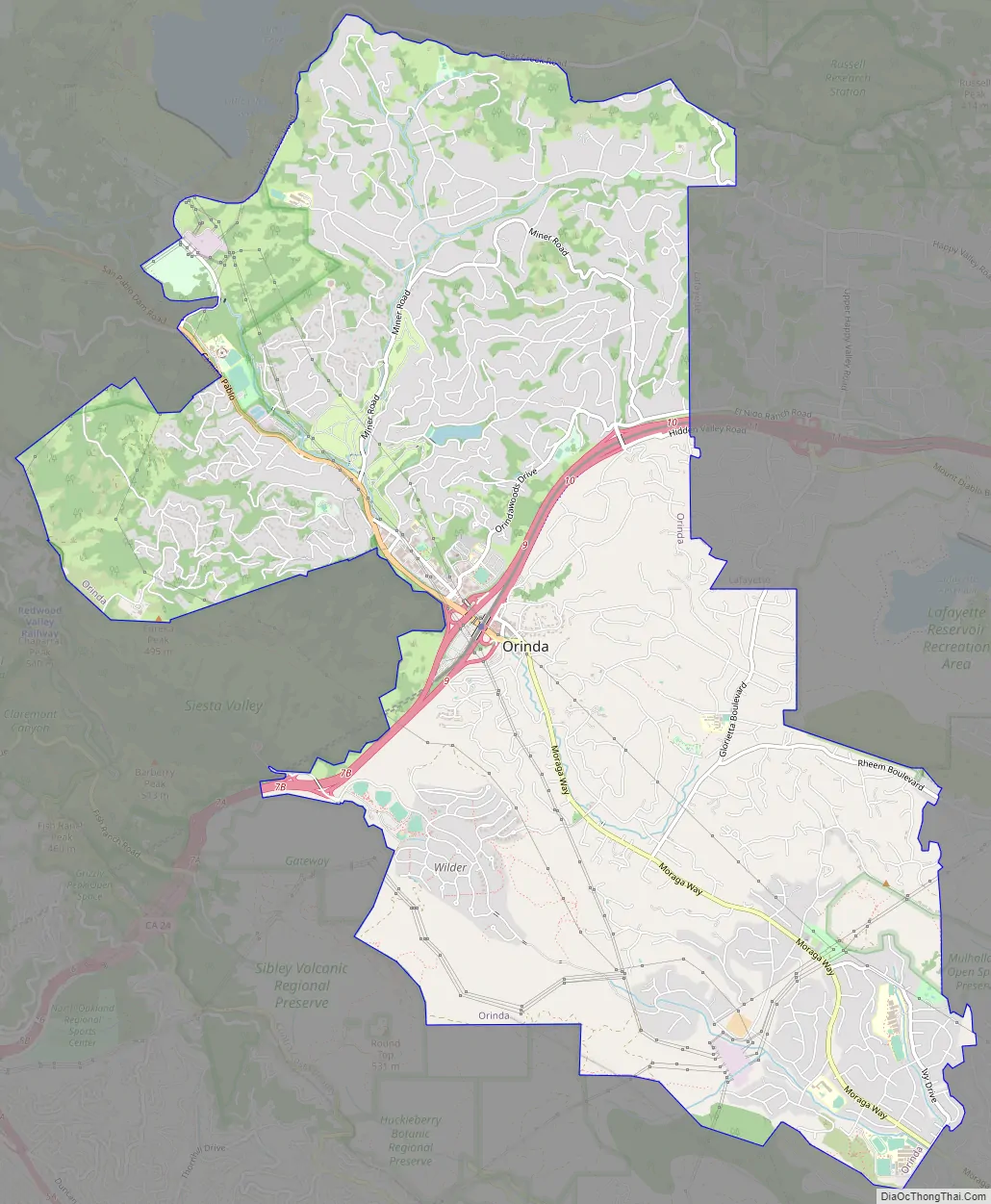
Orinda Road Map
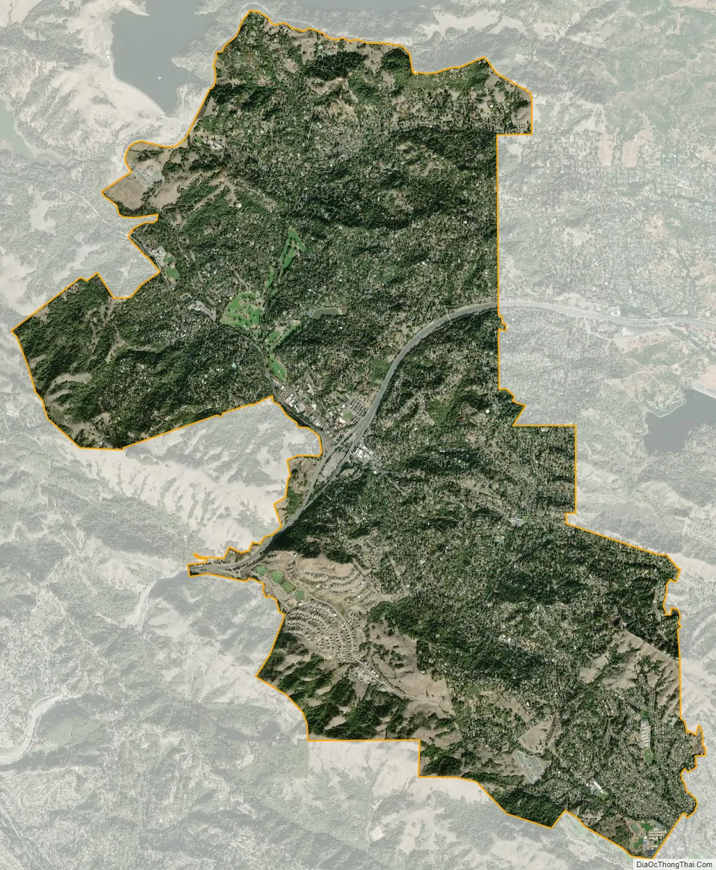
Orinda city Satellite Map
Geography
According to the United States Census Bureau, the city has a total area of 12.7 sq mi (33 km), of which 12.7 sq mi (33 km) of it is land and 0.015 sq mi (0.039 km) of it (0.12%) is water.
Climate
The area is characterized by a warm-summer Mediterranean climate (Köppen climate classification Csb) with cool, rainy winters and warm, dry summers. Because Orinda is located in a hilly area, microclimates often dominate temperature differences in short distances. The Oakland Hills often block the cool foggy conditions that can be seen in Oakland and the innerbay. In the summer, fog can spill over the Oakland hills, cooling off the area. Heatwaves from the inland areas can be felt much more in Orinda than in Oakland and the innerbay during the summer. In the winter, Orinda often sees more precipitation than surrounding areas because of its higher elevation. Snowfall is rare but not unheard of. A dusting of snow may occur in any given year because of the elevation. During stable conditions in the winter, mornings can be cold and frosty in downtown and lower-lying areas, while the higher hills surrounding the area may be several degrees warmer.
See also
Map of California State and its subdivision:- Alameda
- Alpine
- Amador
- Butte
- Calaveras
- Colusa
- Contra Costa
- Del Norte
- El Dorado
- Fresno
- Glenn
- Humboldt
- Imperial
- Inyo
- Kern
- Kings
- Lake
- Lassen
- Los Angeles
- Madera
- Marin
- Mariposa
- Mendocino
- Merced
- Modoc
- Mono
- Monterey
- Napa
- Nevada
- Orange
- Placer
- Plumas
- Riverside
- Sacramento
- San Benito
- San Bernardino
- San Diego
- San Francisco
- San Joaquin
- San Luis Obispo
- San Mateo
- Santa Barbara
- Santa Clara
- Santa Cruz
- Shasta
- Sierra
- Siskiyou
- Solano
- Sonoma
- Stanislaus
- Sutter
- Tehama
- Trinity
- Tulare
- Tuolumne
- Ventura
- Yolo
- Yuba
- Alabama
- Alaska
- Arizona
- Arkansas
- California
- Colorado
- Connecticut
- Delaware
- District of Columbia
- Florida
- Georgia
- Hawaii
- Idaho
- Illinois
- Indiana
- Iowa
- Kansas
- Kentucky
- Louisiana
- Maine
- Maryland
- Massachusetts
- Michigan
- Minnesota
- Mississippi
- Missouri
- Montana
- Nebraska
- Nevada
- New Hampshire
- New Jersey
- New Mexico
- New York
- North Carolina
- North Dakota
- Ohio
- Oklahoma
- Oregon
- Pennsylvania
- Rhode Island
- South Carolina
- South Dakota
- Tennessee
- Texas
- Utah
- Vermont
- Virginia
- Washington
- West Virginia
- Wisconsin
- Wyoming


