Chico (/ˈtʃiːkoʊ/ CHEE-koh; Spanish for “little”) is the most populous city in Butte County, California, United States. Located in the Sacramento Valley region of Northern California, the city had a population of 101,475 in the 2020 census, reflecting an increase from 86,187 in the 2010 Census. Chico is the cultural and economic center of the northern Sacramento Valley, as well as the largest city in California north of the capital city of Sacramento. The city is known as a college town, as the home of California State University, Chico, and for Bidwell Park, one of the largest urban parks in the world.
| Name: | Chico city |
|---|---|
| LSAD Code: | 25 |
| LSAD Description: | city (suffix) |
| State: | California |
| County: | Butte County |
| Founded: | 1860 |
| Incorporated: | January 8, 1872 |
| Elevation: | 243 ft (74 m) |
| Land Area: | 34.45 sq mi (89.23 km²) |
| Water Area: | 0.17 sq mi (0.45 km²) 0.52% |
| Population Density: | 2,945.57/sq mi (1,137.24/km²) |
| ZIP code: | 95926–95929, 95973, 95976 |
| Area code: | 530 |
| FIPS code: | 0613014 |
| GNISfeature ID: | 2409447 |
| Website: | www.chico.ca.us |
Online Interactive Map
Click on ![]() to view map in "full screen" mode.
to view map in "full screen" mode.
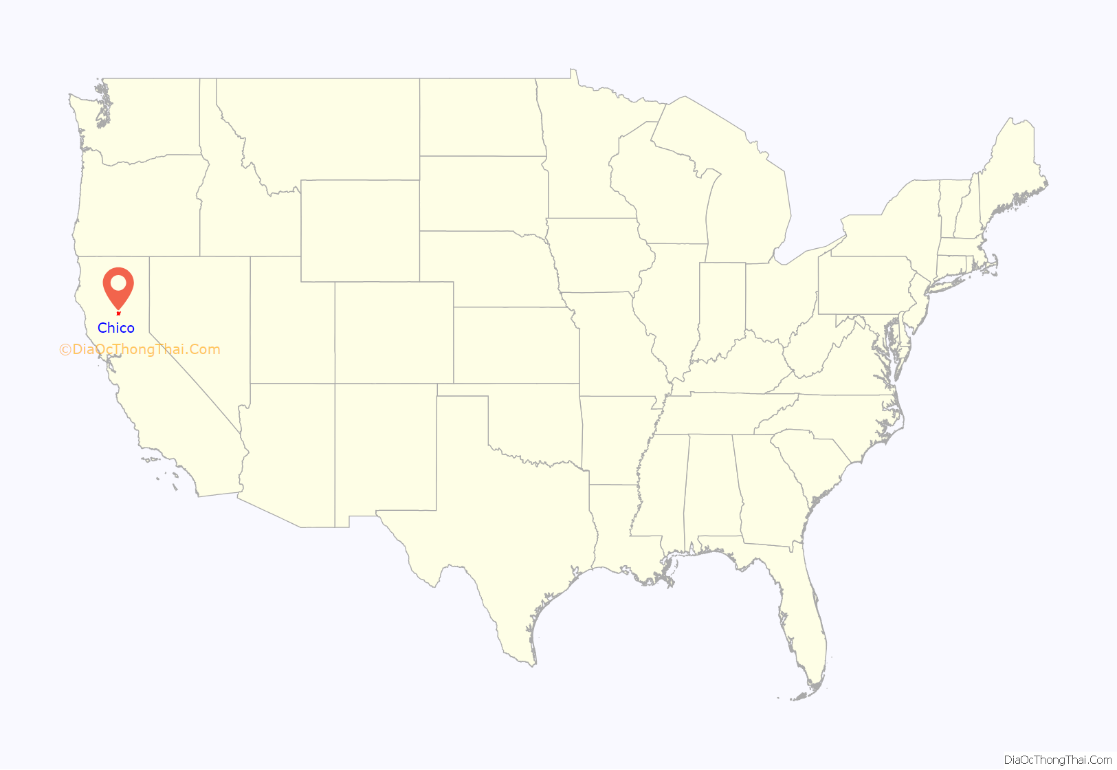
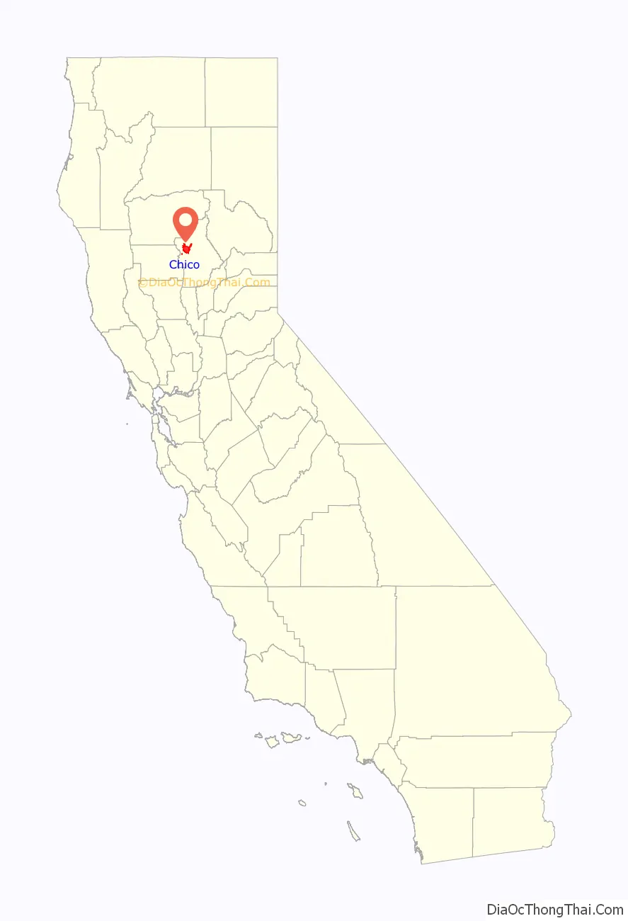
Chico location map. Where is Chico city?
History
The first known inhabitants of the area now known as Chico—a Spanish word meaning “little”—were the Mechoopda Maidu Native Americans.
The City of Chico was founded in 1860 by John Bidwell, a member of one of the first wagon trains to reach California in 1843. During the American Civil War, Camp Bidwell (named for John Bidwell, by then a brigadier general of the California Militia), was established a mile outside Chico, by Lt. Col. A. E. Hooker with a company of cavalry and two of infantry, on August 26, 1863.
By early 1865 it was being referred to as Camp Chico when a post called Camp Bidwell was established in northeast California, later to be Fort Bidwell. The city became incorporated January 8, 1872.
Chico was home to a significant Chinese American community when it was first incorporated, but arsonists burned Chico’s Chinatown in February 1886, driving Chinese Americans out of town.
Historian W.H. “Old Hutch” Hutchinson identified five events as the most seminal in Chico history. They included the arrival of John Bidwell in 1850, the arrival of the California and Oregon Railroad in 1870, the establishment in 1887 of the Northern Branch of the State Normal School, which later became California State University, Chico (Chico State), the purchase of the Sierra Lumber Company by the Diamond Match Company in 1900, and the development of the Army Air Base, which is now the Chico Municipal Airport.
Other events include the construction and relocation of Route 99E through town in the early 1960s, the founding of Sierra Nevada Brewing Company in 1979—what would become one of the top breweries in the nation—and the establishment of a “Green Line” on the western city limits as protection of agricultural lands.
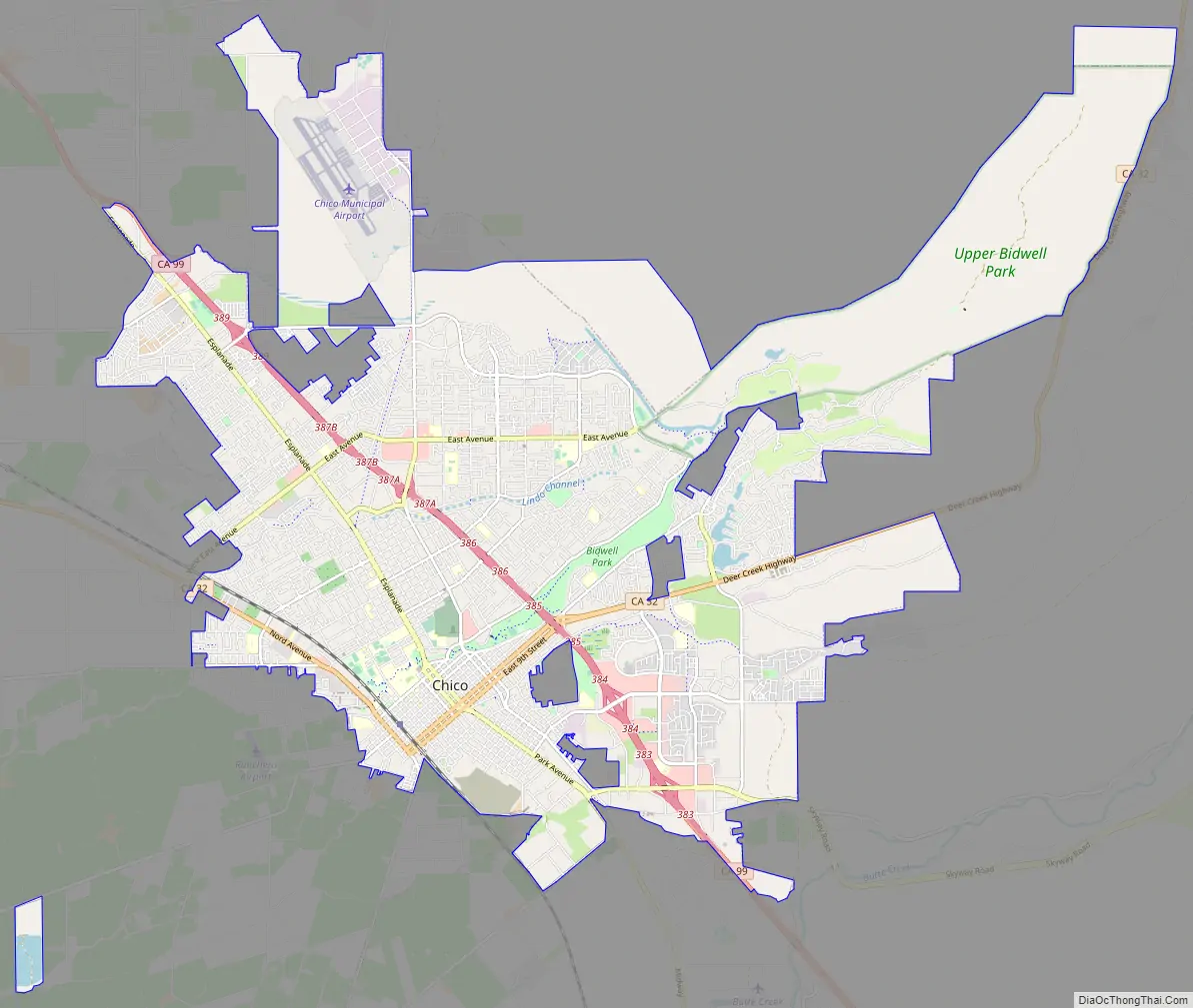
Chico Road Map
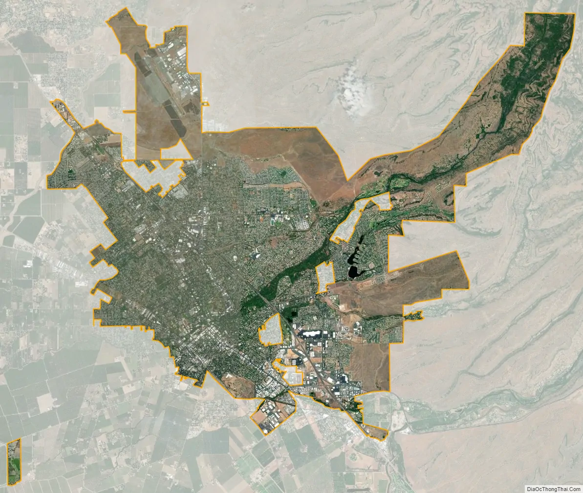
Chico city Satellite Map
Geography
Chico is at the Sacramento Valley’s northeast edge, one of the richest agricultural areas in the world. The Sierra Nevada mountains lie to the east and south, with Chico’s city limits venturing several miles into the foothills. To the west, the Sacramento River lies 5 miles (8 km) from the city.
Chico sits on the Sacramento Valley floor close to the foothills of the Cascade Range to the north and the Sierra Nevada range to the east and south. Big Chico Creek is the demarcation line between the ranges. The city’s terrain is generally flat, with increasingly hilly terrain beginning at the eastern city limits.
According to the United States Census Bureau, the city has a total area of 27.8 square miles (72 km), of which 27.7 square miles (72 km) is land and 0.04% is water.
The city is bisected by Bidwell Park, which runs 5 miles (8 km) from the flat city center deep into the foothills.
The city is also traversed by two creeks and a flood channel, which feeds the Sacramento River. They are named Big Chico Creek, Little Chico Creek, and Lindo Channel (also known as Sandy Gulch, locally).
The city has been designated a Tree City USA for 31 years by the National Arbor Day Foundation.
Chico is made up of many districts and neighborhoods, including Downtown Chico, the South Campus neighborhood, and Barber.
Climate
Chico and the Sacramento Valley have a Mediterranean climate (Köppen Csa), with hot, dry summers and cool, wet winters. Temperatures can rise well above 100 °F (38 °C) in the summer. Chico is one of the top metropolitan areas in the nation for number of clear days. Winters are cool and wet, with the most rainfall coming in January. July is usually the hottest month, with an average high temperature of 94 °F (34 °C) and an average low temperature of 61 °F (16 °C). January is the coolest month, with an average high temperature of 55 °F (13 °C) and an average low temperature of 35 °F (2 °C). The average annual rainfall is 27 inches (690 mm). Tule fog is sometimes present during the autumn and winter months.
See also
Map of California State and its subdivision:- Alameda
- Alpine
- Amador
- Butte
- Calaveras
- Colusa
- Contra Costa
- Del Norte
- El Dorado
- Fresno
- Glenn
- Humboldt
- Imperial
- Inyo
- Kern
- Kings
- Lake
- Lassen
- Los Angeles
- Madera
- Marin
- Mariposa
- Mendocino
- Merced
- Modoc
- Mono
- Monterey
- Napa
- Nevada
- Orange
- Placer
- Plumas
- Riverside
- Sacramento
- San Benito
- San Bernardino
- San Diego
- San Francisco
- San Joaquin
- San Luis Obispo
- San Mateo
- Santa Barbara
- Santa Clara
- Santa Cruz
- Shasta
- Sierra
- Siskiyou
- Solano
- Sonoma
- Stanislaus
- Sutter
- Tehama
- Trinity
- Tulare
- Tuolumne
- Ventura
- Yolo
- Yuba
- Alabama
- Alaska
- Arizona
- Arkansas
- California
- Colorado
- Connecticut
- Delaware
- District of Columbia
- Florida
- Georgia
- Hawaii
- Idaho
- Illinois
- Indiana
- Iowa
- Kansas
- Kentucky
- Louisiana
- Maine
- Maryland
- Massachusetts
- Michigan
- Minnesota
- Mississippi
- Missouri
- Montana
- Nebraska
- Nevada
- New Hampshire
- New Jersey
- New Mexico
- New York
- North Carolina
- North Dakota
- Ohio
- Oklahoma
- Oregon
- Pennsylvania
- Rhode Island
- South Carolina
- South Dakota
- Tennessee
- Texas
- Utah
- Vermont
- Virginia
- Washington
- West Virginia
- Wisconsin
- Wyoming


