The Town of Sheridan Lake is a Statutory Town located in Kiowa County, Colorado, United States. The population was 55 at the 2020 census.
A post office called “Sheridan Lake” has been in operation since 1887. The community was named after Phil Sheridan, a pioneer hunter.
| Name: | Sheridan Lake town |
|---|---|
| LSAD Code: | 43 |
| LSAD Description: | town (suffix) |
| State: | Colorado |
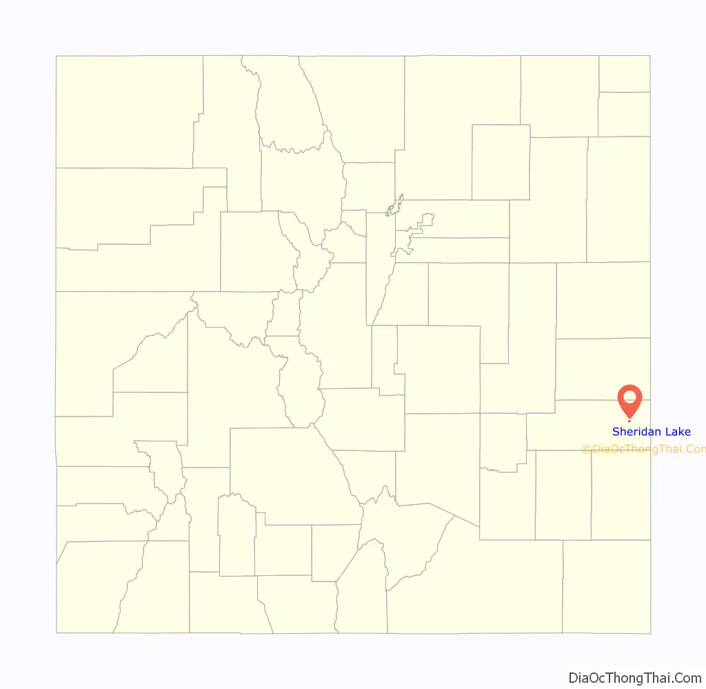
| County: | Kiowa County |
| Incorporated: | 1951-06-11 |
| Elevation: | 4,072 ft (1,241 m) |
| Total Area: | 0.31 sq mi (0.80 km²) |
| Land Area: | 0.31 sq mi (0.80 km²) |
| Water Area: | 0.00 sq mi (0.00 km²) |
| Total Population: | 55 |
| Population Density: | 180/sq mi (69/km²) |
| ZIP code: | 81071 |
| Area code: | 719 |
| FIPS code: | 0869700 |
| GNISfeature ID: | 0195322 |
| Website: | www.kcedfonline.org/sheridanlake.htm |
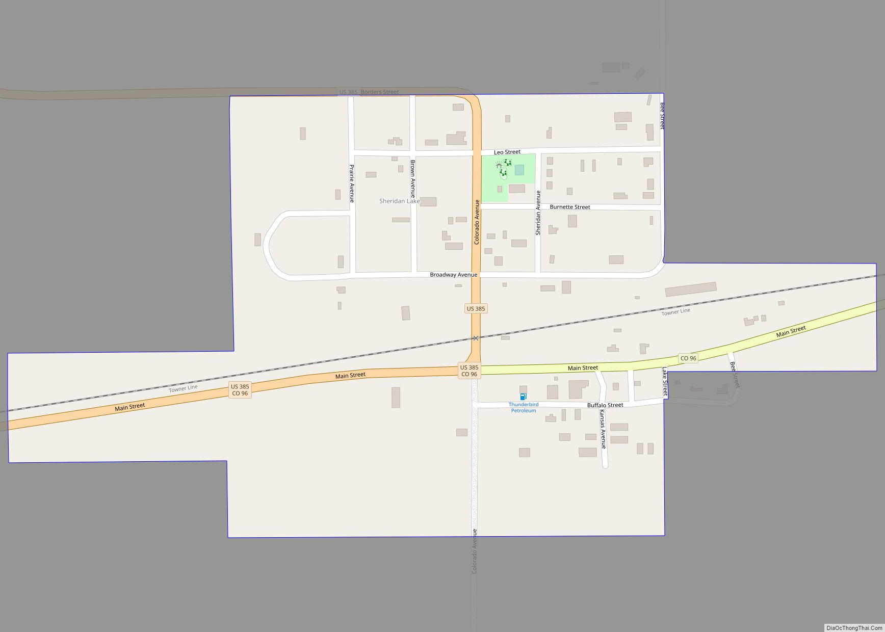
Online Interactive Map
Click on ![]() to view map in "full screen" mode.
to view map in "full screen" mode.
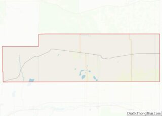
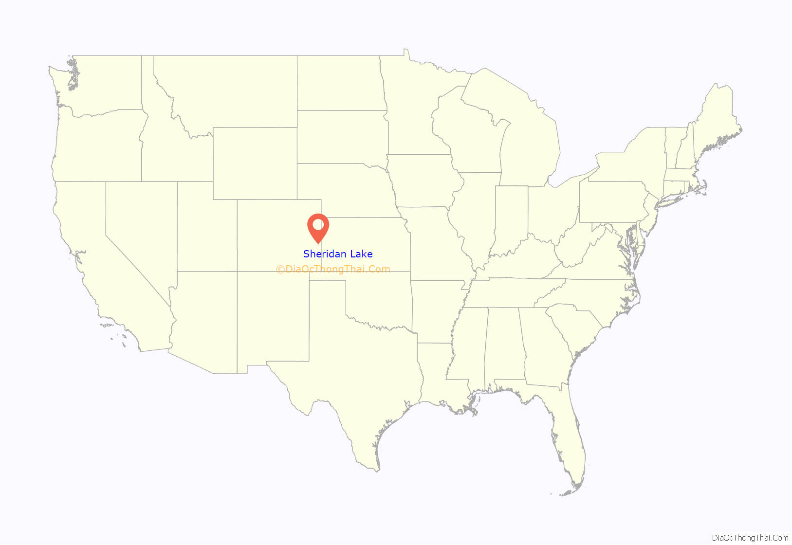
Sheridan Lake location map. Where is Sheridan Lake town?
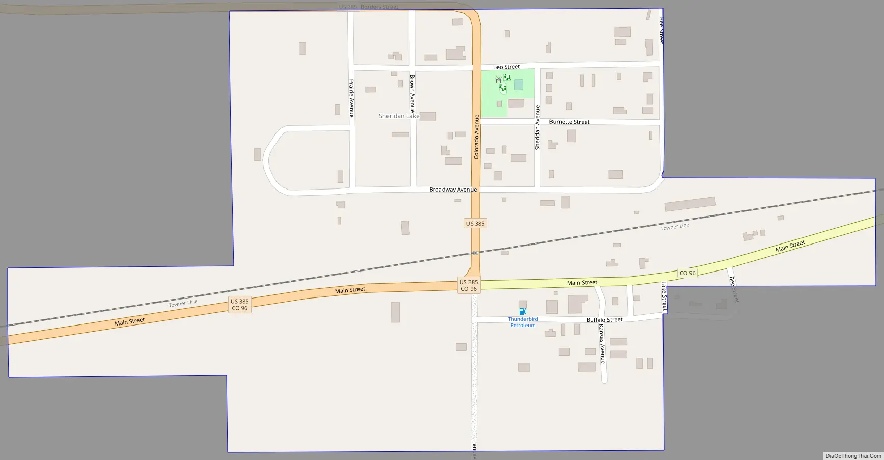
Sheridan Lake Road Map
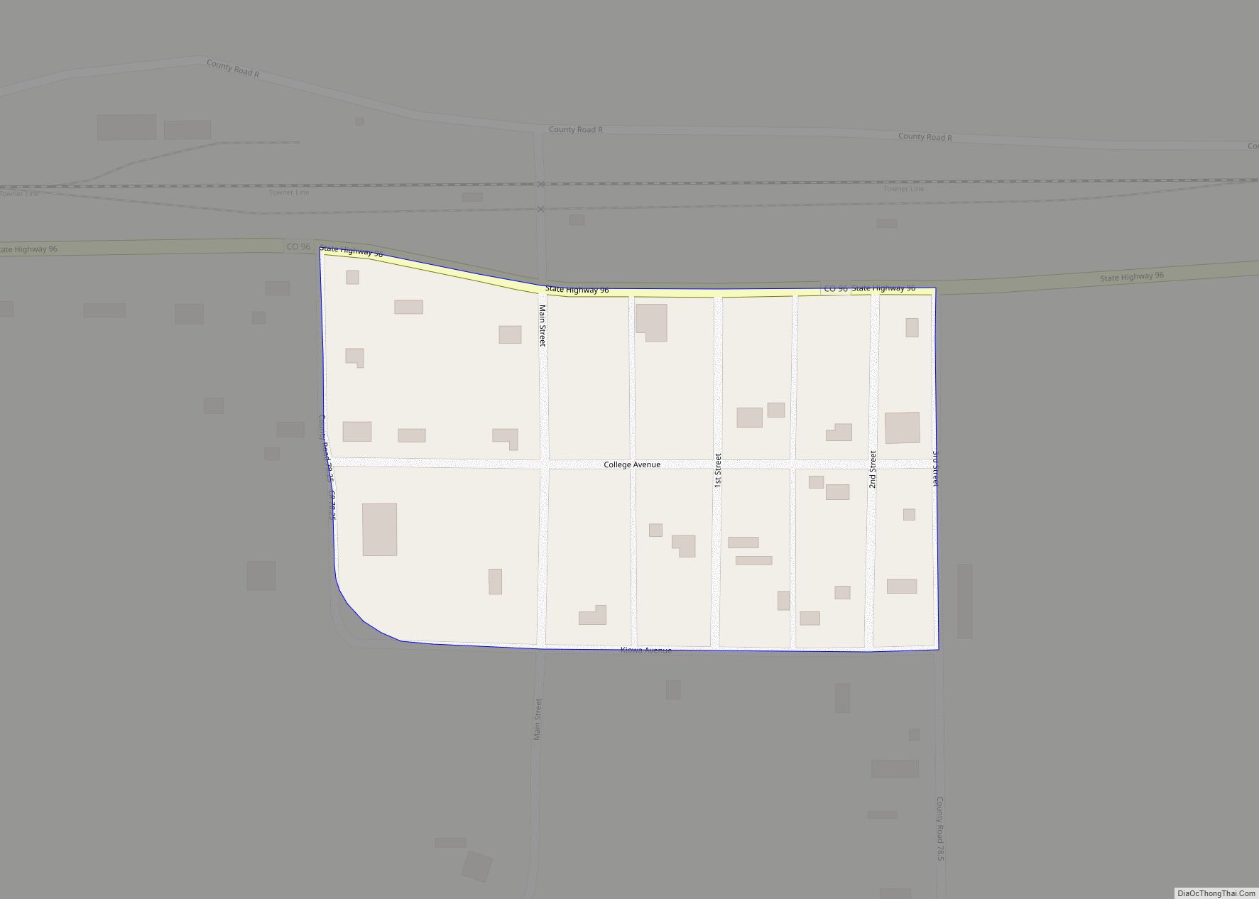
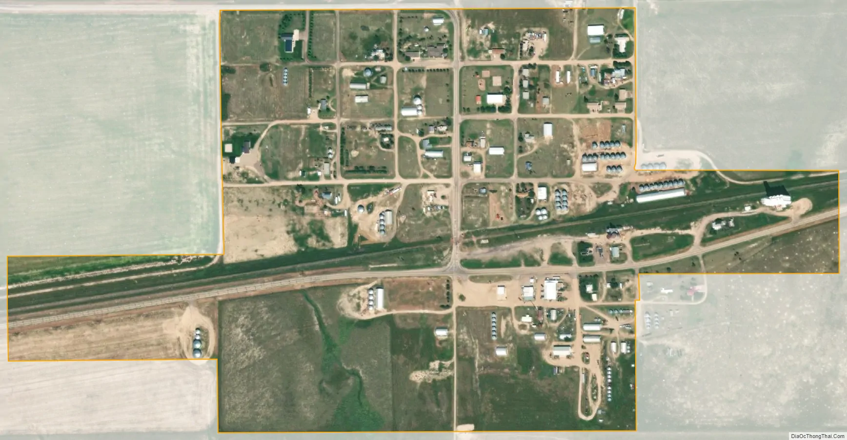
Sheridan Lake city Satellite Map
Geography
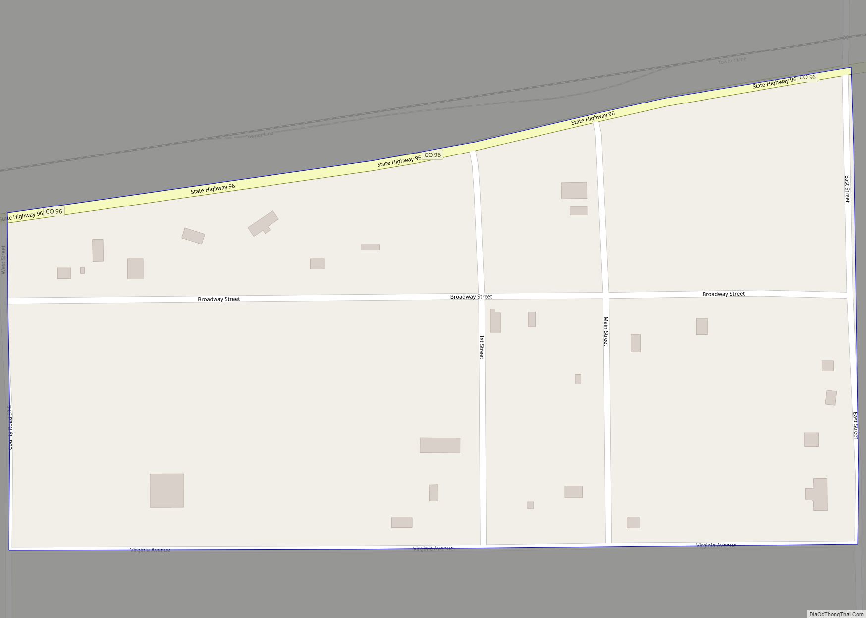
Sheridan Lake is located in eastern Kiowa County at 38°28′6″N 102°17′35″W / 38.46833°N 102.29306°W / 38.46833; -102.29306 (38.468274, -102.293155). U.S. Route 385 passes through the town, leading north 27 miles (43 km) to Cheyenne Wells and south 28 miles (45 km) to Granada. Colorado State Highway 96 is the town’s Main Street and leads west 28 miles (45 km) to Eads, the Kiowa county seat, and east 13 miles (21 km) to the Kansas border.
According to the United States Census Bureau, the town has a total area of 0.32 square miles (0.82 km), all of it recorded as land. The town is situated just to the north of the site of the small lake for which it was named. Recent aerial photos appear to indicate that the lake is mostly dried-up, with only an alkali lake bed remaining.
See also
Map of Colorado State and its subdivision:- Adams
- Alamosa
- Arapahoe
- Archuleta
- Baca
- Bent
- Boulder
- Broomfield
- Chaffee
- Cheyenne
- Clear Creek
- Conejos
- Costilla
- Crowley
- Custer
- Delta
- Denver
- Dolores
- Douglas
- Eagle
- El Paso
- Elbert
- Fremont
- Garfield
- Gilpin
- Grand
- Gunnison
- Hinsdale
- Huerfano
- Jackson
- Jefferson
- Kiowa
- Kit Carson
- La Plata
- Lake
- Larimer
- Las Animas
- Lincoln
- Logan
- Mesa
- Mineral
- Moffat
- Montezuma
- Montrose
- Morgan
- Otero
- Ouray
- Park
- Phillips
- Pitkin
- Prowers
- Pueblo
- Rio Blanco
- Rio Grande
- Routt
- Saguache
- San Juan
- San Miguel
- Sedgwick
- Summit
- Teller
- Washington
- Weld
- Yuma
- Alabama
- Alaska
- Arizona
- Arkansas
- California
- Colorado
- Connecticut
- Delaware
- District of Columbia
- Florida
- Georgia
- Hawaii
- Idaho
- Illinois
- Indiana
- Iowa
- Kansas
- Kentucky
- Louisiana
- Maine
- Maryland
- Massachusetts
- Michigan
- Minnesota
- Mississippi
- Missouri
- Montana
- Nebraska
- Nevada
- New Hampshire
- New Jersey
- New Mexico
- New York
- North Carolina
- North Dakota
- Ohio
- Oklahoma
- Oregon
- Pennsylvania
- Rhode Island
- South Carolina
- South Dakota
- Tennessee
- Texas
- Utah
- Vermont
- Virginia
- Washington
- West Virginia
- Wisconsin
- Wyoming