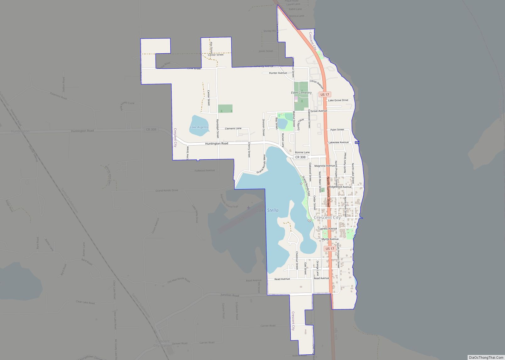
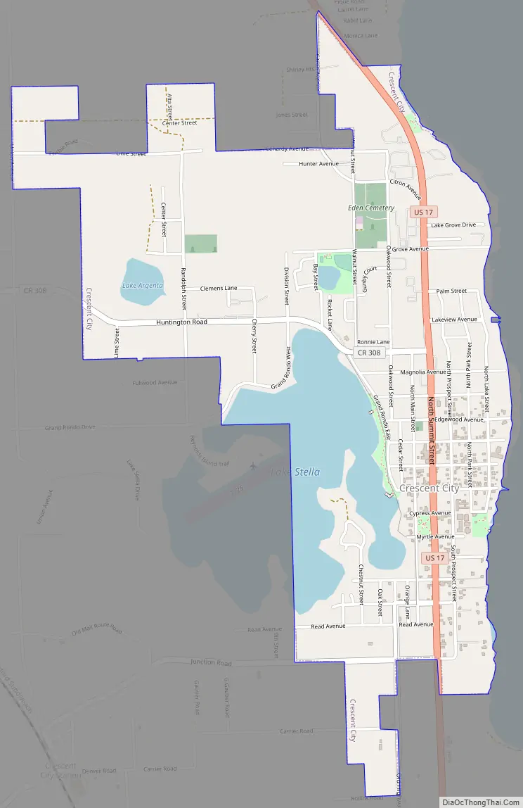
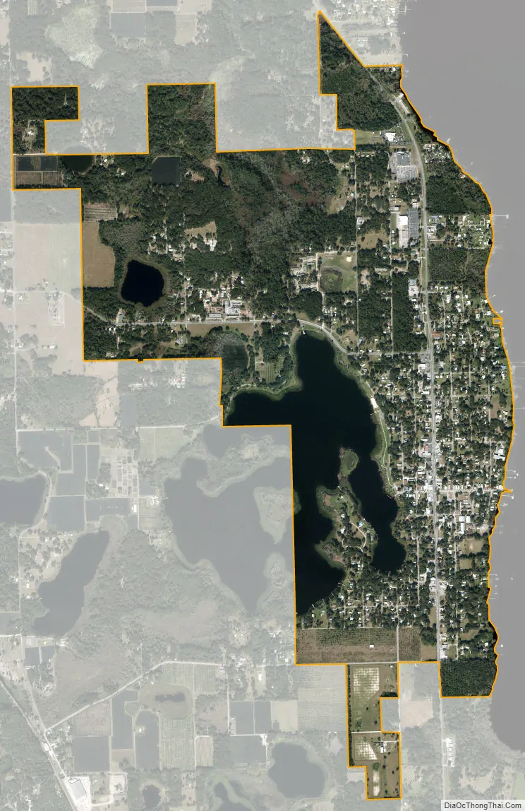
Crescent City is a city in Putnam County, Florida, United States. As of the 2020 Census, its population was 1,654. The city is located on two lakes and is part of the Palatka Micropolitan Statistical Area. Crescent Lake lies to the east of town and Lake Stella is located to the west.
| Name: | Crescent City city |
|---|---|
| LSAD Code: | 25 |
| LSAD Description: | city (suffix) |
| State: | Florida |
| County: | Putnam County |
| Elevation: | 52 ft (16 m) |
| Total Area: | 2.39 sq mi (6.18 km²) |
| Land Area: | 2.06 sq mi (5.35 km²) |
| Water Area: | 0.32 sq mi (0.83 km²) |
| Total Population: | 1,654 |
| Population Density: | 800.97/sq mi (309.33/km²) |
| ZIP code: | 32112 |
| Area code: | 386 |
| FIPS code: | 1215375 |
| GNISfeature ID: | 0281030 |
| Website: | http://www.crescentcity-fl.com |
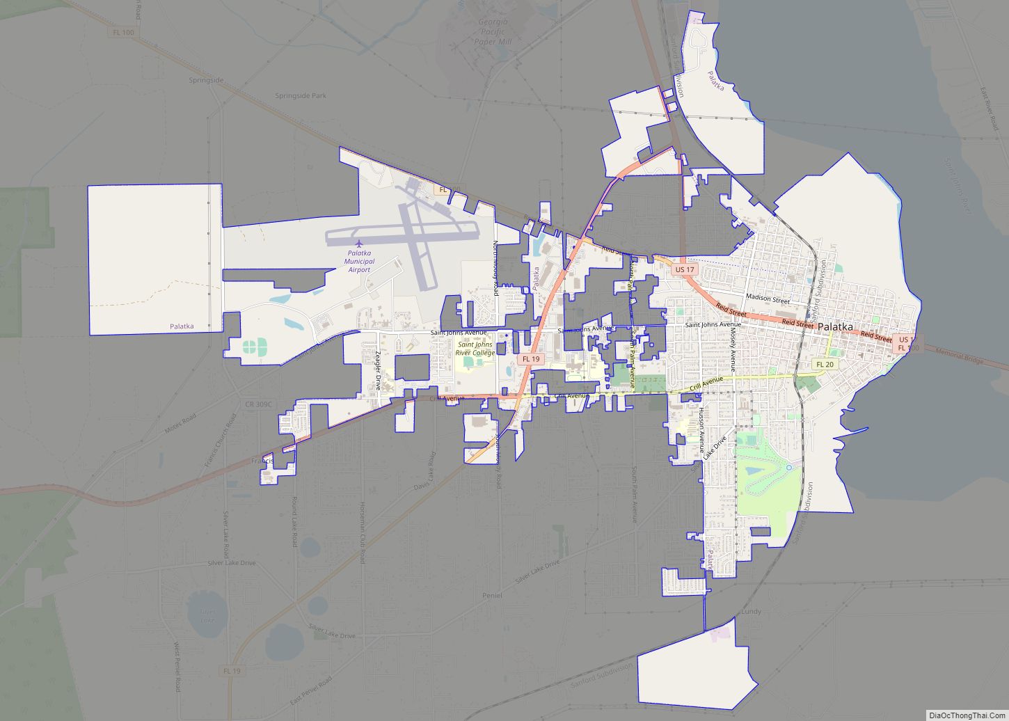
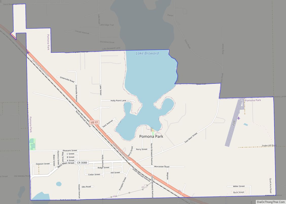
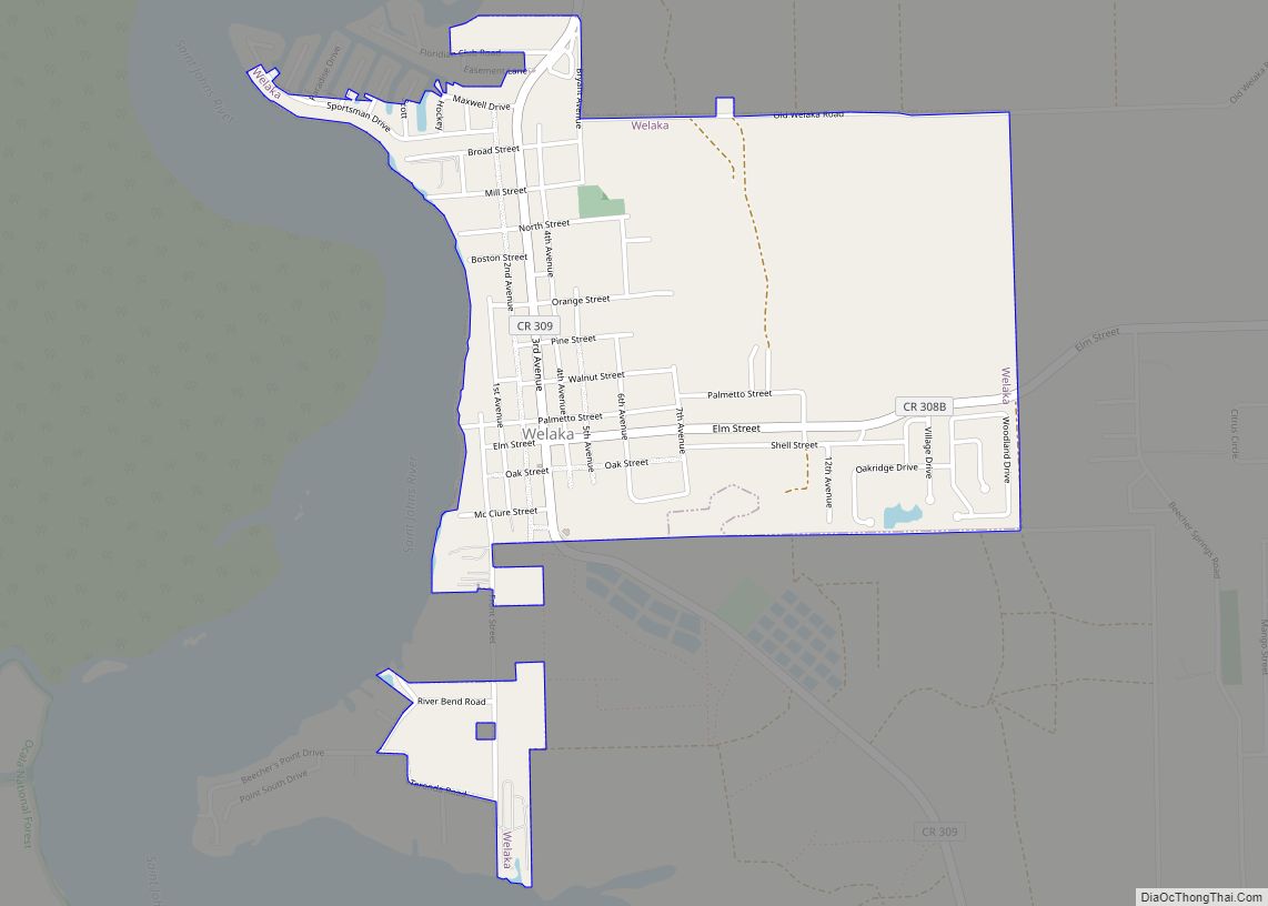
Online Interactive Map
Click on ![]() to view map in "full screen" mode.
to view map in "full screen" mode.
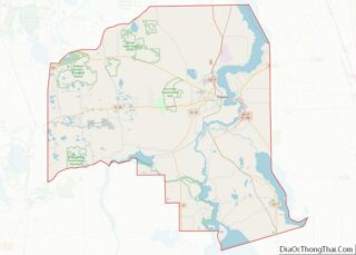
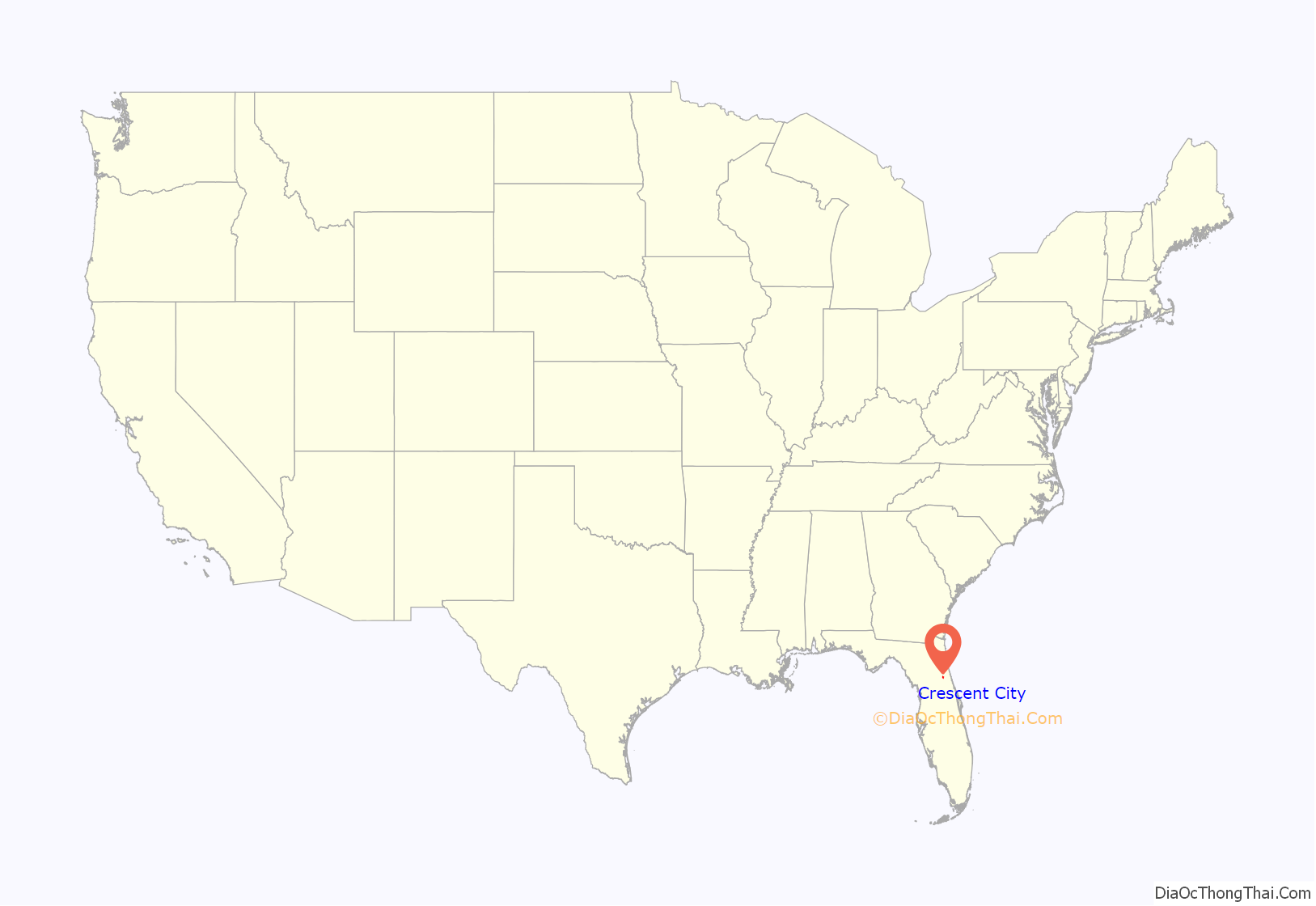
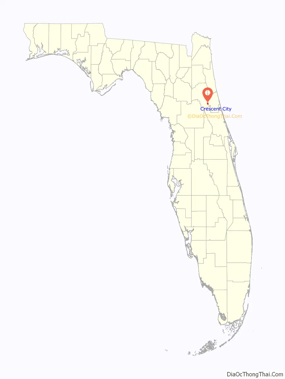
Crescent City location map. Where is Crescent City city?
History
A. Philip Randolph, the founder of the Brotherhood of Sleeping Car Porters, was born in Crescent City in 1889. Randolph would become a prominent civil rights leader, especially during the Civil Rights Movement in the 1950s and 1960s. Randolph Street in Crescent City is named after this influential figure.
Crescent City has two listings on the National Register of Historic Places, Hubbard House and the Crescent City Historic District.
Eagle’s Nest Grove in Crescent City is the oldest continuous organic citrus grove in Florida.
Crescent City Road Map
Crescent City city Satellite Map
Geography
Crescent City is located at 29°26′10″N 81°30′50″W / 29.436191°N 81.513835°W / 29.436191; -81.513835.
According to the United States Census Bureau, the city has a total area of 2.1 square miles (5.4 km), of which 1.8 square miles (4.7 km) is land and 0.3 square miles (0.78 km) (14.02%) is water. The city is located between two lakes, Lake Stella to the west and Lake Crescent to the east.
Climate
See also
Map of Florida State and its subdivision:- Alachua
- Baker
- Bay
- Bradford
- Brevard
- Broward
- Calhoun
- Charlotte
- Citrus
- Clay
- Collier
- Columbia
- Desoto
- Dixie
- Duval
- Escambia
- Flagler
- Franklin
- Gadsden
- Gilchrist
- Glades
- Gulf
- Hamilton
- Hardee
- Hendry
- Hernando
- Highlands
- Hillsborough
- Holmes
- Indian River
- Jackson
- Jefferson
- Lafayette
- Lake
- Lee
- Leon
- Levy
- Liberty
- Madison
- Manatee
- Marion
- Martin
- Miami-Dade
- Monroe
- Nassau
- Okaloosa
- Okeechobee
- Orange
- Osceola
- Palm Beach
- Pasco
- Pinellas
- Polk
- Putnam
- Saint Johns
- Saint Lucie
- Santa Rosa
- Sarasota
- Seminole
- Sumter
- Suwannee
- Taylor
- Union
- Volusia
- Wakulla
- Walton
- Washington
- Alabama
- Alaska
- Arizona
- Arkansas
- California
- Colorado
- Connecticut
- Delaware
- District of Columbia
- Florida
- Georgia
- Hawaii
- Idaho
- Illinois
- Indiana
- Iowa
- Kansas
- Kentucky
- Louisiana
- Maine
- Maryland
- Massachusetts
- Michigan
- Minnesota
- Mississippi
- Missouri
- Montana
- Nebraska
- Nevada
- New Hampshire
- New Jersey
- New Mexico
- New York
- North Carolina
- North Dakota
- Ohio
- Oklahoma
- Oregon
- Pennsylvania
- Rhode Island
- South Carolina
- South Dakota
- Tennessee
- Texas
- Utah
- Vermont
- Virginia
- Washington
- West Virginia
- Wisconsin
- Wyoming