Dover is an unincorporated census-designated place in Hillsborough County, Florida, United States. The population was 3,266 at the 2020 census, down from 3,702 at the 2010 census.
| Name: | Dover CDP |
|---|---|
| LSAD Code: | 57 |
| LSAD Description: | CDP (suffix) |
| State: | Florida |
| County: | Hillsborough County |
| Elevation: | 102 ft (31 m) |
| Total Area: | 2.64 sq mi (6.84 km²) |
| Land Area: | 2.60 sq mi (6.74 km²) |
| Water Area: | 0.04 sq mi (0.10 km²) |
| Total Population: | 3,266 |
| Population Density: | 1,255.67/sq mi (484.75/km²) |
| ZIP code: | 33527 |
| Area code: | 813 |
| FIPS code: | 1218075 |
| GNISfeature ID: | 0281733 |
Online Interactive Map
Click on ![]() to view map in "full screen" mode.
to view map in "full screen" mode.
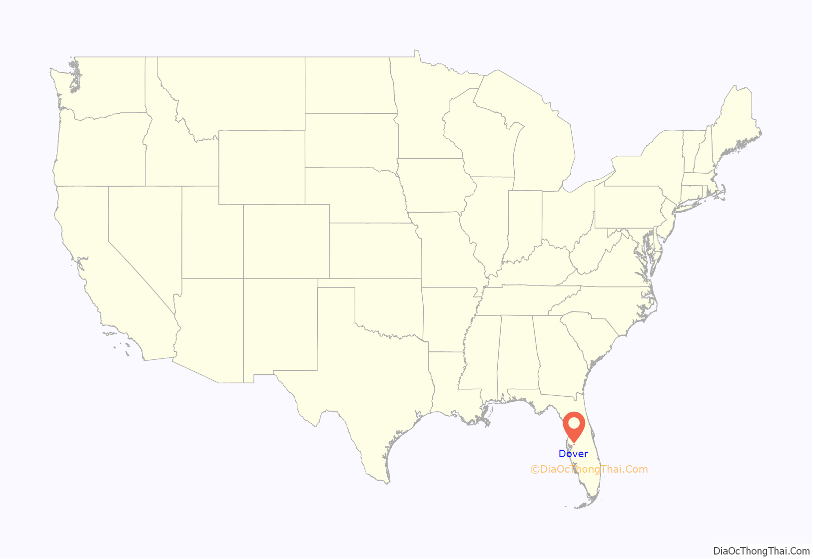
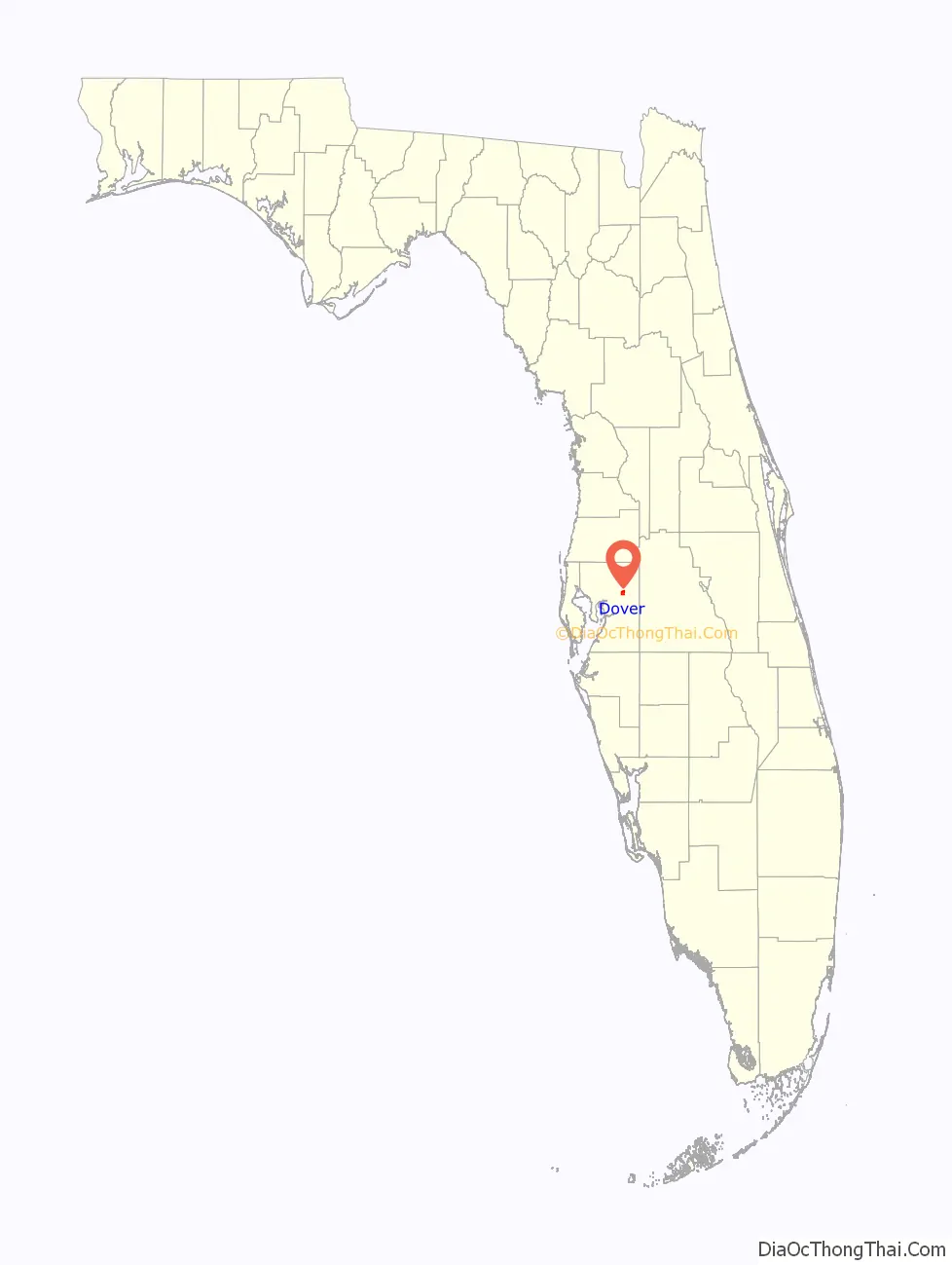
Dover location map. Where is Dover CDP?
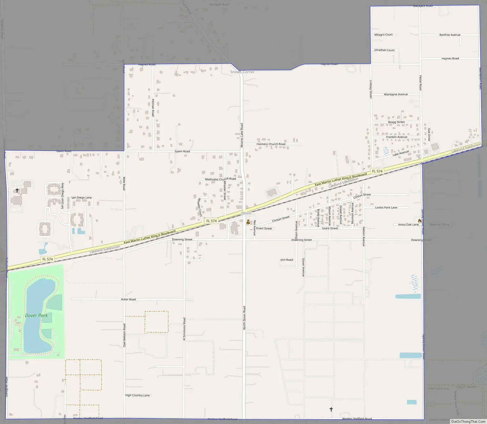
Dover Road Map
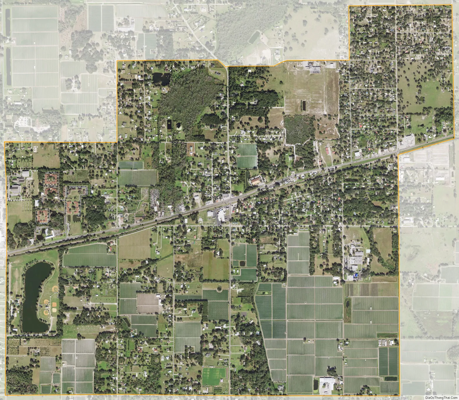
Dover city Satellite Map
Geography
Dover is located at 27°59′40″N 82°13′0″W / 27.99444°N 82.21667°W / 27.99444; -82.21667 (27.994457, -82.216630).
Dover is a Tampa suburb located approximately 24 miles from the Metropolitan Area Business District. It is 6 miles west of Plant City and 7 miles northeast of Brandon. According to the United States Census Bureau, the community has a total area of 2.6 square miles (6.7 km), of which 2.6 square miles (6.7 km) is land and 0.04 square miles (0.10 km) (1.14%) is water.
See also
Map of Florida State and its subdivision:- Alachua
- Baker
- Bay
- Bradford
- Brevard
- Broward
- Calhoun
- Charlotte
- Citrus
- Clay
- Collier
- Columbia
- Desoto
- Dixie
- Duval
- Escambia
- Flagler
- Franklin
- Gadsden
- Gilchrist
- Glades
- Gulf
- Hamilton
- Hardee
- Hendry
- Hernando
- Highlands
- Hillsborough
- Holmes
- Indian River
- Jackson
- Jefferson
- Lafayette
- Lake
- Lee
- Leon
- Levy
- Liberty
- Madison
- Manatee
- Marion
- Martin
- Miami-Dade
- Monroe
- Nassau
- Okaloosa
- Okeechobee
- Orange
- Osceola
- Palm Beach
- Pasco
- Pinellas
- Polk
- Putnam
- Saint Johns
- Saint Lucie
- Santa Rosa
- Sarasota
- Seminole
- Sumter
- Suwannee
- Taylor
- Union
- Volusia
- Wakulla
- Walton
- Washington
- Alabama
- Alaska
- Arizona
- Arkansas
- California
- Colorado
- Connecticut
- Delaware
- District of Columbia
- Florida
- Georgia
- Hawaii
- Idaho
- Illinois
- Indiana
- Iowa
- Kansas
- Kentucky
- Louisiana
- Maine
- Maryland
- Massachusetts
- Michigan
- Minnesota
- Mississippi
- Missouri
- Montana
- Nebraska
- Nevada
- New Hampshire
- New Jersey
- New Mexico
- New York
- North Carolina
- North Dakota
- Ohio
- Oklahoma
- Oregon
- Pennsylvania
- Rhode Island
- South Carolina
- South Dakota
- Tennessee
- Texas
- Utah
- Vermont
- Virginia
- Washington
- West Virginia
- Wisconsin
- Wyoming


