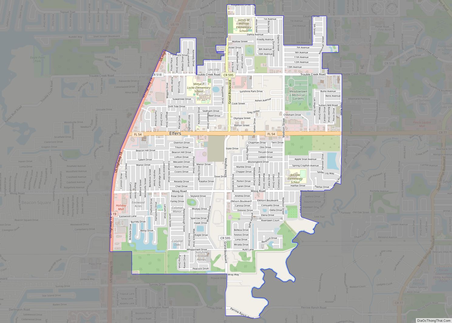
Elfers is a census-designated place (CDP) in Pasco County, Florida, United States. The population was 13,161 at the 2000 census.
| Name: | Elfers CDP |
|---|---|
| LSAD Code: | 57 |
| LSAD Description: | CDP (suffix) |
| State: | Florida |
| County: | Pasco County |
| Elevation: | 39 ft (12 m) |
| Total Area: | 3.75 sq mi (9.72 km²) |
| Land Area: | 3.73 sq mi (9.65 km²) |
| Water Area: | 0.03 sq mi (0.06 km²) |
| Total Population: | 14,573 |
| Population Density: | 3,910.12/sq mi (1,509.80/km²) |
| ZIP code: | 34680 |
| Area code: | 727 |
| FIPS code: | 1220275 |
| GNISfeature ID: | 0282152 |
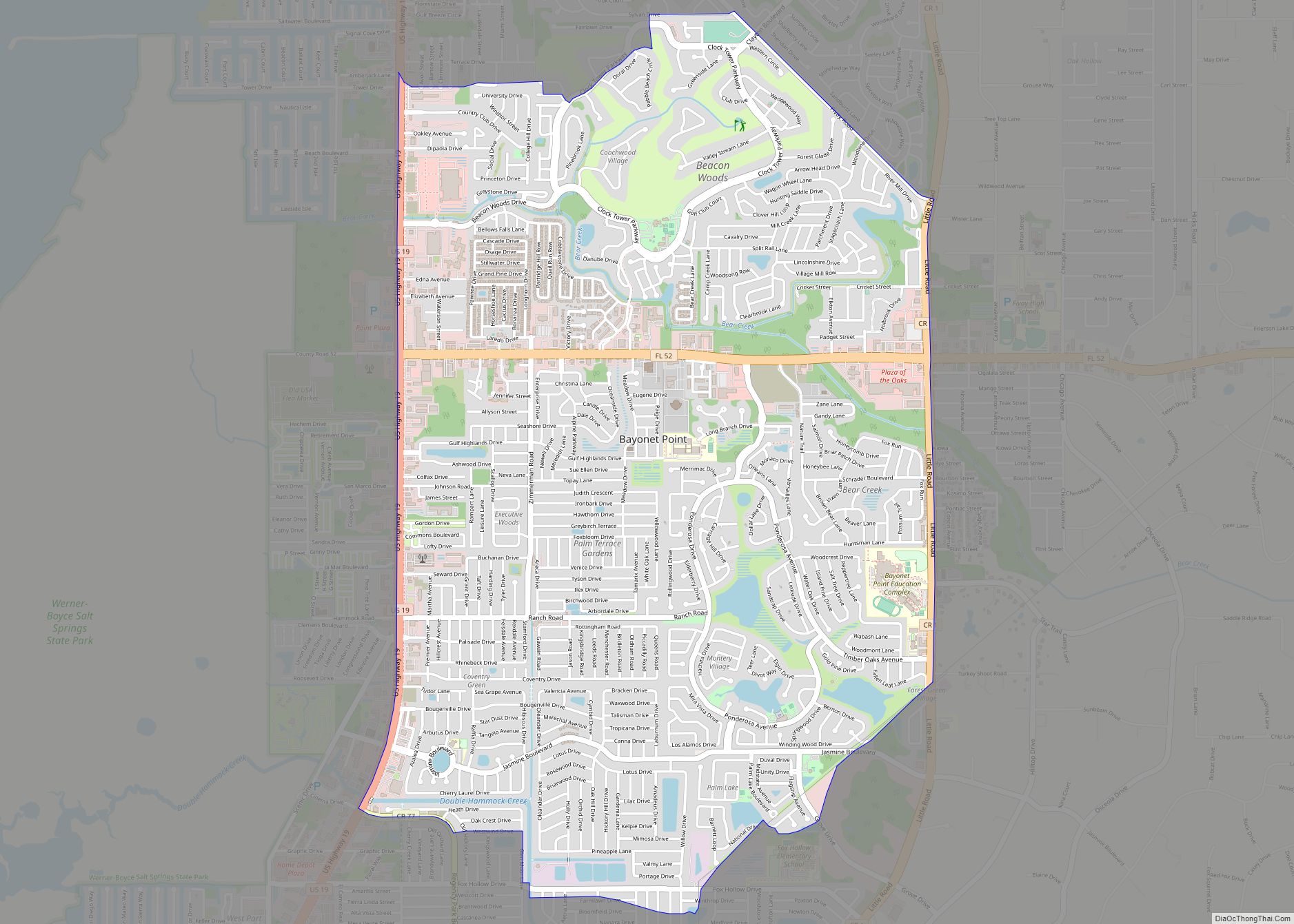
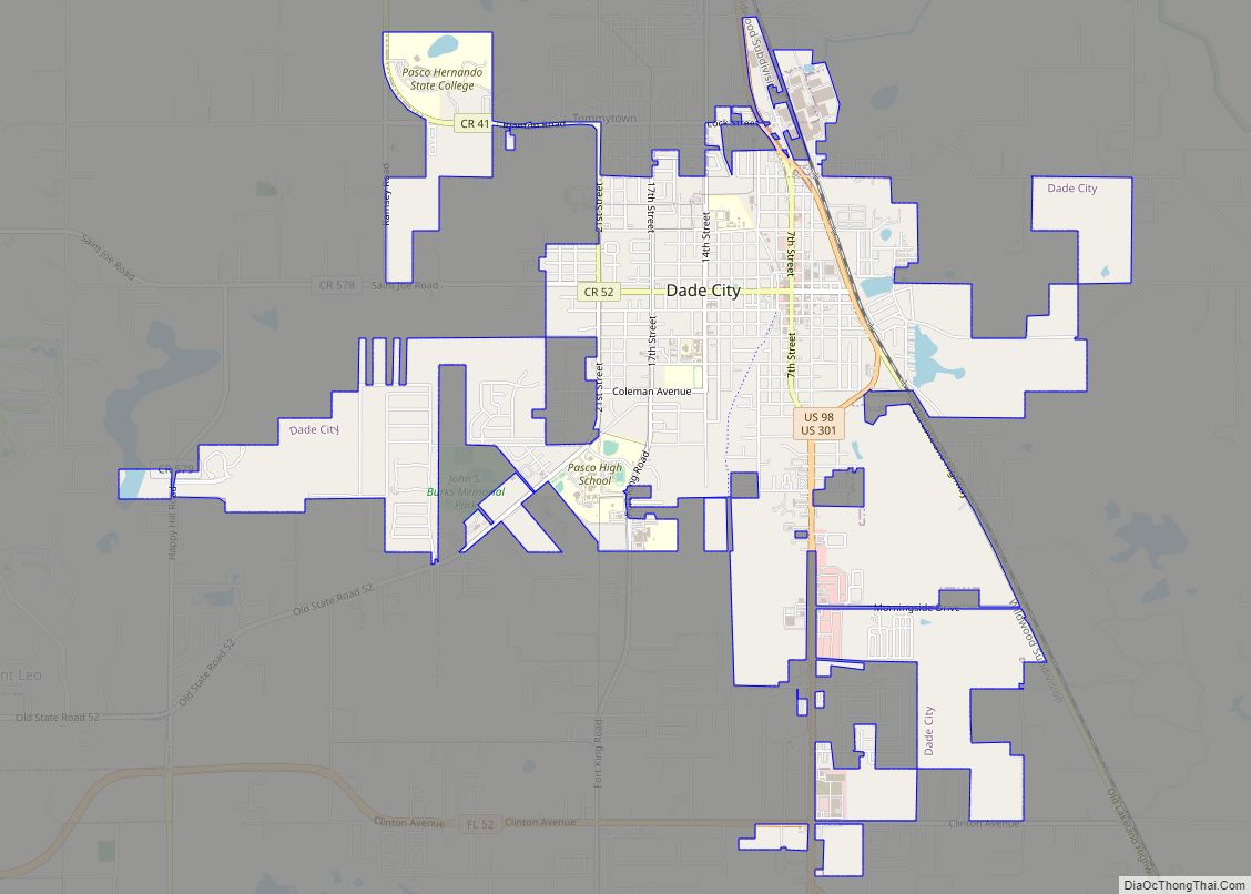
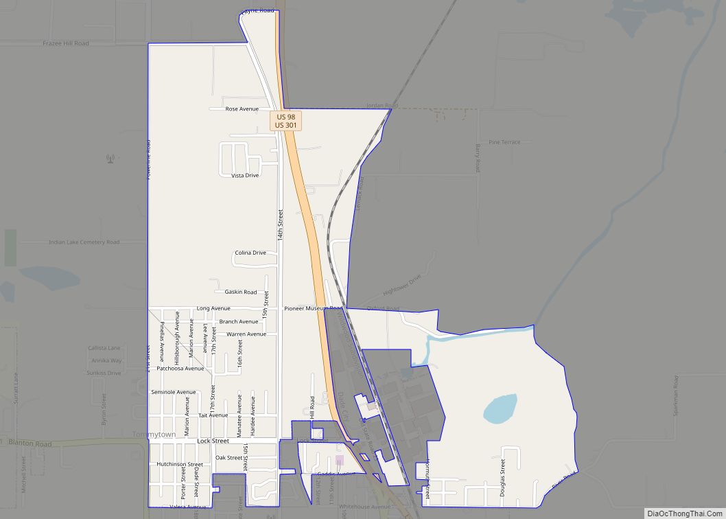
Online Interactive Map
Click on ![]() to view map in "full screen" mode.
to view map in "full screen" mode.
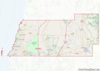
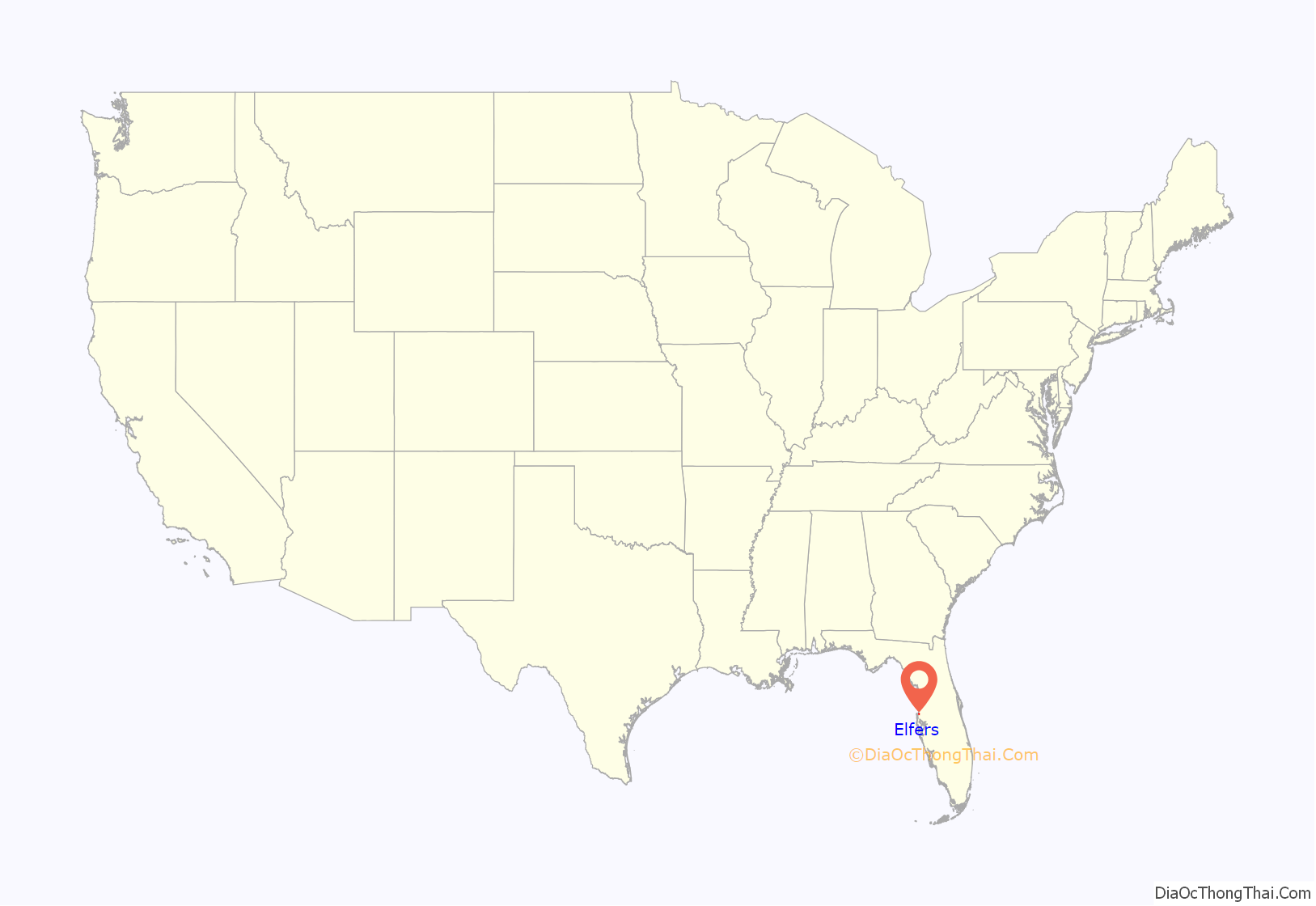
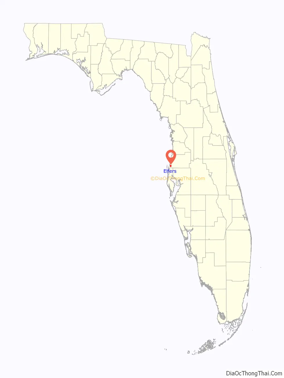
Elfers location map. Where is Elfers CDP?
History
The area was known as the Baillie settlement until the Elfers post office was established on Dec. 14, 1909. Frieda Marie (Bolling) Eiland, the wife of the first postmaster, chose the name of the post office to honor a favorite uncle, whose last name was Elfers. Railroad service came to Elfers for the shipment of citrus in 1913. In 1915, the Elfers School opened; it was the first brick school in western Pasco County. A new building replaced it in 1966. The Elfers School red brick school has been converted into the Elfers CARES Center which celebrated a grand re-opening in 2013. The building now has a cafe, a “spacious auditorium”, and is the home of the Avery Branch of the New Port Richey Public Library. Elfers was incorporated from 1925 to 1933.
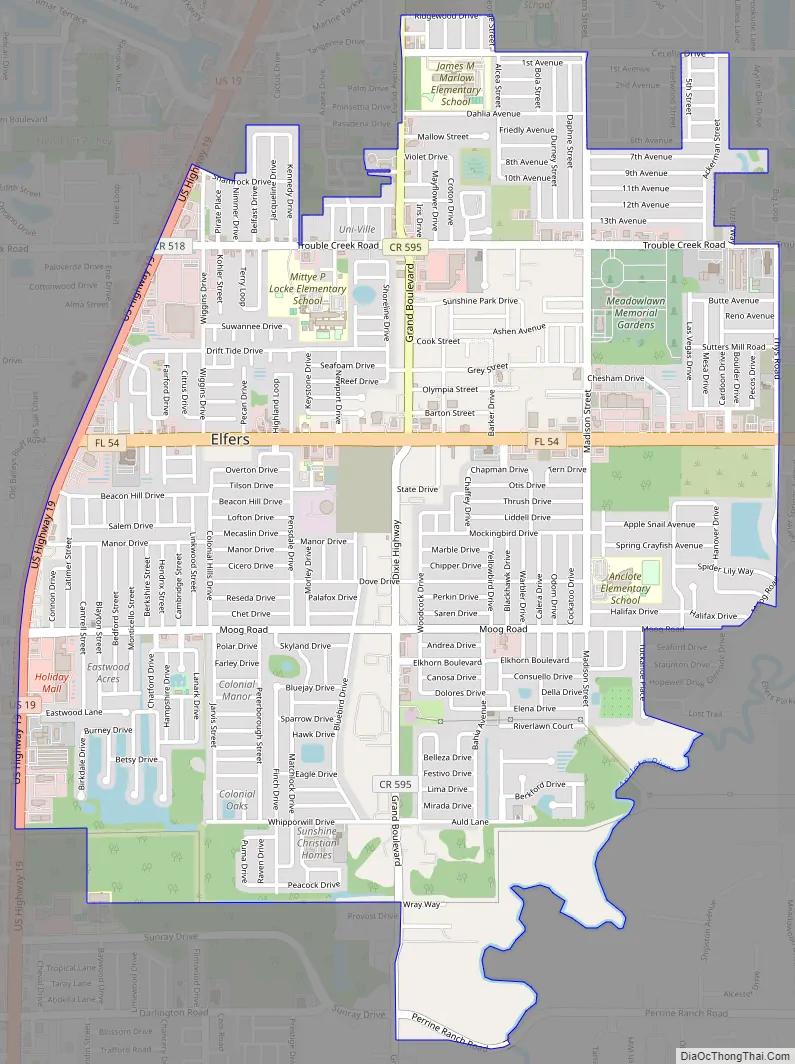
Elfers Road Map
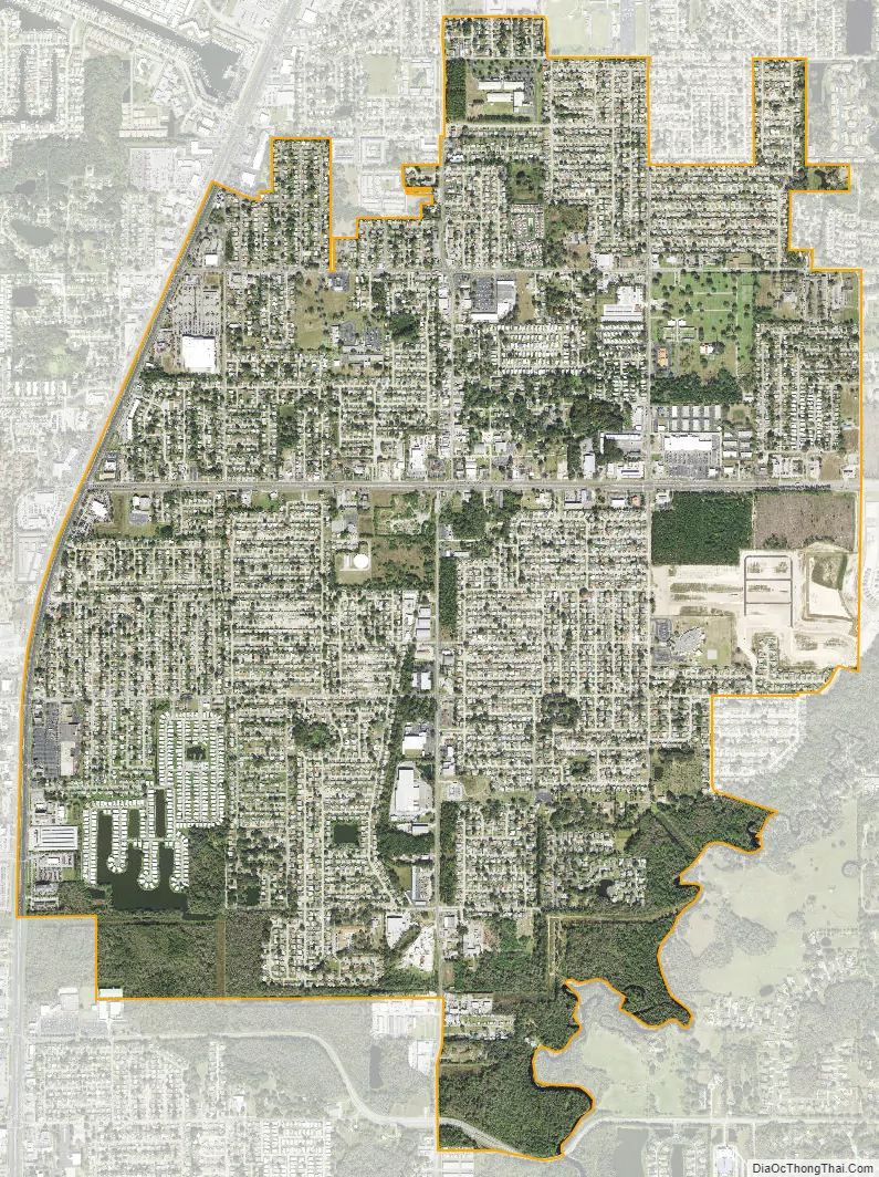
Elfers city Satellite Map
Geography
Elfers is located at 28°12′58″N 82°43′22″W / 28.21611°N 82.72278°W / 28.21611; -82.72278 (28.216072, -82.722735).
According to the United States Census Bureau, the CDP has a total area of 3.5 square miles (9.1 km), of which 3.5 square miles (9.1 km) is land and 0.04 square miles (0.10 km) (0.57%) is water.
See also
Map of Florida State and its subdivision:- Alachua
- Baker
- Bay
- Bradford
- Brevard
- Broward
- Calhoun
- Charlotte
- Citrus
- Clay
- Collier
- Columbia
- Desoto
- Dixie
- Duval
- Escambia
- Flagler
- Franklin
- Gadsden
- Gilchrist
- Glades
- Gulf
- Hamilton
- Hardee
- Hendry
- Hernando
- Highlands
- Hillsborough
- Holmes
- Indian River
- Jackson
- Jefferson
- Lafayette
- Lake
- Lee
- Leon
- Levy
- Liberty
- Madison
- Manatee
- Marion
- Martin
- Miami-Dade
- Monroe
- Nassau
- Okaloosa
- Okeechobee
- Orange
- Osceola
- Palm Beach
- Pasco
- Pinellas
- Polk
- Putnam
- Saint Johns
- Saint Lucie
- Santa Rosa
- Sarasota
- Seminole
- Sumter
- Suwannee
- Taylor
- Union
- Volusia
- Wakulla
- Walton
- Washington
- Alabama
- Alaska
- Arizona
- Arkansas
- California
- Colorado
- Connecticut
- Delaware
- District of Columbia
- Florida
- Georgia
- Hawaii
- Idaho
- Illinois
- Indiana
- Iowa
- Kansas
- Kentucky
- Louisiana
- Maine
- Maryland
- Massachusetts
- Michigan
- Minnesota
- Mississippi
- Missouri
- Montana
- Nebraska
- Nevada
- New Hampshire
- New Jersey
- New Mexico
- New York
- North Carolina
- North Dakota
- Ohio
- Oklahoma
- Oregon
- Pennsylvania
- Rhode Island
- South Carolina
- South Dakota
- Tennessee
- Texas
- Utah
- Vermont
- Virginia
- Washington
- West Virginia
- Wisconsin
- Wyoming