Fish Hawk (or FishHawk) is an unincorporated area and census-designated place (CDP) in Hillsborough County, Florida, United States. It is a suburb of Tampa, Florida, and includes a portion of the community of Lithia. As of the 2020 census, the CDP had a population of 24,625. The place name is derived from Little Fishhawk Creek, a tributary of the Alafia River that joins the Alafia just west of Lithia Springs.
| Name: | Fish Hawk CDP |
|---|---|
| LSAD Code: | 57 |
| LSAD Description: | CDP (suffix) |
| State: | Florida |
| County: | Hillsborough County |
| Elevation: | 62 ft (19 m) |
| Total Area: | 16.38 sq mi (42.43 km²) |
| Land Area: | 16.21 sq mi (42.00 km²) |
| Water Area: | 0.17 sq mi (0.43 km²) |
| Total Population: | 24,625 |
| Population Density: | 1,518.66/sq mi (586.35/km²) |
| ZIP code: | 33547 |
| Area code: | 813 |
| FIPS code: | 1222387 |
| GNISfeature ID: | 2402482 |
Online Interactive Map
Click on ![]() to view map in "full screen" mode.
to view map in "full screen" mode.
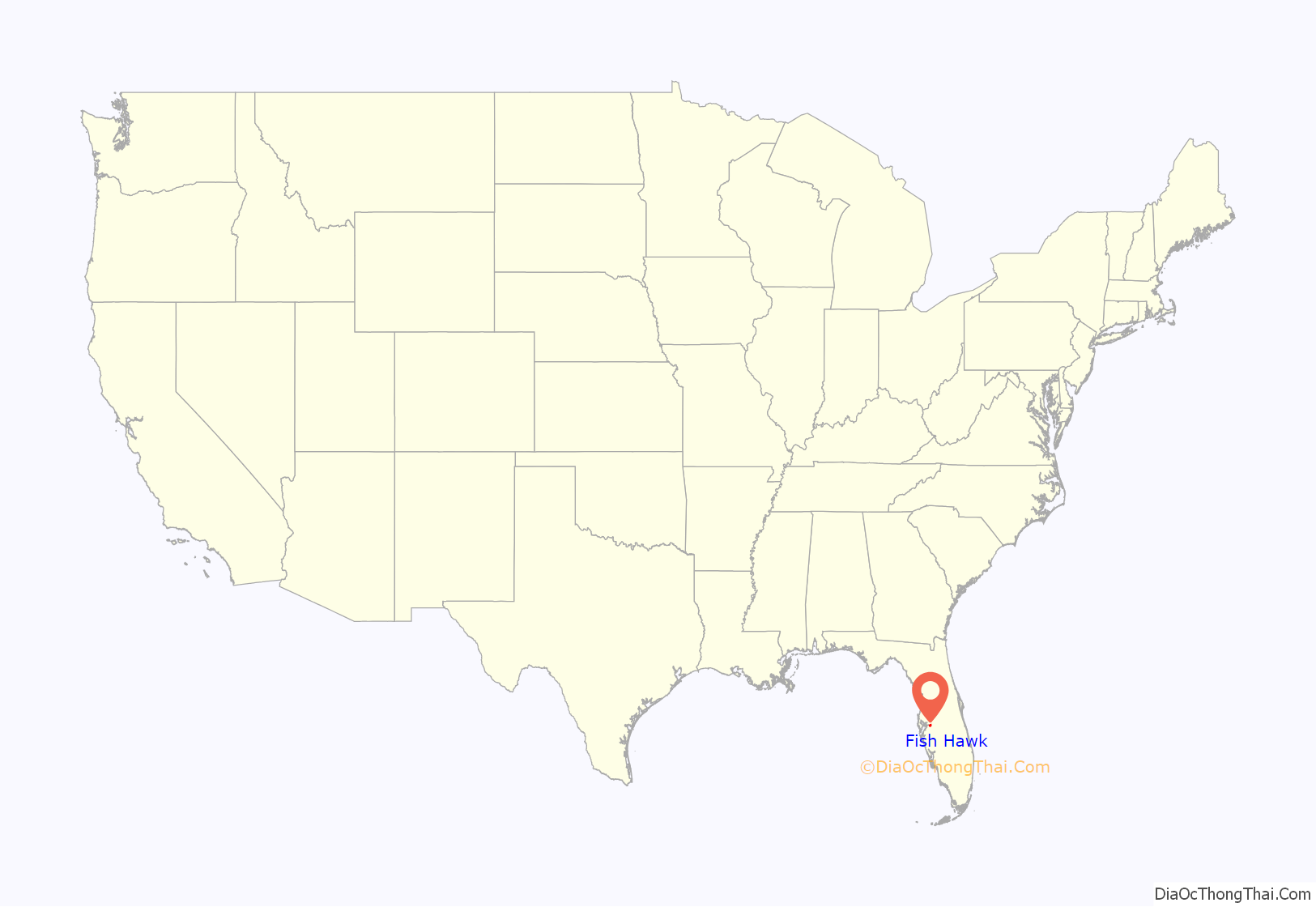
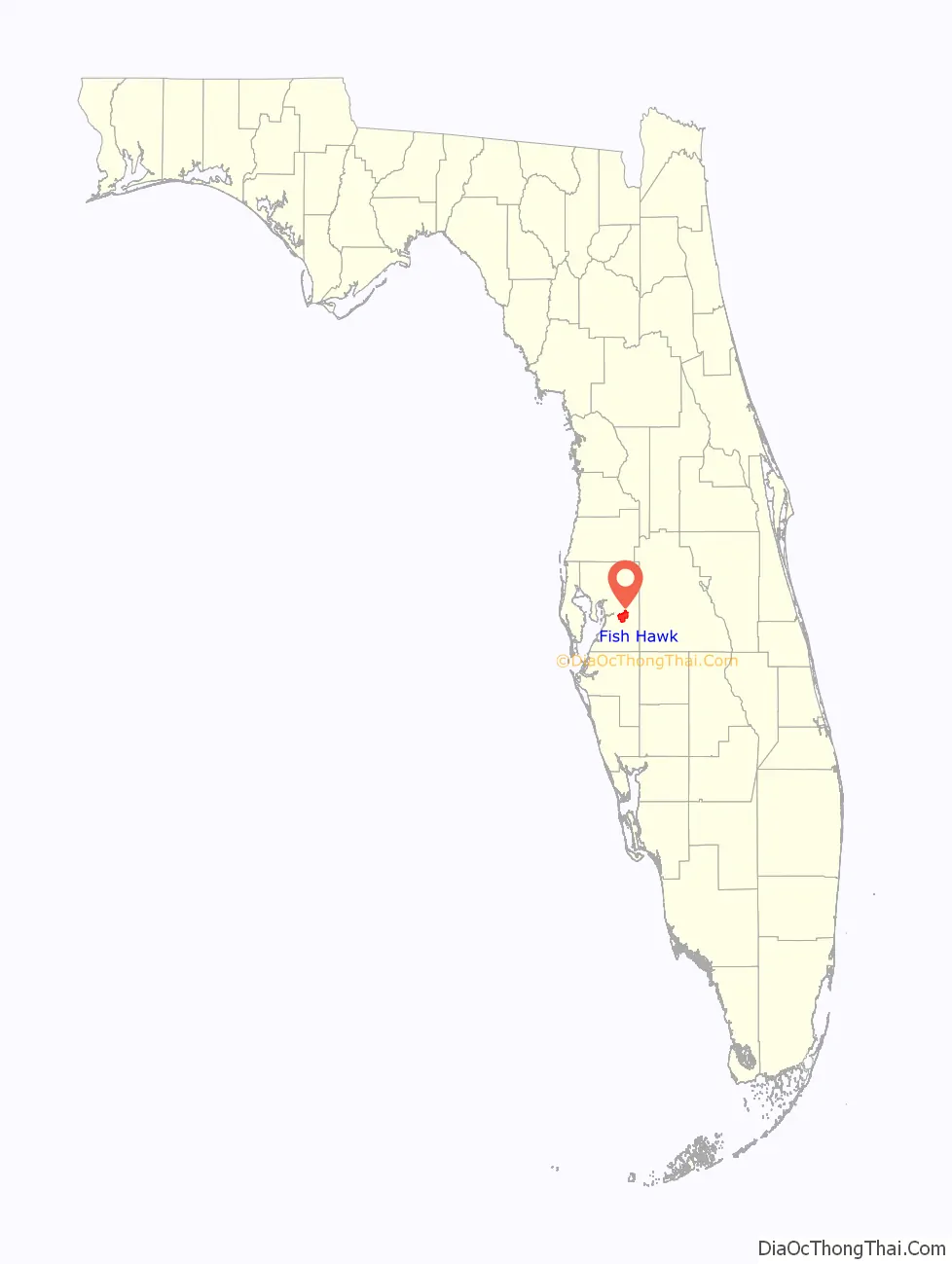
Fish Hawk location map. Where is Fish Hawk CDP?
History
FishHawk Trails and FishHawk Ranch formerly operated as a ranch; these two subdivisions were built by two different companies in the 1990s.
Before these subdivisions were constructed, FishHawk Trails was a wooded location through which a CSX Transportation rail track path passed. The rail tracks were removed in the late 1980s. There was once a train station in the FishHawk area that was the main import/export area of supplies, mail, and food for Lithia residents.
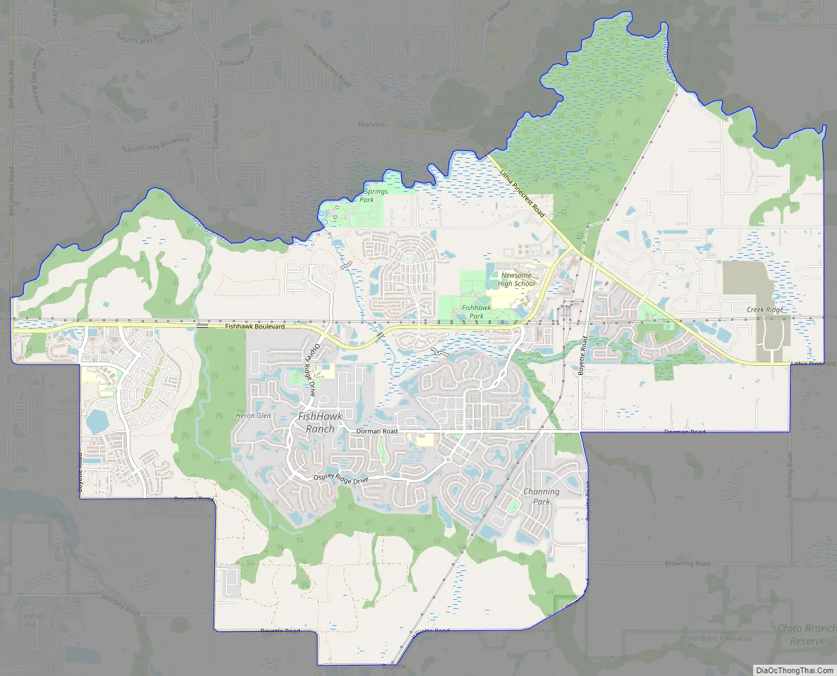
Fish Hawk Road Map
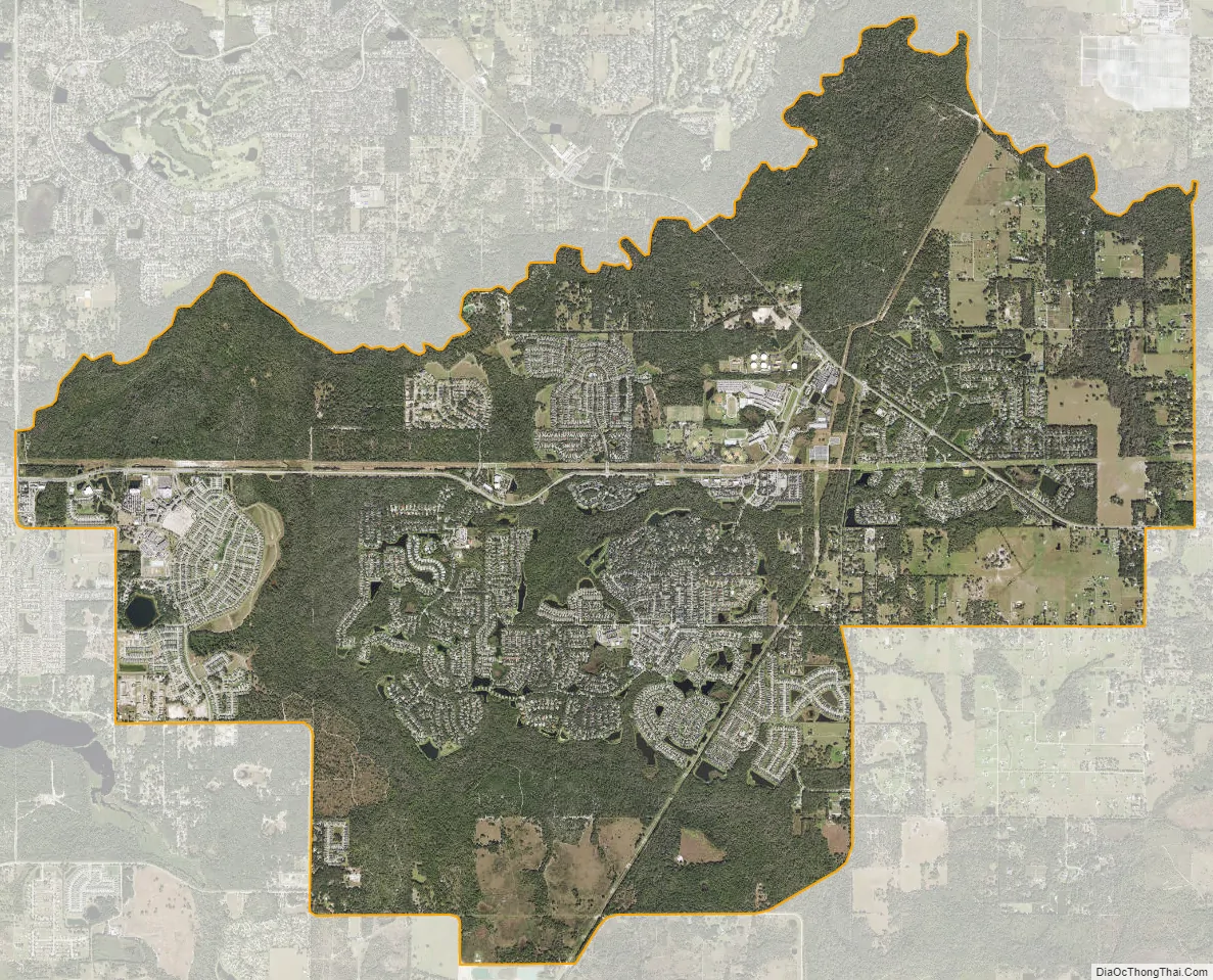
Fish Hawk city Satellite Map
Geography
FishHawk is located in east-central Hillsborough County, bordered to the north by the Alafia River, which separates it from Valrico to the north and Bloomingdale to the northwest. Boyette road borders Fish Hawk from the south and Riverview to the southwest. FishHawk is 20 miles (32 km) southeast of downtown Tampa. The older community of Lithia is in the eastern part of the CDP.
According to the United States Census Bureau, the CDP has a total area of 16.4 square miles (42.4 km), with 16.2 square miles (42.0 km) of land and 0.2 square miles (0.4 km), or 1.03%, of water.
See also
Map of Florida State and its subdivision:- Alachua
- Baker
- Bay
- Bradford
- Brevard
- Broward
- Calhoun
- Charlotte
- Citrus
- Clay
- Collier
- Columbia
- Desoto
- Dixie
- Duval
- Escambia
- Flagler
- Franklin
- Gadsden
- Gilchrist
- Glades
- Gulf
- Hamilton
- Hardee
- Hendry
- Hernando
- Highlands
- Hillsborough
- Holmes
- Indian River
- Jackson
- Jefferson
- Lafayette
- Lake
- Lee
- Leon
- Levy
- Liberty
- Madison
- Manatee
- Marion
- Martin
- Miami-Dade
- Monroe
- Nassau
- Okaloosa
- Okeechobee
- Orange
- Osceola
- Palm Beach
- Pasco
- Pinellas
- Polk
- Putnam
- Saint Johns
- Saint Lucie
- Santa Rosa
- Sarasota
- Seminole
- Sumter
- Suwannee
- Taylor
- Union
- Volusia
- Wakulla
- Walton
- Washington
- Alabama
- Alaska
- Arizona
- Arkansas
- California
- Colorado
- Connecticut
- Delaware
- District of Columbia
- Florida
- Georgia
- Hawaii
- Idaho
- Illinois
- Indiana
- Iowa
- Kansas
- Kentucky
- Louisiana
- Maine
- Maryland
- Massachusetts
- Michigan
- Minnesota
- Mississippi
- Missouri
- Montana
- Nebraska
- Nevada
- New Hampshire
- New Jersey
- New Mexico
- New York
- North Carolina
- North Dakota
- Ohio
- Oklahoma
- Oregon
- Pennsylvania
- Rhode Island
- South Carolina
- South Dakota
- Tennessee
- Texas
- Utah
- Vermont
- Virginia
- Washington
- West Virginia
- Wisconsin
- Wyoming


