Goldenrod is a census-designated place (CDP) in Orange and Seminole counties in the U.S. state of Florida. The population was 12,039 at the 2010 census. It is part of the Orlando–Kissimmee–Sanford, Florida Metropolitan Statistical Area.
| Name: | Goldenrod CDP |
|---|---|
| LSAD Code: | 57 |
| LSAD Description: | CDP (suffix) |
| State: | Florida |
| County: | Orange County, Seminole County |
| Elevation: | 85 ft (26 m) |
| Total Area: | 2.68 sq mi (6.95 km²) |
| Land Area: | 2.52 sq mi (6.54 km²) |
| Water Area: | 0.16 sq mi (0.42 km²) |
| Total Population: | 13,431 |
| Population Density: | 5,321.32/sq mi (2,054.32/km²) |
| ZIP code: | 32733 |
| Area code: | 407, 689 |
| FIPS code: | 1226475 |
| GNISfeature ID: | 2402536 |
Online Interactive Map
Click on ![]() to view map in "full screen" mode.
to view map in "full screen" mode.
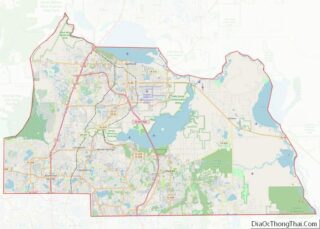
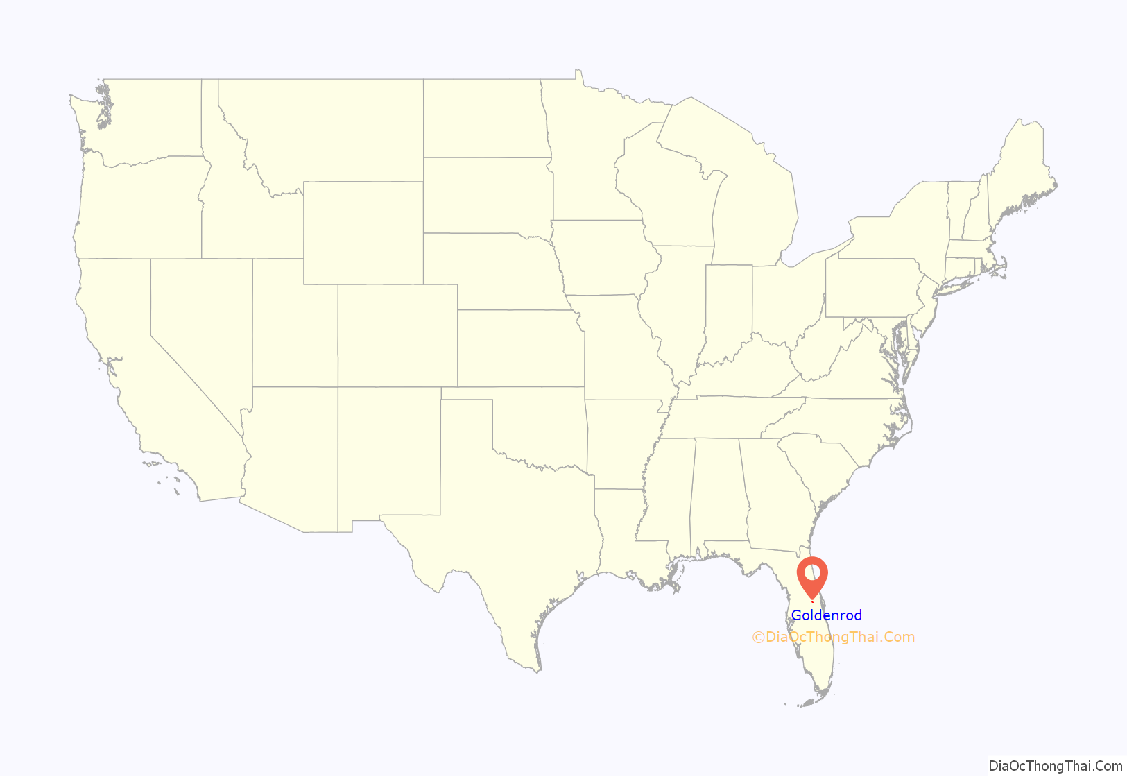
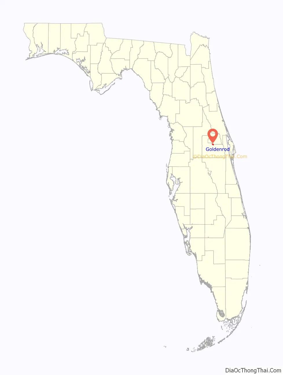
Goldenrod location map. Where is Goldenrod CDP?
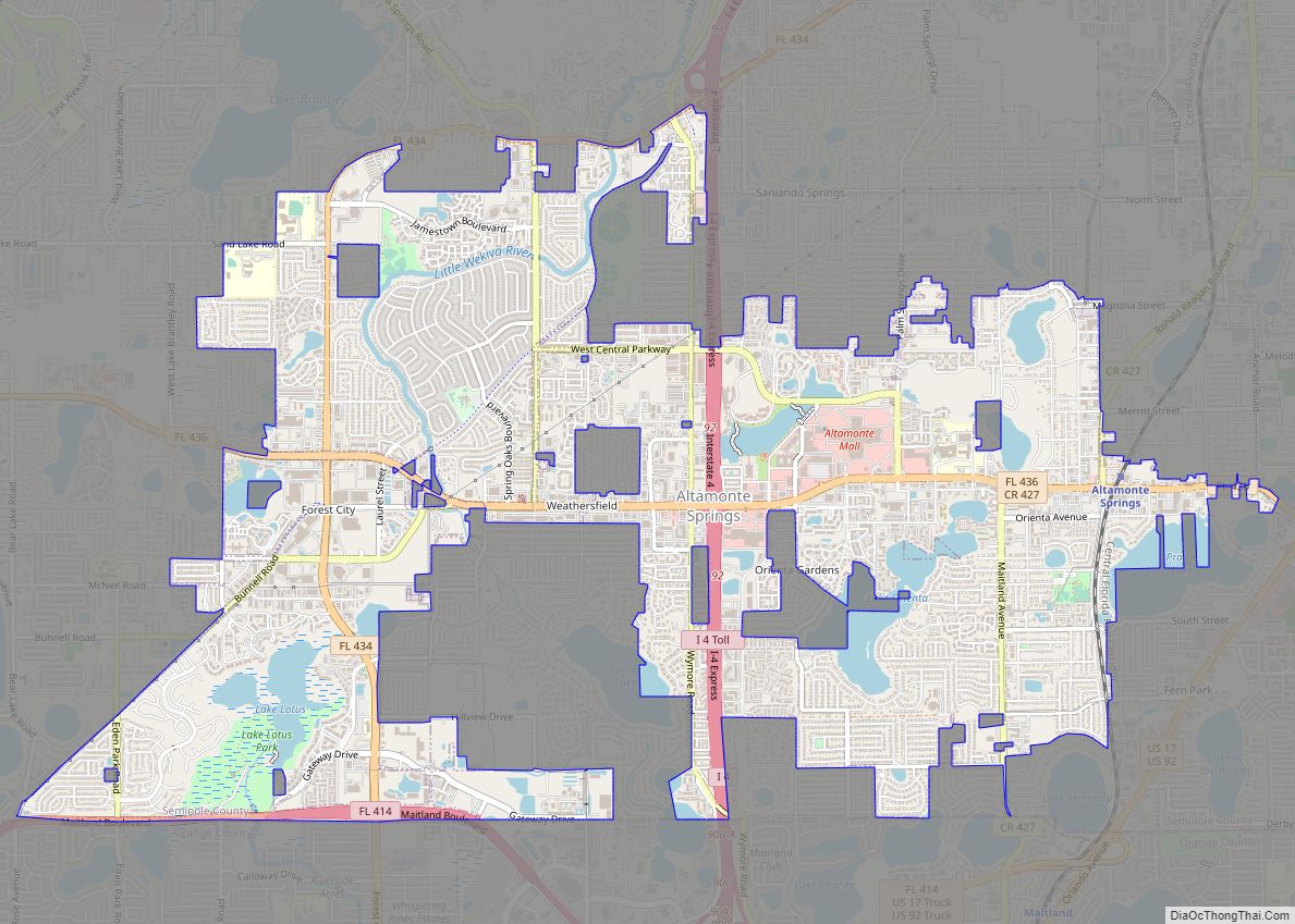
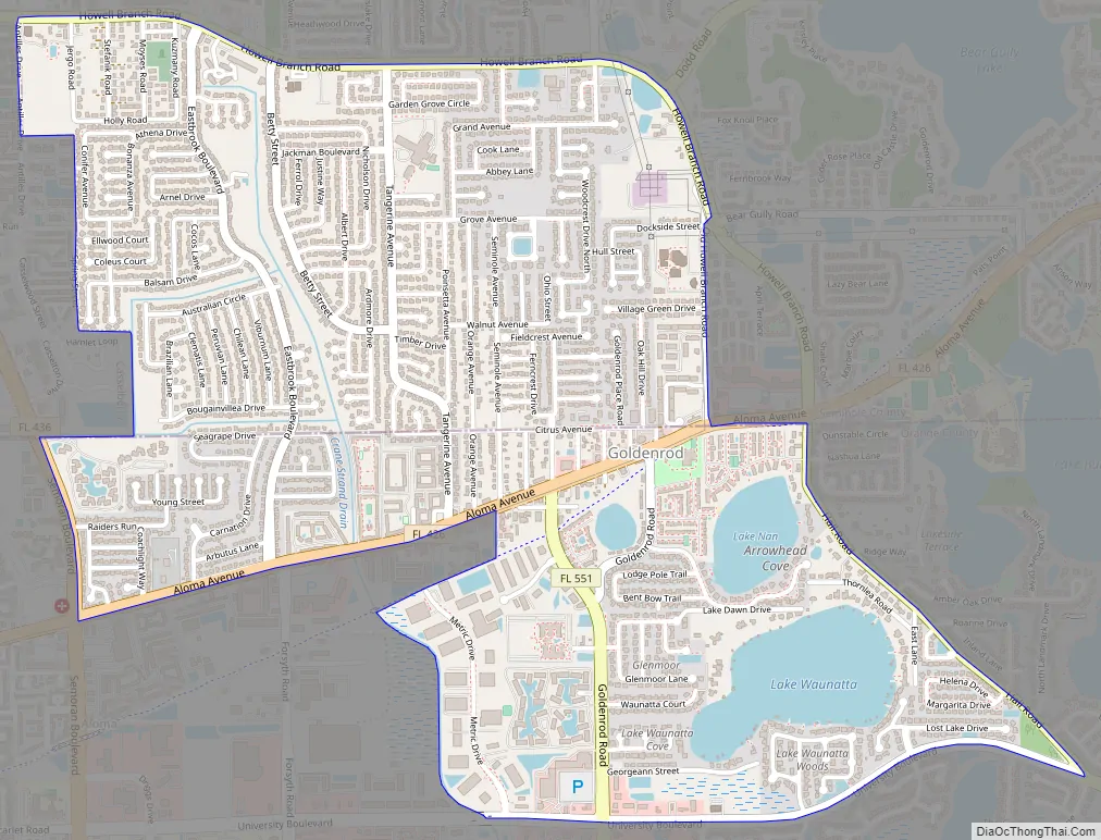
Goldenrod Road Map
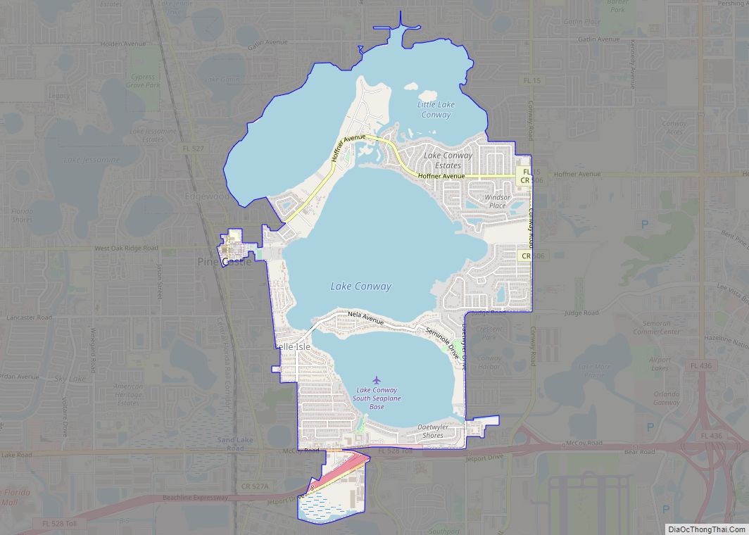
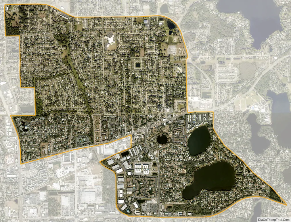
Goldenrod city Satellite Map
Geography
According to the United States Census Bureau, the CDP has a total area of 7.0 km (2.7 mi²), of which 6.7 km (2.6 mi²) is land and 0.3 km (0.1 mi²) (4.78%) is water.
See also
Map of Florida State and its subdivision:- Alachua
- Baker
- Bay
- Bradford
- Brevard
- Broward
- Calhoun
- Charlotte
- Citrus
- Clay
- Collier
- Columbia
- Desoto
- Dixie
- Duval
- Escambia
- Flagler
- Franklin
- Gadsden
- Gilchrist
- Glades
- Gulf
- Hamilton
- Hardee
- Hendry
- Hernando
- Highlands
- Hillsborough
- Holmes
- Indian River
- Jackson
- Jefferson
- Lafayette
- Lake
- Lee
- Leon
- Levy
- Liberty
- Madison
- Manatee
- Marion
- Martin
- Miami-Dade
- Monroe
- Nassau
- Okaloosa
- Okeechobee
- Orange
- Osceola
- Palm Beach
- Pasco
- Pinellas
- Polk
- Putnam
- Saint Johns
- Saint Lucie
- Santa Rosa
- Sarasota
- Seminole
- Sumter
- Suwannee
- Taylor
- Union
- Volusia
- Wakulla
- Walton
- Washington
- Alabama
- Alaska
- Arizona
- Arkansas
- California
- Colorado
- Connecticut
- Delaware
- District of Columbia
- Florida
- Georgia
- Hawaii
- Idaho
- Illinois
- Indiana
- Iowa
- Kansas
- Kentucky
- Louisiana
- Maine
- Maryland
- Massachusetts
- Michigan
- Minnesota
- Mississippi
- Missouri
- Montana
- Nebraska
- Nevada
- New Hampshire
- New Jersey
- New Mexico
- New York
- North Carolina
- North Dakota
- Ohio
- Oklahoma
- Oregon
- Pennsylvania
- Rhode Island
- South Carolina
- South Dakota
- Tennessee
- Texas
- Utah
- Vermont
- Virginia
- Washington
- West Virginia
- Wisconsin
- Wyoming