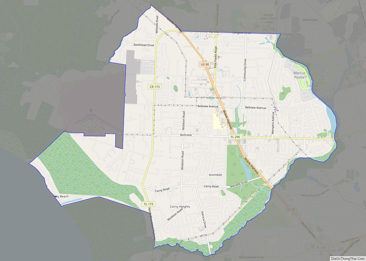
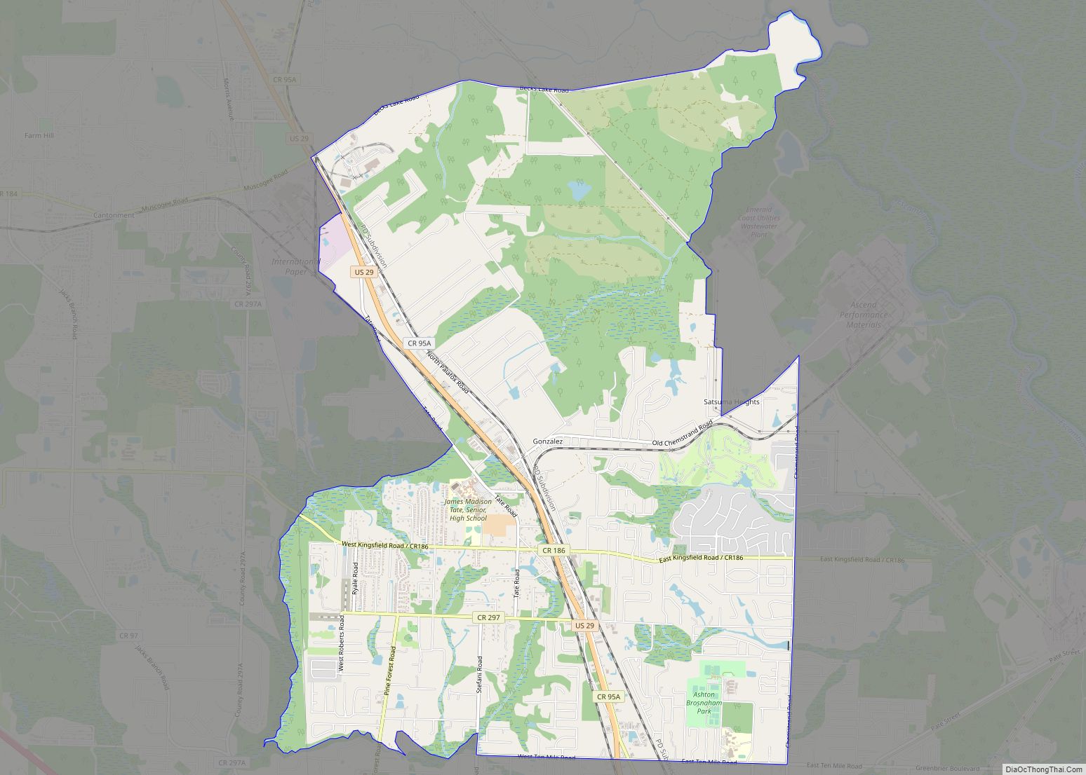
Gonzalez is a census-designated place (CDP) in Escambia County, Florida. Gonzalez is located north of Pensacola, and is considered to be within Cantonment. Tate High School, the largest public school in Escambia County, is located in the Gonzalez area. As of the 2020 United States Census, the population was 14,586.
| Name: | Gonzalez CDP |
|---|---|
| LSAD Code: | 57 |
| LSAD Description: | CDP (suffix) |
| State: | Florida |
| County: | Escambia County |
| Elevation: | 151 ft (46 m) |
| Total Area: | 15.35 sq mi (39.76 km²) |
| Land Area: | 15.14 sq mi (39.21 km²) |
| Water Area: | 0.21 sq mi (0.54 km²) |
| Total Population: | 14,586 |
| Population Density: | 963.34/sq mi (371.96/km²) |
| ZIP code: | 32560 |
| Area code: | 850 |
| FIPS code: | 1226700 |
| GNISfeature ID: | 0283169 |
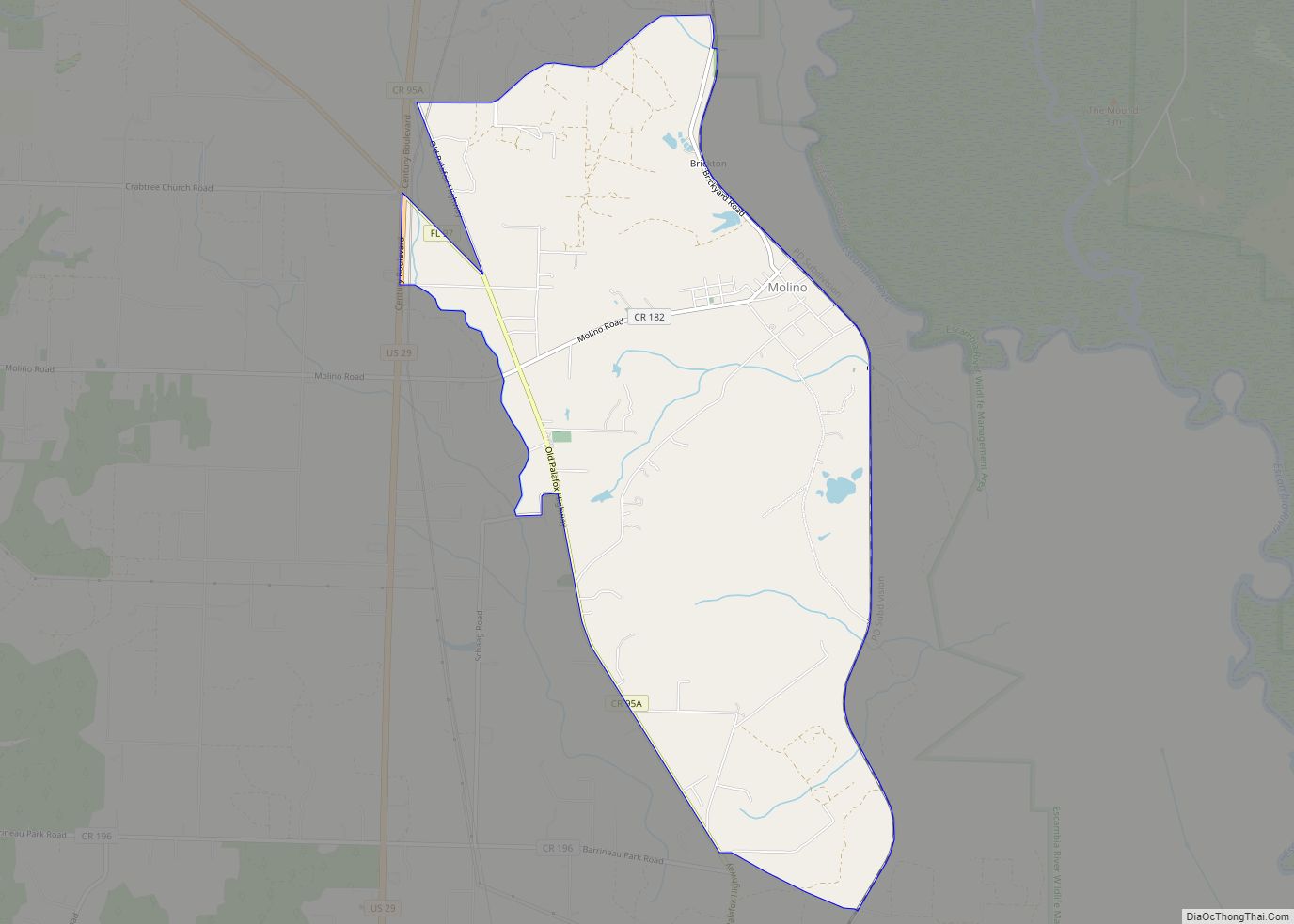
Online Interactive Map
Click on ![]() to view map in "full screen" mode.
to view map in "full screen" mode.
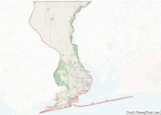
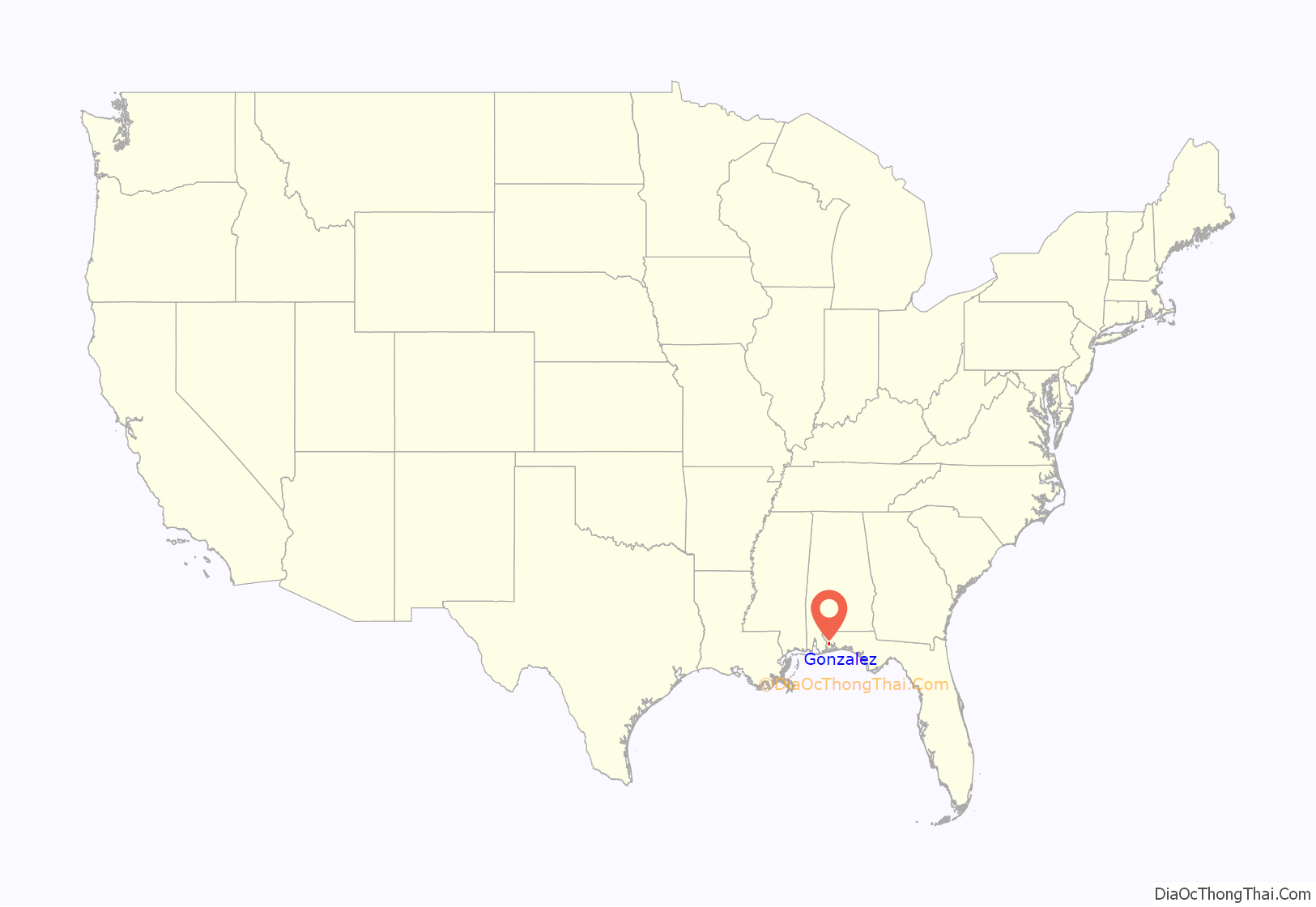
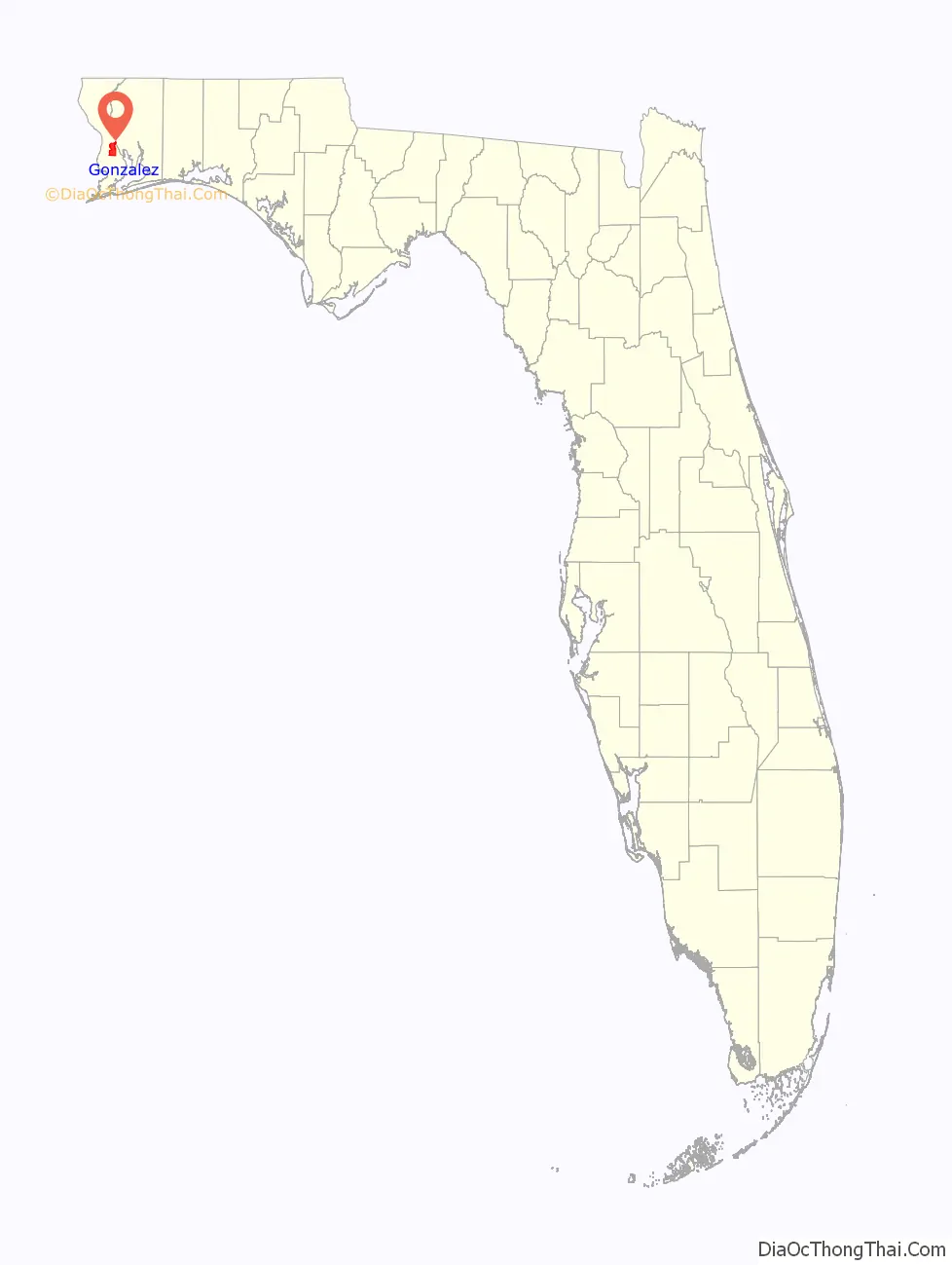
Gonzalez location map. Where is Gonzalez CDP?
History
The village of Gonzalez has also been called Gonzalia, named after the Gonzalez family who owned a farm in the area. Manuel Gonzalez, the patriarch of the family, was originally from Spain. He had arrived in the New World sometime around 1790. He served as an Indian Agent under Francisco Bouligny in New Orleans, before eventually arriving in Pensacola.
During the American Civil War, Gonzalez was home to a Confederate storage facility run by Manuel Gonzalez’s son, Samuel Z. Gonzalez. The Gonzalez farm was also the location of a military skirmish between Union forces headquartered out of Fort Barrancas and Confederate troops.
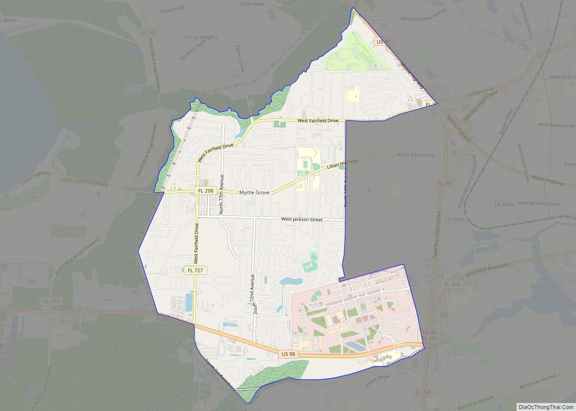
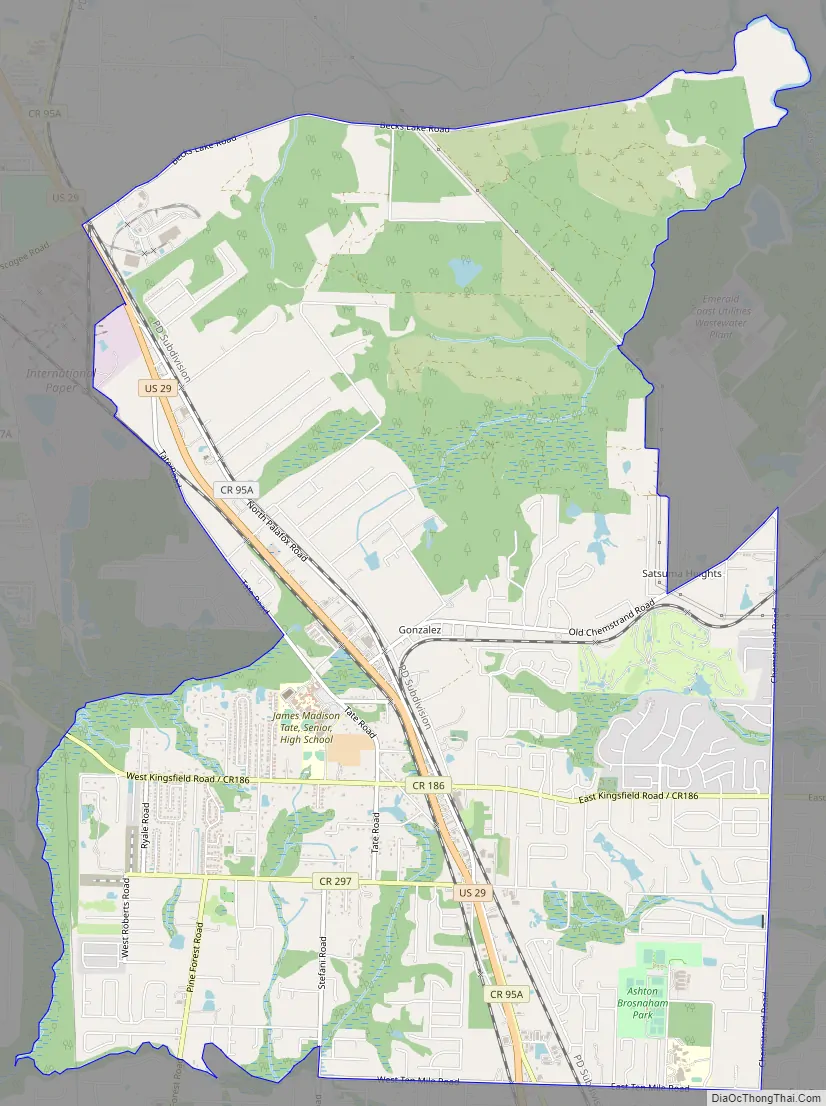
Gonzalez Road Map
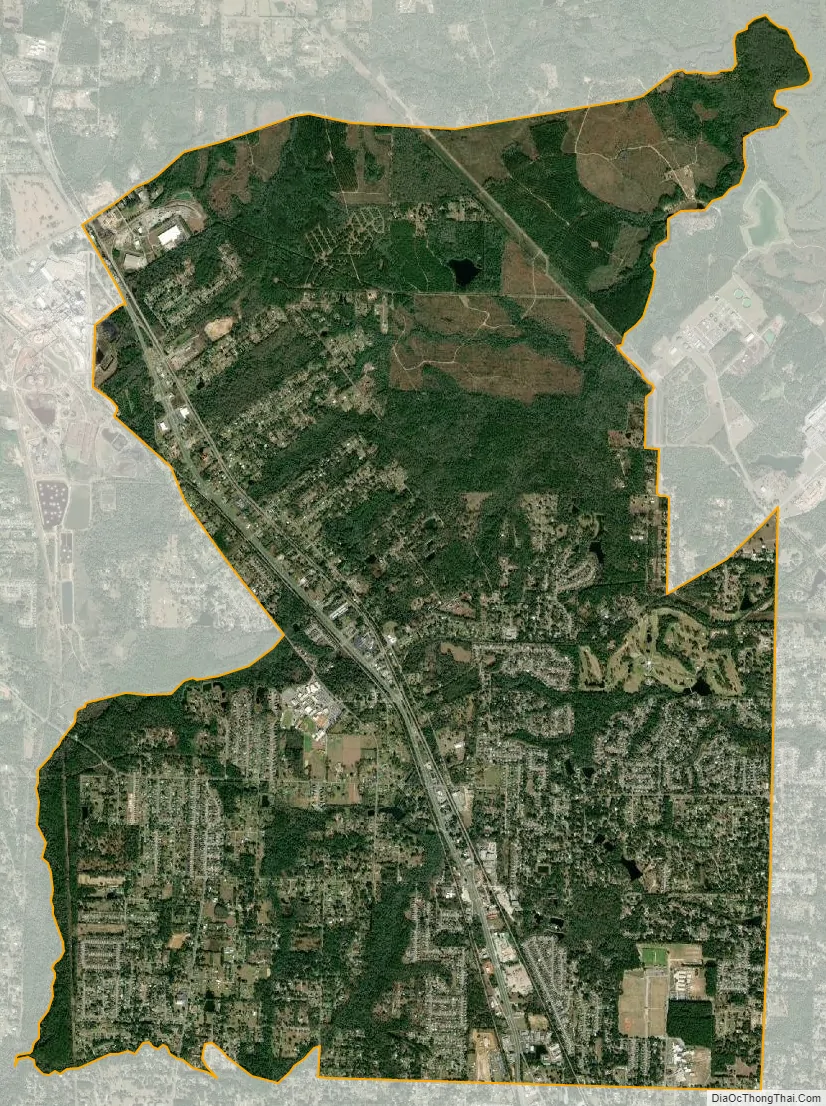
Gonzalez city Satellite Map
Geography
Gonzalez is located at 30°34′28″N 87°17′24″W / 30.57444°N 87.29000°W / 30.57444; -87.29000 (30.574386, -87.290031).
According to the United States Census Bureau, the CDP has a total area of 15.3 square miles (39.7 km), of which 15.1 square miles (39.1 km) is land and 0.19 square miles (0.5 km), or 1.37%, is water.
See also
Map of Florida State and its subdivision:- Alachua
- Baker
- Bay
- Bradford
- Brevard
- Broward
- Calhoun
- Charlotte
- Citrus
- Clay
- Collier
- Columbia
- Desoto
- Dixie
- Duval
- Escambia
- Flagler
- Franklin
- Gadsden
- Gilchrist
- Glades
- Gulf
- Hamilton
- Hardee
- Hendry
- Hernando
- Highlands
- Hillsborough
- Holmes
- Indian River
- Jackson
- Jefferson
- Lafayette
- Lake
- Lee
- Leon
- Levy
- Liberty
- Madison
- Manatee
- Marion
- Martin
- Miami-Dade
- Monroe
- Nassau
- Okaloosa
- Okeechobee
- Orange
- Osceola
- Palm Beach
- Pasco
- Pinellas
- Polk
- Putnam
- Saint Johns
- Saint Lucie
- Santa Rosa
- Sarasota
- Seminole
- Sumter
- Suwannee
- Taylor
- Union
- Volusia
- Wakulla
- Walton
- Washington
- Alabama
- Alaska
- Arizona
- Arkansas
- California
- Colorado
- Connecticut
- Delaware
- District of Columbia
- Florida
- Georgia
- Hawaii
- Idaho
- Illinois
- Indiana
- Iowa
- Kansas
- Kentucky
- Louisiana
- Maine
- Maryland
- Massachusetts
- Michigan
- Minnesota
- Mississippi
- Missouri
- Montana
- Nebraska
- Nevada
- New Hampshire
- New Jersey
- New Mexico
- New York
- North Carolina
- North Dakota
- Ohio
- Oklahoma
- Oregon
- Pennsylvania
- Rhode Island
- South Carolina
- South Dakota
- Tennessee
- Texas
- Utah
- Vermont
- Virginia
- Washington
- West Virginia
- Wisconsin
- Wyoming