Holiday is a census-designated place (CDP) in Pasco County, Florida, United States. It is a suburb of the Tampa-St. Petersburg-Clearwater, Florida Metropolitan Statistical Area. The population was 22,403 as of the 2010 census.
In the early 1960s, William W. Boyd, president of First Federal Savings and Loan Association of Tarpon Springs, noted the name Holiday Drive on a map near the site of the proposed branch to be built in southwestern Pasco County and asked his board of directors to give the name to the new branch. Later Boyd began drumming up support to name the community Holiday.
| Name: | Holiday CDP |
|---|---|
| LSAD Code: | 57 |
| LSAD Description: | CDP (suffix) |
| State: | Florida |
| County: | Pasco County |
| Elevation: | 16 ft (5 m) |
| Total Area: | 5.70 sq mi (14.76 km²) |
| Land Area: | 5.35 sq mi (13.85 km²) |
| Water Area: | 0.35 sq mi (0.90 km²) |
| Total Population: | 24,939 |
| Population Density: | 4,662.37/sq mi (1,800.12/km²) |
| ZIP code: | 34690-34691 |
| Area code: | 727 |
| FIPS code: | 1231075 |
| GNISfeature ID: | 0284144 |
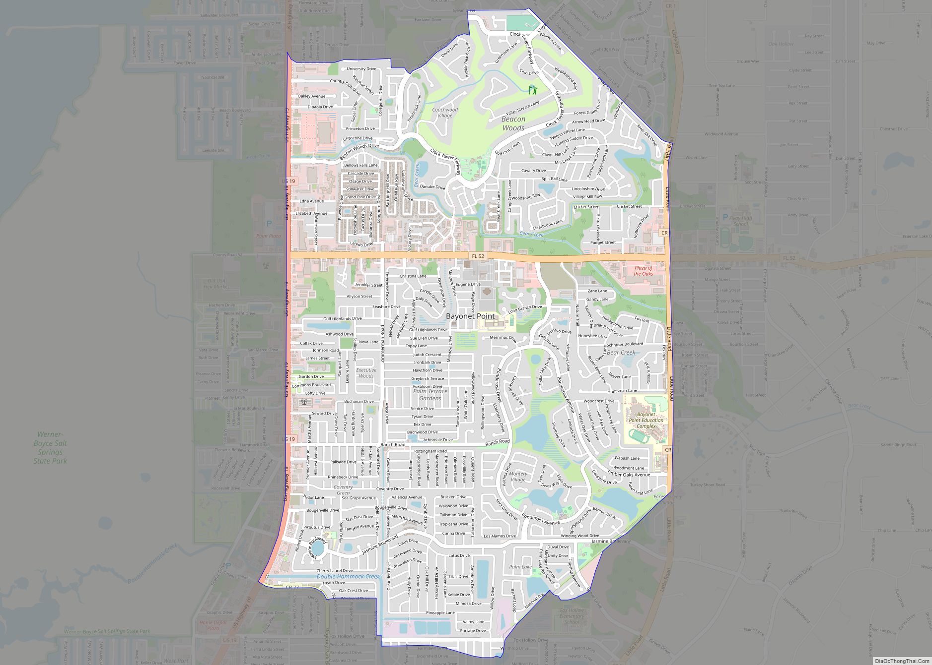
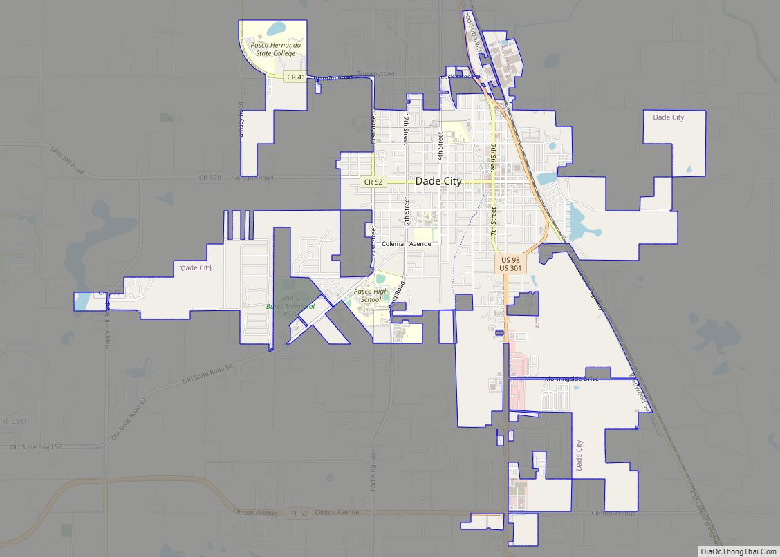
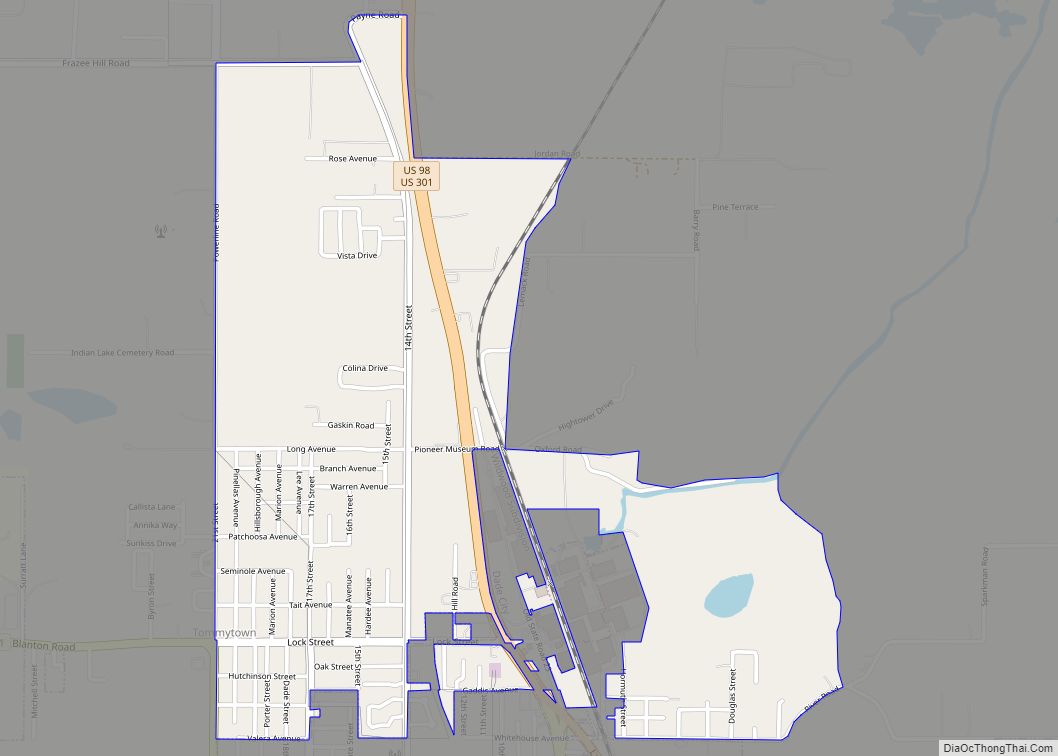
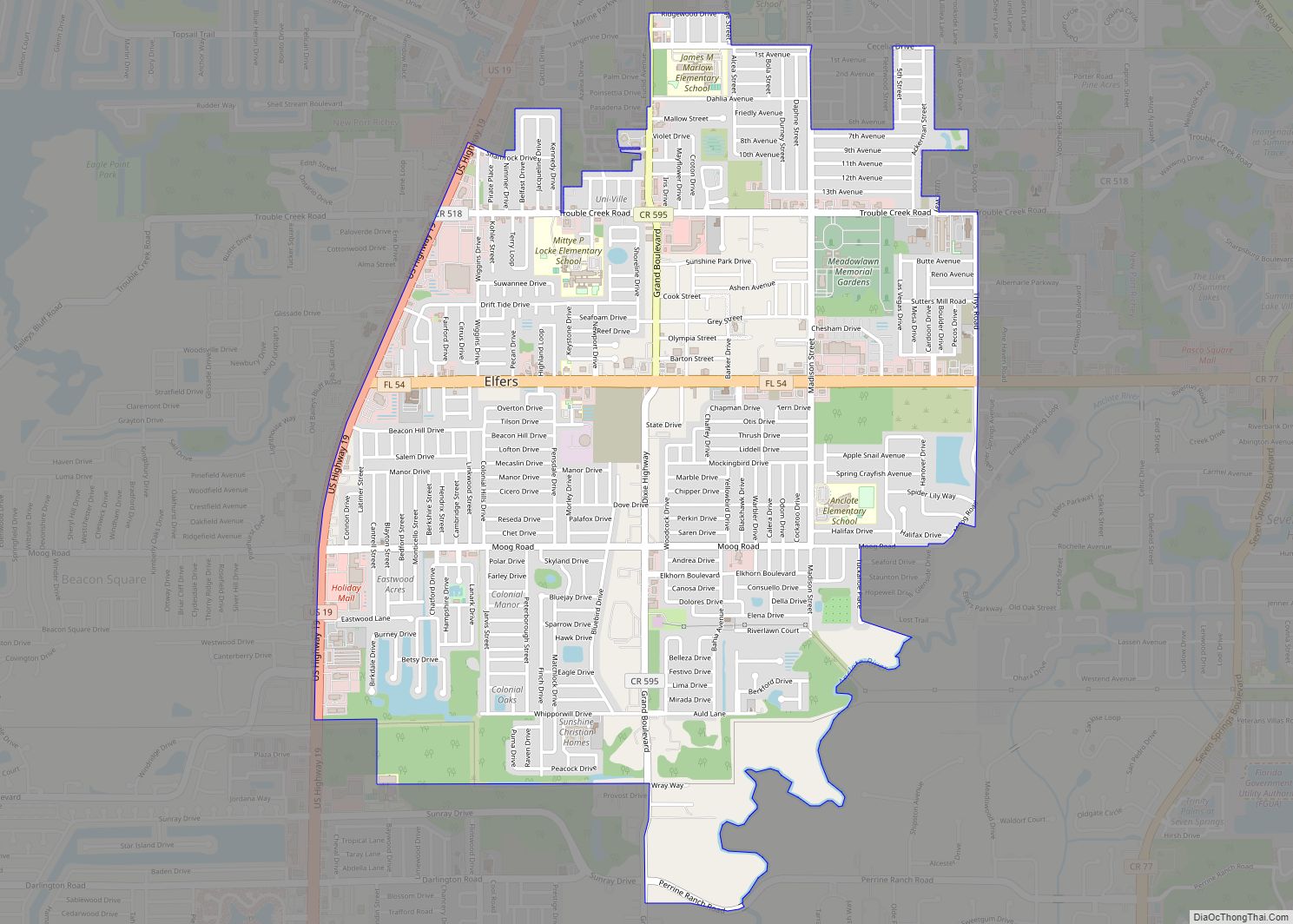
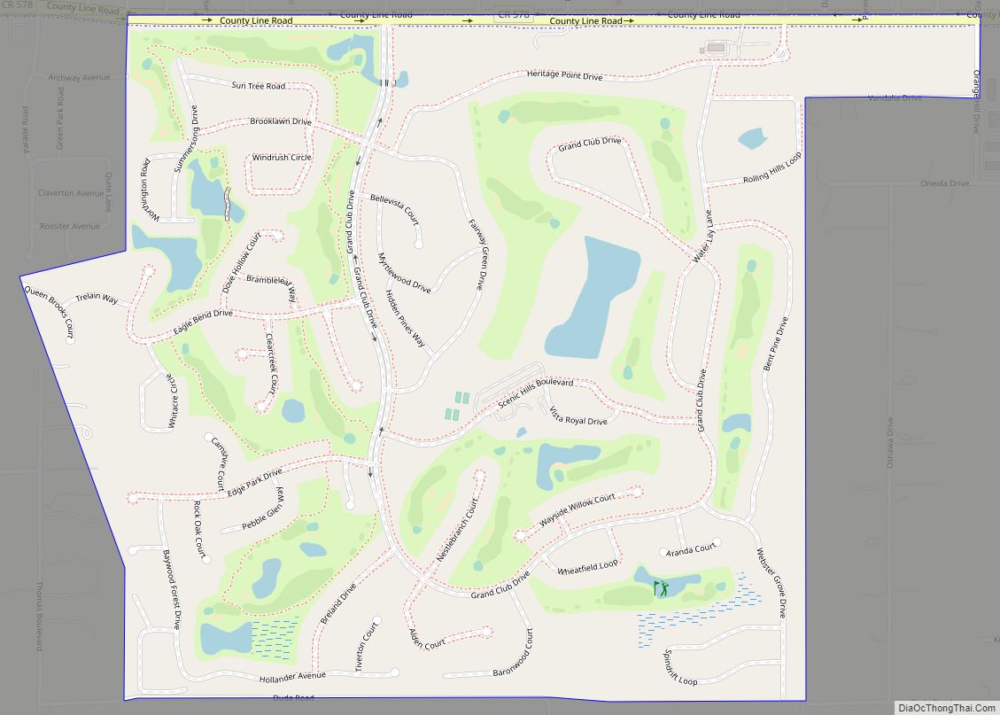
Online Interactive Map
Click on ![]() to view map in "full screen" mode.
to view map in "full screen" mode.
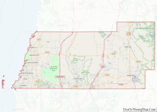
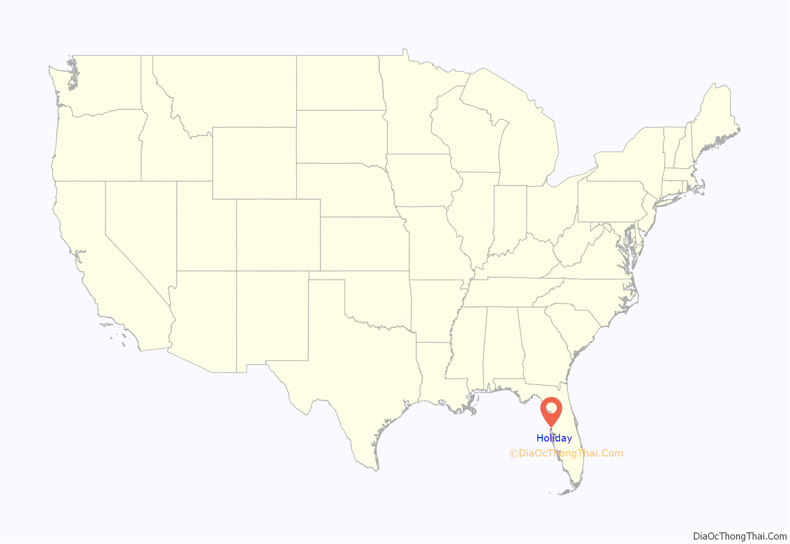
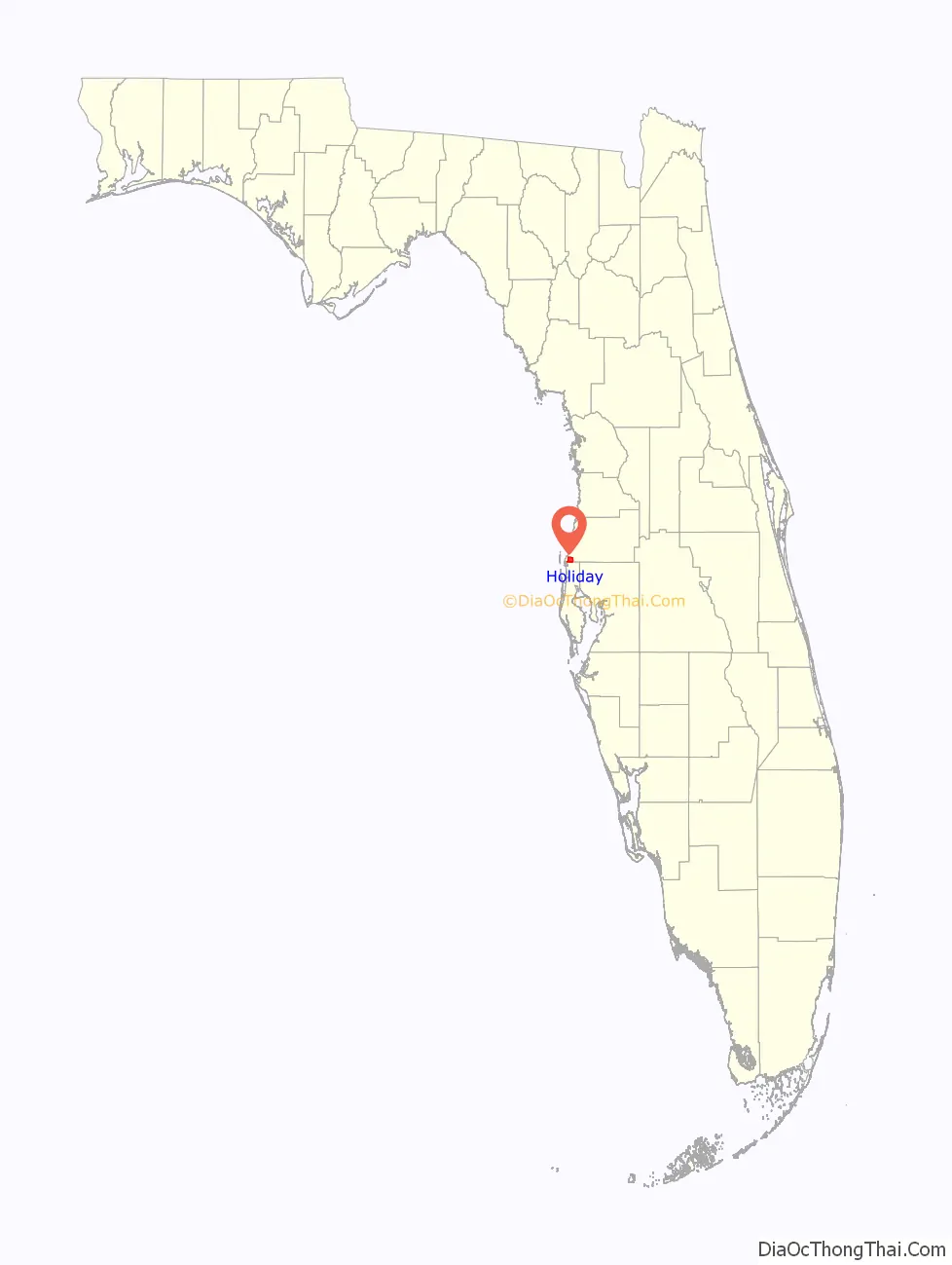
Holiday location map. Where is Holiday CDP?
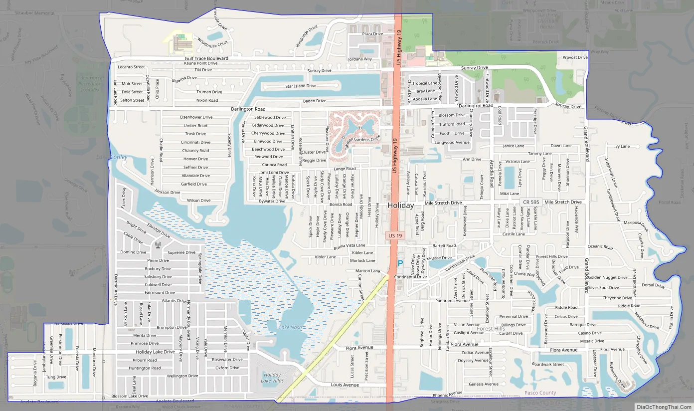
Holiday Road Map
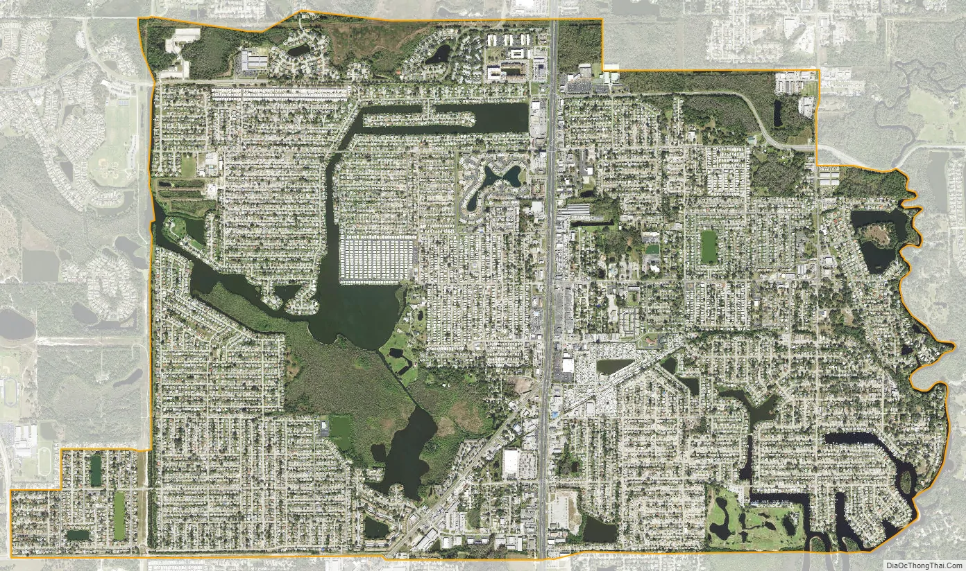
Holiday city Satellite Map
Geography
Holiday is located in west central Florida northwest of Tampa Bay on the Gulf of Mexico, at 28°11′2″N 82°44′34″W / 28.18389°N 82.74278°W / 28.18389; -82.74278 (28.183890, −82.742886).
See also
Map of Florida State and its subdivision:- Alachua
- Baker
- Bay
- Bradford
- Brevard
- Broward
- Calhoun
- Charlotte
- Citrus
- Clay
- Collier
- Columbia
- Desoto
- Dixie
- Duval
- Escambia
- Flagler
- Franklin
- Gadsden
- Gilchrist
- Glades
- Gulf
- Hamilton
- Hardee
- Hendry
- Hernando
- Highlands
- Hillsborough
- Holmes
- Indian River
- Jackson
- Jefferson
- Lafayette
- Lake
- Lee
- Leon
- Levy
- Liberty
- Madison
- Manatee
- Marion
- Martin
- Miami-Dade
- Monroe
- Nassau
- Okaloosa
- Okeechobee
- Orange
- Osceola
- Palm Beach
- Pasco
- Pinellas
- Polk
- Putnam
- Saint Johns
- Saint Lucie
- Santa Rosa
- Sarasota
- Seminole
- Sumter
- Suwannee
- Taylor
- Union
- Volusia
- Wakulla
- Walton
- Washington
- Alabama
- Alaska
- Arizona
- Arkansas
- California
- Colorado
- Connecticut
- Delaware
- District of Columbia
- Florida
- Georgia
- Hawaii
- Idaho
- Illinois
- Indiana
- Iowa
- Kansas
- Kentucky
- Louisiana
- Maine
- Maryland
- Massachusetts
- Michigan
- Minnesota
- Mississippi
- Missouri
- Montana
- Nebraska
- Nevada
- New Hampshire
- New Jersey
- New Mexico
- New York
- North Carolina
- North Dakota
- Ohio
- Oklahoma
- Oregon
- Pennsylvania
- Rhode Island
- South Carolina
- South Dakota
- Tennessee
- Texas
- Utah
- Vermont
- Virginia
- Washington
- West Virginia
- Wisconsin
- Wyoming