Hudson is a census-designated place (CDP) located at the westernmost end of Pasco County, Florida, United States, and is included in the Tampa-St. Petersburg-Clearwater, Florida Metropolitan Statistical Area. As of the 2010 census, Hudson’s population was 12,158.
| Name: | Hudson CDP |
|---|---|
| LSAD Code: | 57 |
| LSAD Description: | CDP (suffix) |
| State: | Florida |
| County: | Pasco County |
| Elevation: | 10 ft (3 m) |
| Total Area: | 6.37 sq mi (16.49 km²) |
| Land Area: | 6.35 sq mi (16.44 km²) |
| Water Area: | 0.02 sq mi (0.04 km²) 1.27% |
| Total Population: | 12,944 |
| Population Density: | 2,038.75/sq mi (787.20/km²) |
| ZIP code: | 34667, 34669, 34674 |
| Area code: | 727 |
| FIPS code: | 1232825 |
| GNISfeature ID: | 0284369 |
| Website: | www.hudsonfla.com |
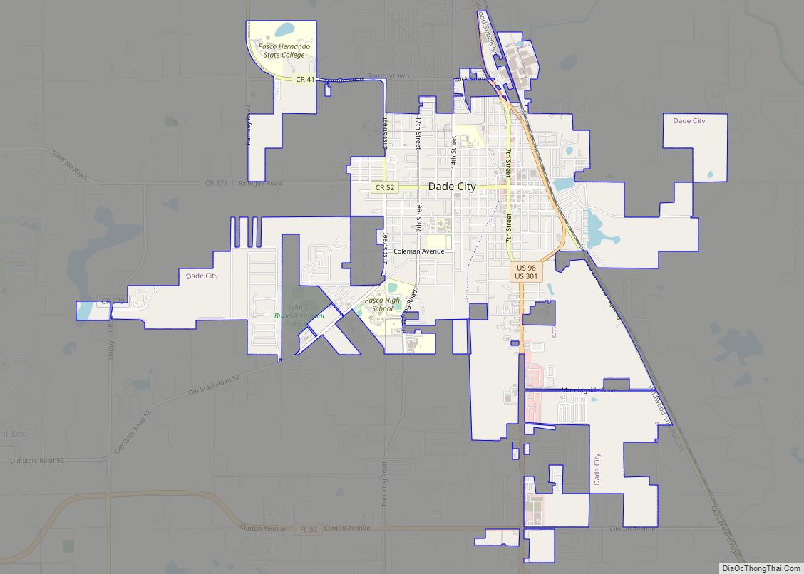
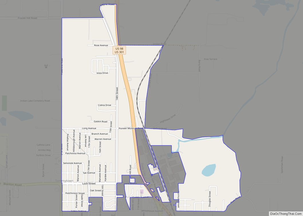
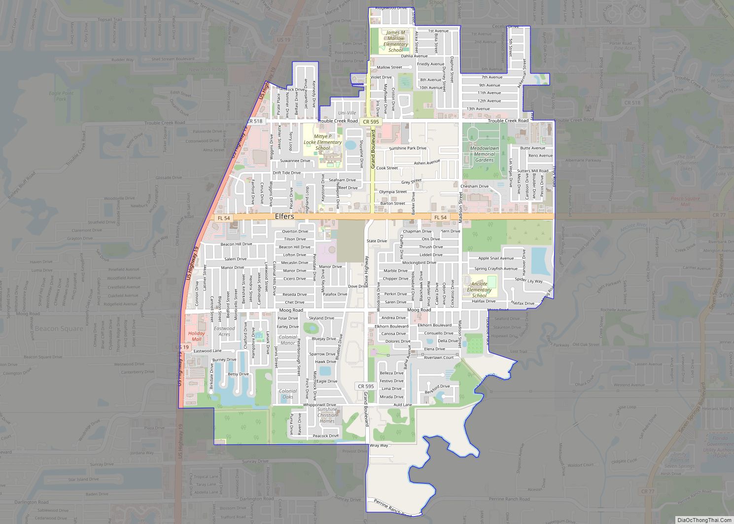
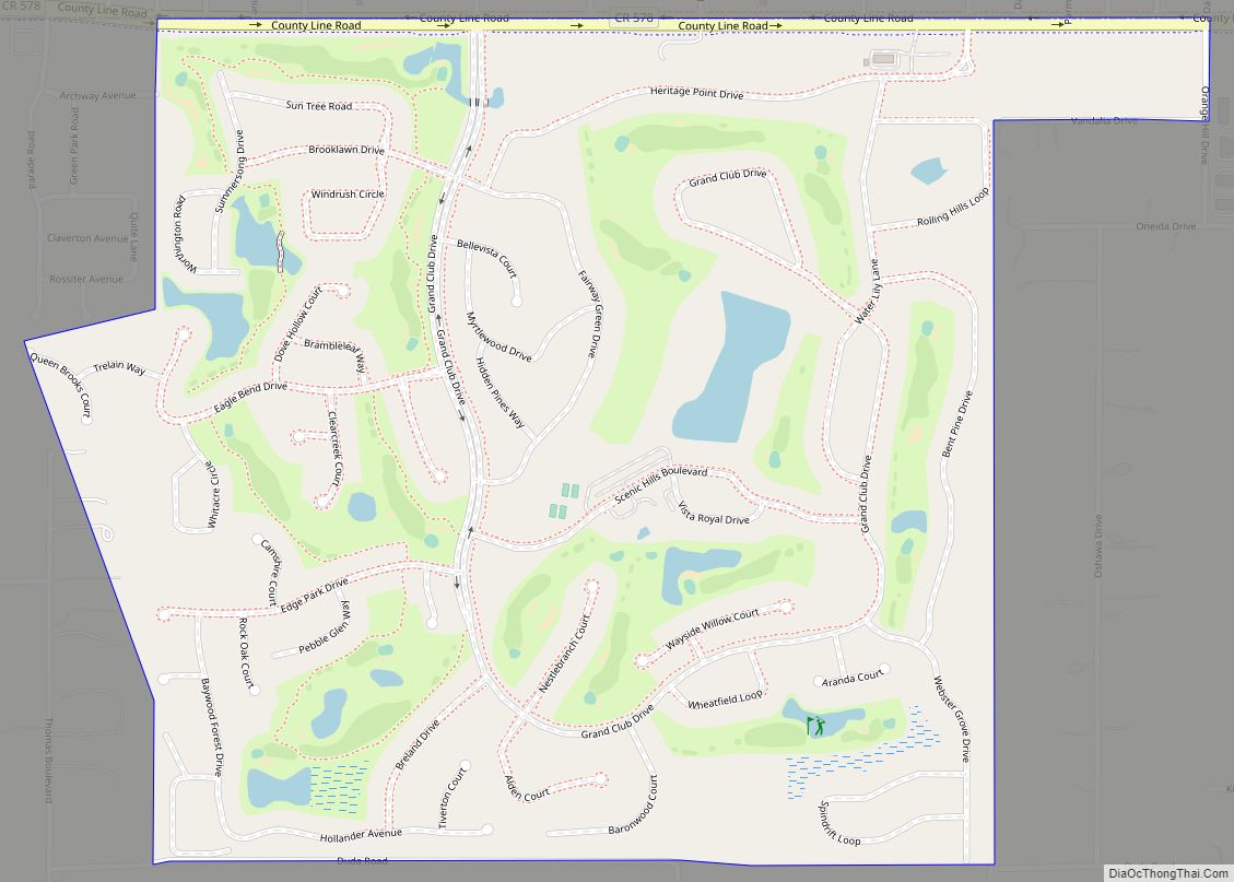
Online Interactive Map
Click on ![]() to view map in "full screen" mode.
to view map in "full screen" mode.
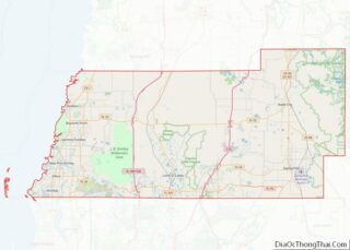
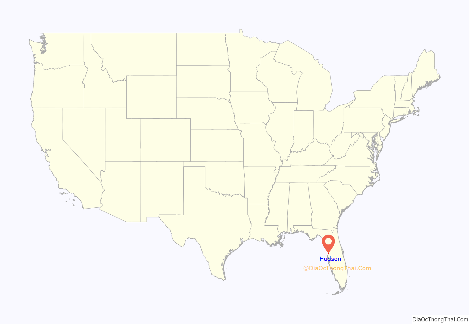
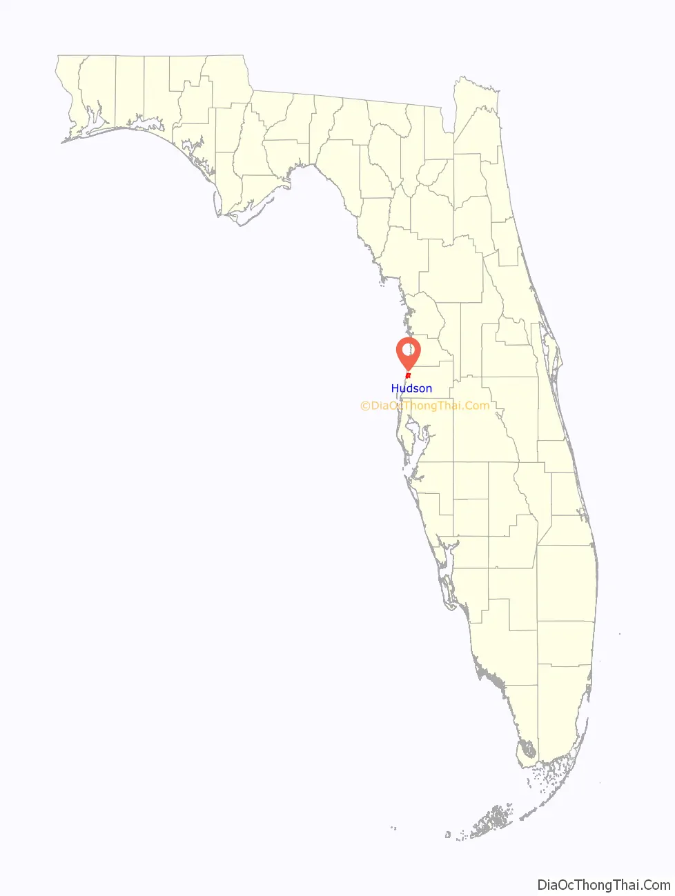
Hudson location map. Where is Hudson CDP?
History
In 1878, Isaac Hudson moved his family to the uninhabited brush of coastal Pasco County and allowed a post office to be established in his home. The town grew in the early twentieth century when the Fivay Company [1] began cutting lumber and shipping it by rail to Tampa. Hudson stagnated when the Fivay Company went out of business in 1912 and people turned to the sea or moved away; shrimping and fishing employed about half of the working men in the 1930s to 1950s.
W.L. Hendry came with his sons from Tampa and began digging inlets from the coast around Hudson Springs, using the fill to create a higher ground to put a few houses on in 1950. This was to become the Port of Hudson neighborhood. In the 1980s, people began building larger homes (most of which were mobile homes) along the canals. Now, while its older waterfront is reviving, large residential developments are spreading inland.
Bayonet Point Medical Center, located in Hudson Florida, is the areas local hospital. Founded in 1981, it was the first hospital to be built in North West Pasco County serving residents in Pasco, Hernando and Citrus counties.
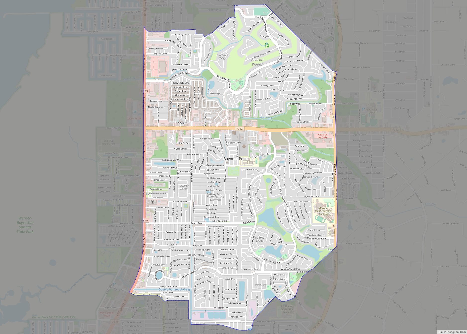
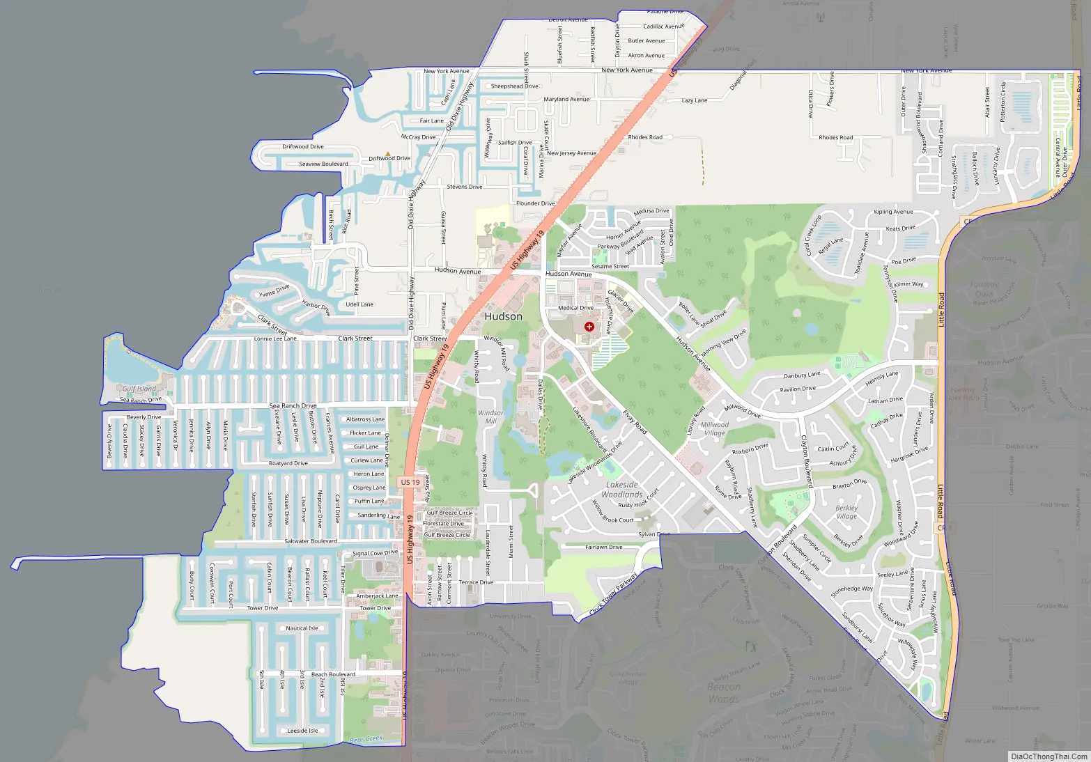
Hudson Road Map
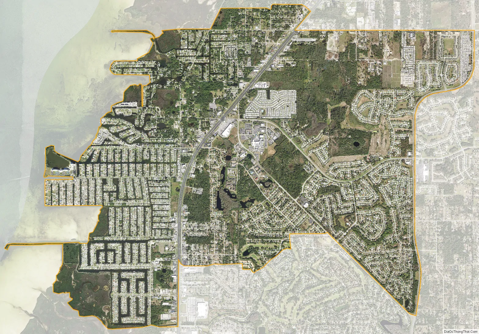
Hudson city Satellite Map
Geography
According to the United States Census Bureau, Hudson has a total area of 6.4 square miles (17 km), of which 6.4 square miles (17 km) is land and 0.04 square miles (0.10 km) (0.31%) is water.
See also
Map of Florida State and its subdivision:- Alachua
- Baker
- Bay
- Bradford
- Brevard
- Broward
- Calhoun
- Charlotte
- Citrus
- Clay
- Collier
- Columbia
- Desoto
- Dixie
- Duval
- Escambia
- Flagler
- Franklin
- Gadsden
- Gilchrist
- Glades
- Gulf
- Hamilton
- Hardee
- Hendry
- Hernando
- Highlands
- Hillsborough
- Holmes
- Indian River
- Jackson
- Jefferson
- Lafayette
- Lake
- Lee
- Leon
- Levy
- Liberty
- Madison
- Manatee
- Marion
- Martin
- Miami-Dade
- Monroe
- Nassau
- Okaloosa
- Okeechobee
- Orange
- Osceola
- Palm Beach
- Pasco
- Pinellas
- Polk
- Putnam
- Saint Johns
- Saint Lucie
- Santa Rosa
- Sarasota
- Seminole
- Sumter
- Suwannee
- Taylor
- Union
- Volusia
- Wakulla
- Walton
- Washington
- Alabama
- Alaska
- Arizona
- Arkansas
- California
- Colorado
- Connecticut
- Delaware
- District of Columbia
- Florida
- Georgia
- Hawaii
- Idaho
- Illinois
- Indiana
- Iowa
- Kansas
- Kentucky
- Louisiana
- Maine
- Maryland
- Massachusetts
- Michigan
- Minnesota
- Mississippi
- Missouri
- Montana
- Nebraska
- Nevada
- New Hampshire
- New Jersey
- New Mexico
- New York
- North Carolina
- North Dakota
- Ohio
- Oklahoma
- Oregon
- Pennsylvania
- Rhode Island
- South Carolina
- South Dakota
- Tennessee
- Texas
- Utah
- Vermont
- Virginia
- Washington
- West Virginia
- Wisconsin
- Wyoming