The town of Jupiter Island is located on the barrier island called Jupiter Island, in Martin County, Florida, United States; the town is part of Florida’s Treasure Coast. The town is located next to the unincorporated community of Hobe Sound. The population of Jupiter Island was 804 at the 2020 census. Some of the wealthiest people in the United States live in Jupiter Island: the June 1999 issue of Worth magazine ranked it #1 in the country for having the highest median home sale, and it has the highest per capita income by ZIP Code Tabulation Area of any place in the US.
| Name: | Jupiter Island town |
|---|---|
| LSAD Code: | 43 |
| LSAD Description: | town (suffix) |
| State: | Florida |
| County: | Martin County |
| Elevation: | 10 ft (3 m) |
| Total Area: | 3.58 sq mi (9.27 km²) |
| Land Area: | 2.71 sq mi (7.02 km²) |
| Water Area: | 0.87 sq mi (2.25 km²) |
| Total Population: | 804 |
| Population Density: | 296.68/sq mi (114.54/km²) |
| ZIP code: | 33455 |
| Area code: | 772 |
| FIPS code: | 1235925 |
| GNISfeature ID: | 1675447 |
| Website: | townofjupiterisland.com |
Online Interactive Map
Click on ![]() to view map in "full screen" mode.
to view map in "full screen" mode.
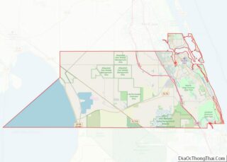
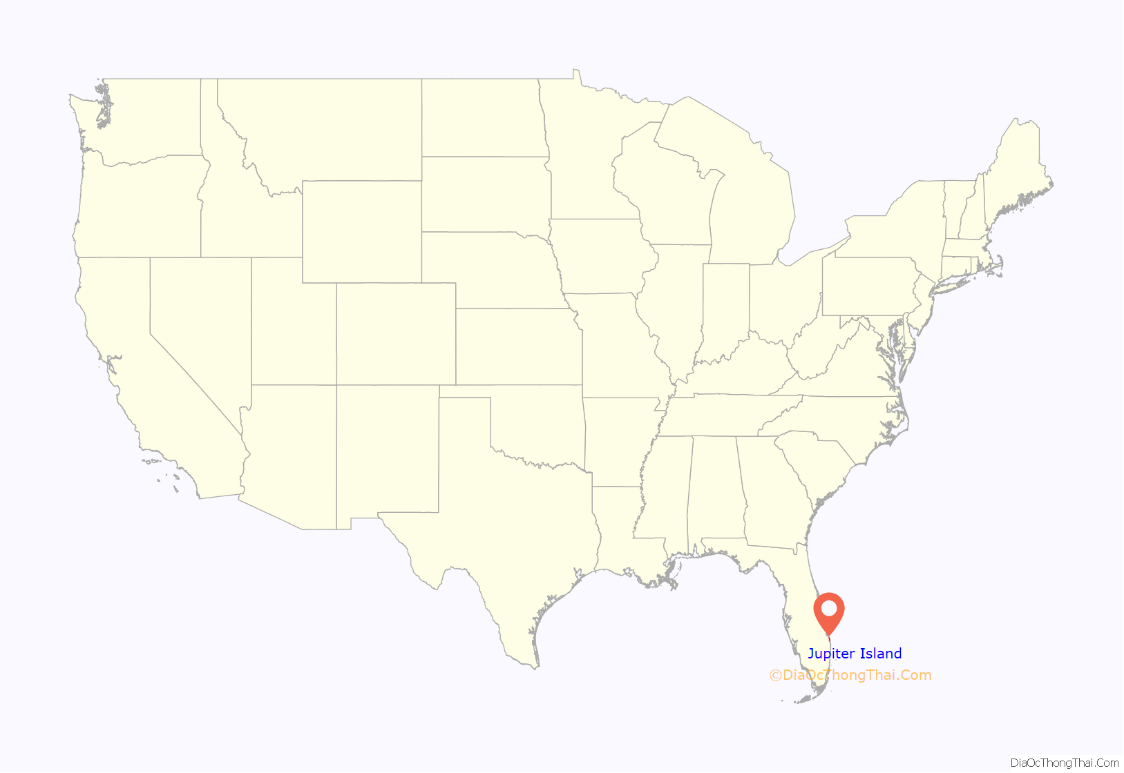
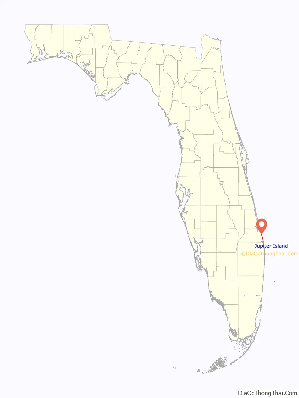
Jupiter Island location map. Where is Jupiter Island town?
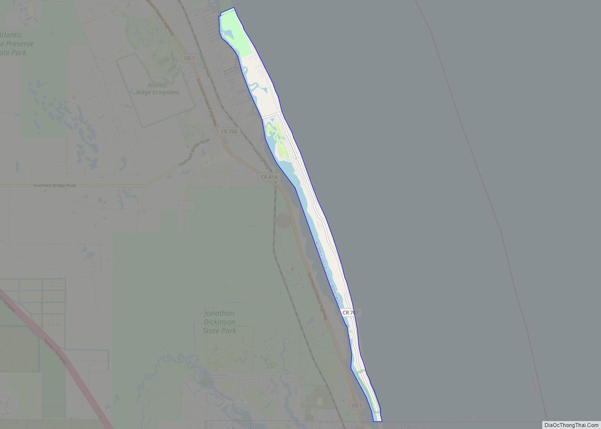
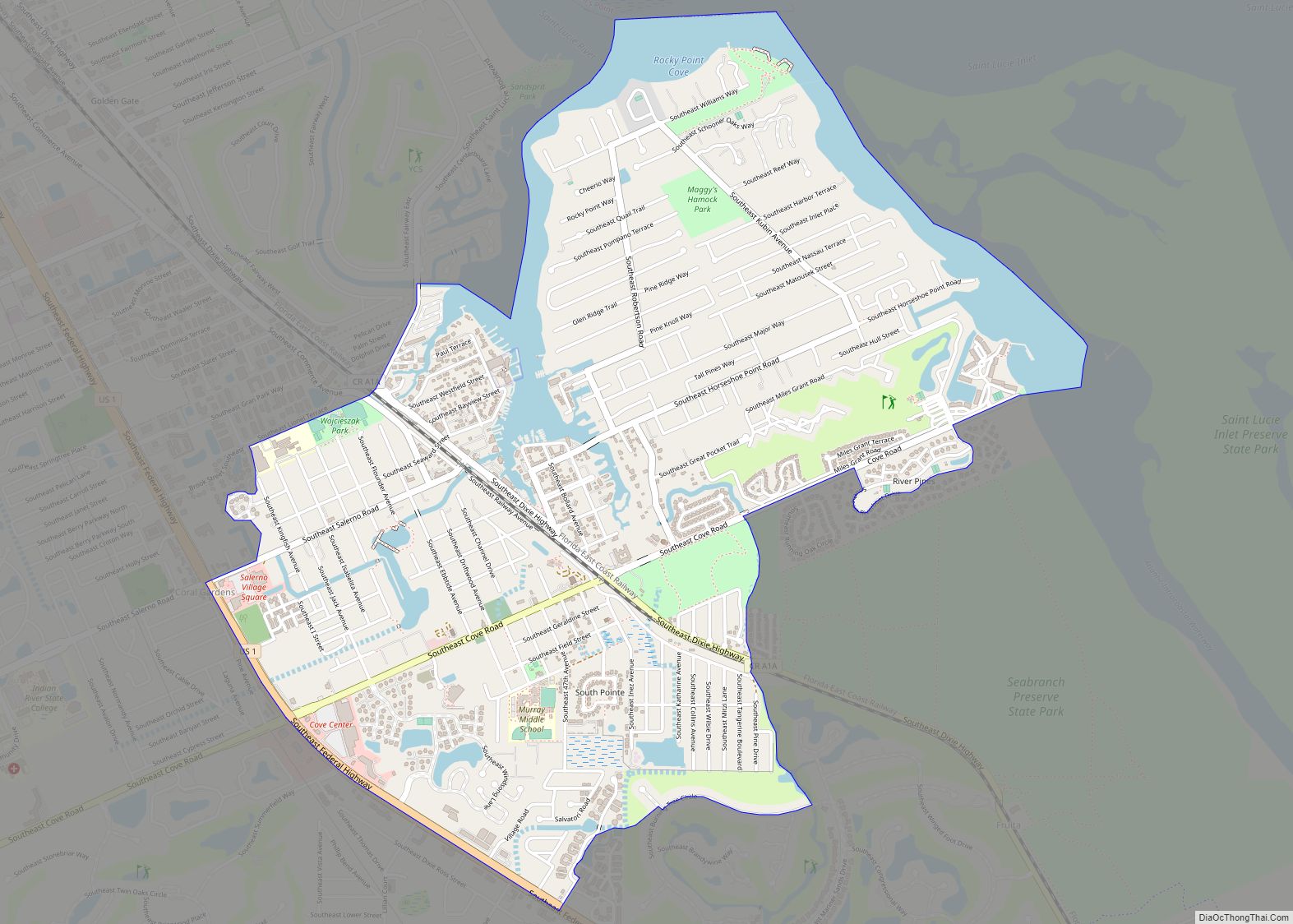
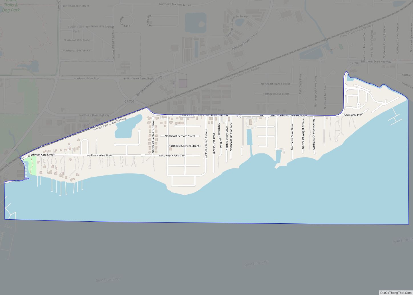
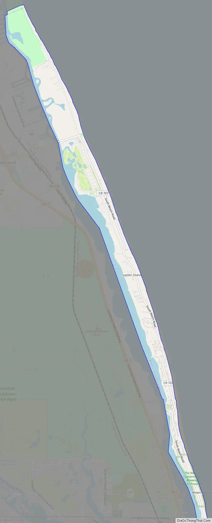
Jupiter Island Road Map
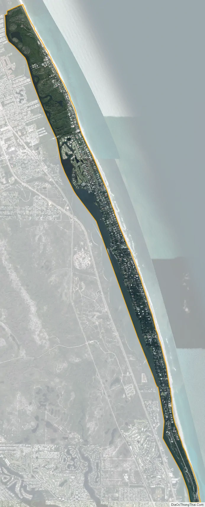
Jupiter Island city Satellite Map
Geography
The town of Jupiter Island is located at 27°3′26″N 80°6′49″W / 27.05722°N 80.11361°W / 27.05722; -80.11361 (27.057287, –80.113616). It occupies the barrier island of the same name from the Palm Beach County line in the south to the Hobe Sound National Wildlife Refuge boundary in the north. It is bordered to the west by Hobe Sound and South Jupiter Narrows, and to the east by the Atlantic Ocean.
According to the United States Census Bureau, the town has a total area of 3.6 square miles (9.3 km), of which 2.7 square miles (7.0 km) are land and 0.9 square miles (2.3 km), or 24.30%, are water.
See also
Map of Florida State and its subdivision:- Alachua
- Baker
- Bay
- Bradford
- Brevard
- Broward
- Calhoun
- Charlotte
- Citrus
- Clay
- Collier
- Columbia
- Desoto
- Dixie
- Duval
- Escambia
- Flagler
- Franklin
- Gadsden
- Gilchrist
- Glades
- Gulf
- Hamilton
- Hardee
- Hendry
- Hernando
- Highlands
- Hillsborough
- Holmes
- Indian River
- Jackson
- Jefferson
- Lafayette
- Lake
- Lee
- Leon
- Levy
- Liberty
- Madison
- Manatee
- Marion
- Martin
- Miami-Dade
- Monroe
- Nassau
- Okaloosa
- Okeechobee
- Orange
- Osceola
- Palm Beach
- Pasco
- Pinellas
- Polk
- Putnam
- Saint Johns
- Saint Lucie
- Santa Rosa
- Sarasota
- Seminole
- Sumter
- Suwannee
- Taylor
- Union
- Volusia
- Wakulla
- Walton
- Washington
- Alabama
- Alaska
- Arizona
- Arkansas
- California
- Colorado
- Connecticut
- Delaware
- District of Columbia
- Florida
- Georgia
- Hawaii
- Idaho
- Illinois
- Indiana
- Iowa
- Kansas
- Kentucky
- Louisiana
- Maine
- Maryland
- Massachusetts
- Michigan
- Minnesota
- Mississippi
- Missouri
- Montana
- Nebraska
- Nevada
- New Hampshire
- New Jersey
- New Mexico
- New York
- North Carolina
- North Dakota
- Ohio
- Oklahoma
- Oregon
- Pennsylvania
- Rhode Island
- South Carolina
- South Dakota
- Tennessee
- Texas
- Utah
- Vermont
- Virginia
- Washington
- West Virginia
- Wisconsin
- Wyoming