Keystone is an unincorporated census-designated place in Hillsborough County, Florida, United States. The Keystone area was first settled in the middle 1800s by the W.M. Mobley Family who migrated from Savannah, Georgia. The region has evolved from citrus and farming into a rural retreat of many lake homes and ranches. The population was 24,039 at the 2010 census, up from 14,627 at the 2000 census. The ZIP Codes encompassing the CDP area are 33556 and 33558.
| Name: | Keystone CDP |
|---|---|
| LSAD Code: | 57 |
| LSAD Description: | CDP (suffix) |
| State: | Florida |
| County: | Hillsborough County |
| Elevation: | 39 ft (12 m) |
| Total Area: | 39.14 sq mi (101.38 km²) |
| Land Area: | 35.12 sq mi (90.95 km²) |
| Water Area: | 4.03 sq mi (10.43 km²) |
| Total Population: | 25,211 |
| Population Density: | 717.96/sq mi (277.20/km²) |
| FIPS code: | 1236462 |
| GNISfeature ID: | 0300080 |
Online Interactive Map
Click on ![]() to view map in "full screen" mode.
to view map in "full screen" mode.
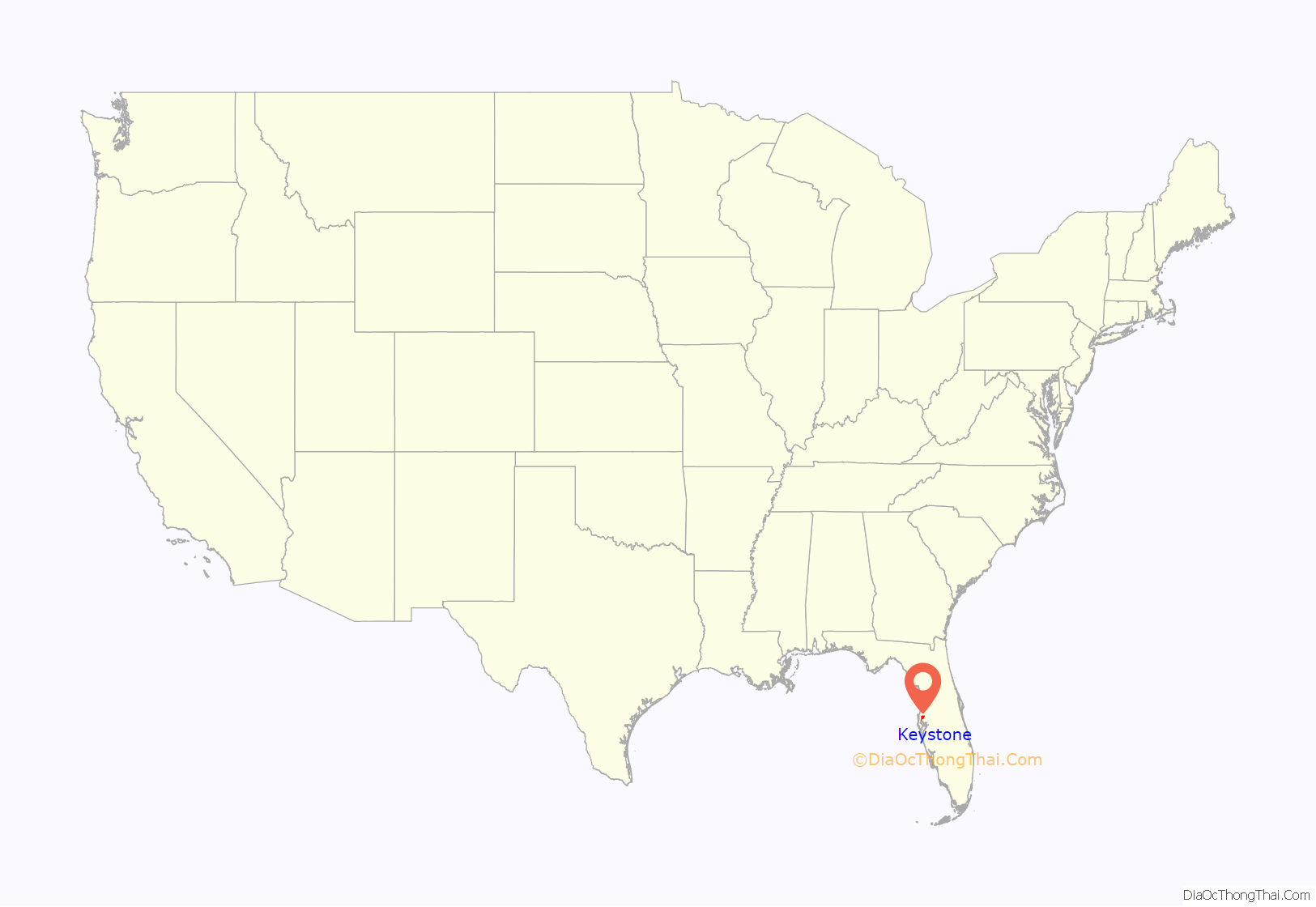
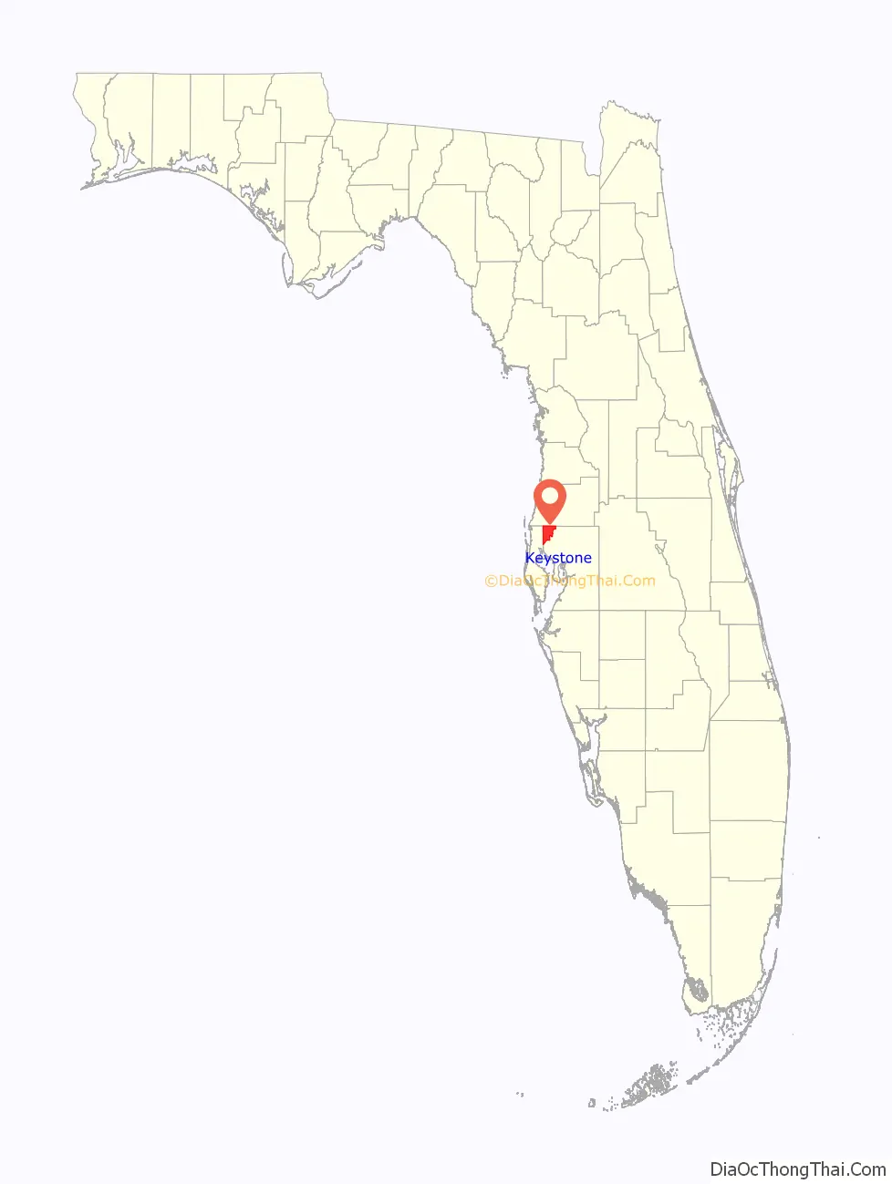
Keystone location map. Where is Keystone CDP?
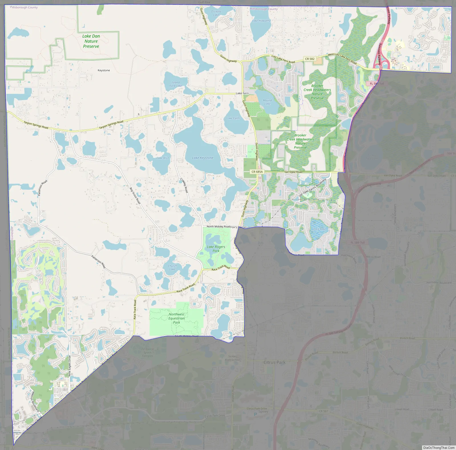
Keystone Road Map
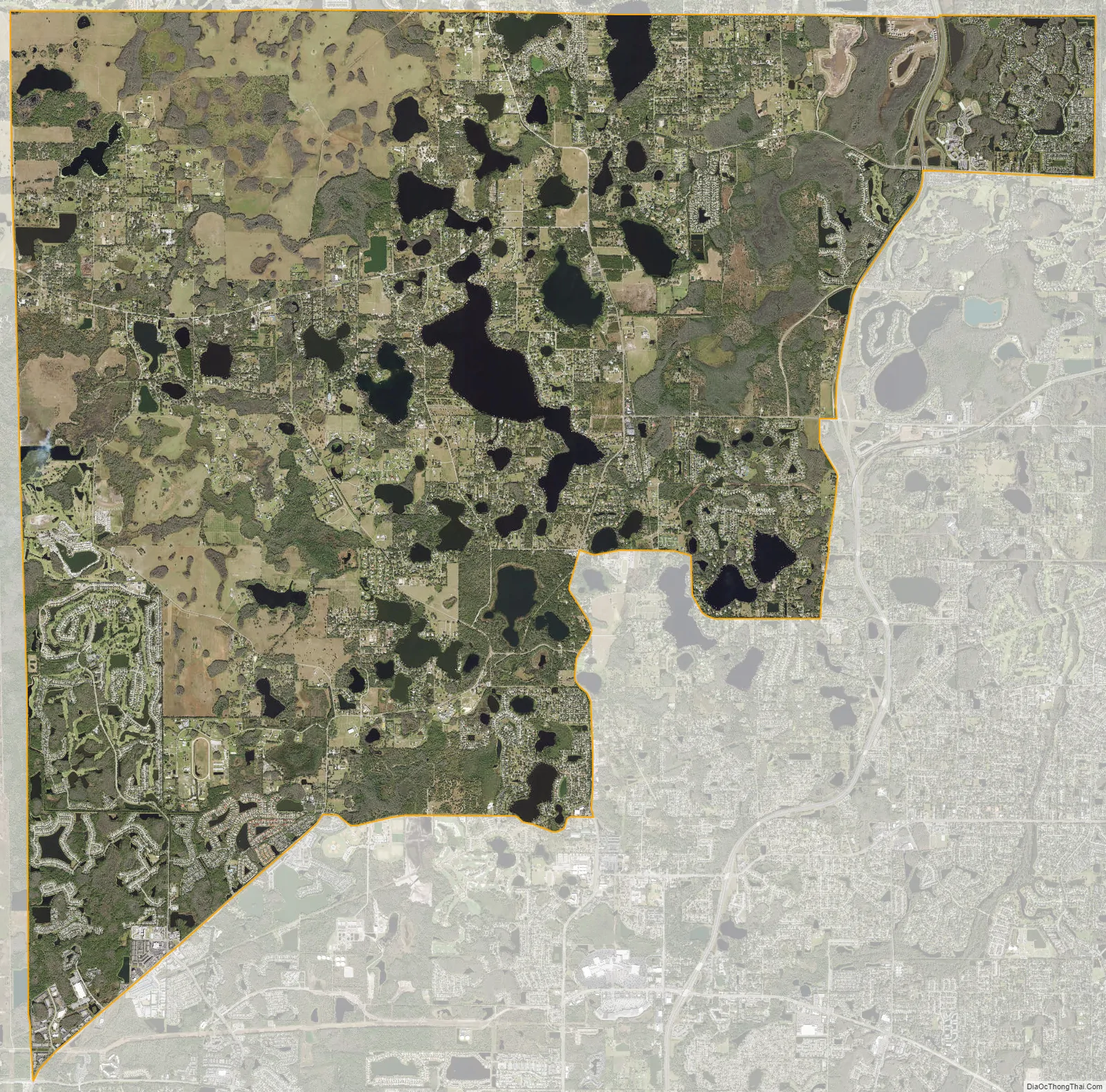
Keystone city Satellite Map
Geography
Keystone is located in the northwest corner of Hillsborough County at 28°7′39″N 82°35′21″W / 28.12750°N 82.58917°W / 28.12750; -82.58917 (28.127550, -82.589117). It is bordered to the east by Cheval and Northdale, to the southeast by Citrus Park, and to the south by Westchase, all in Hillsborough County. To the west, Keystone is bordered by East Lake in Pinellas County, and to the north the CDP is bordered by Trinity and Odessa in Pasco County. Keystone is 22 miles (35 km) northwest of downtown Tampa. According to the United States Census Bureau, the CDP has a total area of 39.2 square miles (101.4 km), of which 35.1 square miles (91.0 km) are land and 4.0 square miles (10.4 km), or 10.29%, are water.
See also
Map of Florida State and its subdivision:- Alachua
- Baker
- Bay
- Bradford
- Brevard
- Broward
- Calhoun
- Charlotte
- Citrus
- Clay
- Collier
- Columbia
- Desoto
- Dixie
- Duval
- Escambia
- Flagler
- Franklin
- Gadsden
- Gilchrist
- Glades
- Gulf
- Hamilton
- Hardee
- Hendry
- Hernando
- Highlands
- Hillsborough
- Holmes
- Indian River
- Jackson
- Jefferson
- Lafayette
- Lake
- Lee
- Leon
- Levy
- Liberty
- Madison
- Manatee
- Marion
- Martin
- Miami-Dade
- Monroe
- Nassau
- Okaloosa
- Okeechobee
- Orange
- Osceola
- Palm Beach
- Pasco
- Pinellas
- Polk
- Putnam
- Saint Johns
- Saint Lucie
- Santa Rosa
- Sarasota
- Seminole
- Sumter
- Suwannee
- Taylor
- Union
- Volusia
- Wakulla
- Walton
- Washington
- Alabama
- Alaska
- Arizona
- Arkansas
- California
- Colorado
- Connecticut
- Delaware
- District of Columbia
- Florida
- Georgia
- Hawaii
- Idaho
- Illinois
- Indiana
- Iowa
- Kansas
- Kentucky
- Louisiana
- Maine
- Maryland
- Massachusetts
- Michigan
- Minnesota
- Mississippi
- Missouri
- Montana
- Nebraska
- Nevada
- New Hampshire
- New Jersey
- New Mexico
- New York
- North Carolina
- North Dakota
- Ohio
- Oklahoma
- Oregon
- Pennsylvania
- Rhode Island
- South Carolina
- South Dakota
- Tennessee
- Texas
- Utah
- Vermont
- Virginia
- Washington
- West Virginia
- Wisconsin
- Wyoming


