Land o’ Lakes is a census-designated place (CDP) in Pasco County, Florida, United States. Land o’ Lakes is part of the Tampa-St. Petersburg-Clearwater, Florida MSA.
As of the 2010 census, the CDP population was 31,145. The CDP grew rapidly during the 1990s, growing from 7,800 residents to 20,971 as new housing developments were built. Average annual income is higher than the rest of Florida. The CDP had a population in 2007 of 30,400 residents. The name Land o’ Lakes was suggested at a community meeting in 1949. On September 1, 1950, the Ehren post office was renamed Land o’ Lakes.
Dupree Gardens, one of Florida’s original roadside tourist attractions, was located at Land o’ Lakes (although the name Land o’ Lakes was not yet in use).
| Name: | Land O’ Lakes CDP |
|---|---|
| LSAD Code: | 57 |
| LSAD Description: | CDP (suffix) |
| State: | Florida |
| County: | Pasco County |
| Elevation: | 75 ft (23 m) |
| Land Area: | 18.96 sq mi (49.10 km²) |
| Water Area: | 2.21 sq mi (5.72 km²) |
| Population Density: | 1,895.29/sq mi (731.78/km²) |
| ZIP code: | 34637, 34638, 34639 |
| Area code: | 813 |
| FIPS code: | 1239200 |
| GNISfeature ID: | 0294219 |
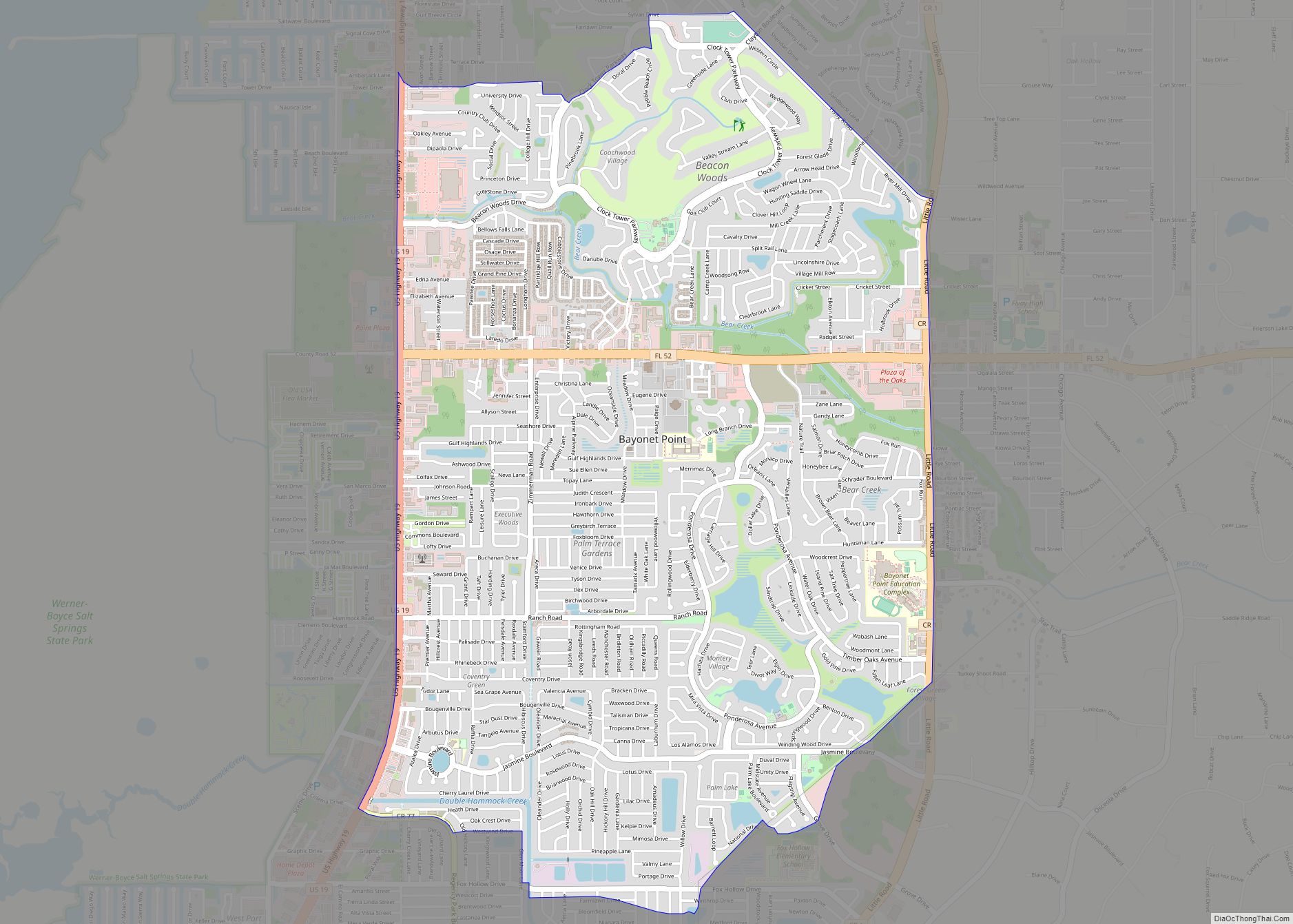
Online Interactive Map
Click on ![]() to view map in "full screen" mode.
to view map in "full screen" mode.
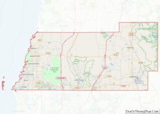
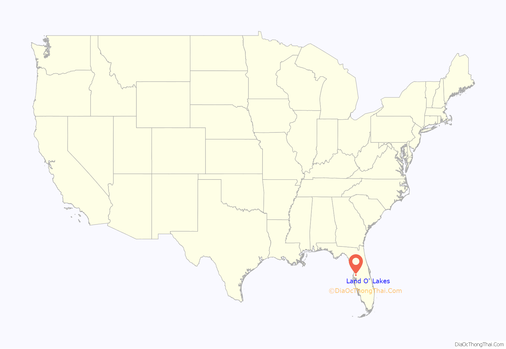
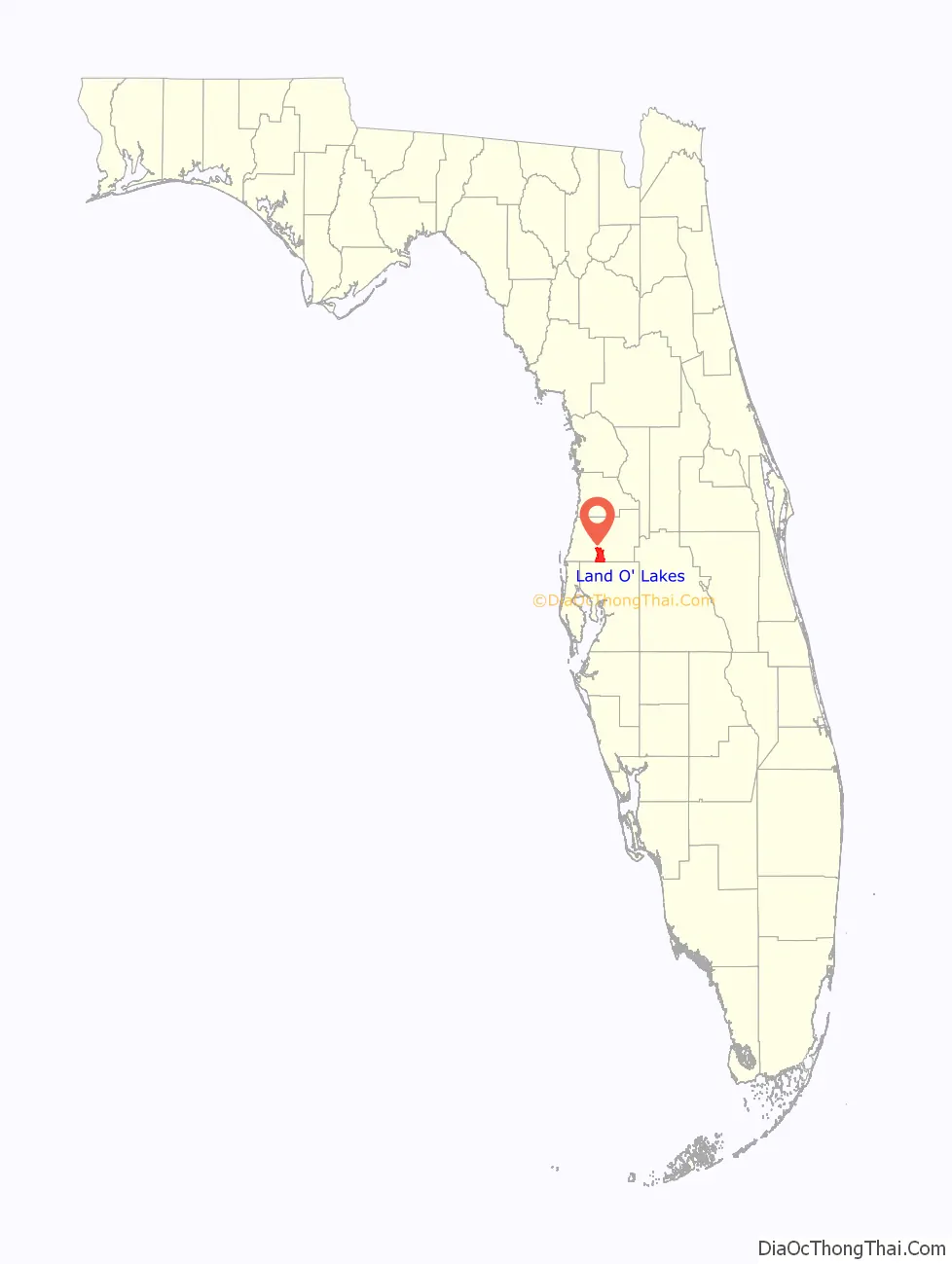
Land O’ Lakes location map. Where is Land O’ Lakes CDP?
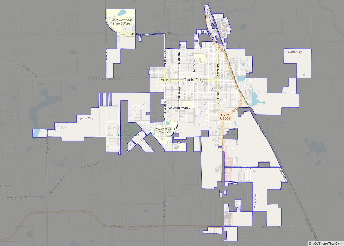
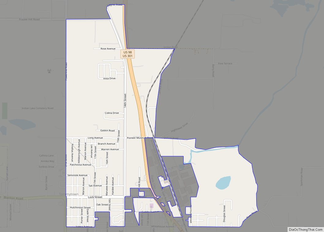
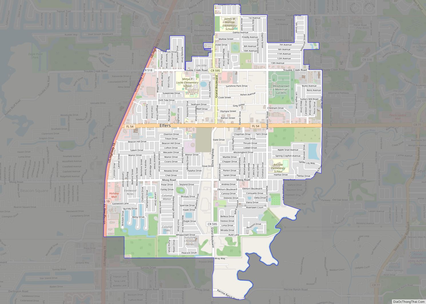
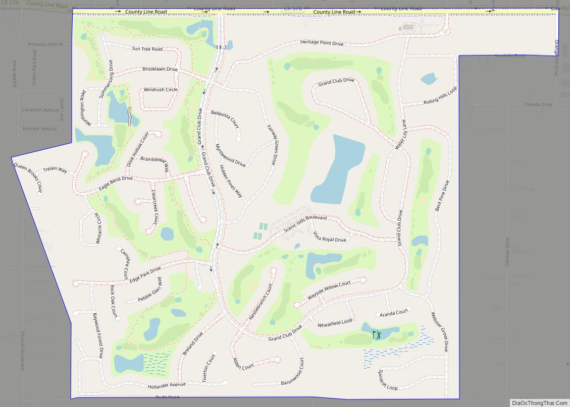
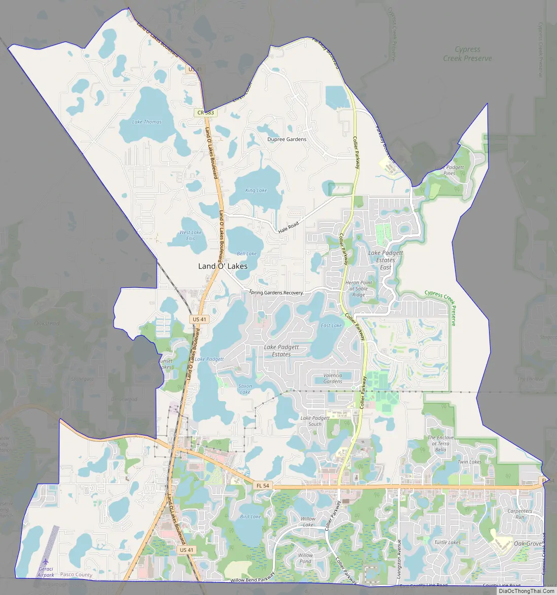
Land O’ Lakes Road Map
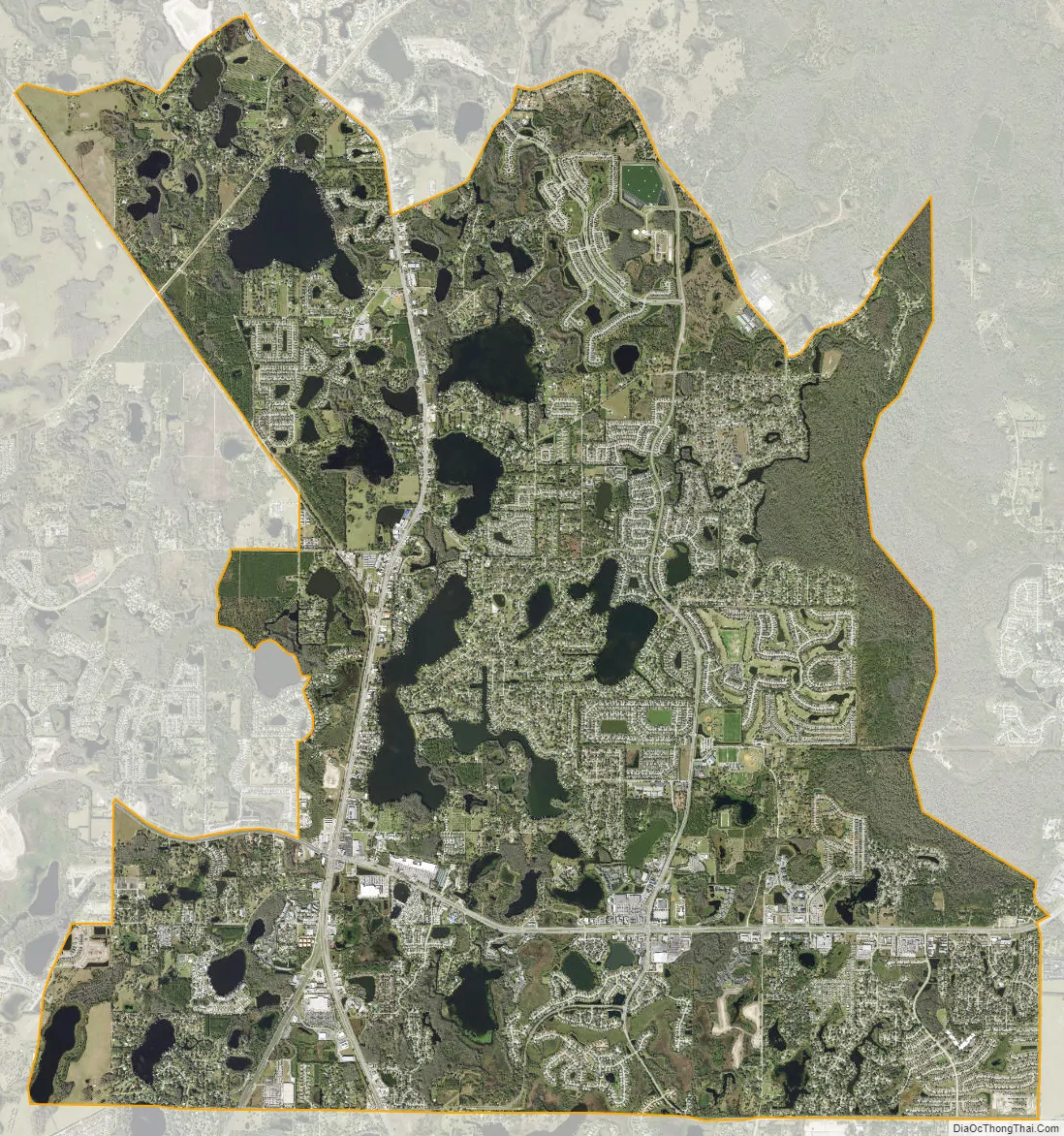
Land O’ Lakes city Satellite Map
See also
Map of Florida State and its subdivision:- Alachua
- Baker
- Bay
- Bradford
- Brevard
- Broward
- Calhoun
- Charlotte
- Citrus
- Clay
- Collier
- Columbia
- Desoto
- Dixie
- Duval
- Escambia
- Flagler
- Franklin
- Gadsden
- Gilchrist
- Glades
- Gulf
- Hamilton
- Hardee
- Hendry
- Hernando
- Highlands
- Hillsborough
- Holmes
- Indian River
- Jackson
- Jefferson
- Lafayette
- Lake
- Lee
- Leon
- Levy
- Liberty
- Madison
- Manatee
- Marion
- Martin
- Miami-Dade
- Monroe
- Nassau
- Okaloosa
- Okeechobee
- Orange
- Osceola
- Palm Beach
- Pasco
- Pinellas
- Polk
- Putnam
- Saint Johns
- Saint Lucie
- Santa Rosa
- Sarasota
- Seminole
- Sumter
- Suwannee
- Taylor
- Union
- Volusia
- Wakulla
- Walton
- Washington
- Alabama
- Alaska
- Arizona
- Arkansas
- California
- Colorado
- Connecticut
- Delaware
- District of Columbia
- Florida
- Georgia
- Hawaii
- Idaho
- Illinois
- Indiana
- Iowa
- Kansas
- Kentucky
- Louisiana
- Maine
- Maryland
- Massachusetts
- Michigan
- Minnesota
- Mississippi
- Missouri
- Montana
- Nebraska
- Nevada
- New Hampshire
- New Jersey
- New Mexico
- New York
- North Carolina
- North Dakota
- Ohio
- Oklahoma
- Oregon
- Pennsylvania
- Rhode Island
- South Carolina
- South Dakota
- Tennessee
- Texas
- Utah
- Vermont
- Virginia
- Washington
- West Virginia
- Wisconsin
- Wyoming