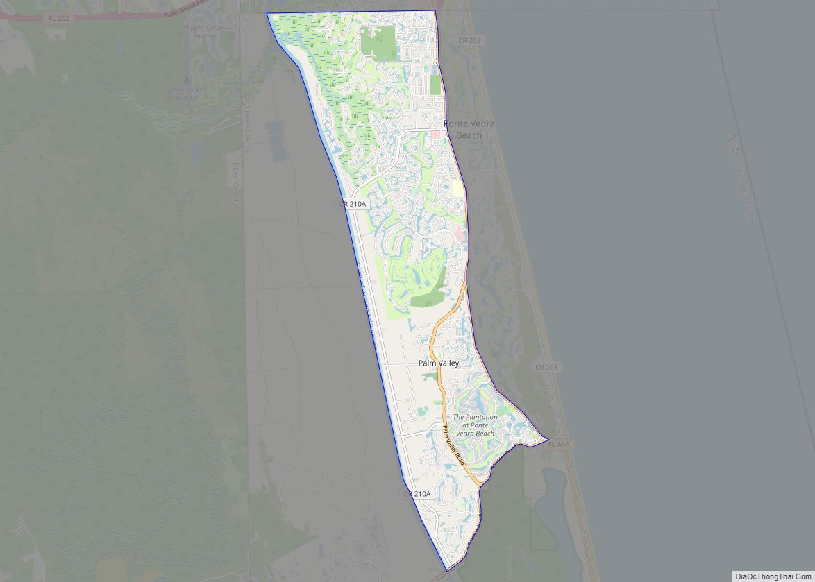
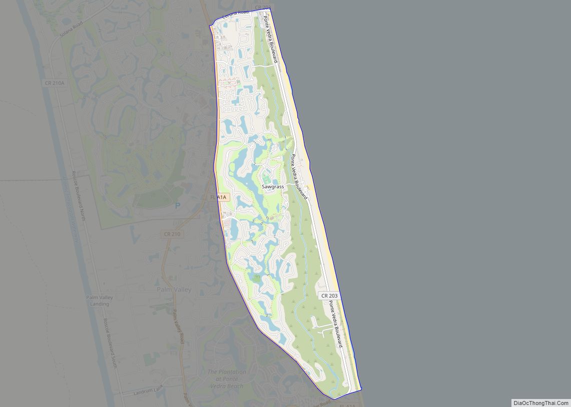
Nocatee /ˈnɒkətiː/ is an unincorporated planned community located primarily in northern St. Johns County, Florida and a census-designated place (CDP). The community blends a variety of neighborhoods with schools, parks, recreation, offices, shopping, and restaurants. As of 2020, the community consists of twenty-two neighborhoods, some of which are specialized for certain age groups. Part of the development lies within Jacksonville in Duval County. It is near Ponte Vedra Beach in Florida’s First Coast region and sits on 13,323 acres (5,392 ha) of land. It was approved in 2001 as a Development of Regional Impact (DRI) under Section 380.06 of the Florida Statutes. In addition, Nocatee is just a few minutes away from pristine beaches, golf courses, business parks and major airports in downtown Jacksonville and St. Augustine. The Nocatee vision was centered around a desire to transform the unique setting of the land into a place with a truly exceptional quality of living, while still preserving the area’s peaceful beauty. By incorporating elements of “Smart Growth,” Nocatee provides its residents with employment opportunities, shopping, schools, recreation and beautiful homes – everything needed for and exceptional quality of life.
| Name: | Nocatee CDP |
|---|---|
| LSAD Code: | 57 |
| LSAD Description: | CDP (suffix) |
| State: | Florida |
| County: | St. Johns County |
| Land Area: | 15,000 acres (6,000 ha) |
| ZIP code: | 32081 |
| Area code: | 904 |
| FIPS code: | 1248850 |
| Website: | www.nocatee.com |
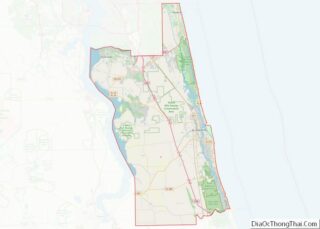
Online Interactive Map
Click on ![]() to view map in "full screen" mode.
to view map in "full screen" mode.
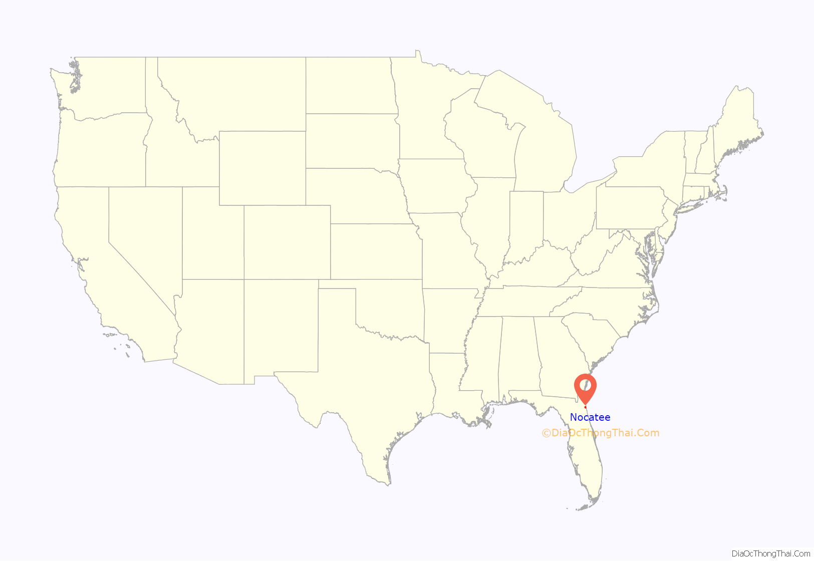
Nocatee location map. Where is Nocatee CDP?
History
Nocatee’s creator, The PARC Group, claims that its main goal is to create communities that balance the lifestyles of its residents. The PARC Groups’s Chairman and CEO, Roger O’Steen, founded the group in 1989 and was directly involved with the development of Nocatee and many other communities. He had been named Northeast Developer of the Year in 2018, and The PARC Group has been claiming this title for a consecutive 12 years. Donna Lundgren, the manager for the Nocatee Welcome Center, explains that the actual word “Nocatee” has roots in Timucuan Indian and translates to “peaceful river”. She also states that Nocatee is “approximately 25 square miles, 14,000 acres with over 60% of remaining preserve for conservation and preservation.”
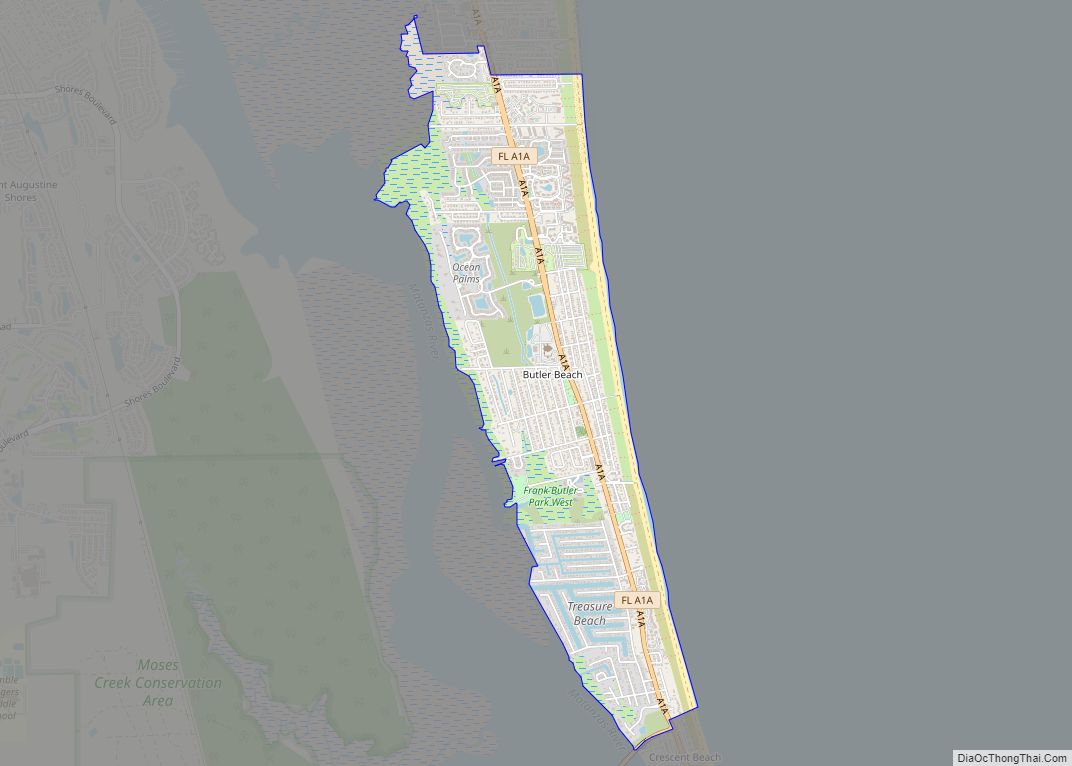
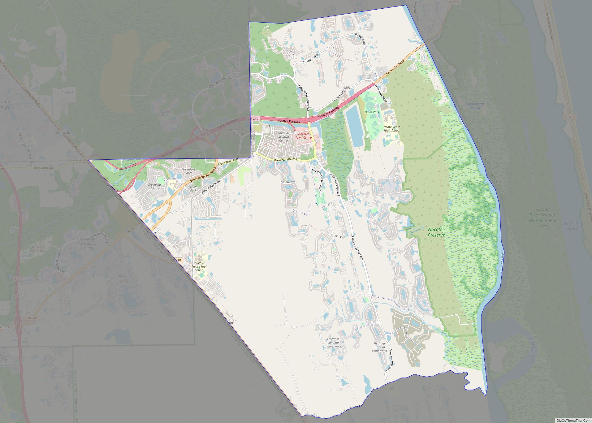
Nocatee Road Map
Nocatee city Satellite Map
See also
Map of Florida State and its subdivision:- Alachua
- Baker
- Bay
- Bradford
- Brevard
- Broward
- Calhoun
- Charlotte
- Citrus
- Clay
- Collier
- Columbia
- Desoto
- Dixie
- Duval
- Escambia
- Flagler
- Franklin
- Gadsden
- Gilchrist
- Glades
- Gulf
- Hamilton
- Hardee
- Hendry
- Hernando
- Highlands
- Hillsborough
- Holmes
- Indian River
- Jackson
- Jefferson
- Lafayette
- Lake
- Lee
- Leon
- Levy
- Liberty
- Madison
- Manatee
- Marion
- Martin
- Miami-Dade
- Monroe
- Nassau
- Okaloosa
- Okeechobee
- Orange
- Osceola
- Palm Beach
- Pasco
- Pinellas
- Polk
- Putnam
- Saint Johns
- Saint Lucie
- Santa Rosa
- Sarasota
- Seminole
- Sumter
- Suwannee
- Taylor
- Union
- Volusia
- Wakulla
- Walton
- Washington
- Alabama
- Alaska
- Arizona
- Arkansas
- California
- Colorado
- Connecticut
- Delaware
- District of Columbia
- Florida
- Georgia
- Hawaii
- Idaho
- Illinois
- Indiana
- Iowa
- Kansas
- Kentucky
- Louisiana
- Maine
- Maryland
- Massachusetts
- Michigan
- Minnesota
- Mississippi
- Missouri
- Montana
- Nebraska
- Nevada
- New Hampshire
- New Jersey
- New Mexico
- New York
- North Carolina
- North Dakota
- Ohio
- Oklahoma
- Oregon
- Pennsylvania
- Rhode Island
- South Carolina
- South Dakota
- Tennessee
- Texas
- Utah
- Vermont
- Virginia
- Washington
- West Virginia
- Wisconsin
- Wyoming
