Palm Valley is a census-designated place (CDP) in St. Johns County, Florida, United States. The population was 19,860 at the 2000 census.
| Name: | Palm Valley CDP |
|---|---|
| LSAD Code: | 57 |
| LSAD Description: | CDP (suffix) |
| State: | Florida |
| County: | St. Johns County |
| Elevation: | 7 ft (2 m) |
| Total Area: | 13.61 sq mi (35.25 km²) |
| Land Area: | 12.20 sq mi (31.59 km²) |
| Water Area: | 1.41 sq mi (3.66 km²) |
| Total Population: | 21,827 |
| Population Density: | 1,789.69/sq mi (691.01/km²) |
| Area code: | 904 |
| FIPS code: | 1254525 |
| GNISfeature ID: | 0308066 |
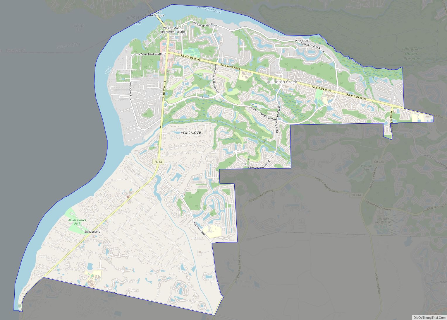
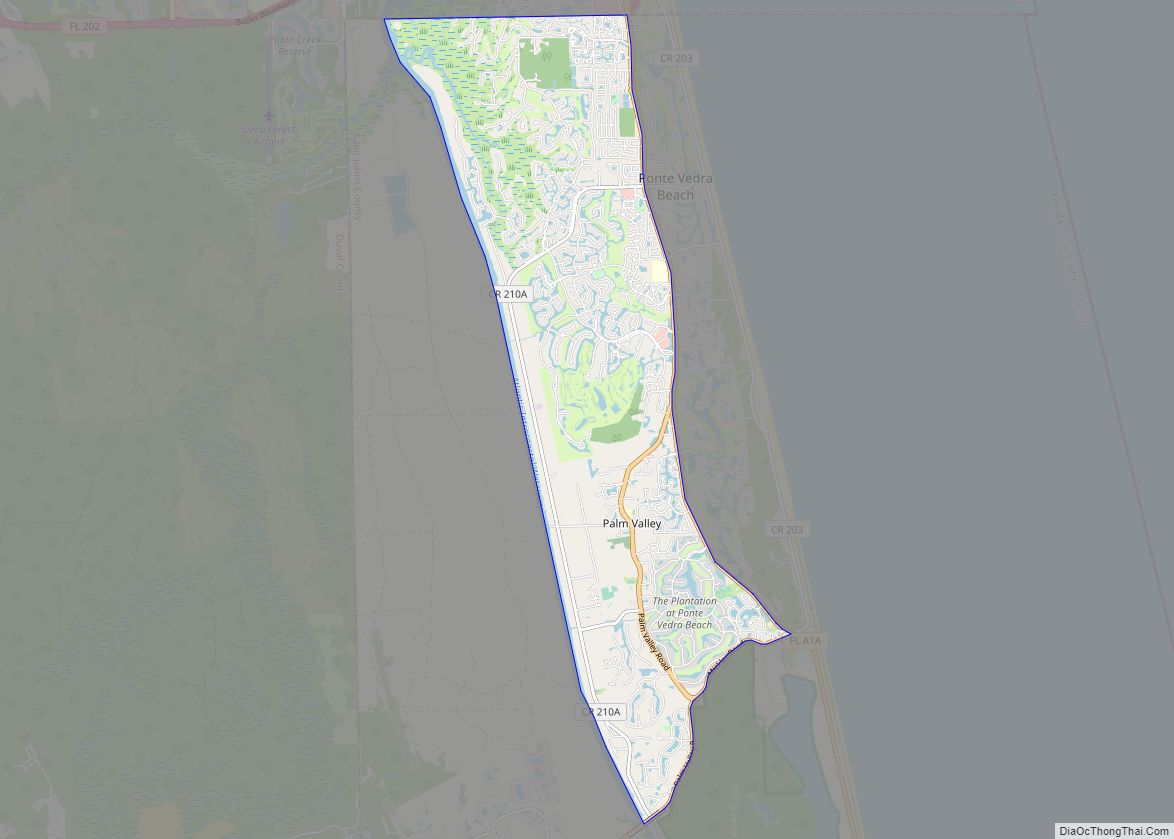
Online Interactive Map
Click on ![]() to view map in "full screen" mode.
to view map in "full screen" mode.
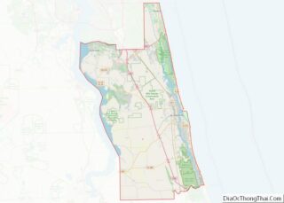
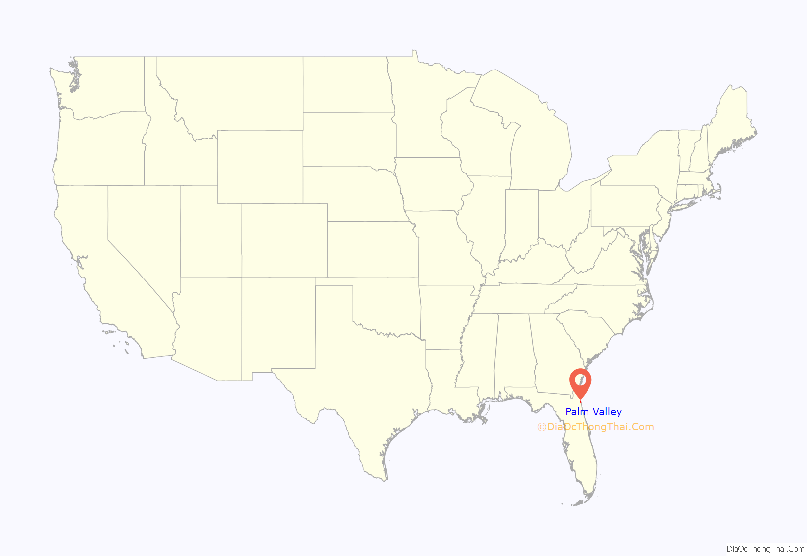
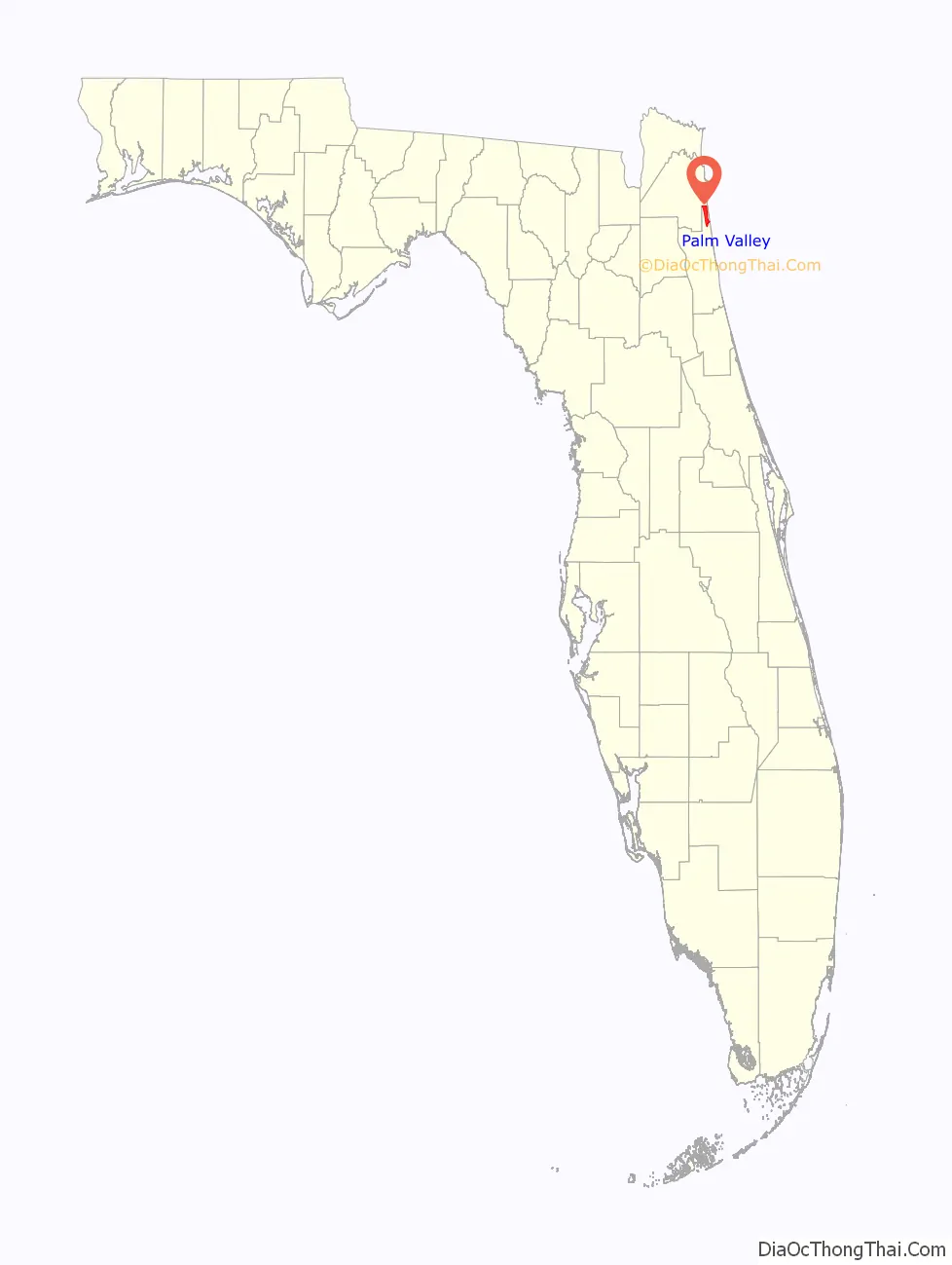
Palm Valley location map. Where is Palm Valley CDP?
History
Long before the first Spanish settlers arrived, there was an Indian village in what is known as Palm Valley today. Several Indian mounds have been uncovered revealing points, pottery and human skeletons. Early Franciscan missionaries constructed a mission in the area called The Nativity of Our Lady of Tolomato.
By 1703, Don Diego Espinoza had settled in what is today the Palm Valley area. His vast ranch and the surrounding territory was known as Diego Plains. In the 1730s, the ranch was fortified to protect its inhabitants from Indian attack. By 1739, Great Britain and Spain were at war and trouble was brewing for the Diego Plains settlers. British general James Oglethorpe was commissioned to harass the Spanish settlements south of the colony of Georgia, so the Spanish governor fortified the Diego farmhouse which was already being called Fort San Diego. After Oglethorpe’s failure to capture St. Augustine, the Spanish military abandoned Fort San Diego, but other inhabitants moved into the area, living off the land and the cattle.
In 1908, a canal was dug through Diego Plains connecting the San Pablo River to the north with the Tolomato River near St. Augustine to the south. This intracoastal canal made access to the valley much easier for the residents that had settled in this area. In addition to raising cattle, they farmed, logged, and sold palm fronds to religious groups. The many palm trees growing in the region led some of the settlers to decide on the name Palm Valley for their community.
Prohibition turned some of the valley residents to another source of income – moonshine. The abundant water supply and deep woods areas in the valley were ideal for the concealment of illegal whiskey distilling. The moonshine industry thrived even after the Volstead Act was repealed in 1933, but the rising price of sugar finally brought the illegal whiskey industry to an end.
Palm Valley remained a quiet area of the Beaches, between A1A and U.S. 1. There were many farms where produce and livestock were raised. The development of the Beaches has also affected Palm Valley. Today most farms in the valley have disappeared, opening the land for luxurious residences overlooking the Intracoastal Waterway.
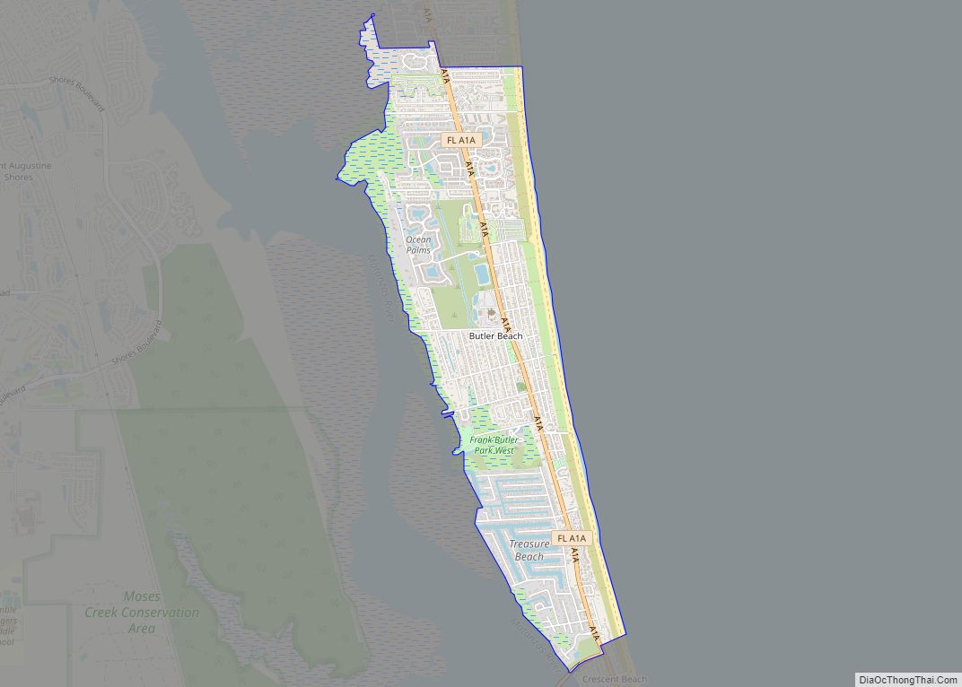
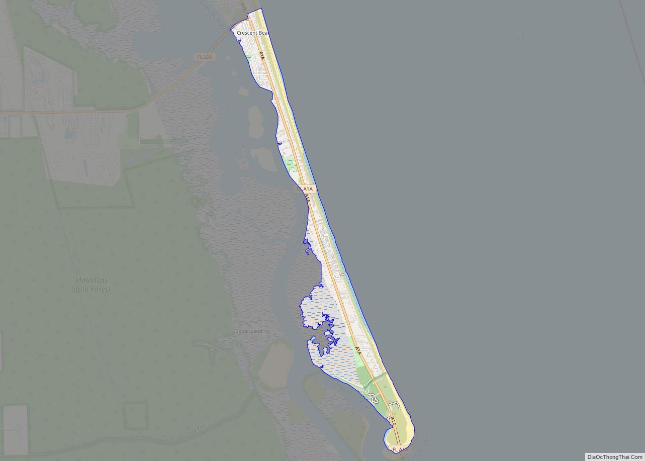
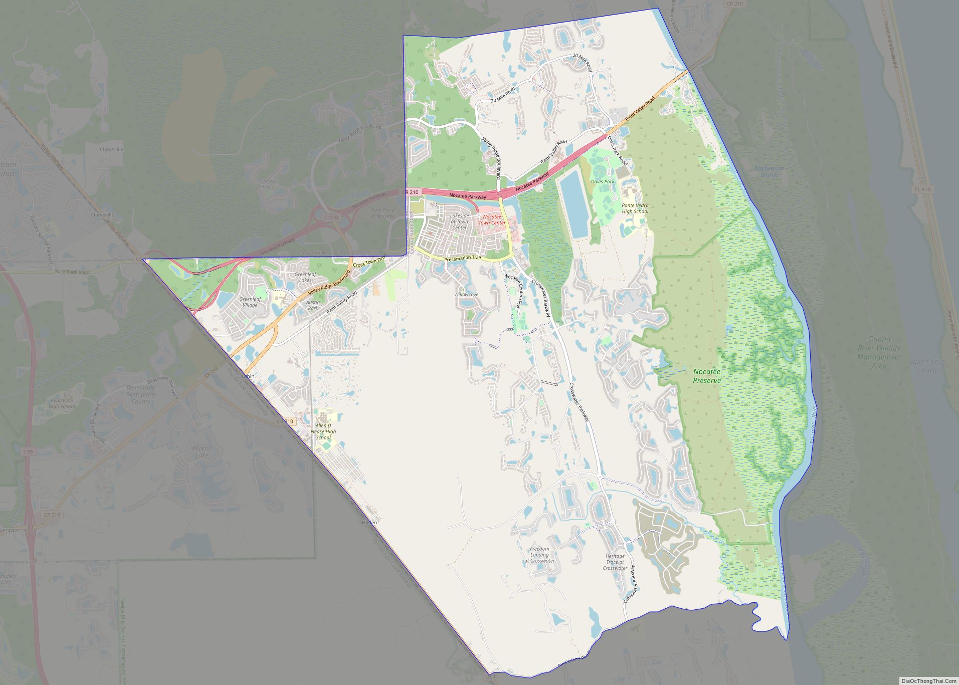
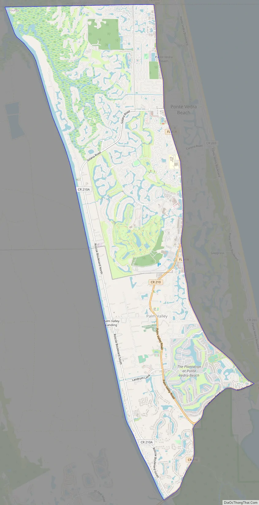
Palm Valley Road Map
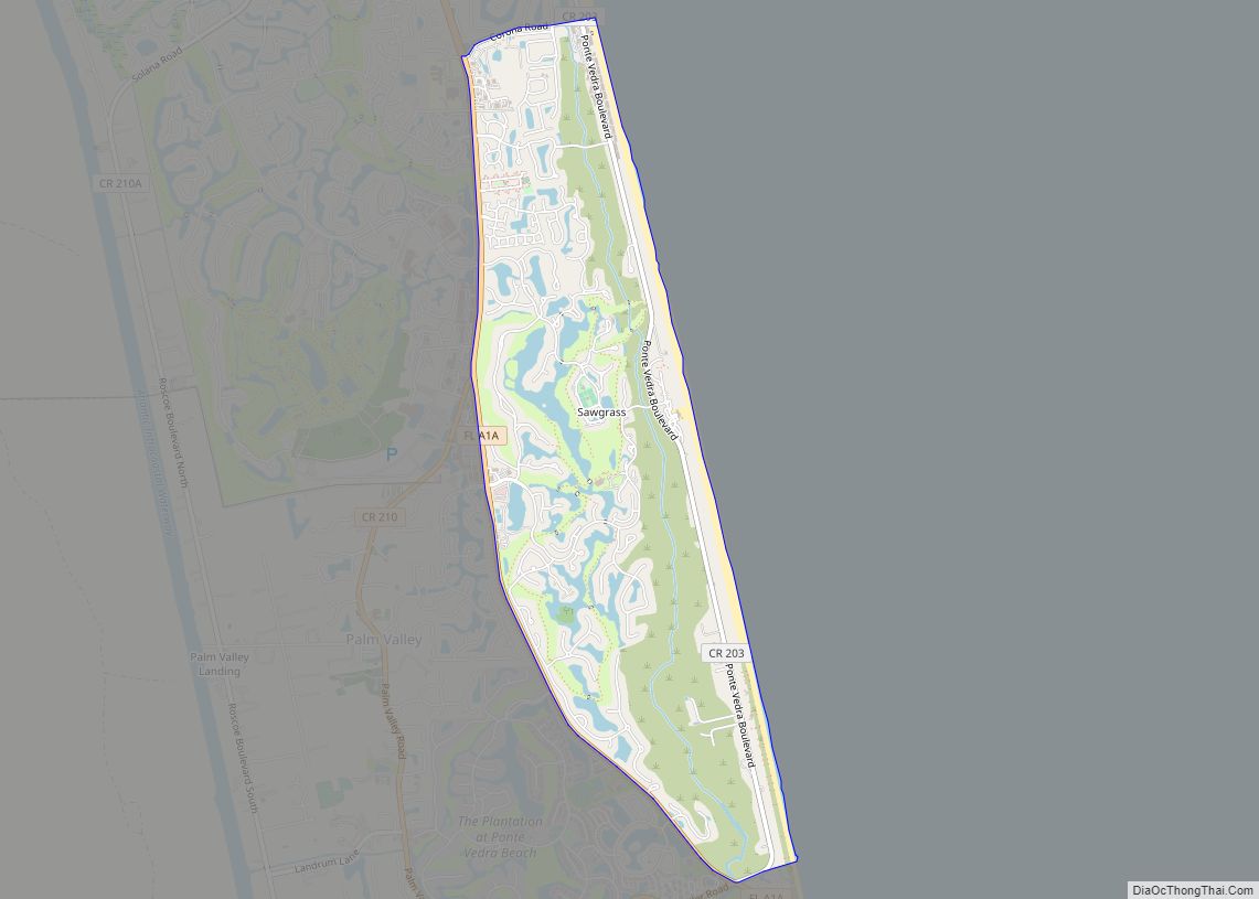
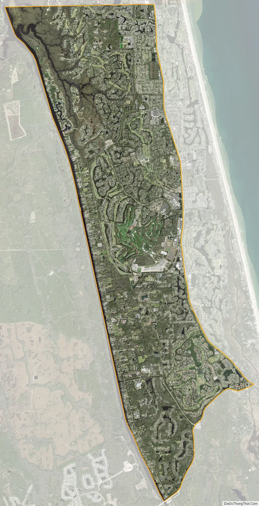
Palm Valley city Satellite Map
Geography
Palm Valley is located at 30°12′24″N 81°23′14″W / 30.20667°N 81.38722°W / 30.20667; -81.38722 (30.206580, -81.387256).
According to the United States Census Bureau, the CDP has a total area of 14.0 square miles (36 km), of which 13.4 square miles (35 km) is land and 0.6 square miles (1.6 km) (4.21%) is water.
The Palm Valley Bridge is a recent addition to the neighborhood.
Neighborhoods
There are approximately six formal neighborhoods with Palm Valleys limited area. These include Palm Valley Landing, Plantation Oaks, Seaside, Odom’s Mill, Dolphin’s cove, and part of Sawgrass between A1A and the intracoastal. Sawgrass is the most notable neighborhood out of these, Palm Valley contains the TPC side of Sawgrass that hosts The Players Club golf tournament annually.
Topography
According to the United States Census Bureau, Palm Valley has a total area of around 14 square miles (36.2 km). From this, 95.71% (13.4 square miles) is land and 4.29% (.6 square miles) is water. Much of the water in Palm Valley is due to small rivers and ponds, as the intracoastal does not count as part of the total area or total water. Palm Valley is a smaller town placed to the east of the intracoastal and to the west of A1A. It is north of Palm Valley Blvd and south of Butler Blvd. Farther west past the intracoastal lies Nocatee. East of A1A lies Ponte Vedra Beaches. North of Butler Blvd lies Jacksonville Beaches. Farther South of Palm Valley Blvd lies St Augustine Beaches.
Climate
According to Weather Spark, Palm Valley has a hot season for around 3.8 months, from May 30th to September 22nd. The cool season lasts for around 3 months, from December 3rd to March 3rd. The wetter season lasts 4 months, from June 2nd to October 2nd. While the drier season lasts for the other 8 months of the year. Palm Valley has extreme seasonal variation in perceived humidity. The humid period lasts for about 6.5 months, from April 26th to November 11th. The most humid day of the year, August 5th, has humid conditions 100% of the day.
See also
Map of Florida State and its subdivision:- Alachua
- Baker
- Bay
- Bradford
- Brevard
- Broward
- Calhoun
- Charlotte
- Citrus
- Clay
- Collier
- Columbia
- Desoto
- Dixie
- Duval
- Escambia
- Flagler
- Franklin
- Gadsden
- Gilchrist
- Glades
- Gulf
- Hamilton
- Hardee
- Hendry
- Hernando
- Highlands
- Hillsborough
- Holmes
- Indian River
- Jackson
- Jefferson
- Lafayette
- Lake
- Lee
- Leon
- Levy
- Liberty
- Madison
- Manatee
- Marion
- Martin
- Miami-Dade
- Monroe
- Nassau
- Okaloosa
- Okeechobee
- Orange
- Osceola
- Palm Beach
- Pasco
- Pinellas
- Polk
- Putnam
- Saint Johns
- Saint Lucie
- Santa Rosa
- Sarasota
- Seminole
- Sumter
- Suwannee
- Taylor
- Union
- Volusia
- Wakulla
- Walton
- Washington
- Alabama
- Alaska
- Arizona
- Arkansas
- California
- Colorado
- Connecticut
- Delaware
- District of Columbia
- Florida
- Georgia
- Hawaii
- Idaho
- Illinois
- Indiana
- Iowa
- Kansas
- Kentucky
- Louisiana
- Maine
- Maryland
- Massachusetts
- Michigan
- Minnesota
- Mississippi
- Missouri
- Montana
- Nebraska
- Nevada
- New Hampshire
- New Jersey
- New Mexico
- New York
- North Carolina
- North Dakota
- Ohio
- Oklahoma
- Oregon
- Pennsylvania
- Rhode Island
- South Carolina
- South Dakota
- Tennessee
- Texas
- Utah
- Vermont
- Virginia
- Washington
- West Virginia
- Wisconsin
- Wyoming