Riverview is an unincorporated census-designated place in Hillsborough County, Florida, United States. It is located south of Brandon. The population was 107,396 in the 2020 census, up from 71,050 in the 2010 census.
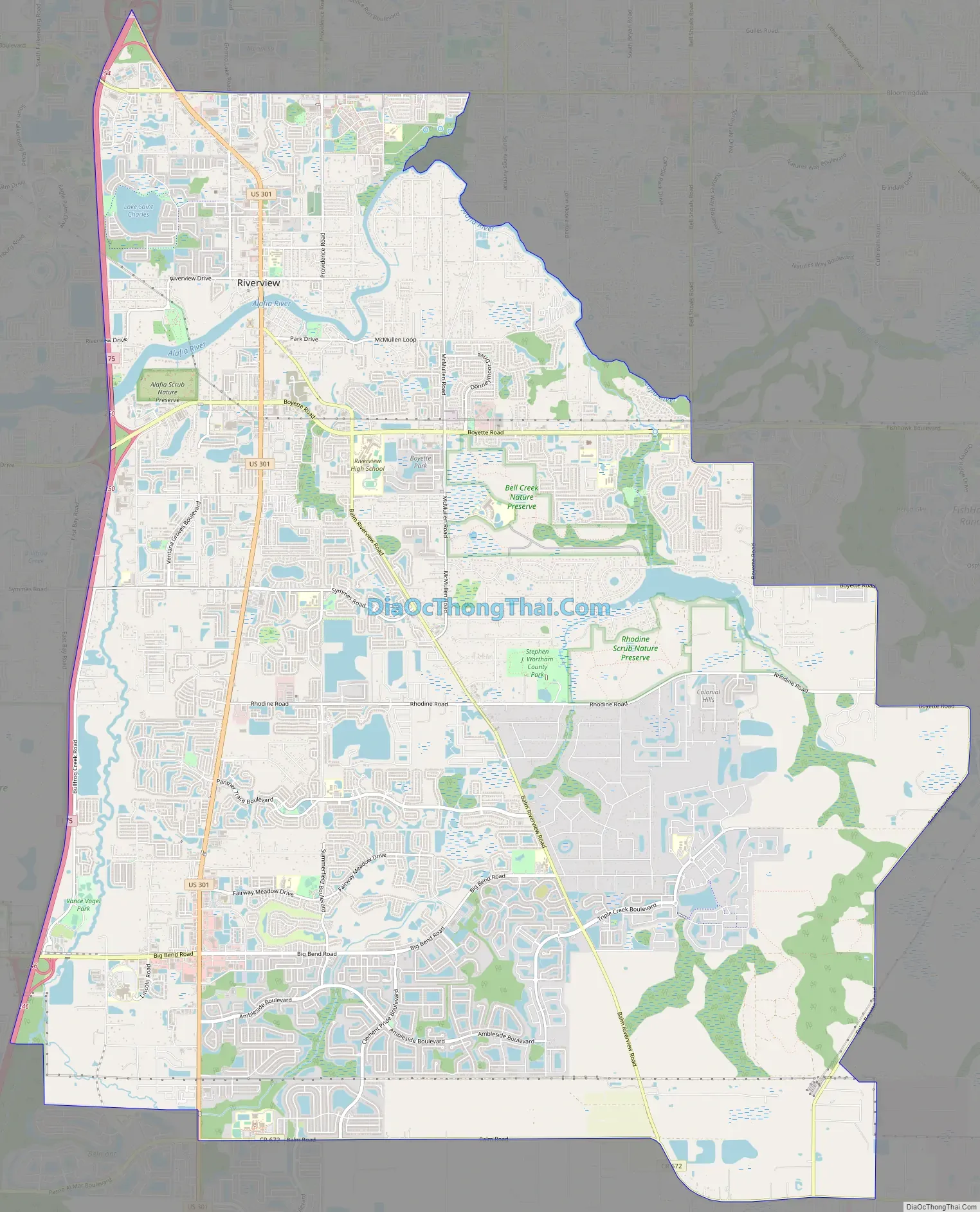
Many of Tampa Bay’s radio and television stations broadcast from an antenna farm in the Riverview area, on Boyette Road, southeast of town. Riverview is home to Bell Creek Nature Preserve.
| Name: | Riverview CDP |
|---|---|
| LSAD Code: | 57 |
| LSAD Description: | CDP (suffix) |
| State: | Florida |
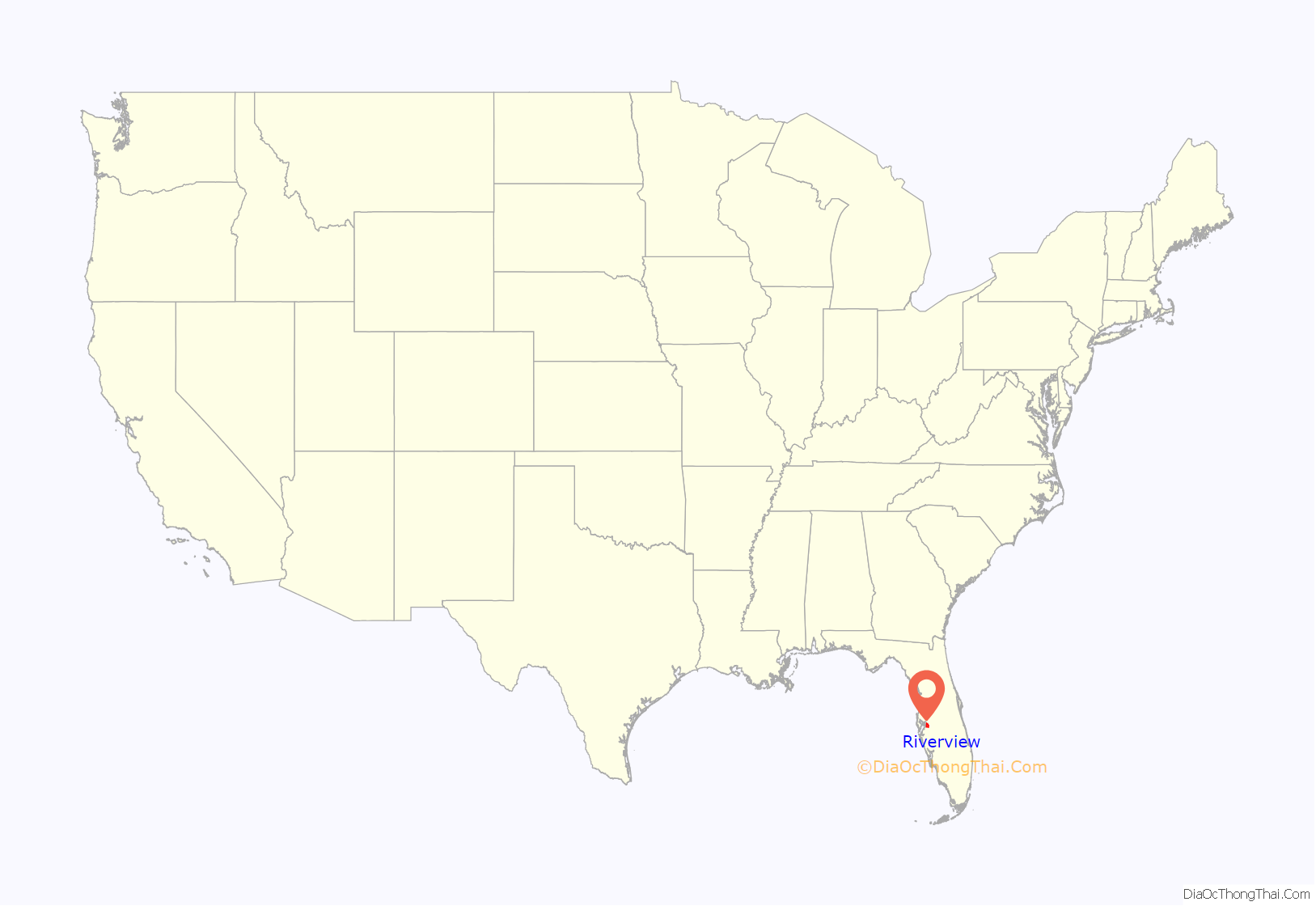
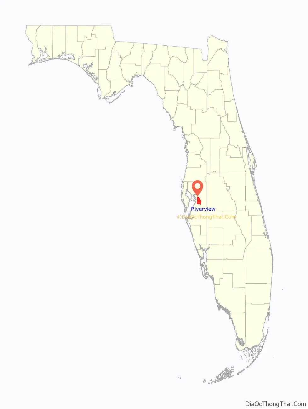
| County: | Hillsborough County |
| Elevation: | 16 ft (5 m) |
| Total Area: | 47.97 sq mi (124.24 km²) |
| Land Area: | 46.18 sq mi (119.61 km²) |
| Water Area: | 1.79 sq mi (4.63 km²) |
| Total Population: | 107,396 |
| Population Density: | 2,325.55/sq mi (897.91/km²) |
| Area code: | 813 |
| FIPS code: | 1260950 |
| GNISfeature ID: | 289753 |
Online Interactive Map
Click on ![]() to view map in "full screen" mode.
to view map in "full screen" mode.
Riverview location map. Where is Riverview CDP?
History
Riverview was founded in 1885 on the Alafia River’s north shore. However, in the 1830s settlers arrived on the south side of the river at an area formerly known as Peru (pronounced “Pe-Roo”) because Peru was an indigenous name for “straight part of the river”. Peru existed for nearly 100 years and was one of the oldest settlements in central Florida. It wasn’t until the 1940s that Riverview absorbed Peru, and now claims the south side of the Alafia River. The Peruvian Mining Company, which mined phosphate from the Alafia, took its name from the settlement. The term “Alafia” is translated as “River of Fire” due to the phosphorus on the early riverbottom glowing at night.
The area’s first school was built in 1893, inside the Peru Baptist Church. The area called Riverview began to be populated on the north side of the river. The two communities were connected by a river ferry. Soon after, a bridge was constructed from sections of a bridge that once spanned the Hillsborough River in downtown Tampa. The post office periodically was moved from the Riverview side to the Peru side of the river and back, causing much tension. The Riverview name eventually came into usage in the early 1940s by the post office to relieve just such confusion with the mail. Peru has disappeared from all but the earliest maps. Some of Peru’s or Riverview’s settlers include the Barnes, Bourgees, Boyettes, Brandons, Buzbees, Hackneys, Hancocks, Hartleys, Mansfields, Moodys, Simmons, Scotts, Symmes, Topes, Thompsons, Whitts, and the Yeomans. The area founded by the Boyette family is now the community of Boyette, located in the eastern part of the Riverview CDP.
The first commercial poultry farm in Florida was established by Emmet and Myrtle Tope in Riverview in 1921.
Riverview Road Map
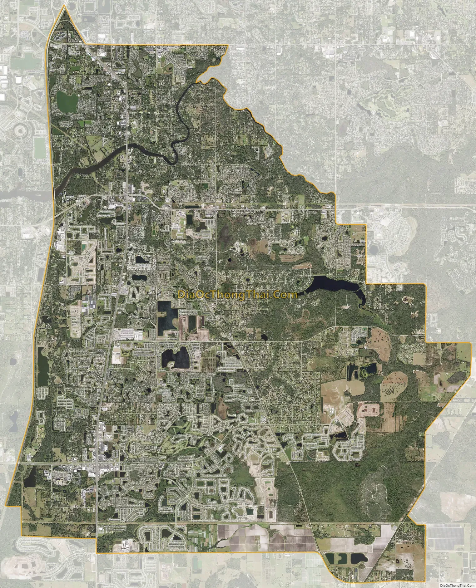
Riverview city Satellite Map
Geography
Riverview is located southeast of the center of Hillsborough County. The Alafia River flows through the northern part of the CDP and forms part of its northeastern border, separating Riverview from Bloomingdale to the northeast. Other neighboring communities, all unincorporated, are Brandon to the north, Palm River-Clair Mel to the northwest, Progress Village and Gibsonton to the west, Apollo Beach to the southwest, Balm to the south, and FishHawk to the east.
Interstate 75 forms the western edge of the Riverview CDP, with access from Exits 246, 250, 254, and 256. U.S. Route 301 runs through the western side of the CDP, parallel to I-75 and through the original settlement of Riverview at the Alafia River. Downtown Tampa is 12 miles (19 km) to the northwest via US-301 and the Selmon Expressway.
According to the United States Census Bureau, the Riverview CDP has a total area of 48.0 square miles (124.3 km), of which 46.2 square miles (119.6 km) are land and 1.8 square miles (4.6 km), or 3.72%, are water.
See also
Map of Florida State and its subdivision:- Alachua
- Baker
- Bay
- Bradford
- Brevard
- Broward
- Calhoun
- Charlotte
- Citrus
- Clay
- Collier
- Columbia
- Desoto
- Dixie
- Duval
- Escambia
- Flagler
- Franklin
- Gadsden
- Gilchrist
- Glades
- Gulf
- Hamilton
- Hardee
- Hendry
- Hernando
- Highlands
- Hillsborough
- Holmes
- Indian River
- Jackson
- Jefferson
- Lafayette
- Lake
- Lee
- Leon
- Levy
- Liberty
- Madison
- Manatee
- Marion
- Martin
- Miami-Dade
- Monroe
- Nassau
- Okaloosa
- Okeechobee
- Orange
- Osceola
- Palm Beach
- Pasco
- Pinellas
- Polk
- Putnam
- Saint Johns
- Saint Lucie
- Santa Rosa
- Sarasota
- Seminole
- Sumter
- Suwannee
- Taylor
- Union
- Volusia
- Wakulla
- Walton
- Washington
- Alabama
- Alaska
- Arizona
- Arkansas
- California
- Colorado
- Connecticut
- Delaware
- District of Columbia
- Florida
- Georgia
- Hawaii
- Idaho
- Illinois
- Indiana
- Iowa
- Kansas
- Kentucky
- Louisiana
- Maine
- Maryland
- Massachusetts
- Michigan
- Minnesota
- Mississippi
- Missouri
- Montana
- Nebraska
- Nevada
- New Hampshire
- New Jersey
- New Mexico
- New York
- North Carolina
- North Dakota
- Ohio
- Oklahoma
- Oregon
- Pennsylvania
- Rhode Island
- South Carolina
- South Dakota
- Tennessee
- Texas
- Utah
- Vermont
- Virginia
- Washington
- West Virginia
- Wisconsin
- Wyoming


