Sawgrass is a census-designated place (CDP) in St. Johns County, Florida, United States. The population was 4,880 per the 2010. This population change is a -1.3% decrease since 2000. The area is located in Ponte Vedra Beach. Sawgrass is home to The Players Championship (TPC), established in 1974. The tournament offers the highest prize fund of any tournament in golf.
| Name: | Sawgrass CDP |
|---|---|
| LSAD Code: | 57 |
| LSAD Description: | CDP (suffix) |
| State: | Florida |
| County: | St. Johns County |
| Elevation: | 3 ft (0.9 m) |
| Total Area: | 3.37 sq mi (8.73 km²) |
| Land Area: | 3.02 sq mi (7.83 km²) |
| Water Area: | 0.35 sq mi (0.90 km²) |
| Total Population: | 5,385 |
| Population Density: | 1,780.17/sq mi (687.34/km²) |
| Area code: | 904 |
| FIPS code: | 1264525 |
| GNISfeature ID: | 2402826 |
| Website: | www.sawgrasscommunity.com |
Online Interactive Map
Click on ![]() to view map in "full screen" mode.
to view map in "full screen" mode.
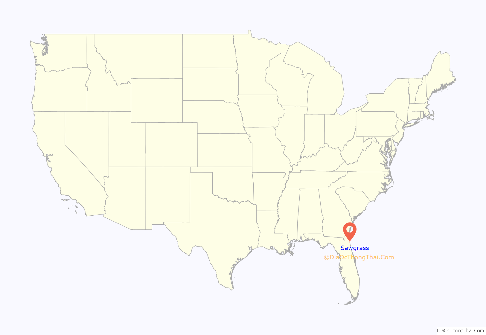
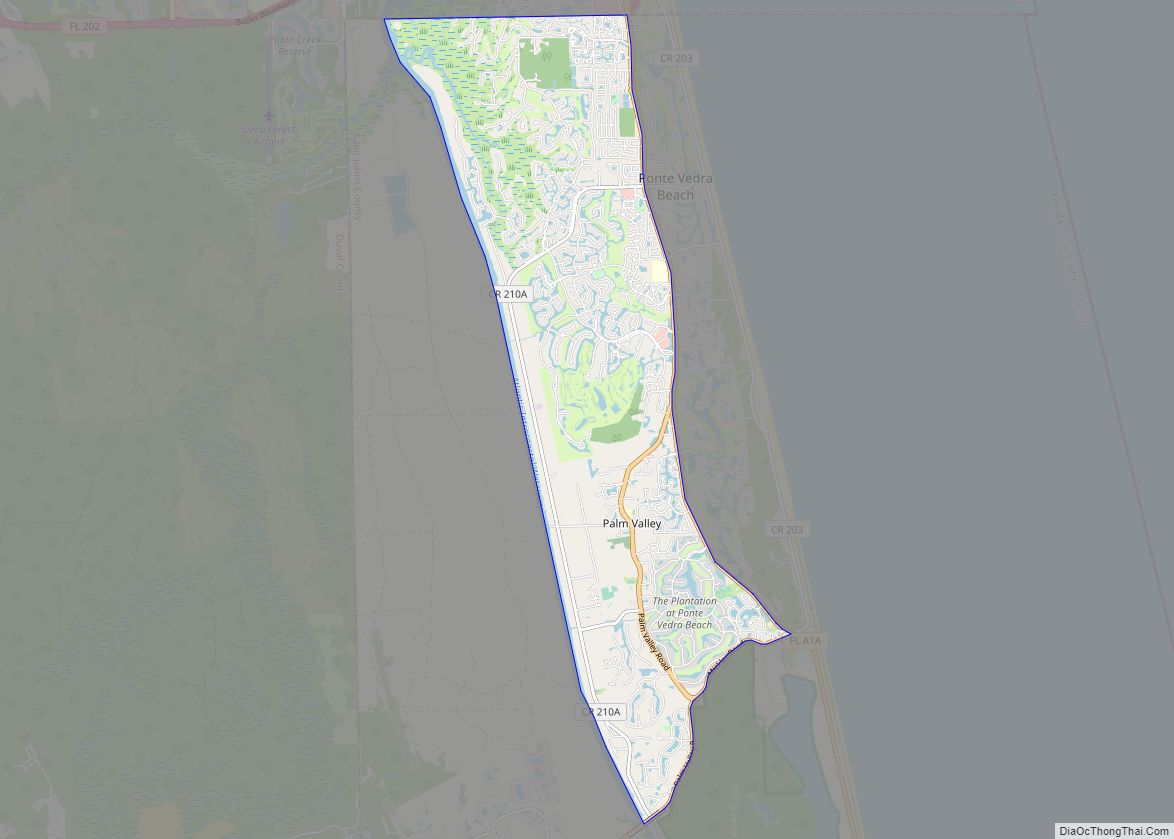
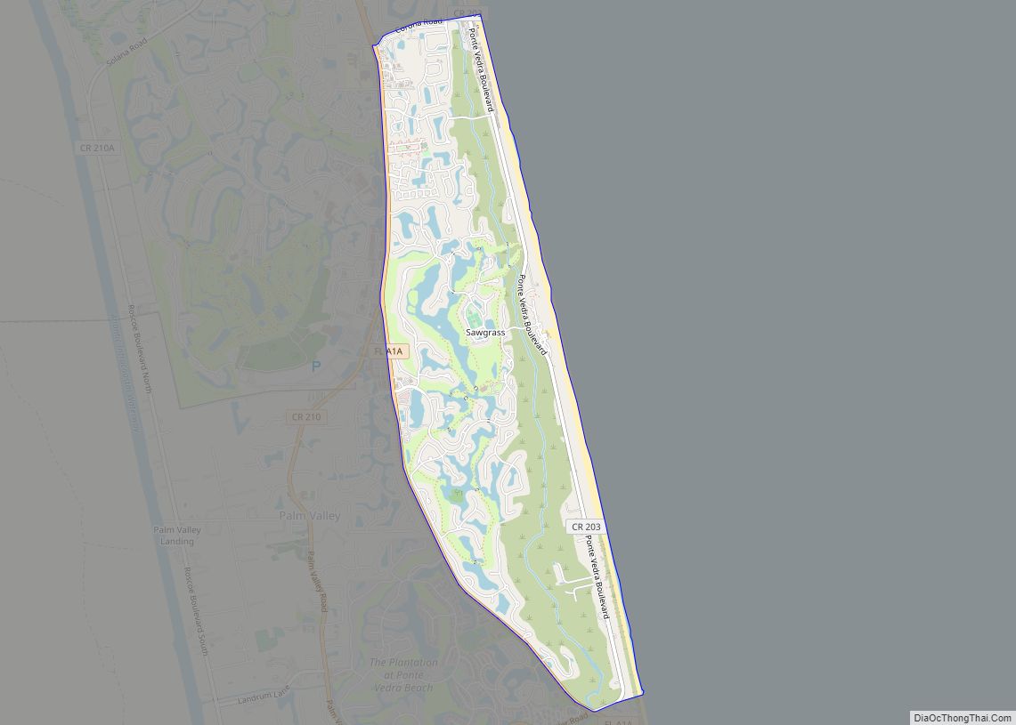
Sawgrass location map. Where is Sawgrass CDP?
History
Initial development was done by James Stockton Jr., son of a principal of Stockton, Whatley, Davin & Co. one of the biggest names in mortgage banking, real estate and insurance in the southeast U.S. While on safari in Africa in 1970, he envisioned another golf course resort development like Ponte Vedra in the wild landscape along the coast. After he returned to Florida, he purchased 1,600 feet of ocean frontage near property SWD had available since the 1960s. He engaged a golf course architect and an engineering firm to draw plans for a new development that eventually encompassed 1,200 acres.
At one point Stockton had doubts about using the name, Sawgrass. The plant is common to wet, marshy, mucky ground like the Everglades and the leaves have sharp, often serrated (sawtooth-like) margins. However, when most people hear the term sawgrass, they think of Pampas grass, its first cousin.
The developer recalled that there were 140 units sold in the first year, but in 1973, scandal forced Spiro Agnew to resign as Vice President, the Arab Oil embargo began and Richard Nixon resigned the following year. With the country in turmoil, sales dropped to nine and Stockton became concerned about being successful. All the money from sales was plowed back into the development and business was difficult for a few years. Fortunately, two events helped turn it around. First, Jacksonville began construction of J. Turner Butler Boulevard, a limited-access expressway to the Atlantic Ocean, just north of Ponte Vedra Beach. The commute time from the beaches to downtown was cut in half. Second, Paul and Jerome Fletcher agreed to sell 415 acres (1.68 km) adjoining Sawgrass to the PGA Tour for one dollar. That land became TPC Sawgrass, the first of several Tournament Players Clubs.
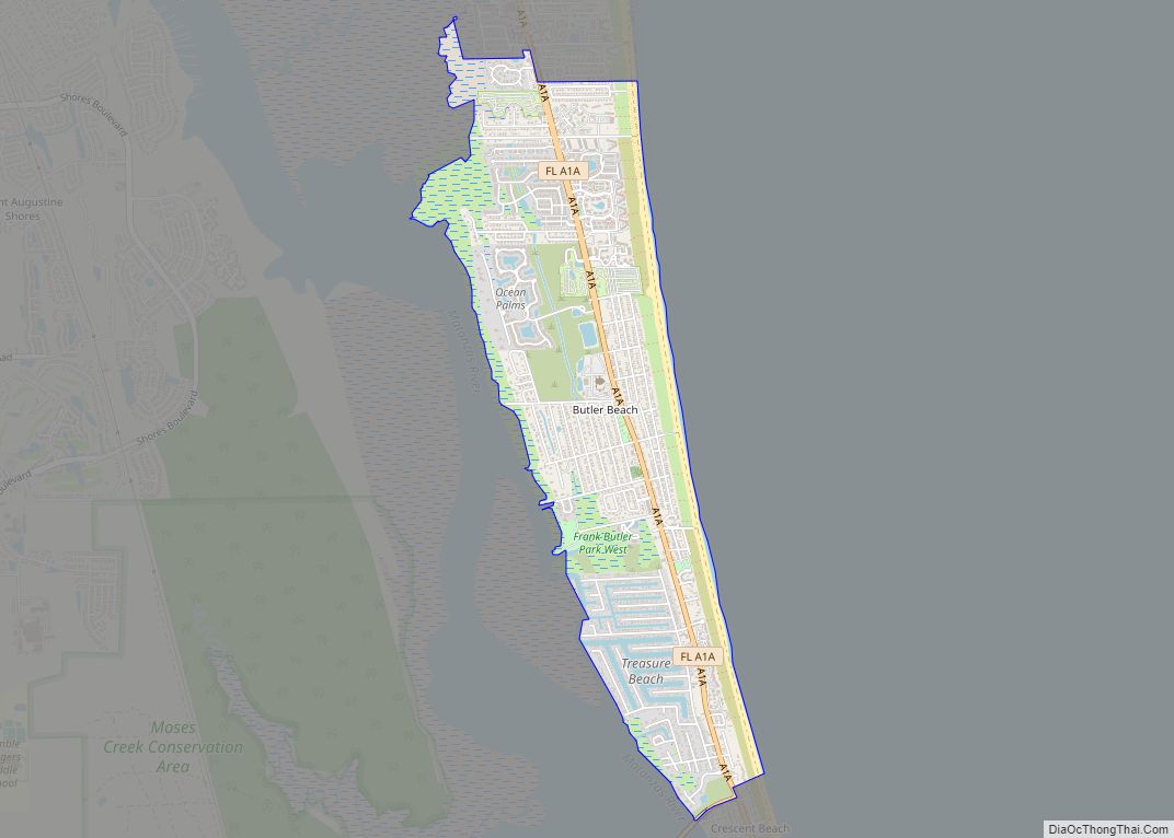
Sawgrass Road Map
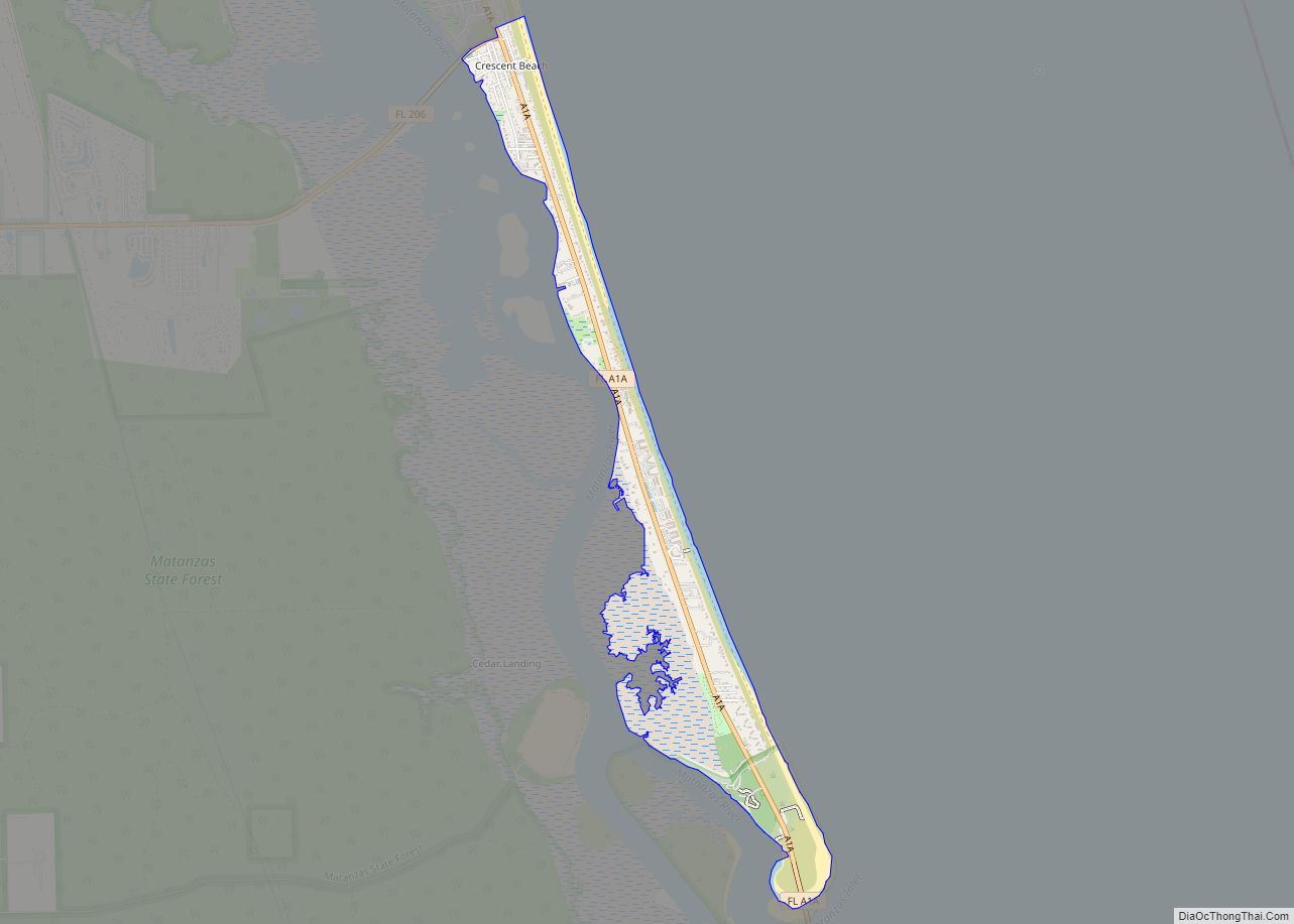
Sawgrass city Satellite Map
Geography
Sawgrass is located at 30°11′34″N 81°22′22″W / 30.19278°N 81.37278°W / 30.19278; -81.37278 (30.192742, -81.372668).
According to the United States Census Bureau, the CDP has a total area of 3.2 square miles (8.3 km), of which 3.1 square miles (8.0 km) is land and 0.1 square miles (0.26 km) (4.33%) is water
TPC Sawgrass Players Club
This upscale community in Ponte Vedra Beach consists of 1,200 acres. Located between the Atlantic Ocean and the Intracoastal Waterway, Sawgrass Players Club, a gated community, holds 16 neighborhoods, a retirement community called Vicar’s Landing, the Oak Bridge Golf and Country Club, and the famous golf course, the TPC Sawgrass.
Sawgrass Country Club
Located in Ponte Vedra Beach, this residential area resides to the east of A1A. There are 38 smaller neighborhoods within the large gated community. Within Sawgrass Country Club, there is a private golf course with amenities and a beach club across the street. Membership is required.
See also
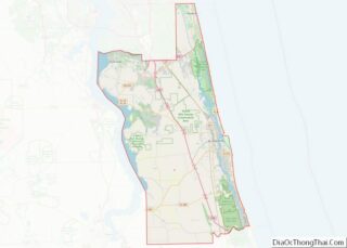
Map of Florida State and its subdivision:- Alachua
- Baker
- Bay
- Bradford
- Brevard
- Broward
- Calhoun
- Charlotte
- Citrus
- Clay
- Collier
- Columbia
- Desoto
- Dixie
- Duval
- Escambia
- Flagler
- Franklin
- Gadsden
- Gilchrist
- Glades
- Gulf
- Hamilton
- Hardee
- Hendry
- Hernando
- Highlands
- Hillsborough
- Holmes
- Indian River
- Jackson
- Jefferson
- Lafayette
- Lake
- Lee
- Leon
- Levy
- Liberty
- Madison
- Manatee
- Marion
- Martin
- Miami-Dade
- Monroe
- Nassau
- Okaloosa
- Okeechobee
- Orange
- Osceola
- Palm Beach
- Pasco
- Pinellas
- Polk
- Putnam
- Saint Johns
- Saint Lucie
- Santa Rosa
- Sarasota
- Seminole
- Sumter
- Suwannee
- Taylor
- Union
- Volusia
- Wakulla
- Walton
- Washington
- Alabama
- Alaska
- Arizona
- Arkansas
- California
- Colorado
- Connecticut
- Delaware
- District of Columbia
- Florida
- Georgia
- Hawaii
- Idaho
- Illinois
- Indiana
- Iowa
- Kansas
- Kentucky
- Louisiana
- Maine
- Maryland
- Massachusetts
- Michigan
- Minnesota
- Mississippi
- Missouri
- Montana
- Nebraska
- Nevada
- New Hampshire
- New Jersey
- New Mexico
- New York
- North Carolina
- North Dakota
- Ohio
- Oklahoma
- Oregon
- Pennsylvania
- Rhode Island
- South Carolina
- South Dakota
- Tennessee
- Texas
- Utah
- Vermont
- Virginia
- Washington
- West Virginia
- Wisconsin
- Wyoming
