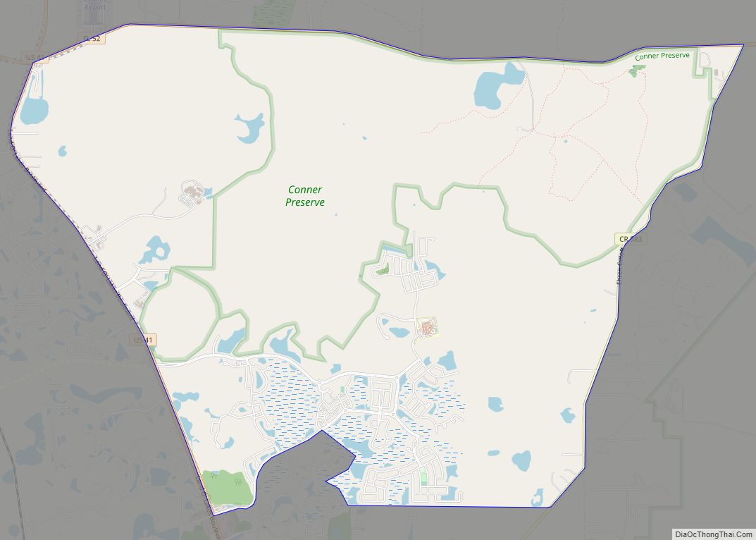
Trinity is a census-designated place (CDP) in Pasco County, Florida, United States. The population was 10,907 in 2010, according to the most recent census. The Trinity Community is named after Trinity College of Florida, a Bible college founded in 1932, when it relocated to the first occupied site in the communities developed by James Gills in the late 1980s. The main plaza is found near the high school, known as Mitchell Ranch Plaza. Trinity is located at the junction where Pasco, Hillsborough and Pinellas Counties meet. The community of Longleaf is located in Trinity and it is believed that the “Welcome Plank” originated in Longleaf.
| Name: | Trinity CDP |
|---|---|
| LSAD Code: | 57 |
| LSAD Description: | CDP (suffix) |
| State: | Florida |
| County: | Pasco County |
| Elevation: | 20 ft (6 m) |
| Total Area: | 6.27 sq mi (16.23 km²) |
| Land Area: | 6.19 sq mi (16.02 km²) |
| Water Area: | 0.08 sq mi (0.21 km²) |
| Total Population: | 11,924 |
| Population Density: | 1,927.58/sq mi (744.22/km²) |
| ZIP code: | 34655 |
| Area code: | 727 |
| FIPS code: | 1272442 |
| GNISfeature ID: | 1853296 |
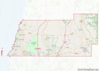
Online Interactive Map
Click on ![]() to view map in "full screen" mode.
to view map in "full screen" mode.
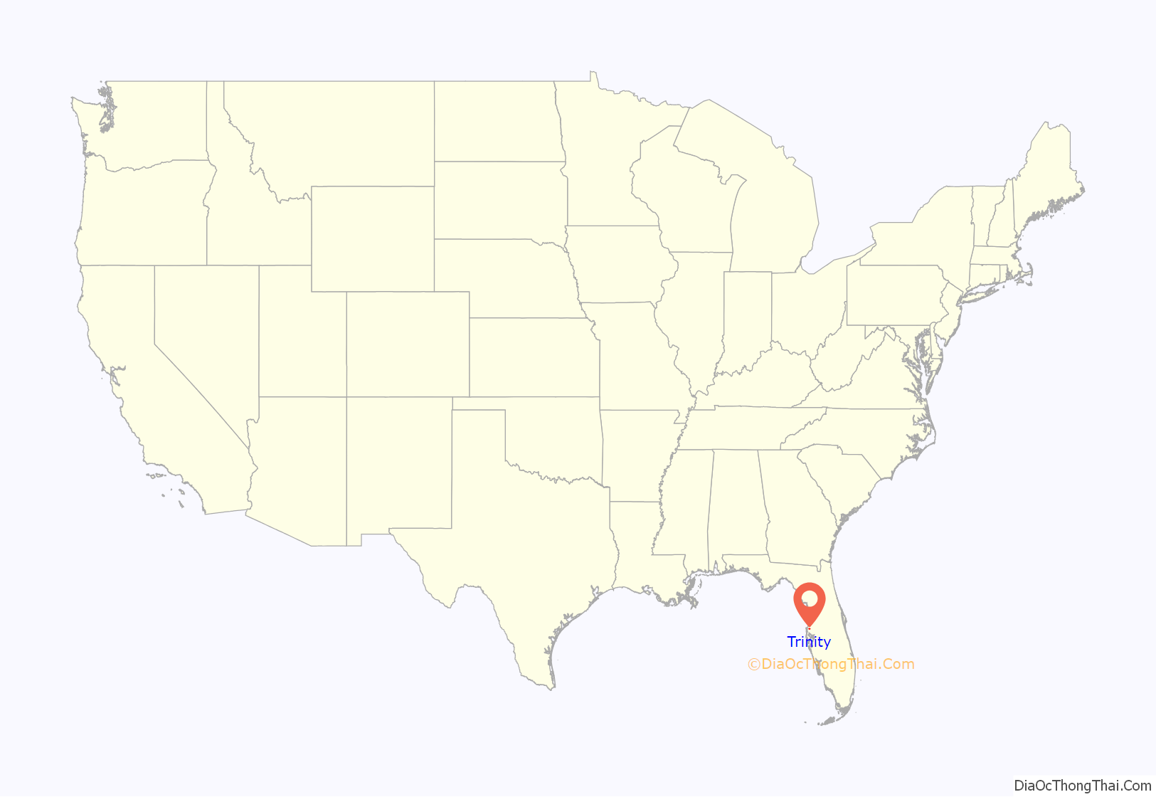
Trinity location map. Where is Trinity CDP?
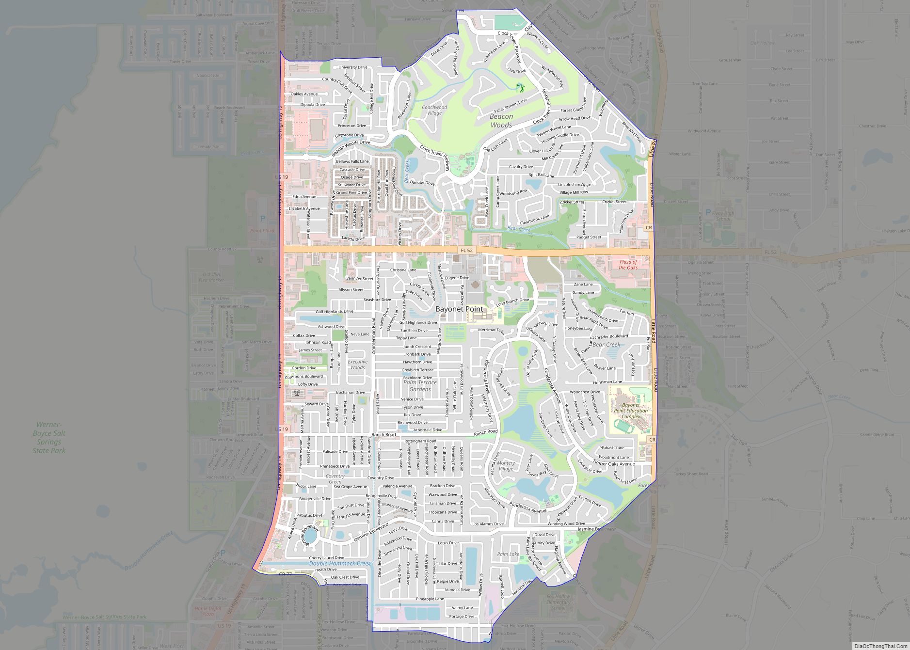
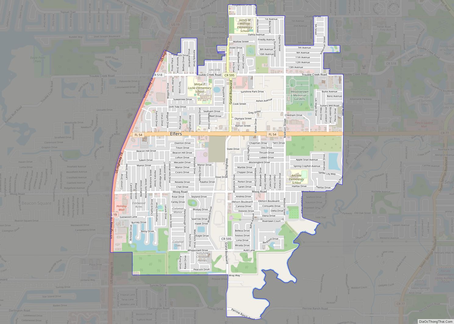
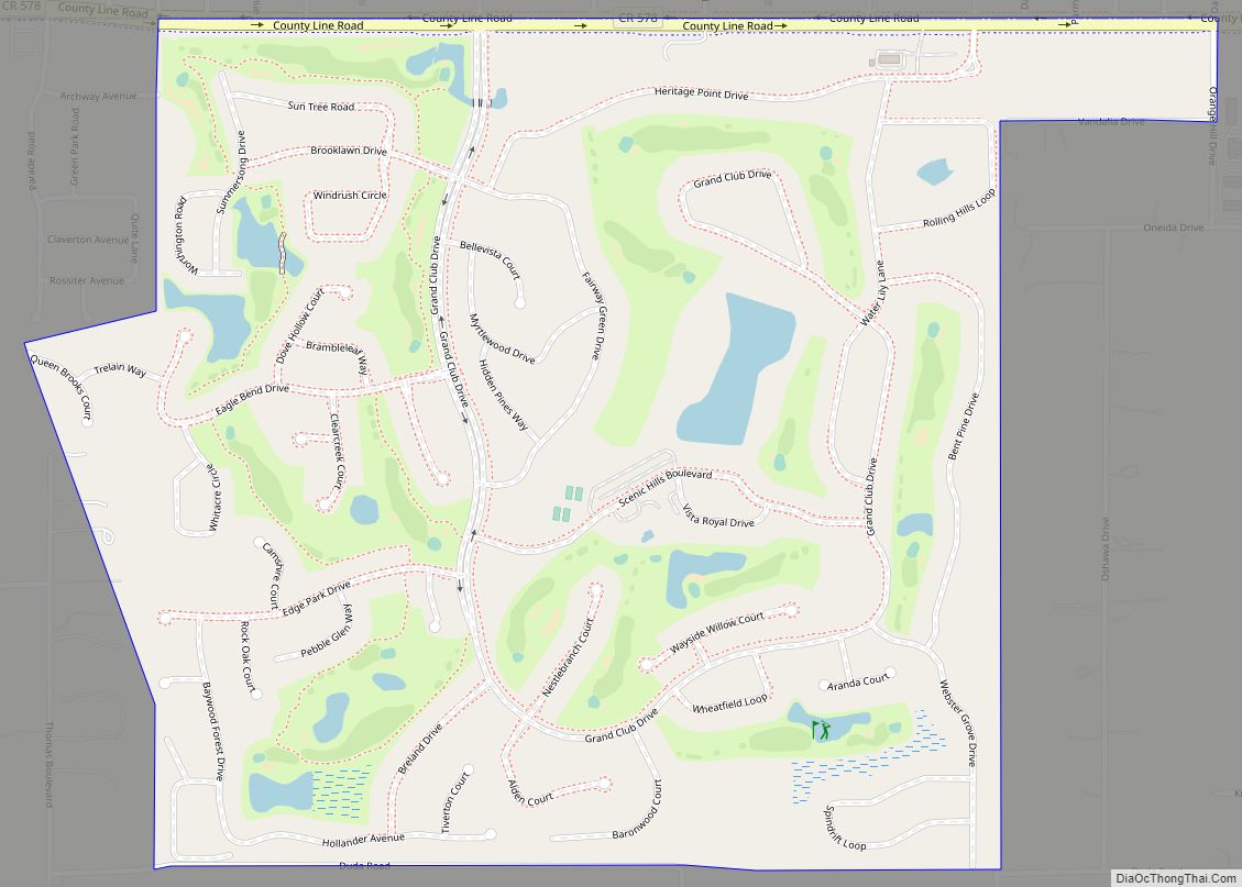
Trinity Road Map
Trinity city Satellite Map
Geography
Trinity is located at 28°10′40″N 82°40′16″W / 28.17778°N 82.67111°W / 28.17778; -82.67111 (28.177854, -82.671139).
According to the United States Census Bureau, the CDP has a total area of 4.7 square miles (12 km), all land.
Trinity is a community just north of the Pinellas and Hillsborough county borders in West Pasco County. It is currently considered part of the New Port Richey area.
The town of Trinity consists of higher priced single family homes and two luxury apartment complexes. A majority of Trinity is the Trinity Communities, which is made up of Champions Club, Trinity Oaks, Thousand Oaks, Wyndtree, Chelsea Place, Natures Hideaway, Foxwood, Trinity West and East, Heritage Springs and The Villages Of Trinity Lakes. Pasco County Fire-Rescue Station #17 covers most of Trinity and Station #15 has some areas. The Pasco County Sheriff’s office is the primary law enforcement agency, with the Florida Highway Patrol covering some major roadways.
See also
Map of Florida State and its subdivision:- Alachua
- Baker
- Bay
- Bradford
- Brevard
- Broward
- Calhoun
- Charlotte
- Citrus
- Clay
- Collier
- Columbia
- Desoto
- Dixie
- Duval
- Escambia
- Flagler
- Franklin
- Gadsden
- Gilchrist
- Glades
- Gulf
- Hamilton
- Hardee
- Hendry
- Hernando
- Highlands
- Hillsborough
- Holmes
- Indian River
- Jackson
- Jefferson
- Lafayette
- Lake
- Lee
- Leon
- Levy
- Liberty
- Madison
- Manatee
- Marion
- Martin
- Miami-Dade
- Monroe
- Nassau
- Okaloosa
- Okeechobee
- Orange
- Osceola
- Palm Beach
- Pasco
- Pinellas
- Polk
- Putnam
- Saint Johns
- Saint Lucie
- Santa Rosa
- Sarasota
- Seminole
- Sumter
- Suwannee
- Taylor
- Union
- Volusia
- Wakulla
- Walton
- Washington
- Alabama
- Alaska
- Arizona
- Arkansas
- California
- Colorado
- Connecticut
- Delaware
- District of Columbia
- Florida
- Georgia
- Hawaii
- Idaho
- Illinois
- Indiana
- Iowa
- Kansas
- Kentucky
- Louisiana
- Maine
- Maryland
- Massachusetts
- Michigan
- Minnesota
- Mississippi
- Missouri
- Montana
- Nebraska
- Nevada
- New Hampshire
- New Jersey
- New Mexico
- New York
- North Carolina
- North Dakota
- Ohio
- Oklahoma
- Oregon
- Pennsylvania
- Rhode Island
- South Carolina
- South Dakota
- Tennessee
- Texas
- Utah
- Vermont
- Virginia
- Washington
- West Virginia
- Wisconsin
- Wyoming
