Welaka is a town situated on the St. Johns River in Putnam County, Florida, United States. The population was 701 as of the 2010 census. According to the U.S. Census Bureau’s 2018 estimates, the town had a population of 712. The town is part of the Palatka Micropolitan Statistical Area.
| Name: | Welaka town |
|---|---|
| LSAD Code: | 43 |
| LSAD Description: | town (suffix) |
| State: | Florida |
| County: | Putnam County |
| Elevation: | 26 ft (8 m) |
| Total Area: | 1.51 sq mi (3.91 km²) |
| Land Area: | 1.47 sq mi (3.82 km²) |
| Water Area: | 0.04 sq mi (0.09 km²) |
| Total Population: | 714 |
| Population Density: | 484.40/sq mi (187.03/km²) |
| ZIP code: | 32193 |
| Area code: | 386 |
| FIPS code: | 1275750 |
| GNISfeature ID: | 0306568 |
| Website: | www.welaka-fl.gov |
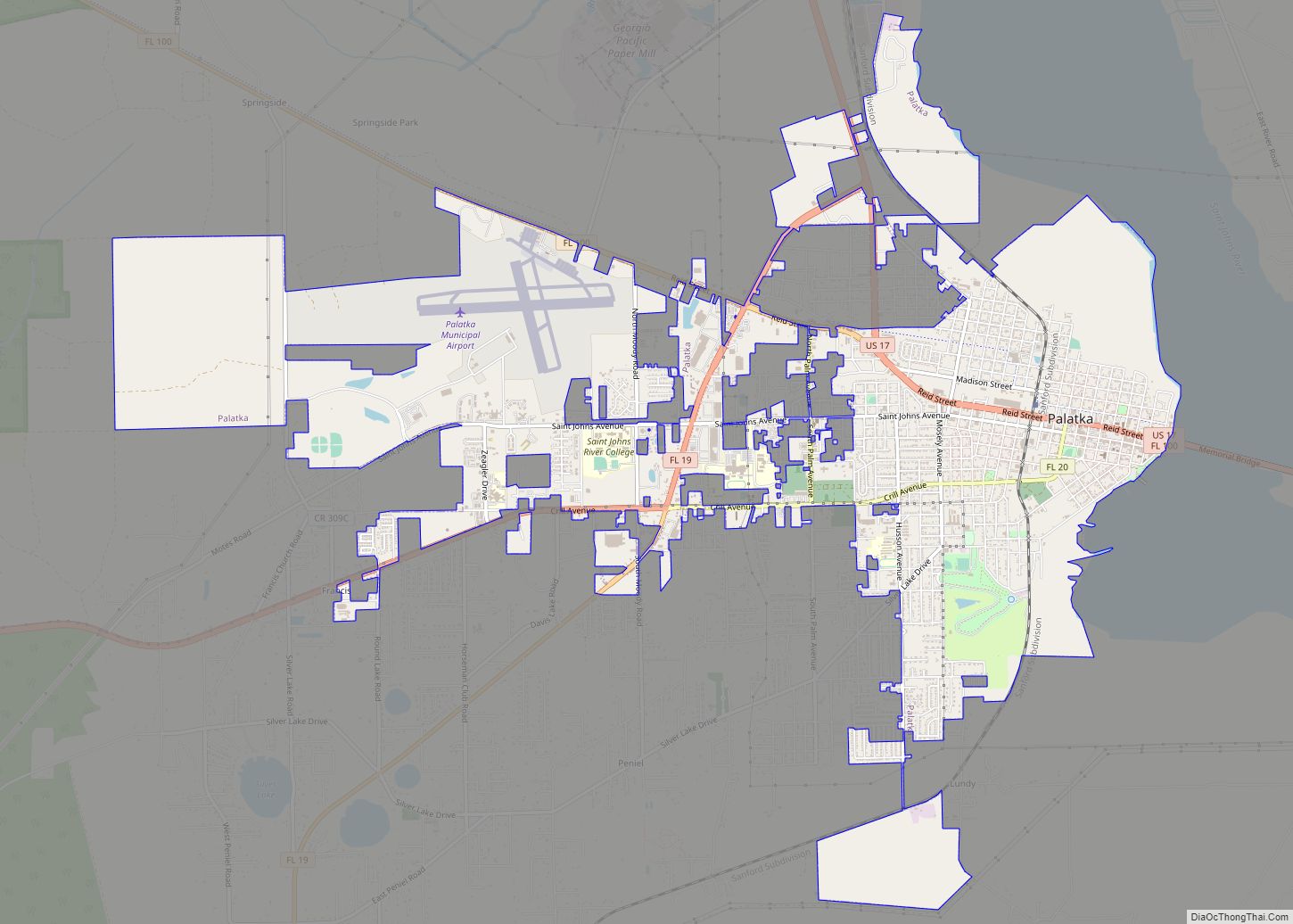
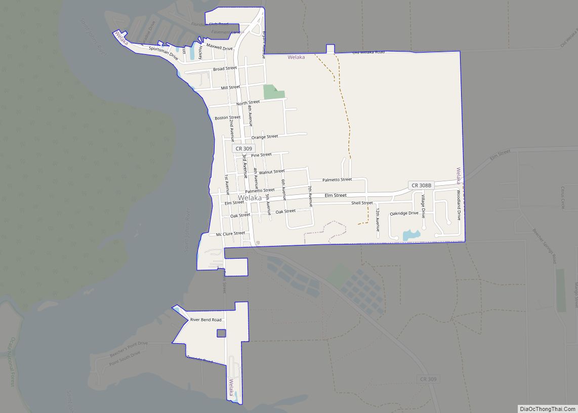
Online Interactive Map
Click on ![]() to view map in "full screen" mode.
to view map in "full screen" mode.
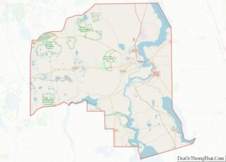
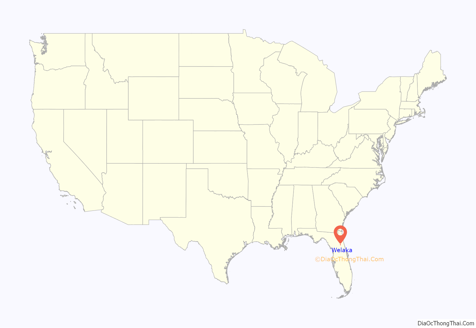
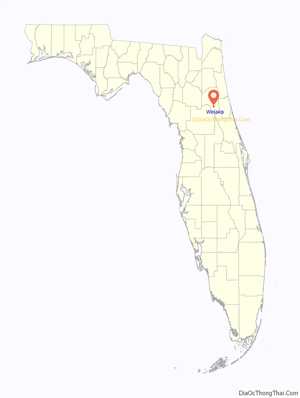
Welaka location map. Where is Welaka town?
History
It is not known when the area was first settled, but the nearby Mount Royal archaeological site is a possible remnant of a Timucua Indian village from c. 1250 CE to 1500 CE, and may have a connection to the town of Enacape, an important center of the Utina tribe.
The settlement was originally a 500-acre tract purchased by James William Bryant in 1852 and was known as Mt. Tucker. Prior to the war, there were large orange groves and cotton plantations. In 1860, Welaka’s population was slightly over 100. At the end of the Civil War, fewer than 20 remained. The town grew again and was incorporated on April 23, 1887, and Welaka was affirmed as the town’s name; the name Welaka is said to have been derived from the word local American Indians used for the St. Johns River. By the 1880s, Welaka had become a resort town, marketing itself to visitors seeking medicinal cures from the mineral water of the local springs. The Welaka Mineral Water Company was incorporated in 1907.
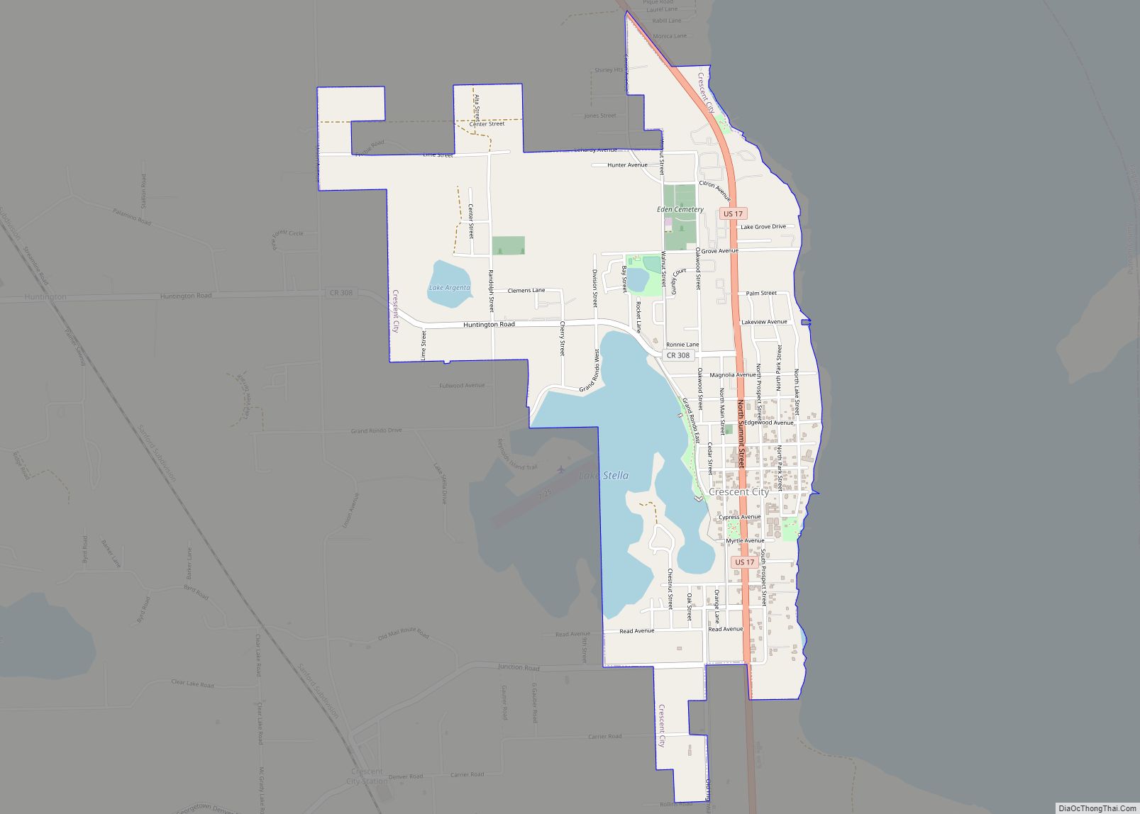
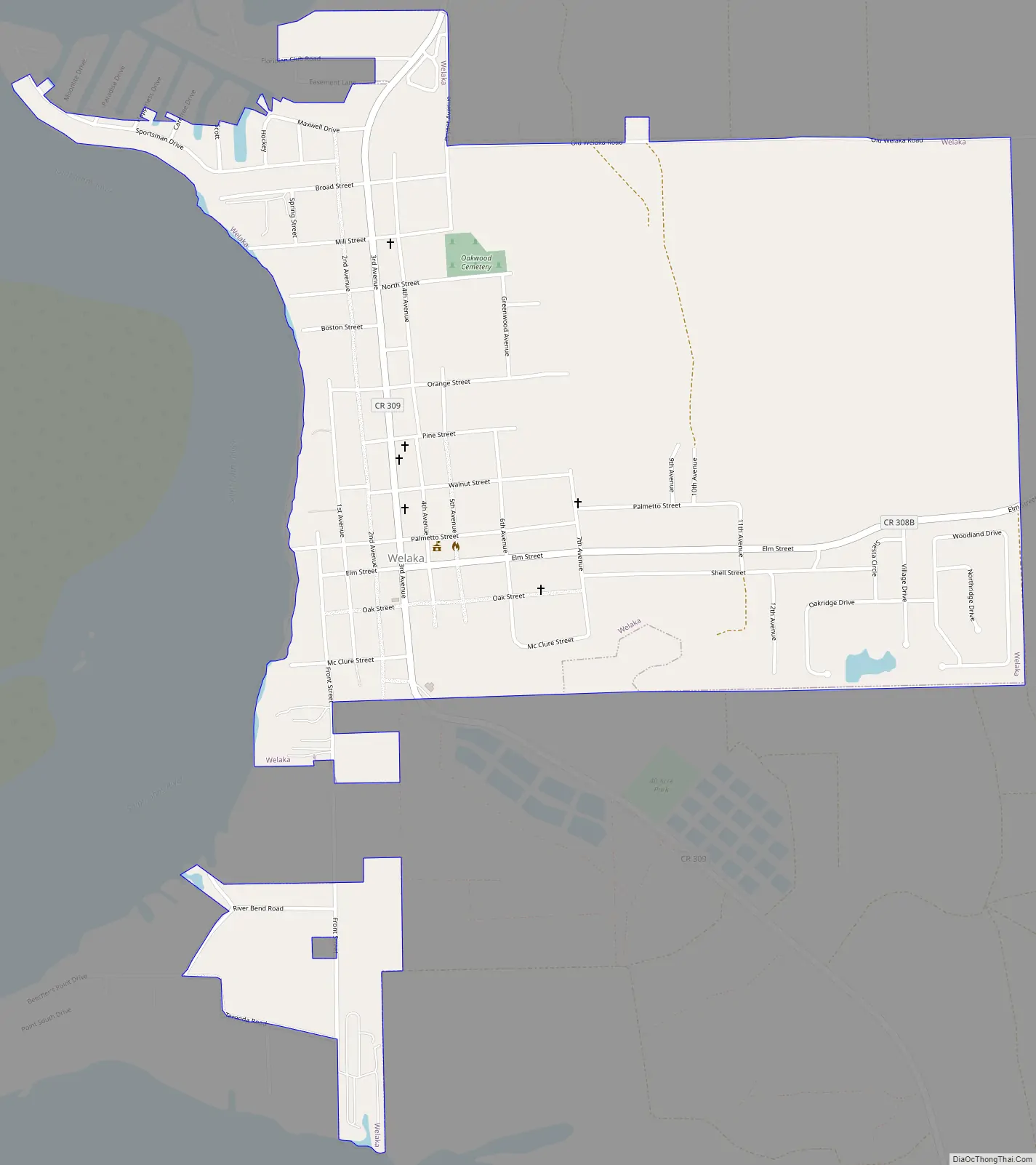
Welaka Road Map
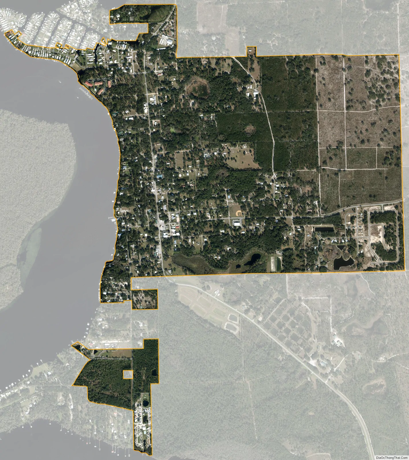
Welaka city Satellite Map
Geography
Welaka is approximately 90 miles south of Jacksonville and is accessible by highway or the Atlantic Ocean via the St. Johns River. It is located at 29°28′54″N 81°40′18″W / 29.48167°N 81.67167°W / 29.48167; -81.67167 (29.481556, –81.671555).
According to the United States Census Bureau, the town has a total area of 1.4 square miles (3.6 km), of which 1.4 square miles (3.6 km) is land and 0.04 square miles (0.10 km) (2.86%) is water.
See also
Map of Florida State and its subdivision:- Alachua
- Baker
- Bay
- Bradford
- Brevard
- Broward
- Calhoun
- Charlotte
- Citrus
- Clay
- Collier
- Columbia
- Desoto
- Dixie
- Duval
- Escambia
- Flagler
- Franklin
- Gadsden
- Gilchrist
- Glades
- Gulf
- Hamilton
- Hardee
- Hendry
- Hernando
- Highlands
- Hillsborough
- Holmes
- Indian River
- Jackson
- Jefferson
- Lafayette
- Lake
- Lee
- Leon
- Levy
- Liberty
- Madison
- Manatee
- Marion
- Martin
- Miami-Dade
- Monroe
- Nassau
- Okaloosa
- Okeechobee
- Orange
- Osceola
- Palm Beach
- Pasco
- Pinellas
- Polk
- Putnam
- Saint Johns
- Saint Lucie
- Santa Rosa
- Sarasota
- Seminole
- Sumter
- Suwannee
- Taylor
- Union
- Volusia
- Wakulla
- Walton
- Washington
- Alabama
- Alaska
- Arizona
- Arkansas
- California
- Colorado
- Connecticut
- Delaware
- District of Columbia
- Florida
- Georgia
- Hawaii
- Idaho
- Illinois
- Indiana
- Iowa
- Kansas
- Kentucky
- Louisiana
- Maine
- Maryland
- Massachusetts
- Michigan
- Minnesota
- Mississippi
- Missouri
- Montana
- Nebraska
- Nevada
- New Hampshire
- New Jersey
- New Mexico
- New York
- North Carolina
- North Dakota
- Ohio
- Oklahoma
- Oregon
- Pennsylvania
- Rhode Island
- South Carolina
- South Dakota
- Tennessee
- Texas
- Utah
- Vermont
- Virginia
- Washington
- West Virginia
- Wisconsin
- Wyoming