Wesley Chapel is a census-designated place in Pasco County, Florida, United States. Wesley Chapel is a suburb in the Tampa Bay Area. Wesley Chapel originated in the mid-1800s as a cohesive community of settlers who demonstrated a uniquely rural authenticity and independence of spirit. Evidence of Native American presence in the area has been documented as early as 10,000 BC. Lumber harvesting and turpentine production became prominent industries, while cash-crop farming, citrus, and livestock ranching provided sustenance for the pioneer settlement. Charcoal kilns, gator hunting, and moonshine stills supplemented incomes and spawned legends. The community was also identified by the monikers Gatorville, Double Branch, and Godwin. From 1897 to 1902, Wesley Chapel boasted its own post office, two sawmills, and a general store. Primitive roads left residents with an informal town nucleus, and services shifted to surrounding towns until the late 20th century, when postal service and incorporation emerged, and the lumber trusts of John D. Rockefeler, Otto Hermann Kahn, and Edwin Wiley morphed into sizable ranches. The pioneer Boyett(e), Gillett(e), Godwin, and Kersey families received land grants in the area in the 1840s. The real influx of settlers, however, began around the Civil War when the Stanleys and Coopers arrived. The population was 44,092 at the 2010 census, making it the most populous community in Pasco County. In 2003, some residents of Wesley Chapel started a movement to incorporate the community as a city (including areas not in the official CDP), but these plans never materialized.
| Name: | Wesley Chapel CDP |
|---|---|
| LSAD Code: | 57 |
| LSAD Description: | CDP (suffix) |
| State: | Florida |
| County: | Pasco County |
| Elevation: | 108 ft (33 m) |
| Total Area: | 44.05 sq mi (114.09 km²) |
| Land Area: | 43.92 sq mi (113.75 km²) |
| Water Area: | 0.13 sq mi (0.33 km²) |
| Total Population: | 64,866 |
| Population Density: | 1,476.88/sq mi (570.23/km²) |
| ZIP code: | 33543-33544-33545 |
| Area code: | 813 |
| FIPS code: | 1275875 |
| GNISfeature ID: | 0294231 |
Online Interactive Map
Click on ![]() to view map in "full screen" mode.
to view map in "full screen" mode.
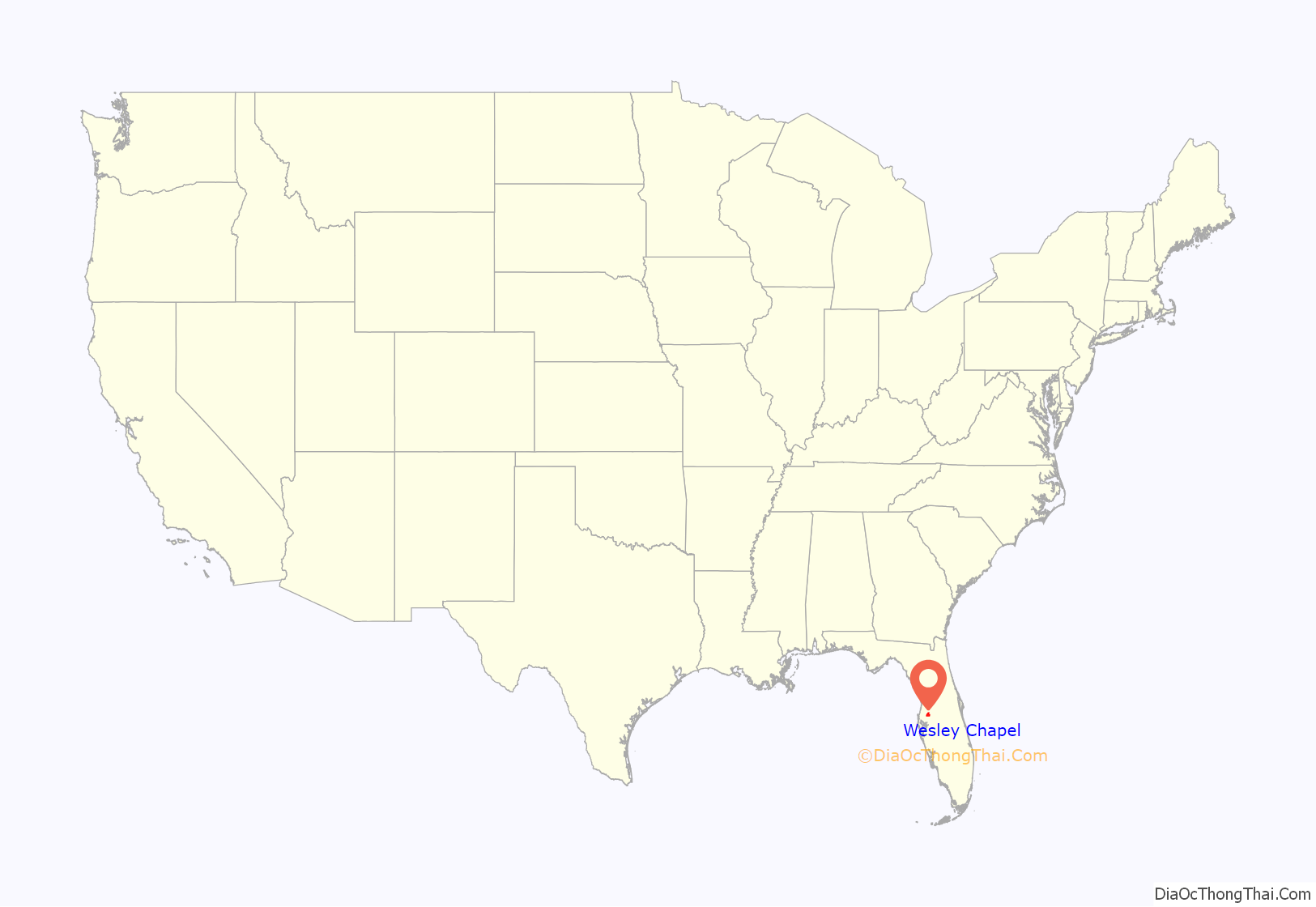
Wesley Chapel location map. Where is Wesley Chapel CDP?
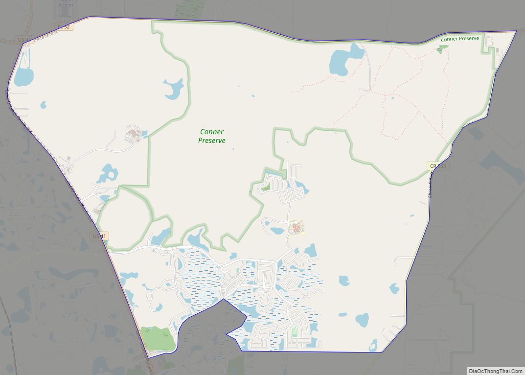
Wesley Chapel Road Map
Wesley Chapel city Satellite Map
Geography
Wesley Chapel is located at 28°10′43″N 82°21′2″W / 28.17861°N 82.35056°W / 28.17861; -82.35056 (28.178688, -82.350676).
According to the United States Census Bureau, the CDP has a total area of 6.1 square miles (16 km), of which 6.1 square miles (16 km) is land and 0.04 square miles (0.10 km) (0.49%) is water.
Residents choose the area because of its proximity to Interstate 75 and Interstate 275, 25 miles north of Downtown Tampa, and other major locales. Adjacent to its south is the region of New Tampa, part of incorporated Tampa.
See also
Map of Florida State and its subdivision:- Alachua
- Baker
- Bay
- Bradford
- Brevard
- Broward
- Calhoun
- Charlotte
- Citrus
- Clay
- Collier
- Columbia
- Desoto
- Dixie
- Duval
- Escambia
- Flagler
- Franklin
- Gadsden
- Gilchrist
- Glades
- Gulf
- Hamilton
- Hardee
- Hendry
- Hernando
- Highlands
- Hillsborough
- Holmes
- Indian River
- Jackson
- Jefferson
- Lafayette
- Lake
- Lee
- Leon
- Levy
- Liberty
- Madison
- Manatee
- Marion
- Martin
- Miami-Dade
- Monroe
- Nassau
- Okaloosa
- Okeechobee
- Orange
- Osceola
- Palm Beach
- Pasco
- Pinellas
- Polk
- Putnam
- Saint Johns
- Saint Lucie
- Santa Rosa
- Sarasota
- Seminole
- Sumter
- Suwannee
- Taylor
- Union
- Volusia
- Wakulla
- Walton
- Washington
- Alabama
- Alaska
- Arizona
- Arkansas
- California
- Colorado
- Connecticut
- Delaware
- District of Columbia
- Florida
- Georgia
- Hawaii
- Idaho
- Illinois
- Indiana
- Iowa
- Kansas
- Kentucky
- Louisiana
- Maine
- Maryland
- Massachusetts
- Michigan
- Minnesota
- Mississippi
- Missouri
- Montana
- Nebraska
- Nevada
- New Hampshire
- New Jersey
- New Mexico
- New York
- North Carolina
- North Dakota
- Ohio
- Oklahoma
- Oregon
- Pennsylvania
- Rhode Island
- South Carolina
- South Dakota
- Tennessee
- Texas
- Utah
- Vermont
- Virginia
- Washington
- West Virginia
- Wisconsin
- Wyoming
