Westchase is a census-designated place (CDP) in Hillsborough County, Florida, United States. The population was 21,747 at the 2010 census, up from 11,116 at the 2000 census. The census area encompasses most of the 33626 ZIP code area.
| Name: | Westchase CDP |
|---|---|
| LSAD Code: | 57 |
| LSAD Description: | CDP (suffix) |
| State: | Florida |
| County: | Hillsborough County |
| Elevation: | 16 ft (5 m) |
| Total Area: | 10.73 sq mi (27.80 km²) |
| Land Area: | 9.98 sq mi (25.84 km²) |
| Water Area: | 0.76 sq mi (1.96 km²) |
| Total Population: | 25,952 |
| Population Density: | 2,601.44/sq mi (1,004.46/km²) |
| ZIP code: | 33626 |
| Area code: | 813 |
| FIPS code: | 1276062 |
| GNISfeature ID: | 1853303 |
Online Interactive Map
Click on ![]() to view map in "full screen" mode.
to view map in "full screen" mode.
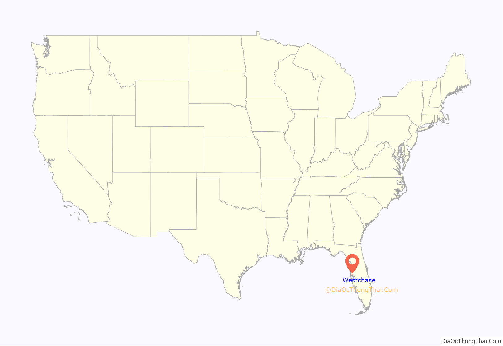
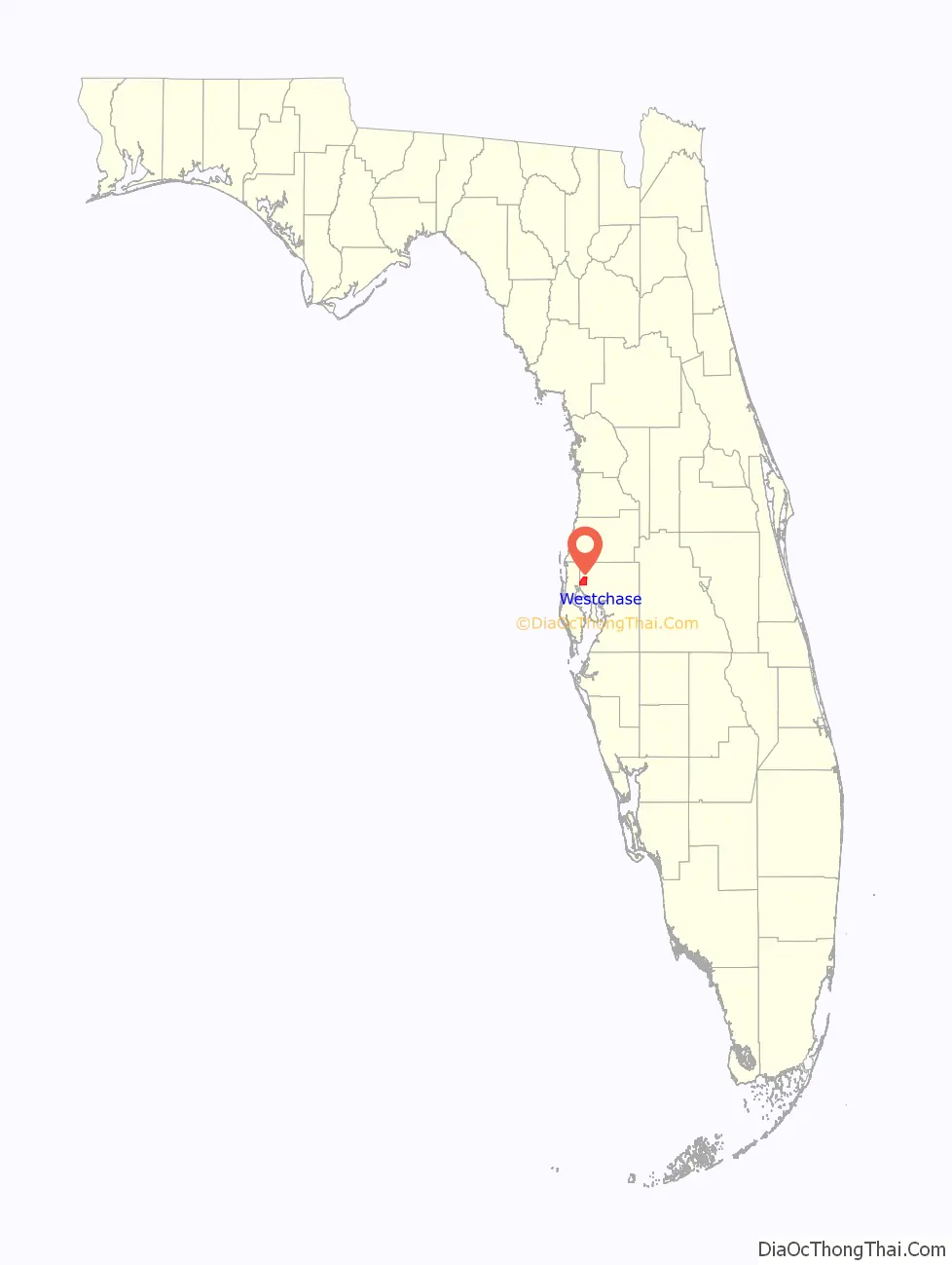
Westchase location map. Where is Westchase CDP?
History
Westchase was founded and constructed on April 15, 1991 with the approval of the Hillsborough County commissioners, and the area went on new development on September 15, 1991.
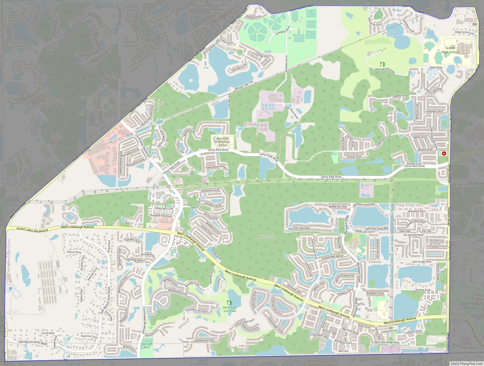
Westchase Road Map
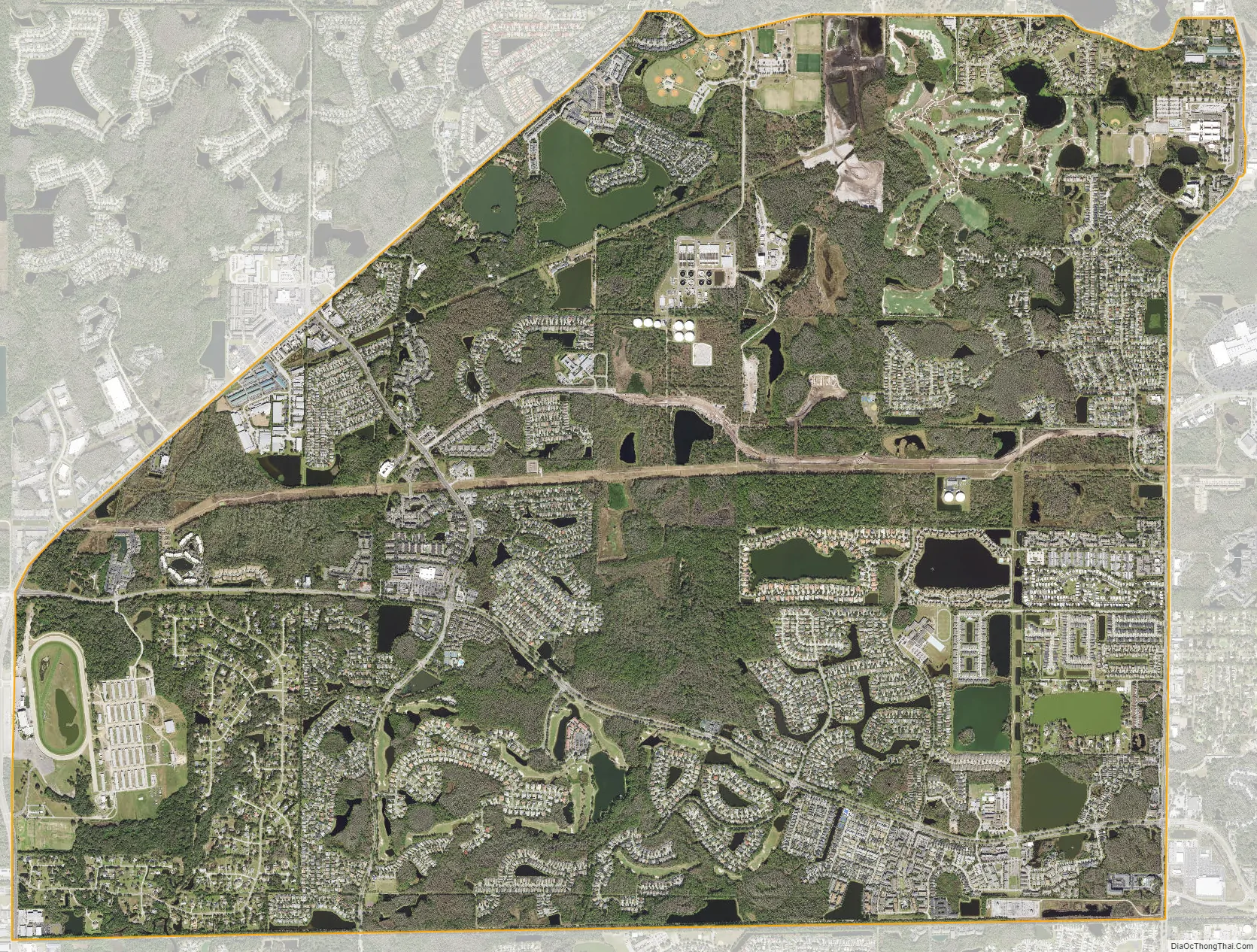
Westchase city Satellite Map
Geography
Westchase is located in northwestern Hillsborough County at 28°3′10″N 82°36′41″W / 28.05278°N 82.61139°W / 28.05278; -82.61139 (28.052799, -82.611352, about 17 miles (27 km) northwest of downtown Tampa. It is bordered to the west by Pinellas County.
According to the United States Census Bureau, the Westchase CDP has a total area of 10.7 square miles (27.8 km), of which 9.9 square miles (25.6 km) are land and 0.85 square miles (2.2 km), or 8.04%, are water.
See also
Map of Florida State and its subdivision:- Alachua
- Baker
- Bay
- Bradford
- Brevard
- Broward
- Calhoun
- Charlotte
- Citrus
- Clay
- Collier
- Columbia
- Desoto
- Dixie
- Duval
- Escambia
- Flagler
- Franklin
- Gadsden
- Gilchrist
- Glades
- Gulf
- Hamilton
- Hardee
- Hendry
- Hernando
- Highlands
- Hillsborough
- Holmes
- Indian River
- Jackson
- Jefferson
- Lafayette
- Lake
- Lee
- Leon
- Levy
- Liberty
- Madison
- Manatee
- Marion
- Martin
- Miami-Dade
- Monroe
- Nassau
- Okaloosa
- Okeechobee
- Orange
- Osceola
- Palm Beach
- Pasco
- Pinellas
- Polk
- Putnam
- Saint Johns
- Saint Lucie
- Santa Rosa
- Sarasota
- Seminole
- Sumter
- Suwannee
- Taylor
- Union
- Volusia
- Wakulla
- Walton
- Washington
- Alabama
- Alaska
- Arizona
- Arkansas
- California
- Colorado
- Connecticut
- Delaware
- District of Columbia
- Florida
- Georgia
- Hawaii
- Idaho
- Illinois
- Indiana
- Iowa
- Kansas
- Kentucky
- Louisiana
- Maine
- Maryland
- Massachusetts
- Michigan
- Minnesota
- Mississippi
- Missouri
- Montana
- Nebraska
- Nevada
- New Hampshire
- New Jersey
- New Mexico
- New York
- North Carolina
- North Dakota
- Ohio
- Oklahoma
- Oregon
- Pennsylvania
- Rhode Island
- South Carolina
- South Dakota
- Tennessee
- Texas
- Utah
- Vermont
- Virginia
- Washington
- West Virginia
- Wisconsin
- Wyoming


