Winter Garden is a city 14 miles (23 km) west of Downtown Orlando in the western part of Orange County, Florida, United States. It is part of the Orlando–Kissimmee–Sanford, Florida Metropolitan Statistical Area. Its population was 46,964 as of 2020.
| Name: | Winter Garden city |
|---|---|
| LSAD Code: | 25 |
| LSAD Description: | city (suffix) |
| State: | Florida |
| County: | Orange County |
| Elevation: | 125 ft (38 m) |
| Total Area: | 17.98 sq mi (46.56 km²) |
| Land Area: | 16.33 sq mi (42.29 km²) |
| Water Area: | 1.65 sq mi (4.27 km²) |
| Total Population: | 46,964 |
| Population Density: | 2,876.46/sq mi (1,110.60/km²) |
| ZIP code: | 34777, 34778, 34787 |
| Area code: | 407, 689 |
| FIPS code: | 1278250 |
| GNISfeature ID: | 0293423 |
| Website: | www.cwgdn.com |
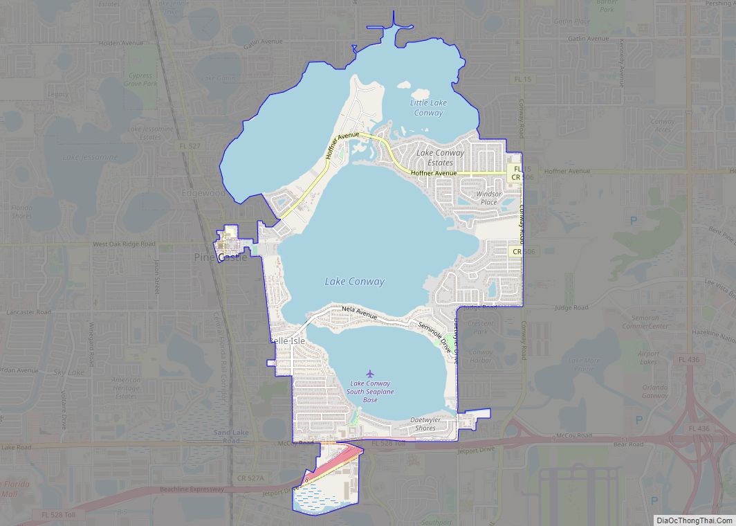
Online Interactive Map
Click on ![]() to view map in "full screen" mode.
to view map in "full screen" mode.
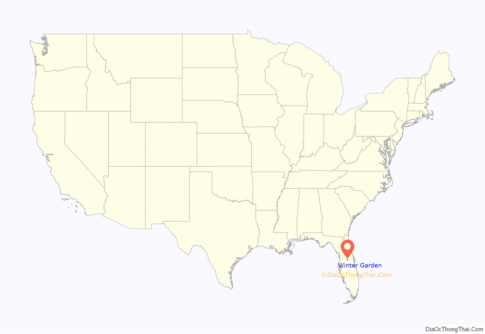
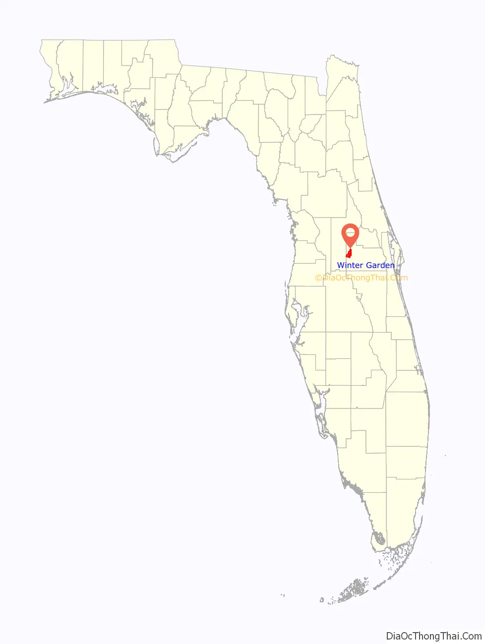
Winter Garden location map. Where is Winter Garden city?
History
Early Native History
The pre-European history of the modern Winter Garden area is ambiguous. Due to a lack of evidence, historians hesitate to conclude if the natives that once occupied the area were of the Timucua, Jororo, or Mayaca tribes. Regardless of their tribal identity, these natives were either wiped out or subsumed into larger cultures by the end of the eighteenth century.
Seminole Peoples and War
Following the eradication of the original Floridian cultures, natives from farther north migrated into Florida. These natives had various cultures that over time coalesced into the Seminole Tribe. By the early 19th century, some Seminole lived on the south shore of Lake Apopka. The settlement possibly produced the significant Seminole leader Wild Cat. In 1835, the Second Seminole War began, threatening the Seminole presence. On January 23, 1837, a small battle was fought near the village. Thomas S. Jesup, at that time in command of all American forces in Florida, sent a detachment to Lake Apopka to seek a Seminole chief known as Osuchee or “Copper.” During the attack, the army successfully killed Osuchee and three other Seminoles, while taking 17 prisoners. The Second and Third Seminole wars both pushed the Seminole tribe south, likely eliminating their presence in the boundaries of modern Winter Garden.
American Settlers
The first American settlers came to what is now Winter Garden in the 1850s. The Roper, Reams, Dunaway, Speer, and Starke families were among the first to settle the area. As with most American pioneers, they engaged in agriculture as a primary economic activity. These farms mainly grew sugar cane and vegetables, and early on a small number utilized slave labor. During The Civil War steamboat traffic stopped along the St. Johns River, forcing Winter Garden families to subsist off their own crops.
The arrival of the Orange Belt Railroad and the growing production of citrus, turpentine, and lumber drove the town’s growth over the remaining decades of the 19th century and into the 20th. Stores and businesses cropped up along Plant Street, originating Downtown Winter Garden. A settler from Mississippi named A. B. Newton greatly contributed to the town’s growth. He opened one of the first stores, served as the first postmaster, founded the first newspaper, and functioned as the first mayor. These endeavors earned him the title “The Godfather of Winter Garden.”
Fishing
Between the 1920s and 1960s, the fishing prospects of Lake Apopka drew many fishermen to Winter Garden. The still-operating Edgewater Hotel in Downtown Winter Garden opened to service fishermen during the fishing boom. However, by the end of the 1960s, heavy pollution of Lake Apopka resulted in the collapse of the industry.
Citrus
Citrus agriculture saw rapid growth in the state of Florida in the last few decades of the 19th century, including in Winter Garden. As with the rest of the state, the Great Freeze of 1894–1895 severely damaged the citrus industry in Winter Garden. Many settlers left town following this disaster, leaving a smaller population to recover the area’s farms. Despite this setback, the industry recovered and saw many decades of growth. Through the middle stretch of the 20th century citrus defined Winter Garden’s economy and culture.
In the 1980s back-to-back freezes greatly reduced the profitability of citrus farming in the county. Citrus production in Winter Garden and Orange County never recovered. Since then, the center of citrus production in Florida has shifted south from Orange County. The increasing development of the Orlando–Kissimmee–Sanford Metropolitan Area made it more profitable to sell grove lands to developers rather than attempt to restart them. Today, little citrus activity occurs in the city limits of Winter Garden. Yet, the town is proud of its citrus history; oranges and grapefruits continue to be symbols of the town.
21st century growth
Since 2000, Winter Garden has seen incredible growth despite the decline of citrus and the economic stagnation in the 1980s and 1990’s. Developers, entrepreneurs, and city government made efforts to rejuvenate the downtown district, attracting locals and tourists with a mix of small town atmosphere and trendy businesses. This population and development growth endured through the Great Recession and continues today.
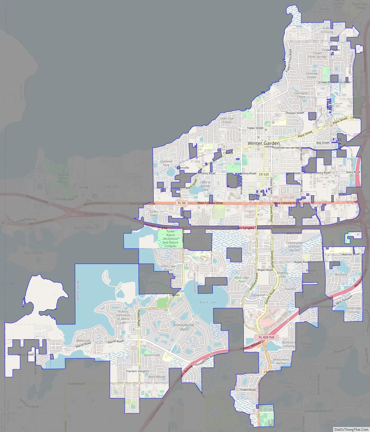
Winter Garden Road Map
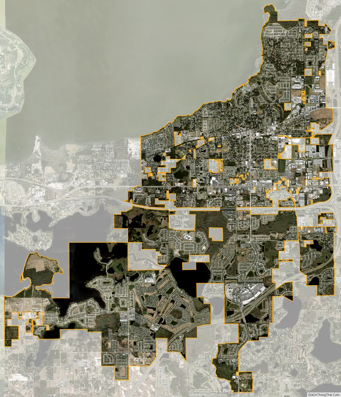
Winter Garden city Satellite Map
Geography
Winter Garden is located at 28°33′37″N 81°35′3″W / 28.56028°N 81.58417°W / 28.56028; -81.58417 (28.560328, –81.584069).
According to the United States Census Bureau, the city has a total area of 15.6 square miles (40.4 km), of which 15.4 square miles (39.9 km) is land and 0.19 square miles (0.5 km) (1.28%) is water.
Winter Garden is bordered on the south by the town of Windermere, on the east by the city of Ocoee, on the west by the town of Oakland and on the north by Lake Apopka.
Topography
The terrain is characterized by a gentle to moderately sloping topography. Winter Garden has the highest elevation spot in Orange County. The highest elevation is 222 feet (68 m) in NAVD 88 (North American Vertical Datum) located in the southwest corner of the city South near the county line with Lake County. The lowest elevation in the city is 64 feet (20 m) near Lake Apopka.
Climate
Winter Garden has a warm and humid subtropical climate, and there are two major seasons each year. One of those seasons is hot and rainy, lasting from May until October (roughly coinciding with the Atlantic hurricane season). The other is a cooler season (November through March) that brings more moderate temperatures and less frequent rainfall. The area’s warm and humid climate is caused primarily by its low elevation and its position relatively close to the Tropic of Cancer, and much of its weather is affected by the movement of the Gulf Stream.
See also
Map of Florida State and its subdivision:- Alachua
- Baker
- Bay
- Bradford
- Brevard
- Broward
- Calhoun
- Charlotte
- Citrus
- Clay
- Collier
- Columbia
- Desoto
- Dixie
- Duval
- Escambia
- Flagler
- Franklin
- Gadsden
- Gilchrist
- Glades
- Gulf
- Hamilton
- Hardee
- Hendry
- Hernando
- Highlands
- Hillsborough
- Holmes
- Indian River
- Jackson
- Jefferson
- Lafayette
- Lake
- Lee
- Leon
- Levy
- Liberty
- Madison
- Manatee
- Marion
- Martin
- Miami-Dade
- Monroe
- Nassau
- Okaloosa
- Okeechobee
- Orange
- Osceola
- Palm Beach
- Pasco
- Pinellas
- Polk
- Putnam
- Saint Johns
- Saint Lucie
- Santa Rosa
- Sarasota
- Seminole
- Sumter
- Suwannee
- Taylor
- Union
- Volusia
- Wakulla
- Walton
- Washington
- Alabama
- Alaska
- Arizona
- Arkansas
- California
- Colorado
- Connecticut
- Delaware
- District of Columbia
- Florida
- Georgia
- Hawaii
- Idaho
- Illinois
- Indiana
- Iowa
- Kansas
- Kentucky
- Louisiana
- Maine
- Maryland
- Massachusetts
- Michigan
- Minnesota
- Mississippi
- Missouri
- Montana
- Nebraska
- Nevada
- New Hampshire
- New Jersey
- New Mexico
- New York
- North Carolina
- North Dakota
- Ohio
- Oklahoma
- Oregon
- Pennsylvania
- Rhode Island
- South Carolina
- South Dakota
- Tennessee
- Texas
- Utah
- Vermont
- Virginia
- Washington
- West Virginia
- Wisconsin
- Wyoming