Zephyrhills is a city in Pasco County, Florida, United States. The population was counted at 17,194 in the 2020 census. The city is the headquarters of the Zephyrhills bottled water company. The current mayor is Melonie Monson.
| Name: | Zephyrhills city |
|---|---|
| LSAD Code: | 25 |
| LSAD Description: | city (suffix) |
| State: | Florida |
| County: | Pasco County |
| Elevation: | 95 ft (29 m) |
| Total Area: | 9.61 sq mi (24.88 km²) |
| Land Area: | 9.55 sq mi (24.74 km²) |
| Water Area: | 0.05 sq mi (0.14 km²) |
| Total Population: | 17,194 |
| Population Density: | 1,799.85/sq mi (694.91/km²) |
| ZIP code: | 33539–33544 33599 (original code) |
| Area code: | 813 |
| FIPS code: | 1279225 |
| GNISfeature ID: | 0293620 |
| Website: | www.ci.zephyrhills.fl.us |
Online Interactive Map
Click on ![]() to view map in "full screen" mode.
to view map in "full screen" mode.
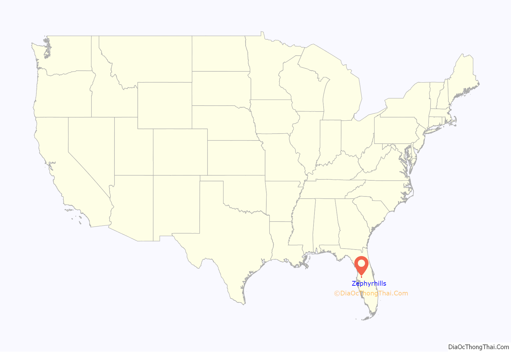
Zephyrhills location map. Where is Zephyrhills city?
History
Zephyrhills began as the town of Abbott on April 18, 1888, and consisted of 280.74 acres. A voting district was established in 1893 followed by a post office in 1896. In 1909, Captain Howard B. Jeffries, a Civil War Union veteran from Pennsylvania, purchased 35,000 acres and created the Zephyrhills Colony Company with a plan to create a community for Civil War veterans. In 1910 the town voted to change its name to Zephyrhills; it was incorporated in 1914.
In 1941, one resident reported that Zephyrhills had a sundown town policy forbidding African Americans from living within the city limits.
The city created a historic district in 1999; in 2001 the Zephyrhills Historic District was nominated for and listed on the National Register of Historic Places. A Founders Day celebration is held annually in March.
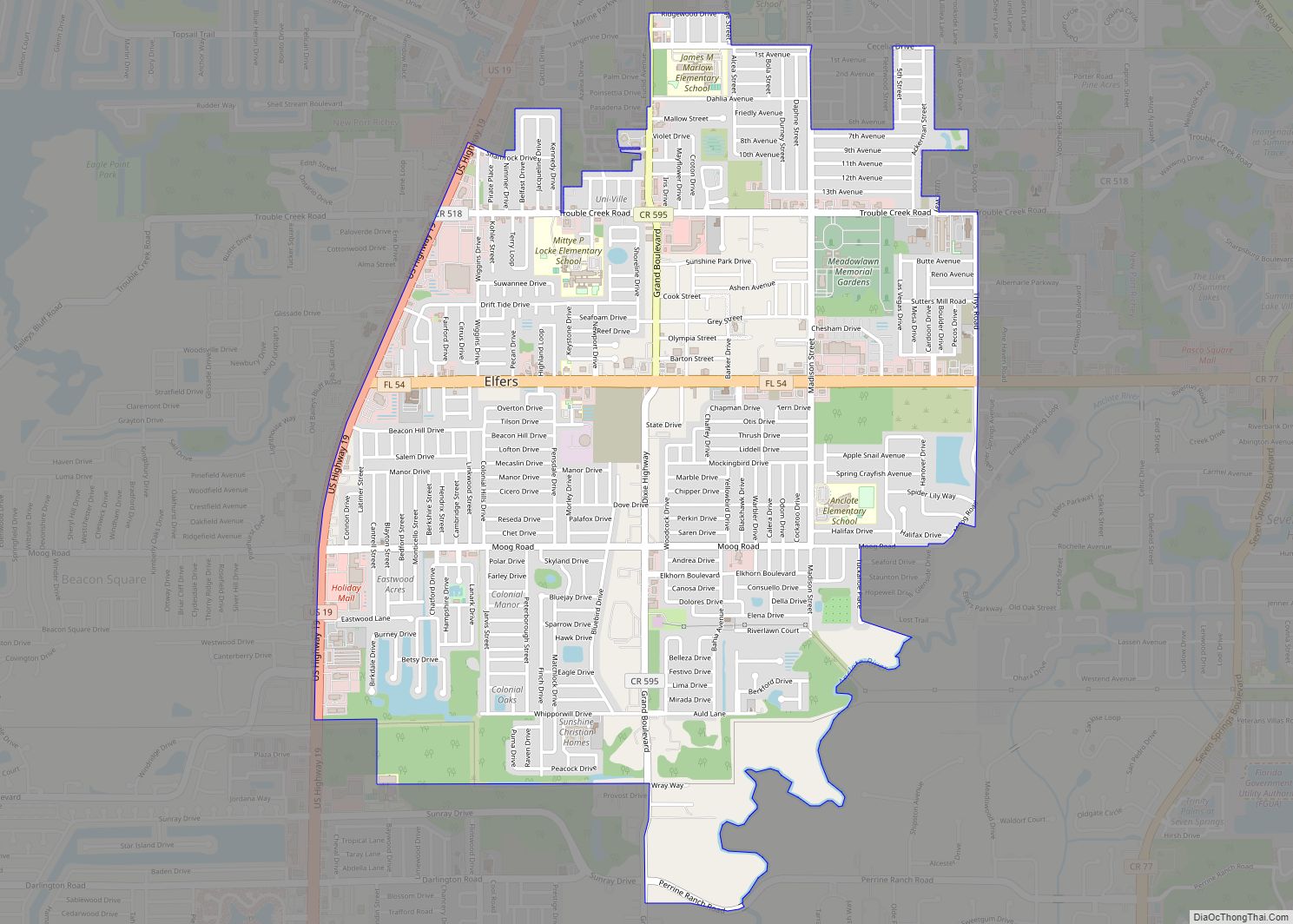
Zephyrhills Road Map
Zephyrhills city Satellite Map
Geography
Zephyrhills is known for its rolling topography, hence the name.
Climate
The climate in this area is characterized by hot, humid summers and warm, generally dry winters. According to the Köppen Climate Classification system, Zephyrhills has a humid subtropical climate, abbreviated “Cfa” on climate maps.
See also
Map of Florida State and its subdivision:- Alachua
- Baker
- Bay
- Bradford
- Brevard
- Broward
- Calhoun
- Charlotte
- Citrus
- Clay
- Collier
- Columbia
- Desoto
- Dixie
- Duval
- Escambia
- Flagler
- Franklin
- Gadsden
- Gilchrist
- Glades
- Gulf
- Hamilton
- Hardee
- Hendry
- Hernando
- Highlands
- Hillsborough
- Holmes
- Indian River
- Jackson
- Jefferson
- Lafayette
- Lake
- Lee
- Leon
- Levy
- Liberty
- Madison
- Manatee
- Marion
- Martin
- Miami-Dade
- Monroe
- Nassau
- Okaloosa
- Okeechobee
- Orange
- Osceola
- Palm Beach
- Pasco
- Pinellas
- Polk
- Putnam
- Saint Johns
- Saint Lucie
- Santa Rosa
- Sarasota
- Seminole
- Sumter
- Suwannee
- Taylor
- Union
- Volusia
- Wakulla
- Walton
- Washington
- Alabama
- Alaska
- Arizona
- Arkansas
- California
- Colorado
- Connecticut
- Delaware
- District of Columbia
- Florida
- Georgia
- Hawaii
- Idaho
- Illinois
- Indiana
- Iowa
- Kansas
- Kentucky
- Louisiana
- Maine
- Maryland
- Massachusetts
- Michigan
- Minnesota
- Mississippi
- Missouri
- Montana
- Nebraska
- Nevada
- New Hampshire
- New Jersey
- New Mexico
- New York
- North Carolina
- North Dakota
- Ohio
- Oklahoma
- Oregon
- Pennsylvania
- Rhode Island
- South Carolina
- South Dakota
- Tennessee
- Texas
- Utah
- Vermont
- Virginia
- Washington
- West Virginia
- Wisconsin
- Wyoming
