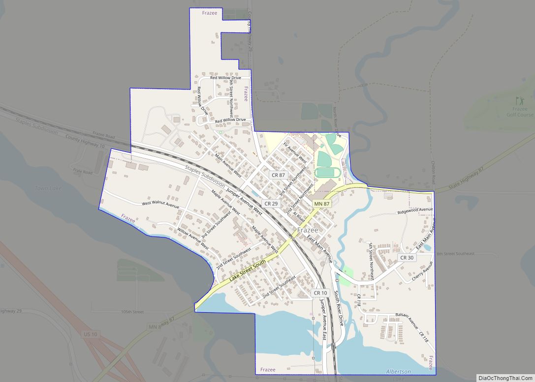
Frazee (/freɪˈziː/ fray-ZEE) is a city in Becker County, Minnesota, United States. It is the second-most-populous city in Becker County. The population was 1,335 at the 2020 census.
| Name: | Frazee city |
|---|---|
| LSAD Code: | 25 |
| LSAD Description: | city (suffix) |
| State: | Minnesota |
| County: | Becker County |
| Founded: | 1871 |
| Elevation: | 1,384 ft (422 m) |
| Total Area: | 1.11 sq mi (2.88 km²) |
| Land Area: | 1.07 sq mi (2.78 km²) |
| Water Area: | 0.04 sq mi (0.10 km²) |
| Total Population: | 1,335 |
| Population Density: | 1,245.34/sq mi (480.61/km²) |
| ZIP code: | 56544 |
| Area code: | 218 |
| FIPS code: | 2722472 |
| GNISfeature ID: | 0643899 |
| Website: | frazeecity.com |
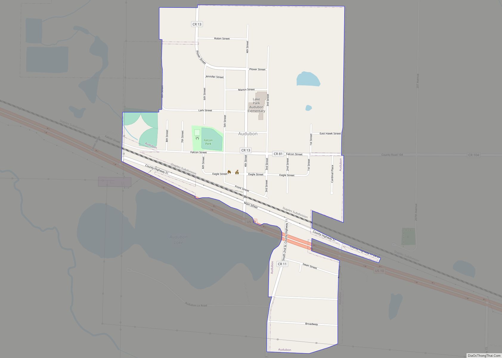
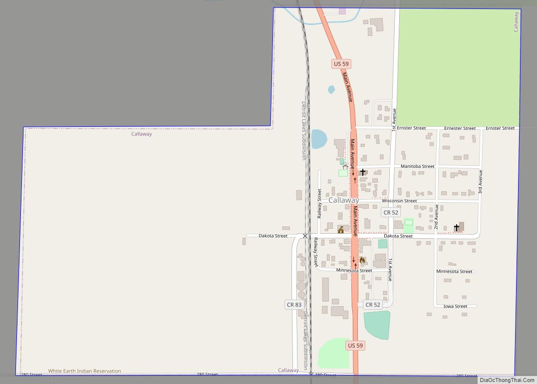
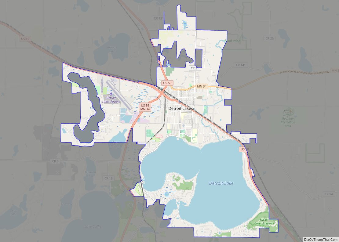
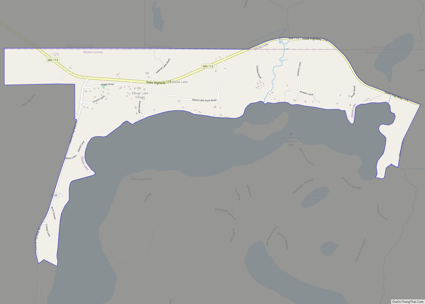
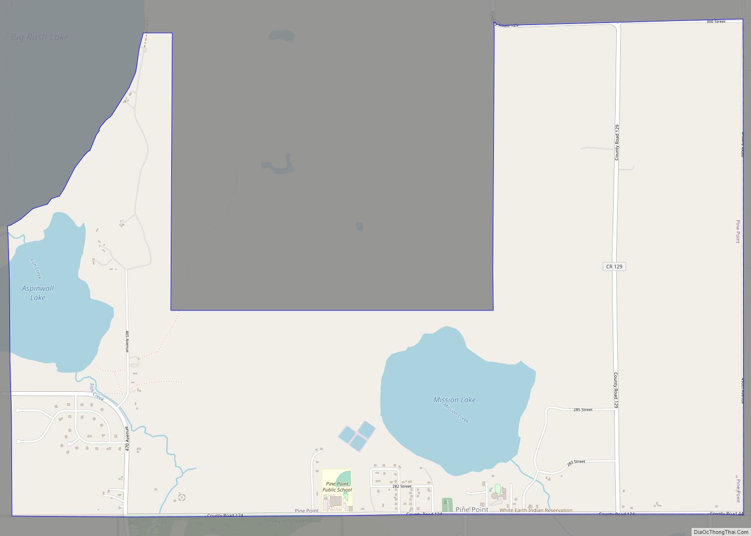
Online Interactive Map
Click on ![]() to view map in "full screen" mode.
to view map in "full screen" mode.
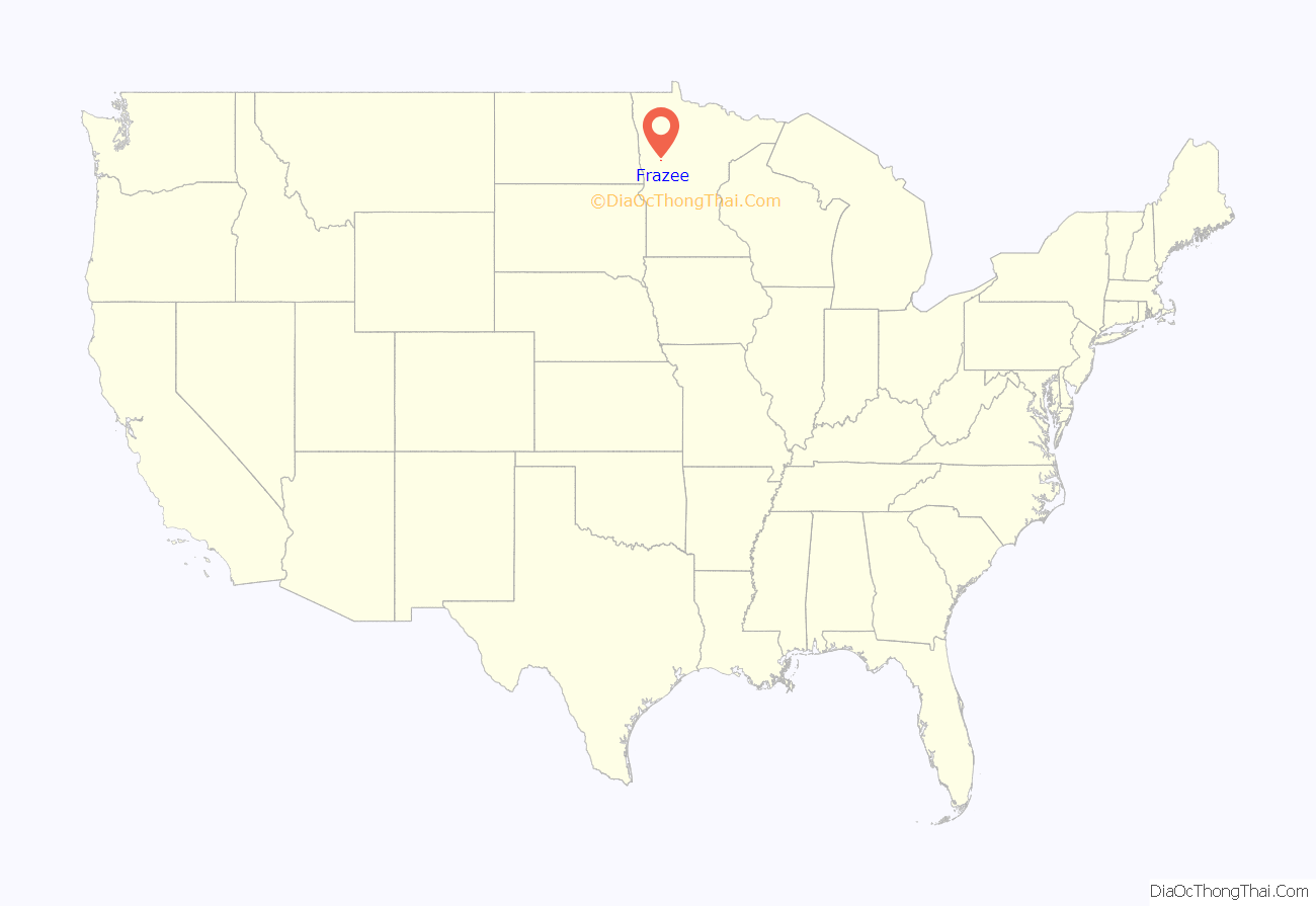
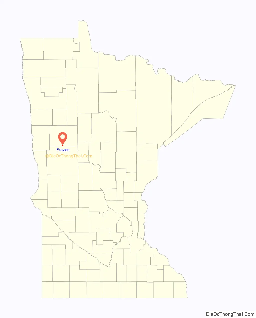
Frazee location map. Where is Frazee city?
History
The community was originally named Detroit and later Third Crossing before adopting its name of Frazee. With Becker County not formally organized until 1871, it was the earliest settlement in the area. The city was officially incorporated on January 6, 1891. It was named after R. L. Frazee, owner of a sawmill.
Frazee was the birthplace of Kieth Engen (1925-2004), a noted operatic bass who had a highly successful career in Germany.
Frazee Road Map
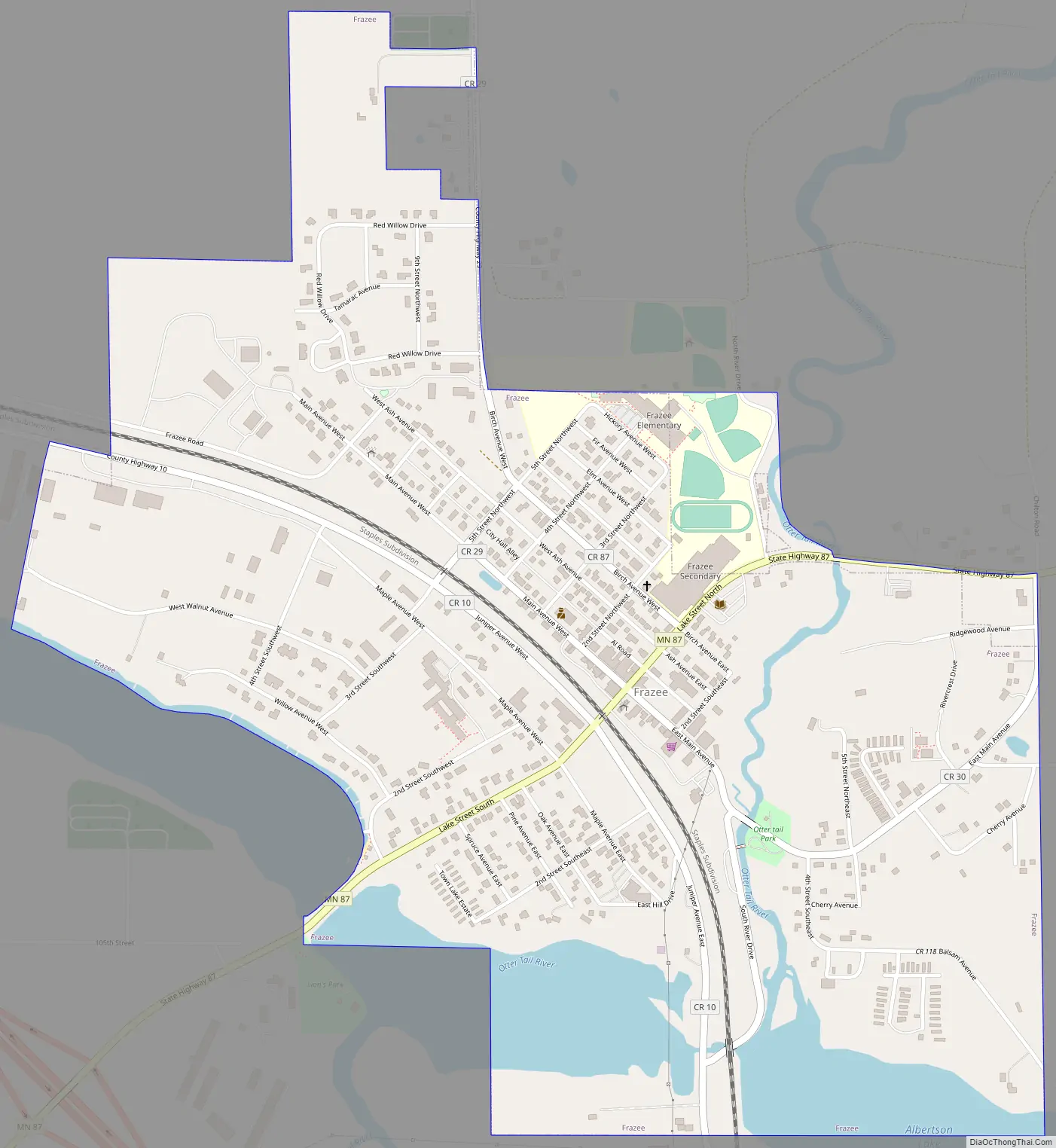
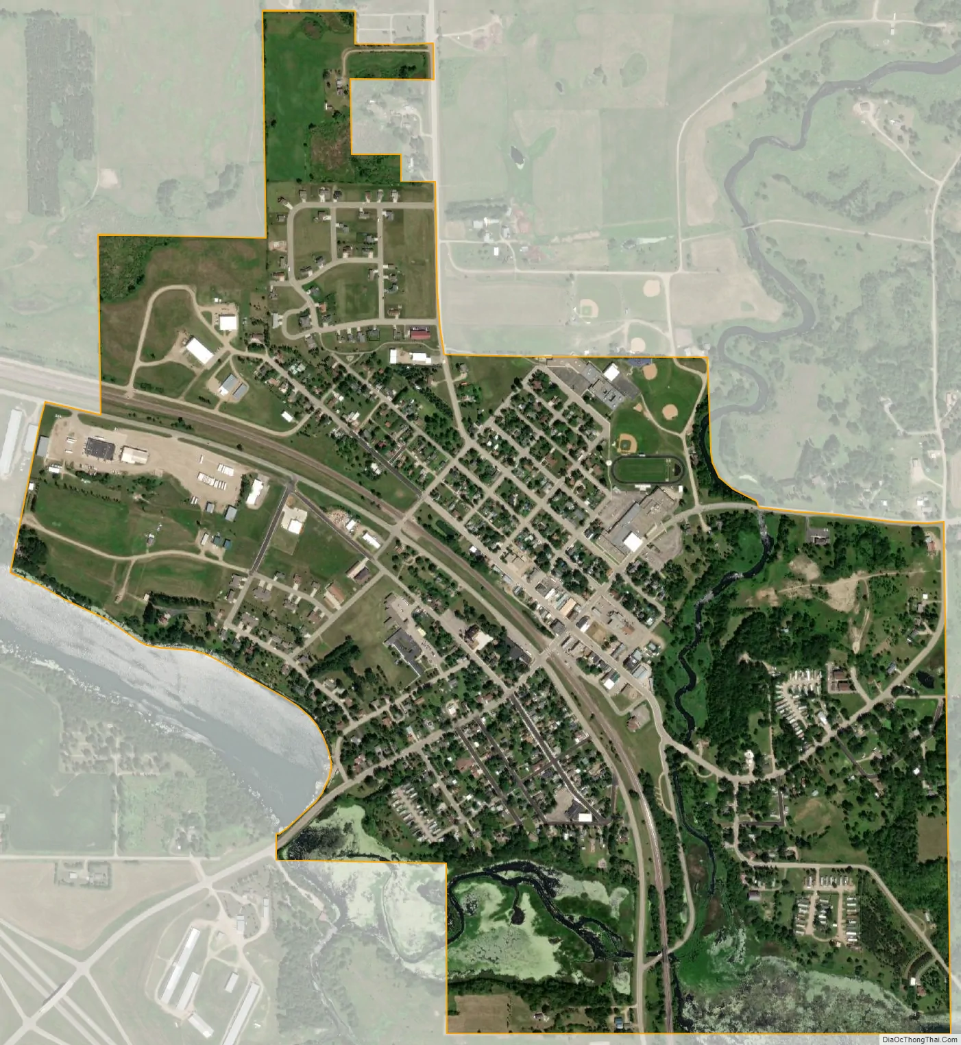
Frazee city Satellite Map
Geography
According to the United States Census Bureau, the city has a total area of 1.11 square miles (2.87 km), of which 1.06 square miles (2.75 km) is land and 0.05 square miles (0.13 km) is water.
See also
Map of Minnesota State and its subdivision:- Aitkin
- Anoka
- Becker
- Beltrami
- Benton
- Big Stone
- Blue Earth
- Brown
- Carlton
- Carver
- Cass
- Chippewa
- Chisago
- Clay
- Clearwater
- Cook
- Cottonwood
- Crow Wing
- Dakota
- Dodge
- Douglas
- Faribault
- Fillmore
- Freeborn
- Goodhue
- Grant
- Hennepin
- Houston
- Hubbard
- Isanti
- Itasca
- Jackson
- Kanabec
- Kandiyohi
- Kittson
- Koochiching
- Lac qui Parle
- Lake
- Lake of the Woods
- Lake Superior
- Le Sueur
- Lincoln
- Lyon
- Mahnomen
- Marshall
- Martin
- McLeod
- Meeker
- Mille Lacs
- Morrison
- Mower
- Murray
- Nicollet
- Nobles
- Norman
- Olmsted
- Otter Tail
- Pennington
- Pine
- Pipestone
- Polk
- Pope
- Ramsey
- Red Lake
- Redwood
- Renville
- Rice
- Rock
- Roseau
- Saint Louis
- Scott
- Sherburne
- Sibley
- Stearns
- Steele
- Stevens
- Swift
- Todd
- Traverse
- Wabasha
- Wadena
- Waseca
- Washington
- Watonwan
- Wilkin
- Winona
- Wright
- Yellow Medicine
- Alabama
- Alaska
- Arizona
- Arkansas
- California
- Colorado
- Connecticut
- Delaware
- District of Columbia
- Florida
- Georgia
- Hawaii
- Idaho
- Illinois
- Indiana
- Iowa
- Kansas
- Kentucky
- Louisiana
- Maine
- Maryland
- Massachusetts
- Michigan
- Minnesota
- Mississippi
- Missouri
- Montana
- Nebraska
- Nevada
- New Hampshire
- New Jersey
- New Mexico
- New York
- North Carolina
- North Dakota
- Ohio
- Oklahoma
- Oregon
- Pennsylvania
- Rhode Island
- South Carolina
- South Dakota
- Tennessee
- Texas
- Utah
- Vermont
- Virginia
- Washington
- West Virginia
- Wisconsin
- Wyoming