Rosemount is a city in Dakota County, Minnesota, United States, on the southern edge of the Twin Cities Metropolitan Area. The population was 25,650 at the 2020 census.
| Name: | Rosemount city |
|---|---|
| LSAD Code: | 25 |
| LSAD Description: | city (suffix) |
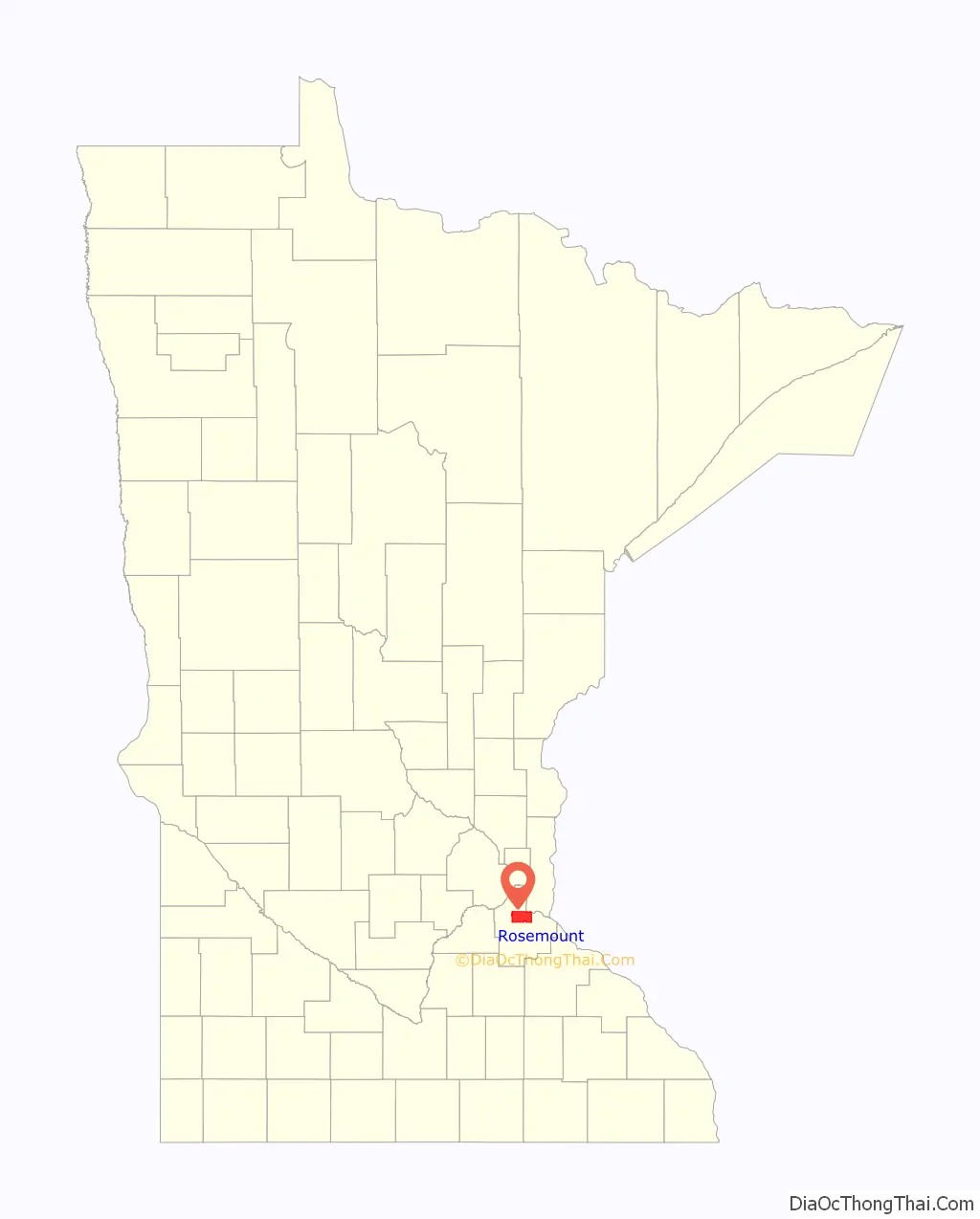
| State: | Minnesota |
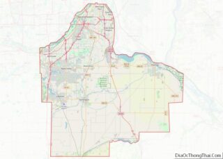
| County: | Dakota County |
| Elevation: | 965 ft (294 m) |
| Total Area: | 35.22 sq mi (91.23 km²) |
| Land Area: | 33.25 sq mi (86.13 km²) |
| Water Area: | 1.97 sq mi (5.10 km²) |
| Total Population: | 25,650 |
| Population Density: | 771.34/sq mi (297.82/km²) |
| ZIP code: | 55068 |
| Area code: | 651 |
| FIPS code: | 2755726 |
| GNISfeature ID: | 0650291 |
Online Interactive Map
Click on ![]() to view map in "full screen" mode.
to view map in "full screen" mode.
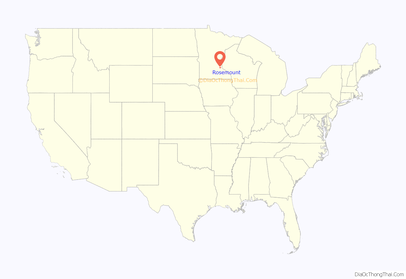
Rosemount location map. Where is Rosemount city?
History
Rosemount was established as a township in 1858 and incorporated as a city in 1972, encompassing the old village of Rosemount and Pine Bend. According to the city’s website, there was some debate over whether to name the township Saratoga or Rosemount, with the latter finally chosen to reflect the town’s Irish heritage and remain in keeping with the name given to the post office a few years earlier. In the 1940s it was home to a military gunpowder plant, Gopher Ordnance Works.
The community of Rich Valley was on today’s 140th street. It had a post office from 1858 to 1935, and a Chicago Great Western depot.
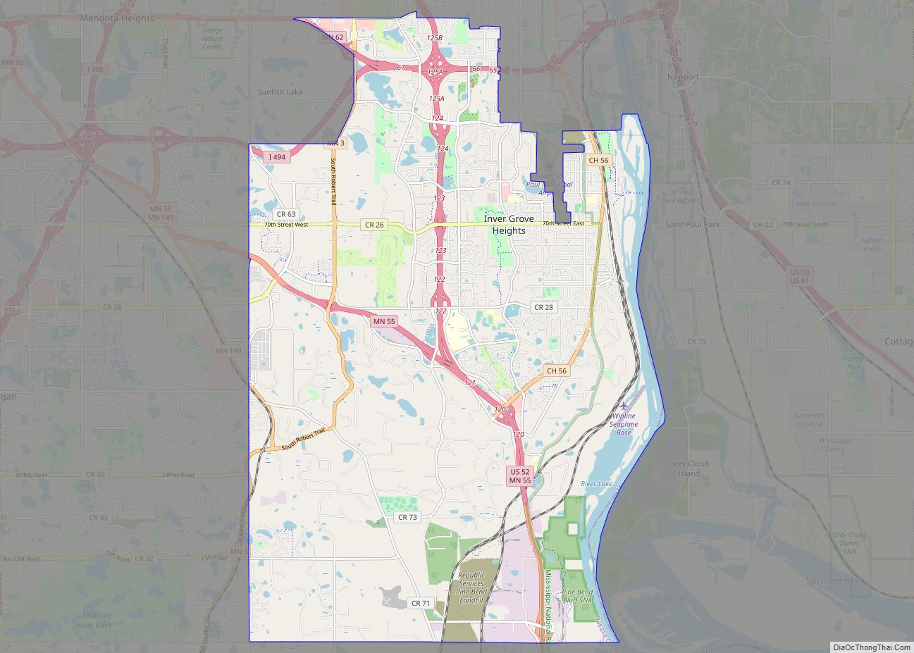
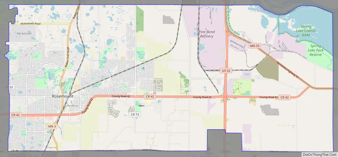
Rosemount Road Map
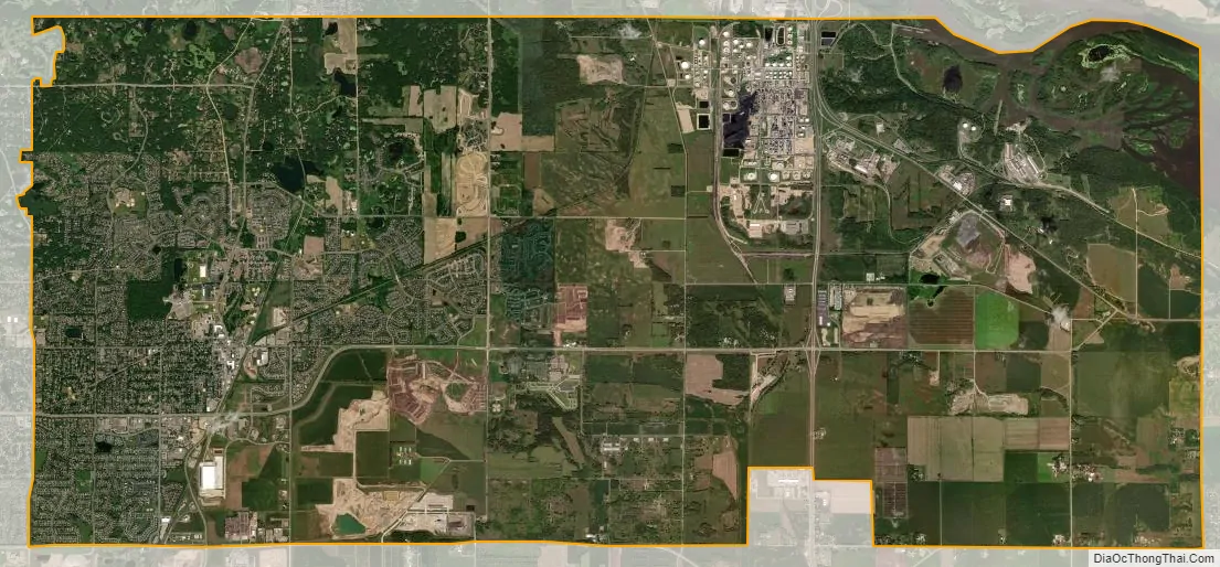
Rosemount city Satellite Map
Geography
According to the United States Census Bureau, the city has an area of 35.21 square miles (91.19 km), of which 33.22 square miles (86.04 km) is land and 1.99 square miles (5.15 km) is water.
U.S. Highway 52, Minnesota Highway 3, Minnesota Highway 55, and County Road 42 are four of the main routes in Rosemount.
See also
Map of Minnesota State and its subdivision:- Aitkin
- Anoka
- Becker
- Beltrami
- Benton
- Big Stone
- Blue Earth
- Brown
- Carlton
- Carver
- Cass
- Chippewa
- Chisago
- Clay
- Clearwater
- Cook
- Cottonwood
- Crow Wing
- Dakota
- Dodge
- Douglas
- Faribault
- Fillmore
- Freeborn
- Goodhue
- Grant
- Hennepin
- Houston
- Hubbard
- Isanti
- Itasca
- Jackson
- Kanabec
- Kandiyohi
- Kittson
- Koochiching
- Lac qui Parle
- Lake
- Lake of the Woods
- Lake Superior
- Le Sueur
- Lincoln
- Lyon
- Mahnomen
- Marshall
- Martin
- McLeod
- Meeker
- Mille Lacs
- Morrison
- Mower
- Murray
- Nicollet
- Nobles
- Norman
- Olmsted
- Otter Tail
- Pennington
- Pine
- Pipestone
- Polk
- Pope
- Ramsey
- Red Lake
- Redwood
- Renville
- Rice
- Rock
- Roseau
- Saint Louis
- Scott
- Sherburne
- Sibley
- Stearns
- Steele
- Stevens
- Swift
- Todd
- Traverse
- Wabasha
- Wadena
- Waseca
- Washington
- Watonwan
- Wilkin
- Winona
- Wright
- Yellow Medicine
- Alabama
- Alaska
- Arizona
- Arkansas
- California
- Colorado
- Connecticut
- Delaware
- District of Columbia
- Florida
- Georgia
- Hawaii
- Idaho
- Illinois
- Indiana
- Iowa
- Kansas
- Kentucky
- Louisiana
- Maine
- Maryland
- Massachusetts
- Michigan
- Minnesota
- Mississippi
- Missouri
- Montana
- Nebraska
- Nevada
- New Hampshire
- New Jersey
- New Mexico
- New York
- North Carolina
- North Dakota
- Ohio
- Oklahoma
- Oregon
- Pennsylvania
- Rhode Island
- South Carolina
- South Dakota
- Tennessee
- Texas
- Utah
- Vermont
- Virginia
- Washington
- West Virginia
- Wisconsin
- Wyoming