Simms is a census-designated place (CDP) in Cascade County, Montana, United States. The population was 354 at the 2010 census. It is part of the Great Falls, Montana Metropolitan Statistical Area.
| Name: | Simms CDP |
|---|---|
| LSAD Code: | 57 |
| LSAD Description: | CDP (suffix) |
| State: | Montana |
| County: | Cascade County |
| Elevation: | 3,570 ft (1,088 m) |
| Total Area: | 7.62 sq mi (19.73 km²) |
| Land Area: | 7.61 sq mi (19.71 km²) |
| Water Area: | 0.01 sq mi (0.02 km²) |
| Total Population: | 361 |
| Population Density: | 47.43/sq mi (18.31/km²) |
| ZIP code: | 59477 |
| Area code: | 406 |
| FIPS code: | 3068575 |
| GNISfeature ID: | 0776566 |
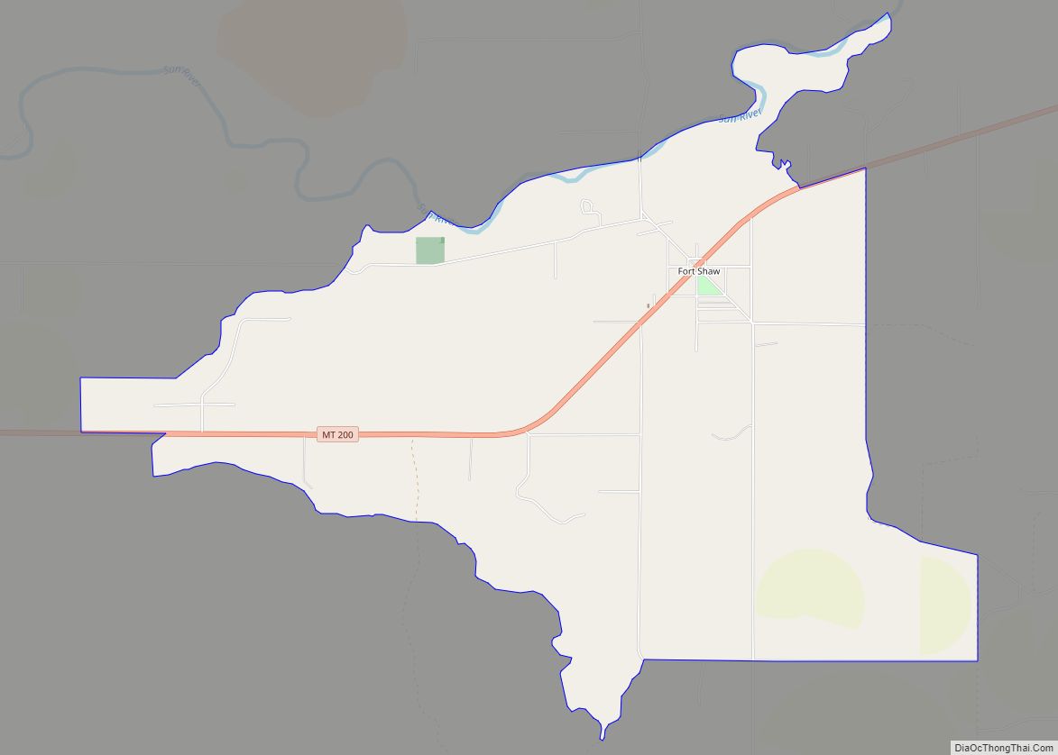
Online Interactive Map
Click on ![]() to view map in "full screen" mode.
to view map in "full screen" mode.
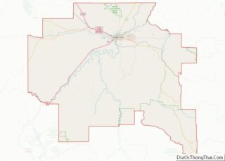
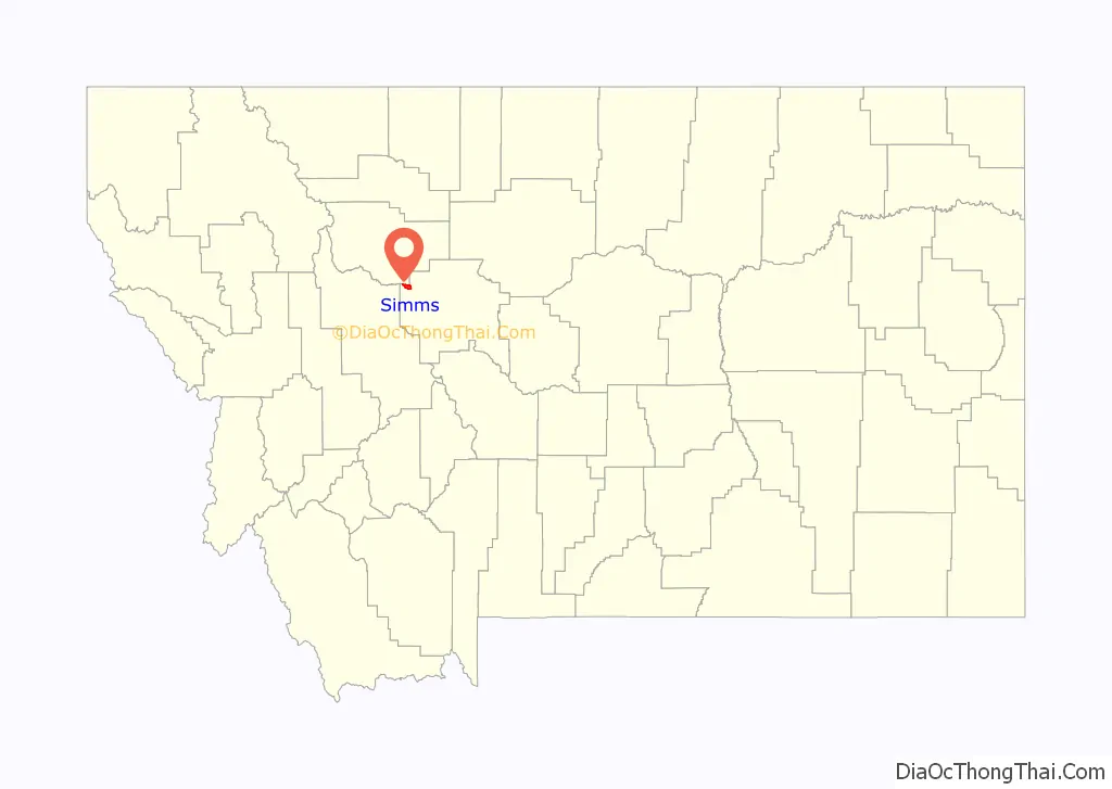
Simms location map. Where is Simms CDP?

History
The town of Simms, surrounded by buttes and benches, was built on a low spot in the Sun River valley. This made a perfect place to build an irrigation system. In 1902 President Theodore Roosevelt signed the Reclamation Act, and in 1906 the Sun River Irrigation Project was begun. The townsite of Simms consists of 160 acres (0.65 km). The town was named after Simms Creek, which flows into the Sun River, approximately 1-mile (1.6 km) west of the town. The creek was named after a pair of brothers who were woodcutters along the Sun River in earlier days. After the irrigation project was started, Simms became a grain and hay growing area. Simms is an unincorporated municipality of Cascade County.
Simms Road Map
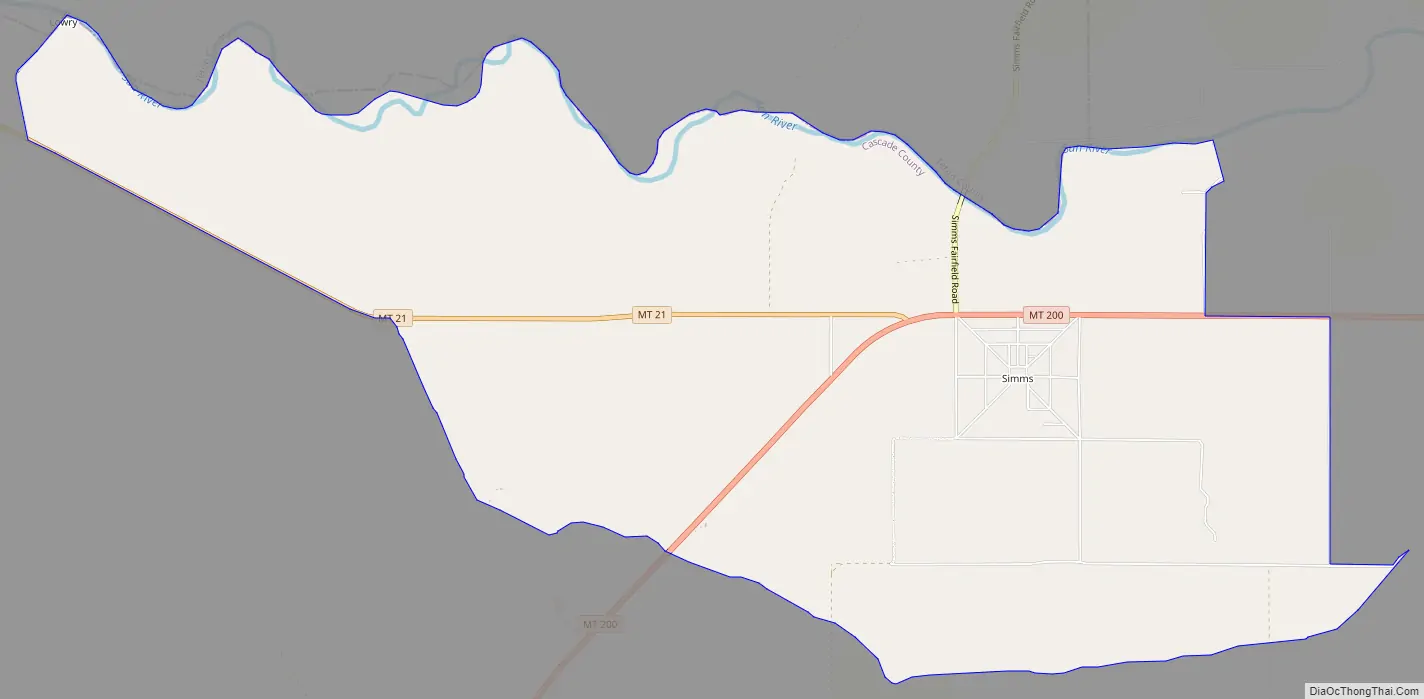
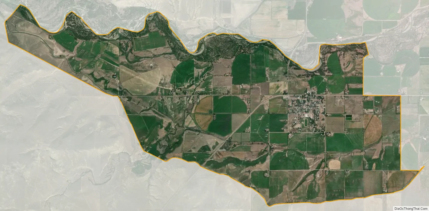
Simms city Satellite Map
Geography
Simms is located at 47°29′24″N 111°55′56″W / 47.49000°N 111.93222°W / 47.49000; -111.93222 (47.489984, -111.932102), in the Sun River valley, 30 miles (48 km) west of Great Falls, 35 miles (56 km) south of Choteau, 24 miles (39 km) north of Cascade and 21 miles (34 km) east of Augusta.
According to the United States Census Bureau, the CDP has a total area of 7.7 square miles (20 km), of which 0.13% is water.
Climate
According to the Köppen Climate Classification system, Simms has a semi-arid climate, abbreviated “BSk” on climate maps.
See also
Map of Montana State and its subdivision:- Beaverhead
- Big Horn
- Blaine
- Broadwater
- Carbon
- Carter
- Cascade
- Chouteau
- Custer
- Daniels
- Dawson
- Deer Lodge
- Fallon
- Fergus
- Flathead
- Gallatin
- Garfield
- Glacier
- Golden Valley
- Granite
- Hill
- Jefferson
- Judith Basin
- Lake
- Lewis and Clark
- Liberty
- Lincoln
- Madison
- McCone
- Meagher
- Mineral
- Missoula
- Musselshell
- Park
- Petroleum
- Phillips
- Pondera
- Powder River
- Powell
- Prairie
- Ravalli
- Richland
- Roosevelt
- Rosebud
- Sanders
- Sheridan
- Silver Bow
- Stillwater
- Sweet Grass
- Teton
- Toole
- Treasure
- Valley
- Wheatland
- Wibaux
- Yellowstone
- Alabama
- Alaska
- Arizona
- Arkansas
- California
- Colorado
- Connecticut
- Delaware
- District of Columbia
- Florida
- Georgia
- Hawaii
- Idaho
- Illinois
- Indiana
- Iowa
- Kansas
- Kentucky
- Louisiana
- Maine
- Maryland
- Massachusetts
- Michigan
- Minnesota
- Mississippi
- Missouri
- Montana
- Nebraska
- Nevada
- New Hampshire
- New Jersey
- New Mexico
- New York
- North Carolina
- North Dakota
- Ohio
- Oklahoma
- Oregon
- Pennsylvania
- Rhode Island
- South Carolina
- South Dakota
- Tennessee
- Texas
- Utah
- Vermont
- Virginia
- Washington
- West Virginia
- Wisconsin
- Wyoming