Big Sky is an unincorporated census-designated place (CDP) in Gallatin and Madison counties in southwestern Montana, United States. As of the 2010 census it had a population of 2,308. It is 45 miles (72 km) southwest of Bozeman. This unincorporated community straddles both counties, is not considered a town, and does not have a town government. The primary industry of the area is tourism.
| Name: | Big Sky CDP |
|---|---|
| LSAD Code: | 57 |
| LSAD Description: | CDP (suffix) |
| State: | Montana |
| County: | Gallatin County, Madison County |
| Elevation: | 7,218 ft (2,200 m) |
| Total Area: | 120.24 sq mi (311.43 km²) |
| Land Area: | 120.00 sq mi (310.81 km²) |
| Water Area: | 0.24 sq mi (0.61 km²) |
| Total Population: | 3,591 |
| Population Density: | 29.92/sq mi (11.55/km²) |
| ZIP code: | 59716 |
| Area code: | 406 |
| FIPS code: | 3006325 |
| GNISfeature ID: | 1853174 |
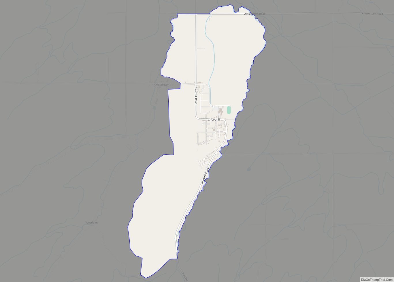
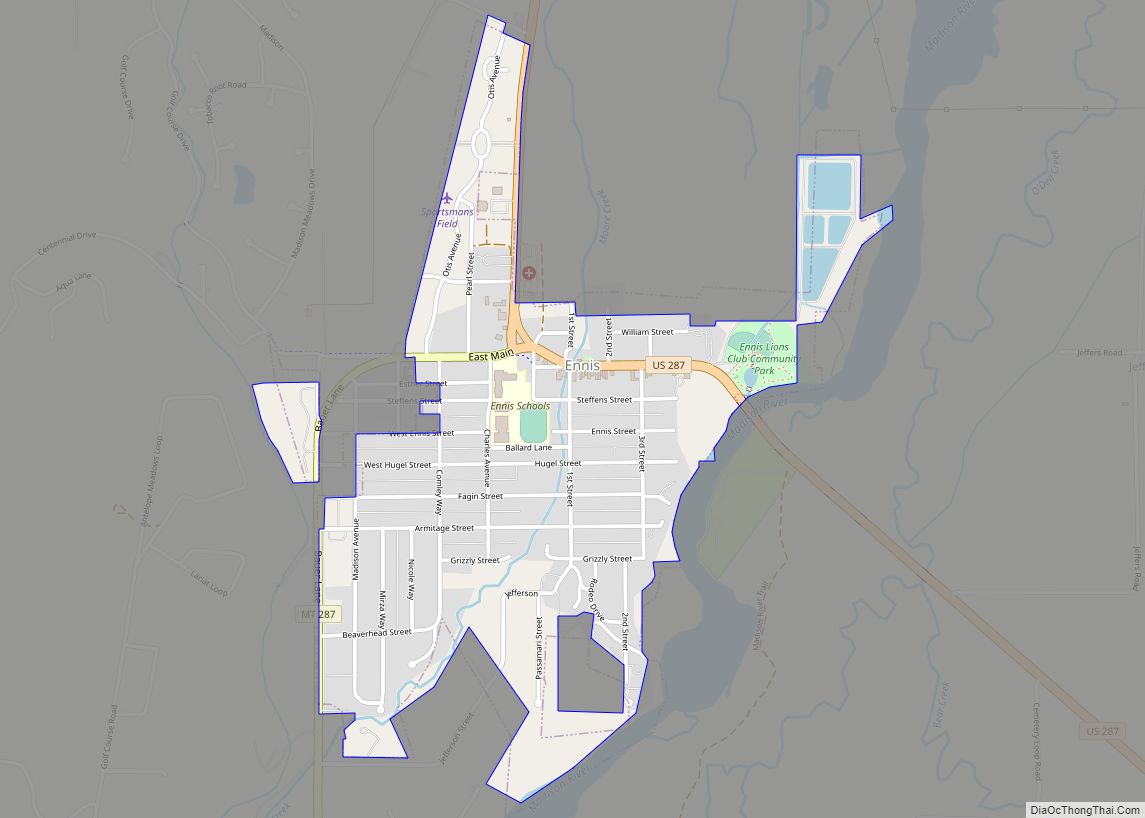
Online Interactive Map
Click on ![]() to view map in "full screen" mode.
to view map in "full screen" mode.
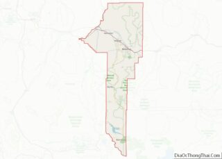
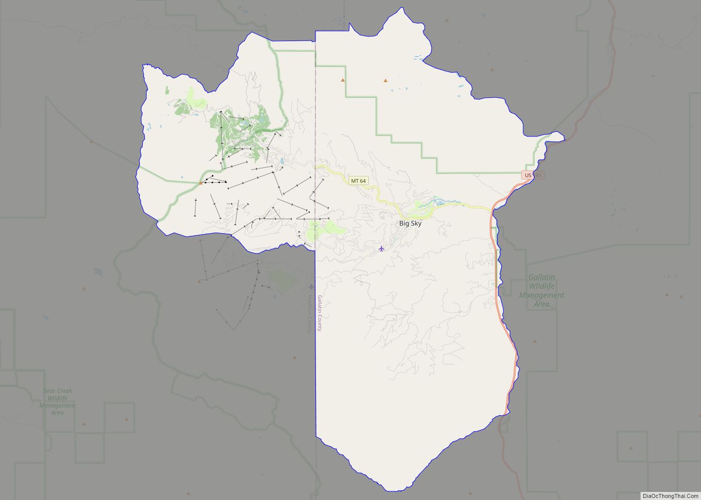
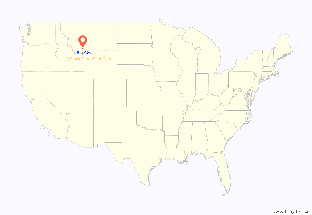
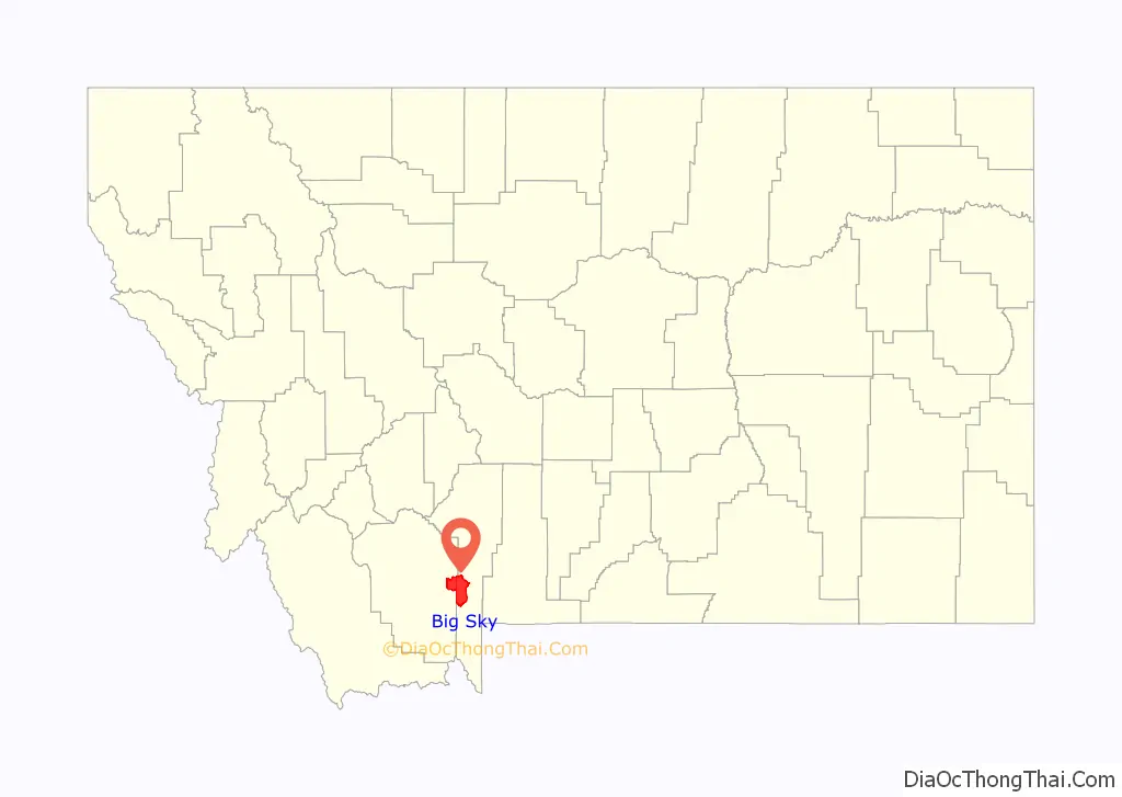
Big Sky location map. Where is Big Sky CDP?
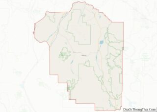
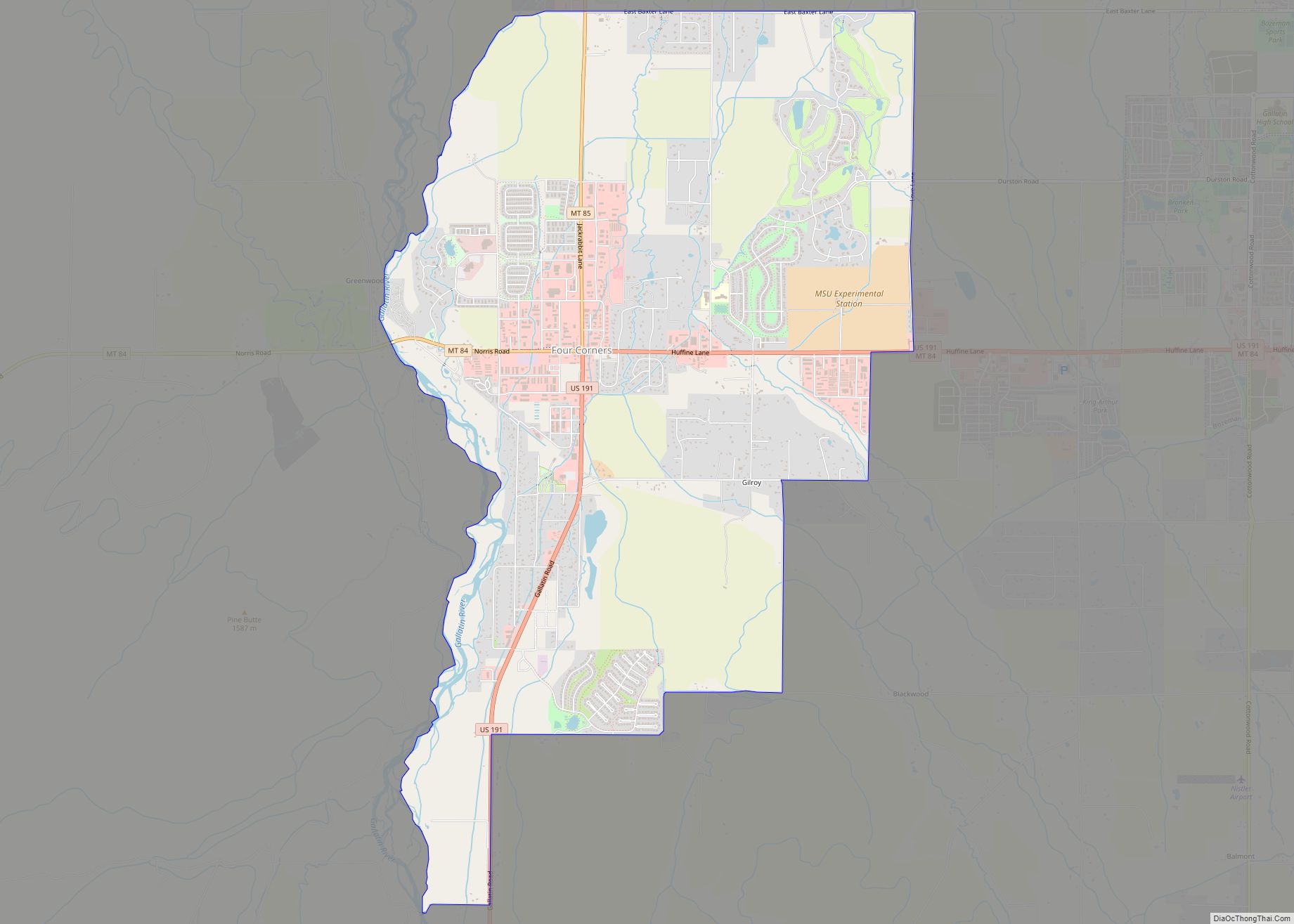
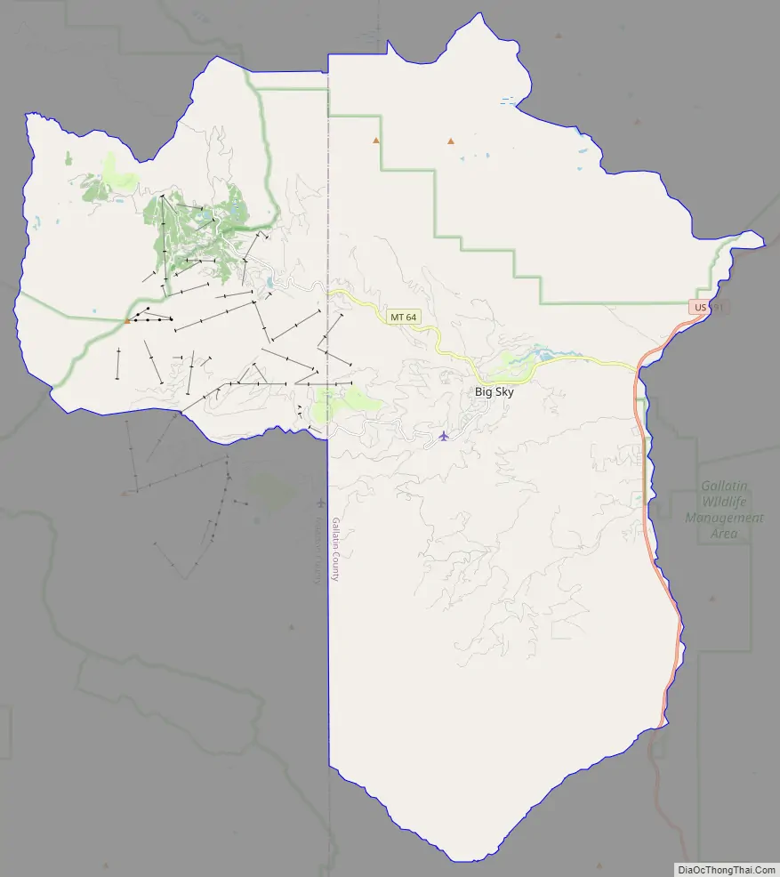
Big Sky Road Map
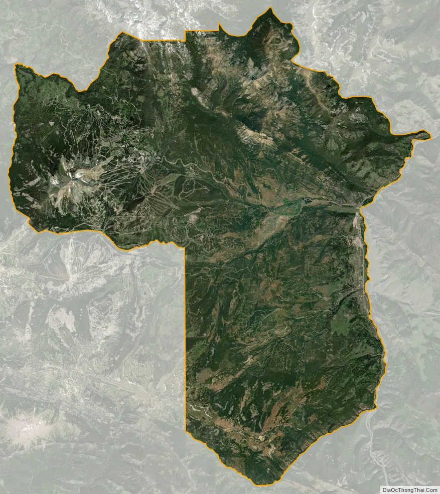
Big Sky city Satellite Map
Geography
Big Sky is located at 45°16′12″N 111°17′59″W / 45.269940°N 111.299725°W / 45.269940; -111.299725 (45.269940, -111.299725), approximately midway between West Yellowstone and Bozeman on U.S. Highway 191 and 15 miles (24 km) from the northwestern border of Yellowstone National Park.
The “Meadow” area of Big Sky lies in an alpine valley formed during the Cretaceous period. Initially called the “Gallatin Canyon Basin”, the Meadow is braided with small rivers that channel mountain snow run-off. Fishing is permitted on all of these Gallatin feeders. Two ponds are found on the Middle Fork of the Gallatin River that bisects the Meadow, and fishing there is permitted for those 16 and younger. Since 1993, an innovative sewer system has protected the water in the area from sewage discharge. Several agencies, such as the Gallatin River Task Force, monitor the health of the rivers.
The community had two large ski resorts that are sited in the “Mountain” area: Big Sky Resort and Moonlight Basin. In October 2013, these resorts merged: both are now managed by Big Sky Resort, and both are alpine ski and golf resorts. The combined terrain of the two resorts allows them to market themselves as the “Biggest Skiing in America”, with over 5,800 acres of terrain. The Spanish Peaks Mountain Club is an exclusive ski and golf resort that has three chairlifts and 13 ski runs connecting it to Big Sky Resort at the base of Big Sky’s Southern Comfort lift. Spanish Peaks is also now owned by Big Sky Resort, in collaboration with the Yellowstone Club. Another resort, Lone Mountain Ranch, is a Nordic ski and summer resort that professionally grooms over 75 kilometers of cross-country ski trails. Yellowstone Club, a private resort, is located to the south and adjacent to Big Sky Resort.
The “Canyon” area of Big Sky lies in the Gallatin Canyon, along the Gallatin River, a favorite for white water rafters and kayakers. The Gallatin River, named after Albert Gallatin who was the Secretary of the Treasury during the Lewis and Clark Expedition, is a Blue Ribbon trout stream that attracts fly-fishers from around the world. Several dude ranches (320 Guest Ranch, Elkhorn Ranch, Cinnamon Lodge and 9 Quarter Circle) operate in the Gallatin Canyon.
According to the United States Census Bureau, the CDP has a total area of 120.2 square miles (311.4 km), of which 120.0 square miles (310.8 km) is land and 0.2 square miles (0.6 km), or 0.18%, is water. Most of the CDP drains to the east into the Gallatin River, while the westernmost portions drain west via Cedar Creek and Jack Creek to the Madison River. The Gallatin and the Madison both drain north to the Missouri River.
Climate
This climatic region is typified by large seasonal temperature differences, with warm to hot summers and cold (sometimes severely cold) winters. According to the Köppen Climate Classification system, Big Sky has a borderline humid continental (Dfb) / alpine subarctic climate (Dfc). for most of the area, but the lower elevations may be closer to a dry continental climate.
See also
Map of Montana State and its subdivision:- Beaverhead
- Big Horn
- Blaine
- Broadwater
- Carbon
- Carter
- Cascade
- Chouteau
- Custer
- Daniels
- Dawson
- Deer Lodge
- Fallon
- Fergus
- Flathead
- Gallatin
- Garfield
- Glacier
- Golden Valley
- Granite
- Hill
- Jefferson
- Judith Basin
- Lake
- Lewis and Clark
- Liberty
- Lincoln
- Madison
- McCone
- Meagher
- Mineral
- Missoula
- Musselshell
- Park
- Petroleum
- Phillips
- Pondera
- Powder River
- Powell
- Prairie
- Ravalli
- Richland
- Roosevelt
- Rosebud
- Sanders
- Sheridan
- Silver Bow
- Stillwater
- Sweet Grass
- Teton
- Toole
- Treasure
- Valley
- Wheatland
- Wibaux
- Yellowstone
- Alabama
- Alaska
- Arizona
- Arkansas
- California
- Colorado
- Connecticut
- Delaware
- District of Columbia
- Florida
- Georgia
- Hawaii
- Idaho
- Illinois
- Indiana
- Iowa
- Kansas
- Kentucky
- Louisiana
- Maine
- Maryland
- Massachusetts
- Michigan
- Minnesota
- Mississippi
- Missouri
- Montana
- Nebraska
- Nevada
- New Hampshire
- New Jersey
- New Mexico
- New York
- North Carolina
- North Dakota
- Ohio
- Oklahoma
- Oregon
- Pennsylvania
- Rhode Island
- South Carolina
- South Dakota
- Tennessee
- Texas
- Utah
- Vermont
- Virginia
- Washington
- West Virginia
- Wisconsin
- Wyoming