Corvallis (Salish: cƛ̓mƛ̓mqéy) is a census-designated place (CDP) in Ravalli County, Montana, United States. The population was 1,125 at the 2020 census.
| Name: | Corvallis CDP |
|---|---|
| LSAD Code: | 57 |
| LSAD Description: | CDP (suffix) |
| State: | Montana |
| County: | Ravalli County |
| Elevation: | 3,481 ft (1,061 m) |
| Total Area: | 0.58 sq mi (1.50 km²) |
| Land Area: | 0.58 sq mi (1.49 km²) |
| Water Area: | 0.00 sq mi (0.00 km²) |
| Total Population: | 1,125 |
| Population Density: | 1,949.74/sq mi (753.28/km²) |
| ZIP code: | 59828 |
| Area code: | 406 |
| FIPS code: | 3017725 |
| GNISfeature ID: | 0781704 |
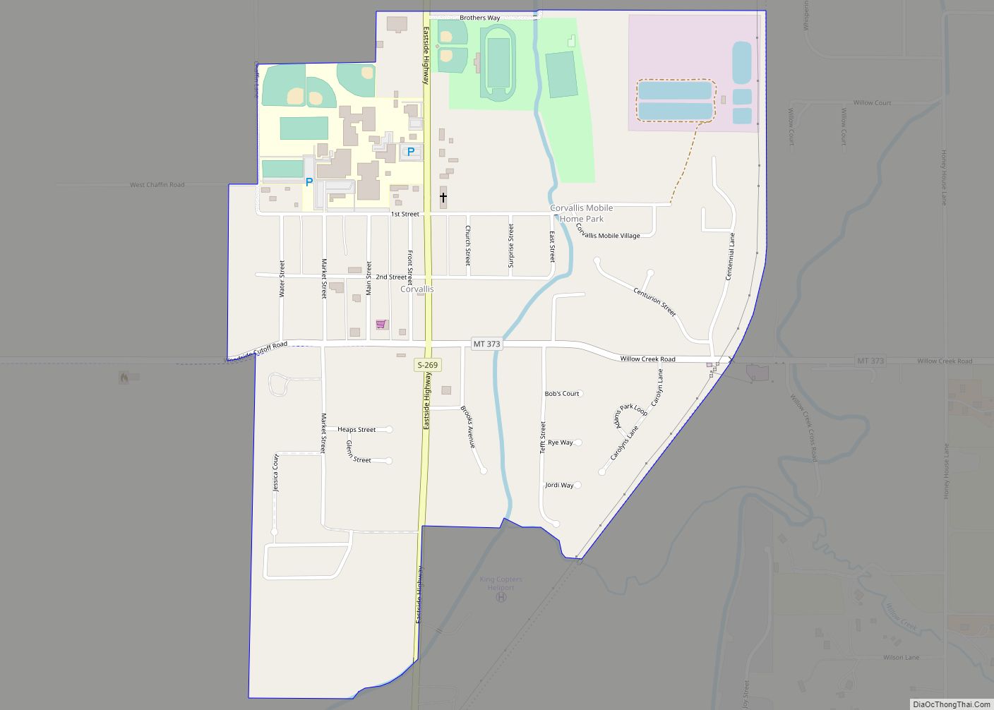
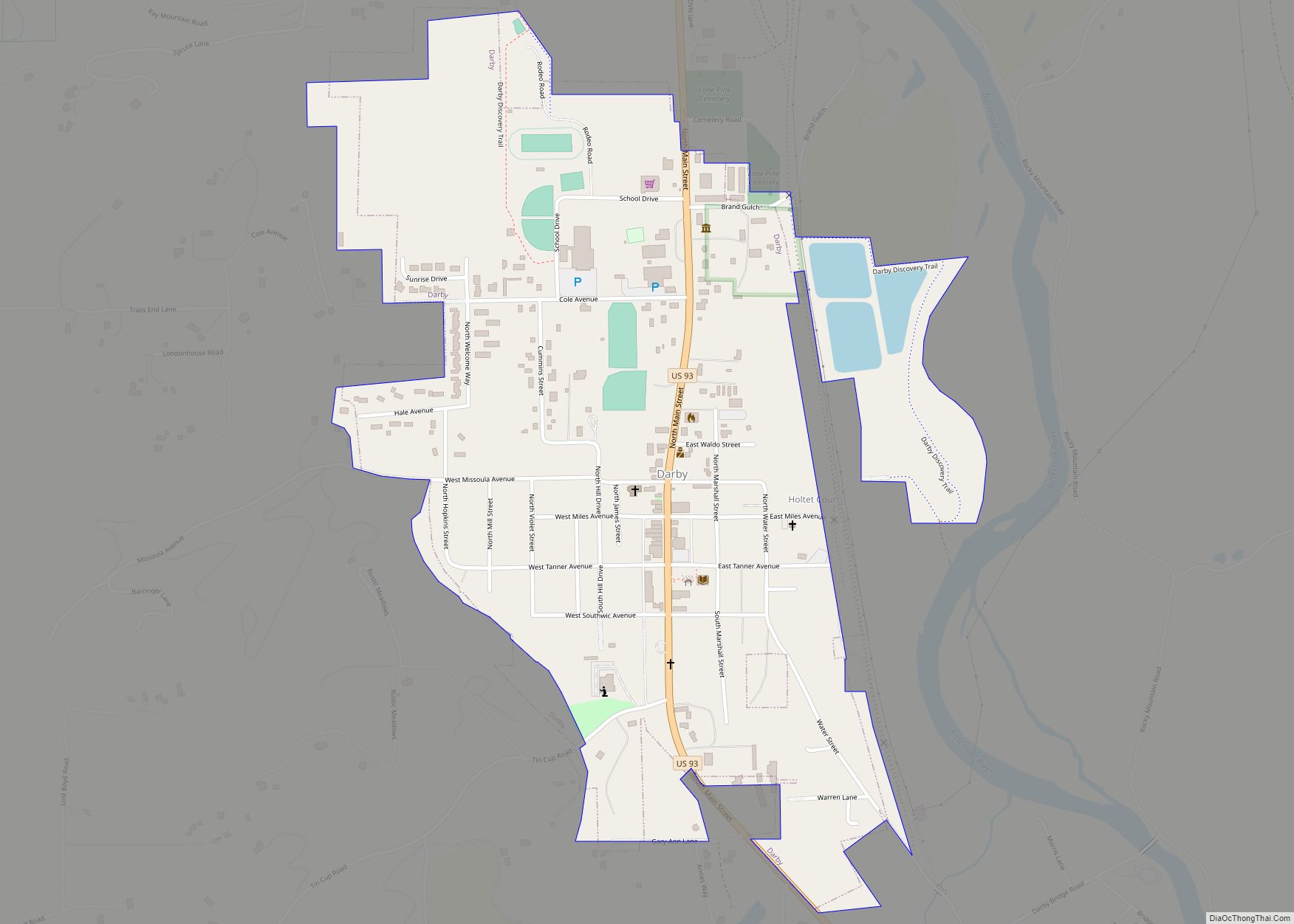
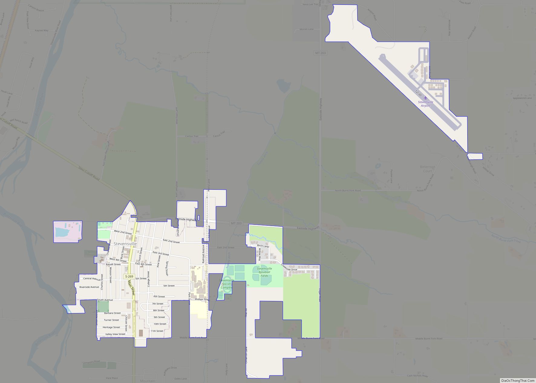
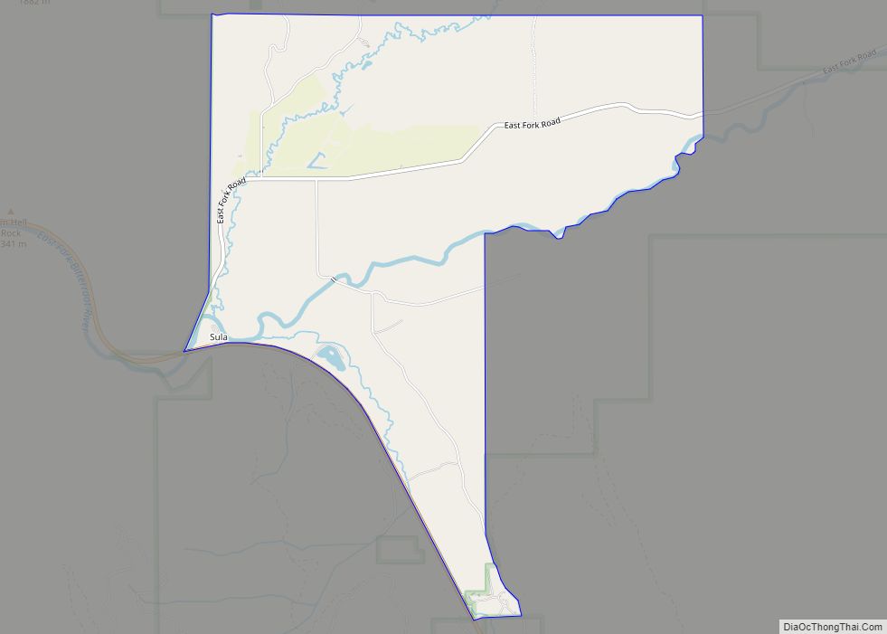
Online Interactive Map
Click on ![]() to view map in "full screen" mode.
to view map in "full screen" mode.
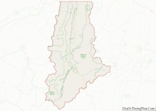
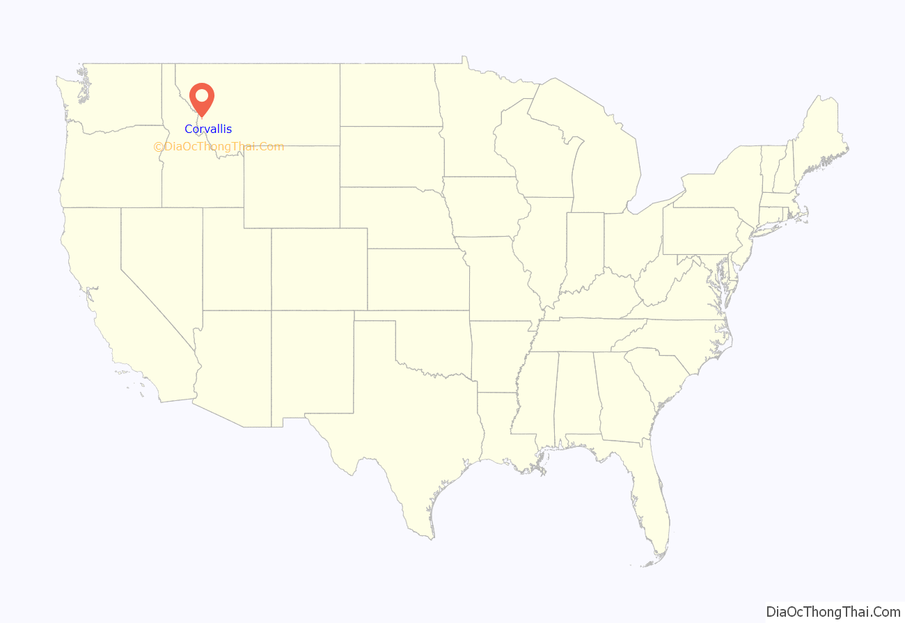
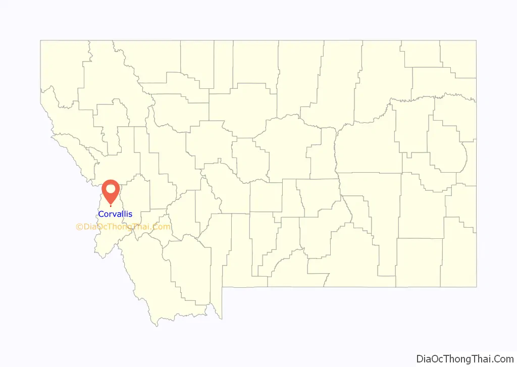
Corvallis location map. Where is Corvallis CDP?
History
Corvallis, Montana was named by settlers who hailed from Corvallis, Oregon. It was platted in 1879.
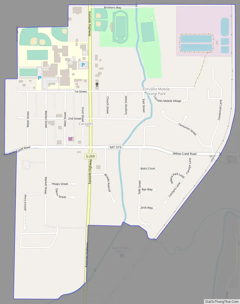
Corvallis Road Map
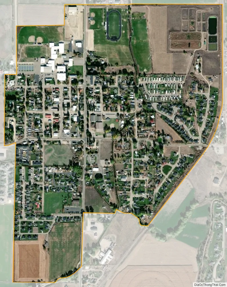
Corvallis city Satellite Map
Geography
Corvallis is located at 46°18′54″N 114°06′53″W / 46.315010°N 114.114630°W / 46.315010; -114.114630 (46.315010, -114.114630).
According to the United States Census Bureau, the CDP has a total area of 0.58 square miles (1.5 km), all land.
Climate
This climatic region is typified by large seasonal temperature differences, with warm to hot (and often humid) summers and cold (sometimes severely cold) winters. According to the Köppen Climate Classification system, Corvallis has a humid continental climate, abbreviated “Dfb” on climate maps.
See also
Map of Montana State and its subdivision:- Beaverhead
- Big Horn
- Blaine
- Broadwater
- Carbon
- Carter
- Cascade
- Chouteau
- Custer
- Daniels
- Dawson
- Deer Lodge
- Fallon
- Fergus
- Flathead
- Gallatin
- Garfield
- Glacier
- Golden Valley
- Granite
- Hill
- Jefferson
- Judith Basin
- Lake
- Lewis and Clark
- Liberty
- Lincoln
- Madison
- McCone
- Meagher
- Mineral
- Missoula
- Musselshell
- Park
- Petroleum
- Phillips
- Pondera
- Powder River
- Powell
- Prairie
- Ravalli
- Richland
- Roosevelt
- Rosebud
- Sanders
- Sheridan
- Silver Bow
- Stillwater
- Sweet Grass
- Teton
- Toole
- Treasure
- Valley
- Wheatland
- Wibaux
- Yellowstone
- Alabama
- Alaska
- Arizona
- Arkansas
- California
- Colorado
- Connecticut
- Delaware
- District of Columbia
- Florida
- Georgia
- Hawaii
- Idaho
- Illinois
- Indiana
- Iowa
- Kansas
- Kentucky
- Louisiana
- Maine
- Maryland
- Massachusetts
- Michigan
- Minnesota
- Mississippi
- Missouri
- Montana
- Nebraska
- Nevada
- New Hampshire
- New Jersey
- New Mexico
- New York
- North Carolina
- North Dakota
- Ohio
- Oklahoma
- Oregon
- Pennsylvania
- Rhode Island
- South Carolina
- South Dakota
- Tennessee
- Texas
- Utah
- Vermont
- Virginia
- Washington
- West Virginia
- Wisconsin
- Wyoming