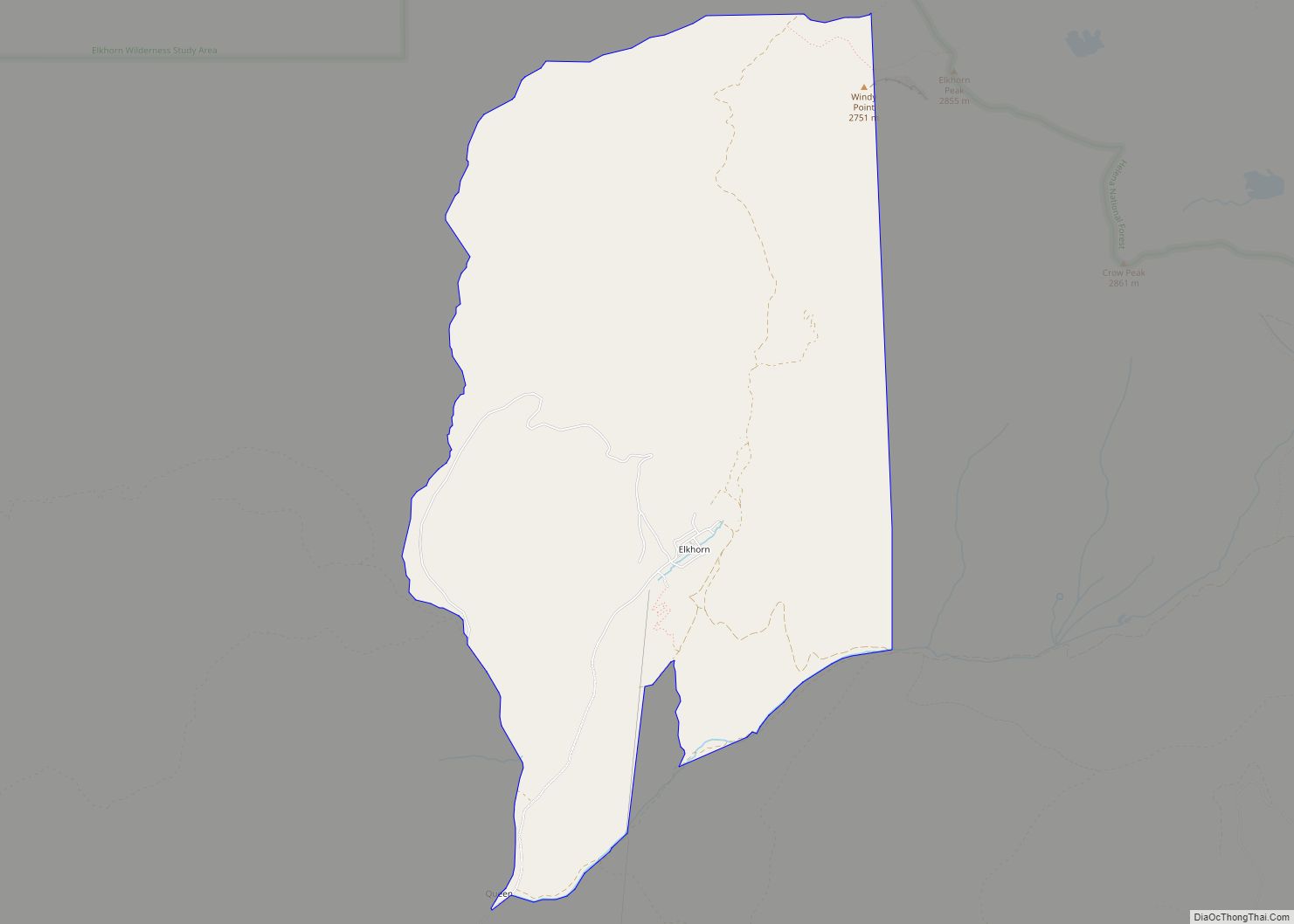
Elkhorn is a census-designated place (CDP) in Jefferson County, Montana, United States, in the Elkhorn Mountains of the southwestern part of the state. As of the 2010 census it had a population of 10. The community is considered a ghost town, and two of its buildings are preserved as Elkhorn State Park.
| Name: | Elkhorn CDP |
|---|---|
| LSAD Code: | 57 |
| LSAD Description: | CDP (suffix) |
| State: | Montana |
| County: | Jefferson County |
| Elevation: | 6,444 ft (1,964 m) |
| Total Area: | 6.74 sq mi (17.46 km²) |
| Land Area: | 6.74 sq mi (17.46 km²) |
| Water Area: | 0.00 sq mi (0.00 km²) |
| Total Population: | 12 |
| Population Density: | 1.78/sq mi (0.69/km²) |
| Area code: | 406 |
| FIPS code: | 3023865 |
| GNISfeature ID: | 0783128 |
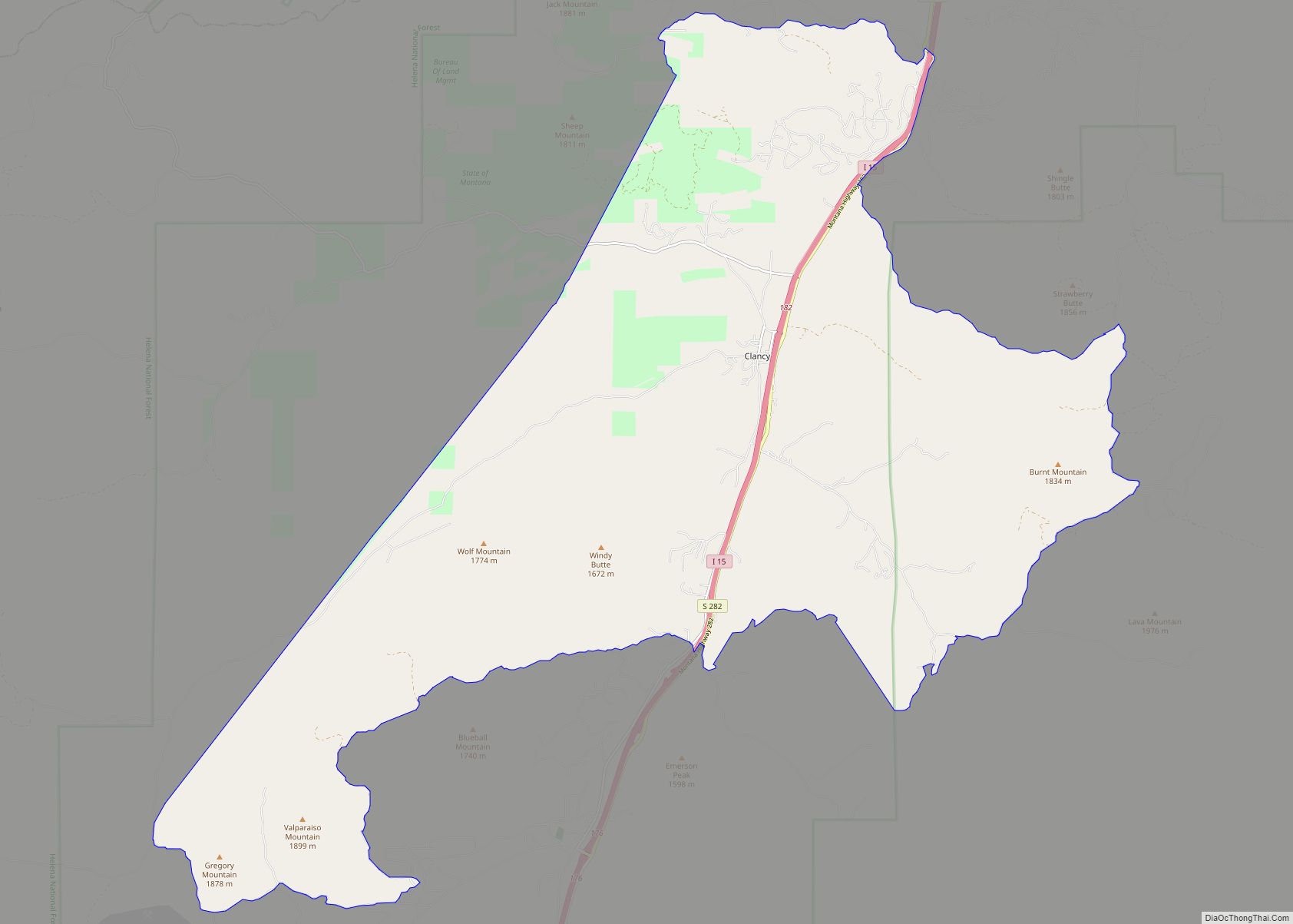
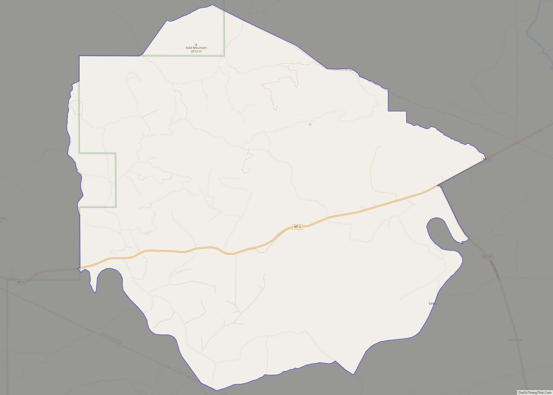
Online Interactive Map
Click on ![]() to view map in "full screen" mode.
to view map in "full screen" mode.
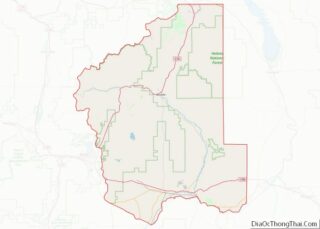
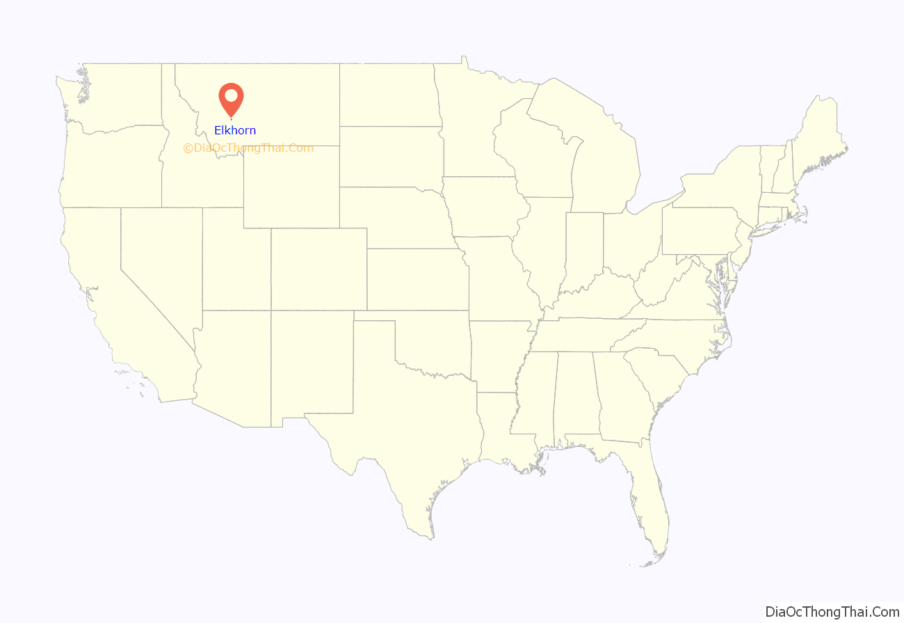
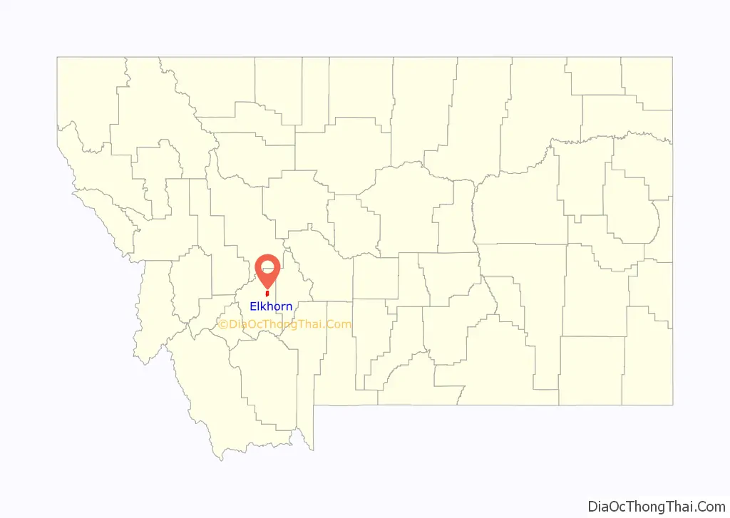
Elkhorn location map. Where is Elkhorn CDP?
History
Lodes of silver, described by geologists as supergene enrichments, were initially discovered in the Elkhorn Mountains by Peter Wys, a Swiss immigrant. Six years later, Anton Holter, a pioneer capitalist from Helena, began developing the mine. Over $14 million in silver was carried from the mine. In 1890, the Sherman Silver Purchase Act passed, creating a high demand for Elkhorn’s silver.
During this peak period, Elkhorn had 2,500 inhabitants, a school, a hotel, a church, stores, saloons, and brothels. Unlike most mining towns, Elkhorn was populated mostly by families of married European immigrants. In 1893, the Fraternity Hall was constructed for social gatherings, and still remains as one of the most well-preserved buildings in modern Elkhorn.
In the years following, the silver boom and Elkhorn’s prosperity began to lessen as the desire for silver decreased. A diphtheria epidemic struck Elkhorn in the winter of 1888–1889, resulting in many deaths, particularly of children. Soon after, railroad service to Elkhorn was halted and only a fraction of the original inhabitants remained.
The state of Montana designated Fraternity Hall and Gillian Hall as Elkhorn State Park in 1980.
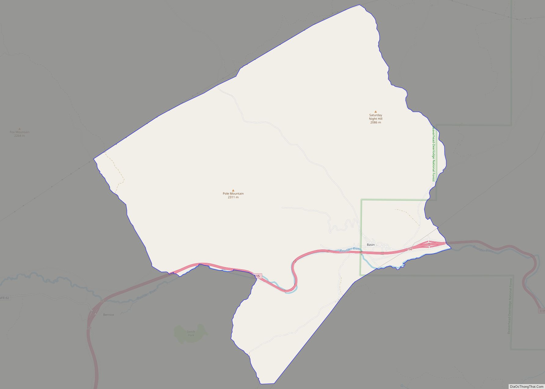
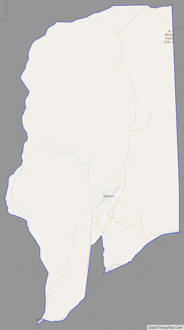
Elkhorn Road Map
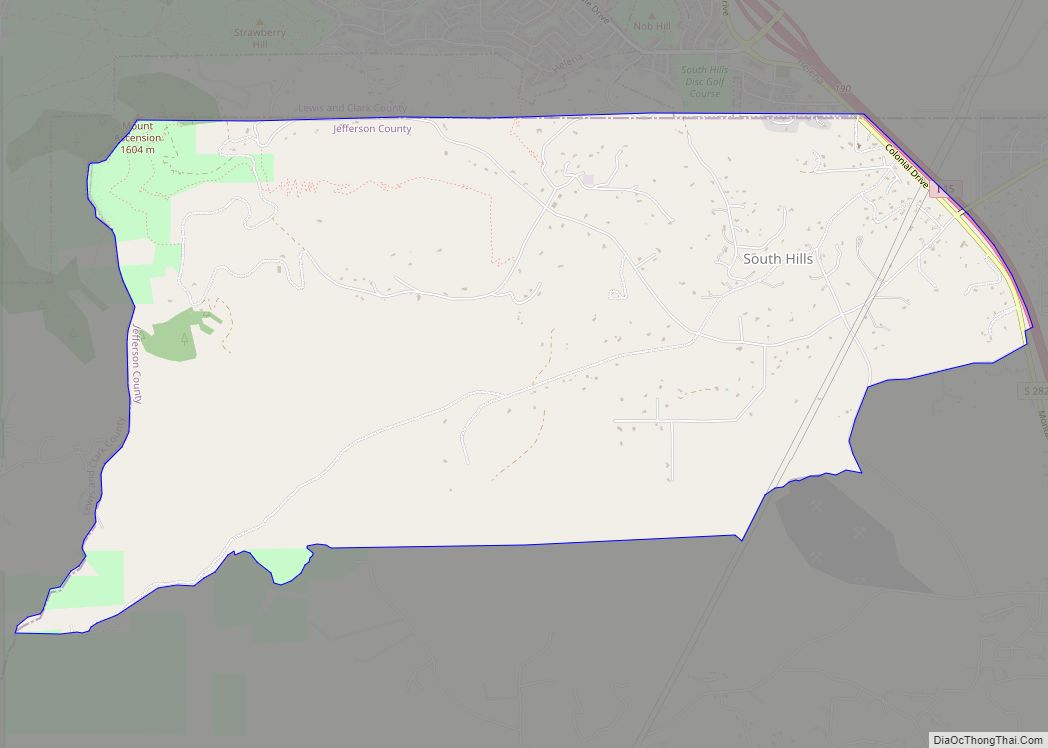
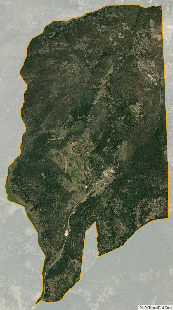
Elkhorn city Satellite Map
Geography
Elkhorn is in eastern Jefferson County on the south side of the Elkhorn Mountains, in the valley of Elkhorn Creek. It can only be reached through its neighboring town, Boulder, by taking the I-15 exit for Boulder, continuing 7 miles (11 km) southeast on Montana Highway 69, then 11 miles (18 km) north on graveled county roads.
According to the U.S. Census Bureau, the Elkhorn CDP has an area of 6.8 square miles (17.5 km), all land.
See also
Map of Montana State and its subdivision:- Beaverhead
- Big Horn
- Blaine
- Broadwater
- Carbon
- Carter
- Cascade
- Chouteau
- Custer
- Daniels
- Dawson
- Deer Lodge
- Fallon
- Fergus
- Flathead
- Gallatin
- Garfield
- Glacier
- Golden Valley
- Granite
- Hill
- Jefferson
- Judith Basin
- Lake
- Lewis and Clark
- Liberty
- Lincoln
- Madison
- McCone
- Meagher
- Mineral
- Missoula
- Musselshell
- Park
- Petroleum
- Phillips
- Pondera
- Powder River
- Powell
- Prairie
- Ravalli
- Richland
- Roosevelt
- Rosebud
- Sanders
- Sheridan
- Silver Bow
- Stillwater
- Sweet Grass
- Teton
- Toole
- Treasure
- Valley
- Wheatland
- Wibaux
- Yellowstone
- Alabama
- Alaska
- Arizona
- Arkansas
- California
- Colorado
- Connecticut
- Delaware
- District of Columbia
- Florida
- Georgia
- Hawaii
- Idaho
- Illinois
- Indiana
- Iowa
- Kansas
- Kentucky
- Louisiana
- Maine
- Maryland
- Massachusetts
- Michigan
- Minnesota
- Mississippi
- Missouri
- Montana
- Nebraska
- Nevada
- New Hampshire
- New Jersey
- New Mexico
- New York
- North Carolina
- North Dakota
- Ohio
- Oklahoma
- Oregon
- Pennsylvania
- Rhode Island
- South Carolina
- South Dakota
- Tennessee
- Texas
- Utah
- Vermont
- Virginia
- Washington
- West Virginia
- Wisconsin
- Wyoming