Montana City is an unincorporated community and census-designated place (CDP) in Jefferson County, Montana, United States. The population was 2,715 at the 2010 census, up from 2,094 in 2000. It is part of the Helena Micropolitan Statistical Area.
| Name: | Montana City CDP |
|---|---|
| LSAD Code: | 57 |
| LSAD Description: | CDP (suffix) |
| State: | Montana |
| County: | Jefferson County |
| Elevation: | 4,049 ft (1,234 m) |
| Total Area: | 34.12 sq mi (88.37 km²) |
| Land Area: | 34.10 sq mi (88.31 km²) |
| Water Area: | 0.02 sq mi (0.06 km²) |
| Total Population: | 2,918 |
| Population Density: | 85.58/sq mi (33.04/km²) |
| ZIP code: | 59634 |
| Area code: | 406 |
| FIPS code: | 3051175 |
| GNISfeature ID: | 0787566 |
Online Interactive Map
Click on ![]() to view map in "full screen" mode.
to view map in "full screen" mode.
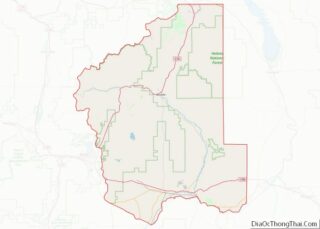
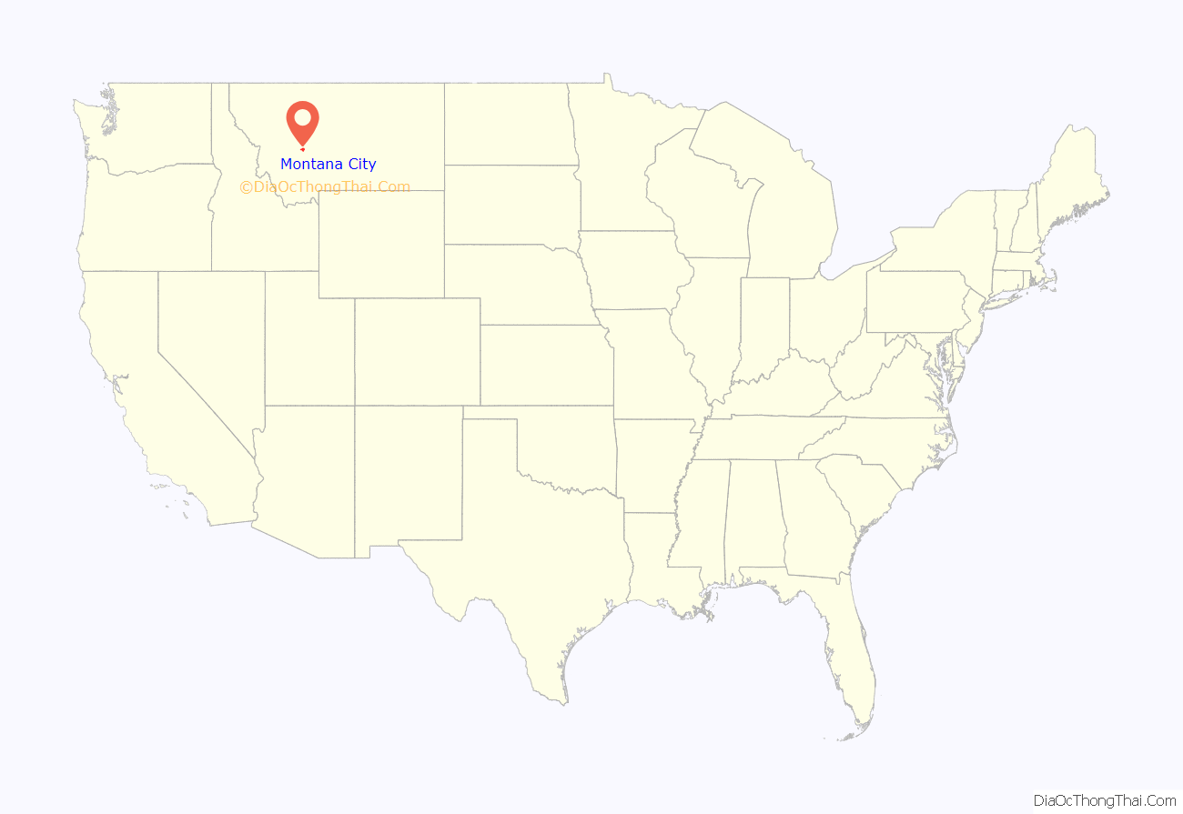
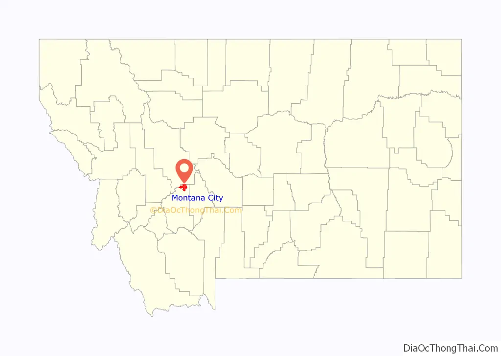
Montana City location map. Where is Montana City CDP?
History
Montana City is located on top of one of the oldest prehistoric sites in the state of Montana. As early as 9,000 BCE, Native Americans came to Montana City to collect chert, a rock similar to flint, which was used to make spear tips, arrowheads, and knives. White American explorers discovered gold at the site on July 2, 1862, and later that year U.S. Army Captain Jason L. Fisk brought a mule train from Minnesota which stopped at the site and built the first houses that became Montana City. The town became one of the most important mining centers in Montana during the height of the gold rush in the 1860s. The Montana Town Company laid out the city in 1864, naming it after the territory’s new name. Chinese miners took over from whites when the mines began to play out in 1868, and the town saw a brief revival after the arrival of the railroads and the establishment of a post office in the 1880s. At its height in the 1880s, Montana City had 3,000 residents and competed for the location of the state capital.
Montana City was almost a ghost town for most of the 20th century until the Permanente Cement Company built a cement manufacturing plant there in 1940. Today, Montana City is a bedroom community serving Helena.
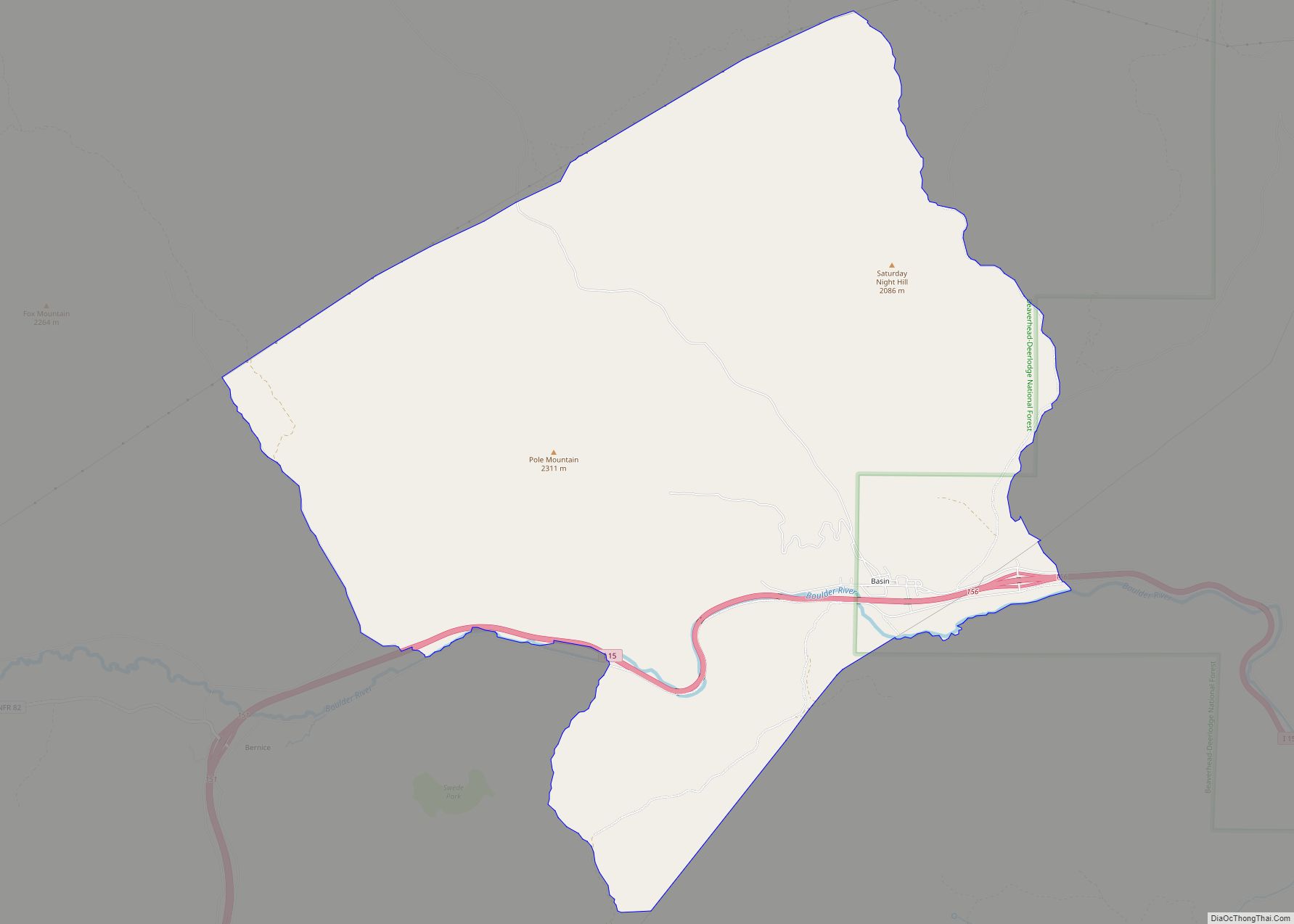
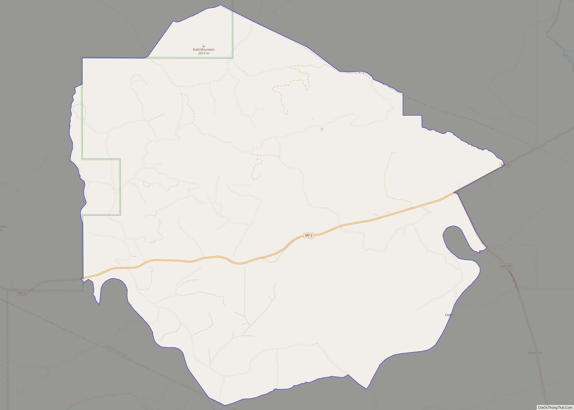
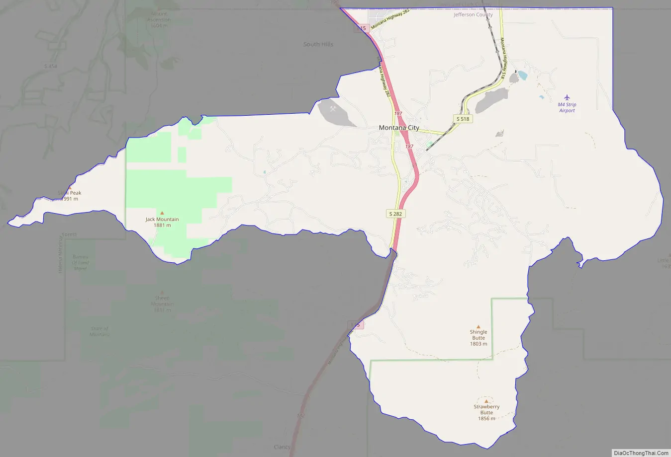
Montana City Road Map
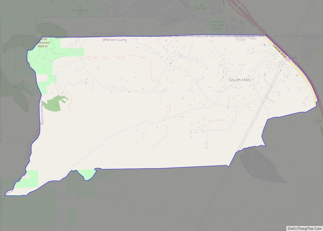
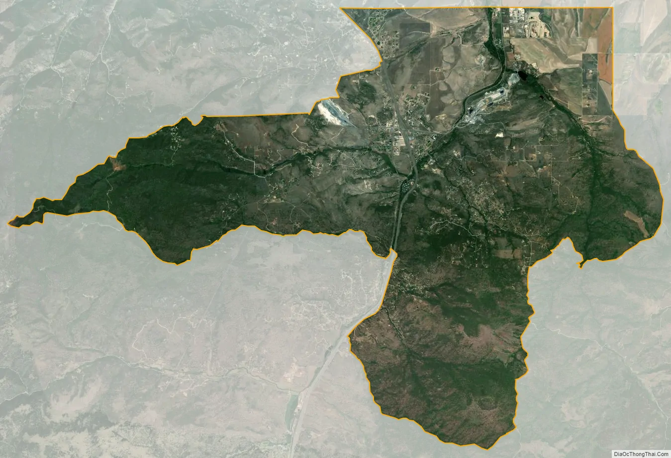
Montana City city Satellite Map
Geography
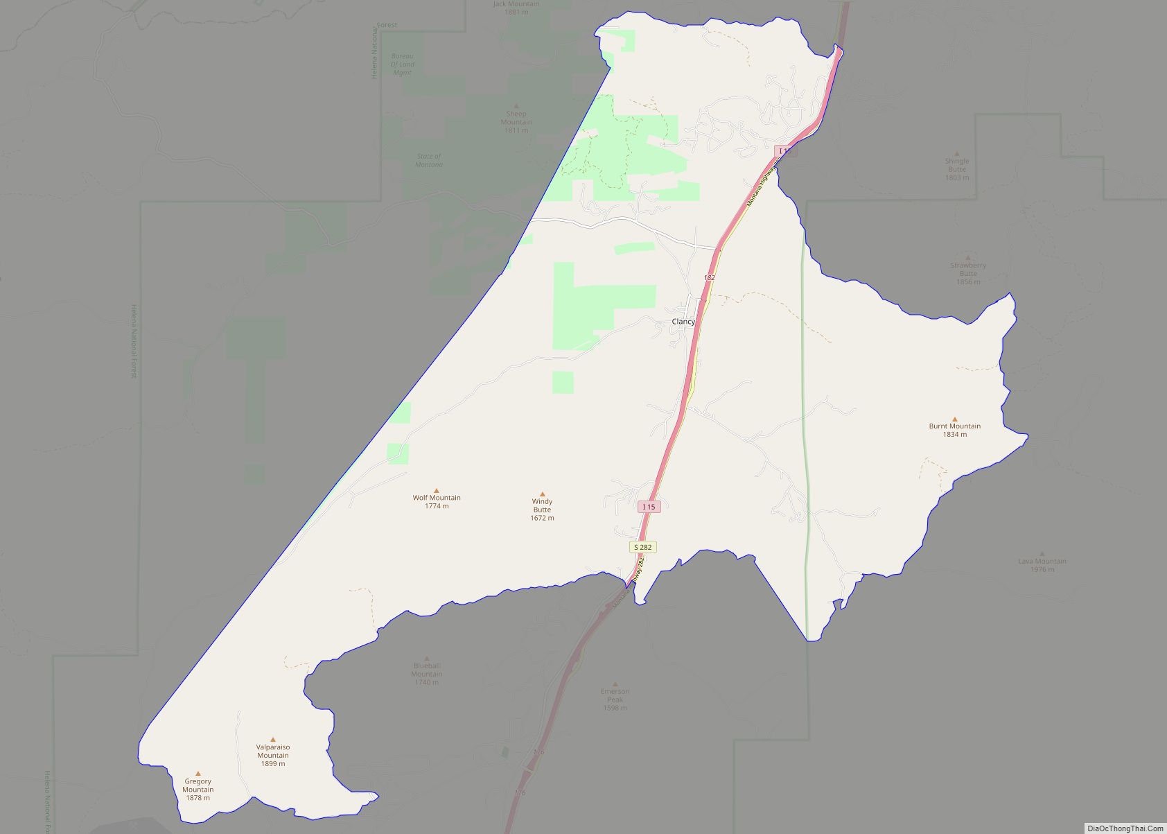
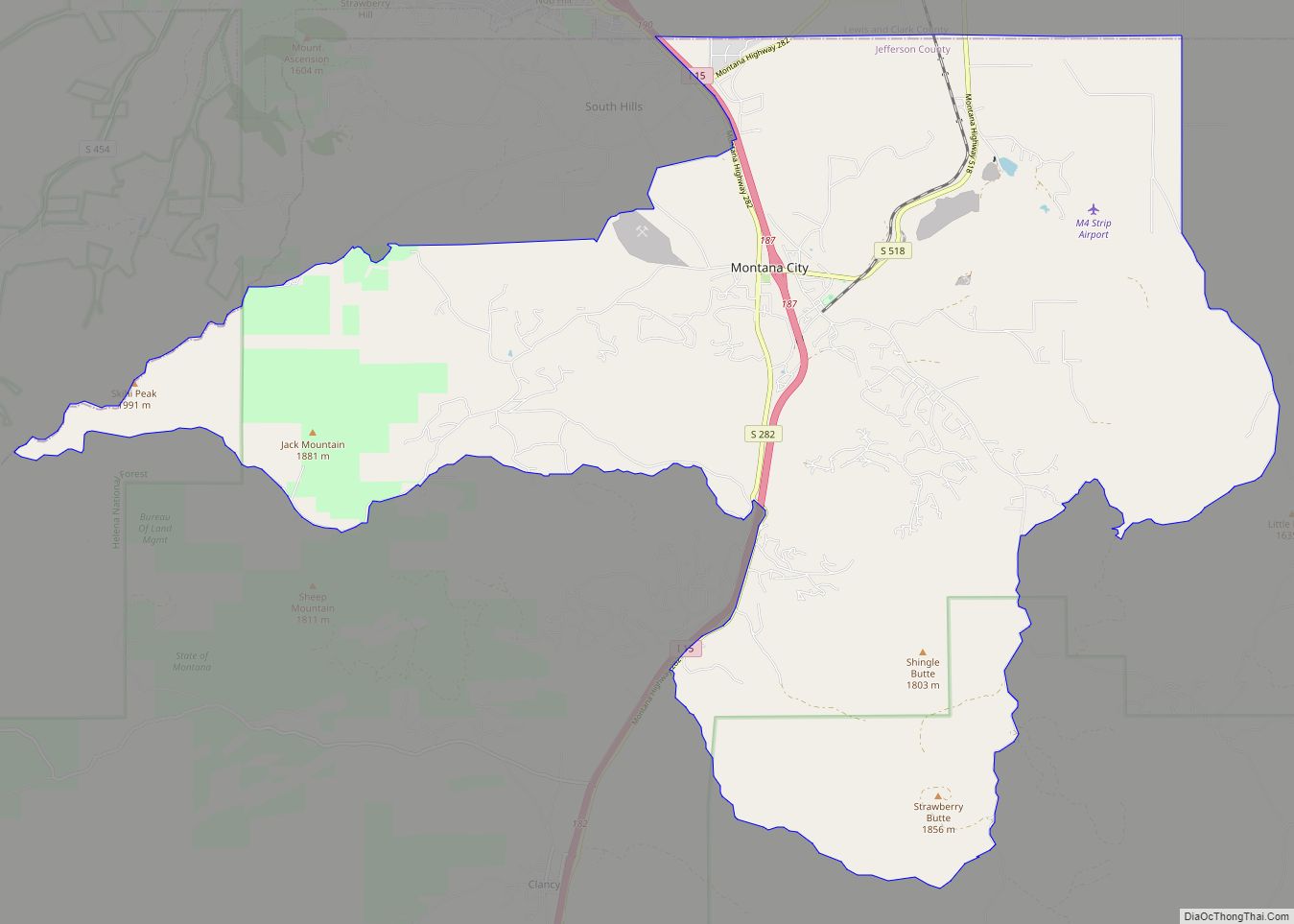
Montana City is located in northern Jefferson County at 46°32′14″N 111°55′54″W / 46.53722°N 111.93167°W / 46.53722; -111.93167 (46.537357, -111.931705). It is bordered to the northwest by unincorporated South Hills, to the northeast by the town of East Helena in Lewis and Clark County, and to the south by unincorporated Clancy.
Interstate 15 passes through Montana City, with access from Exit 187. I-15 leads north 6 miles (10 km) to Helena, the state capital, and south 23 miles (37 km) to Boulder, the Jefferson county seat.
According to the United States Census Bureau, the Montana City CDP has a total area of 34.1 square miles (88.3 km), of which 0.02 square miles (0.06 km), or 0.07%, are water. Prickly Pear Creek, a tributary of the Missouri River, flows northward through the community.
See also
Map of Montana State and its subdivision:- Beaverhead
- Big Horn
- Blaine
- Broadwater
- Carbon
- Carter
- Cascade
- Chouteau
- Custer
- Daniels
- Dawson
- Deer Lodge
- Fallon
- Fergus
- Flathead
- Gallatin
- Garfield
- Glacier
- Golden Valley
- Granite
- Hill
- Jefferson
- Judith Basin
- Lake
- Lewis and Clark
- Liberty
- Lincoln
- Madison
- McCone
- Meagher
- Mineral
- Missoula
- Musselshell
- Park
- Petroleum
- Phillips
- Pondera
- Powder River
- Powell
- Prairie
- Ravalli
- Richland
- Roosevelt
- Rosebud
- Sanders
- Sheridan
- Silver Bow
- Stillwater
- Sweet Grass
- Teton
- Toole
- Treasure
- Valley
- Wheatland
- Wibaux
- Yellowstone
- Alabama
- Alaska
- Arizona
- Arkansas
- California
- Colorado
- Connecticut
- Delaware
- District of Columbia
- Florida
- Georgia
- Hawaii
- Idaho
- Illinois
- Indiana
- Iowa
- Kansas
- Kentucky
- Louisiana
- Maine
- Maryland
- Massachusetts
- Michigan
- Minnesota
- Mississippi
- Missouri
- Montana
- Nebraska
- Nevada
- New Hampshire
- New Jersey
- New Mexico
- New York
- North Carolina
- North Dakota
- Ohio
- Oklahoma
- Oregon
- Pennsylvania
- Rhode Island
- South Carolina
- South Dakota
- Tennessee
- Texas
- Utah
- Vermont
- Virginia
- Washington
- West Virginia
- Wisconsin
- Wyoming