Ismay is a town in Custer County, Montana, United States. The population was 17 at the 2020 census. The town is the least-populous incorporated municipality in the state of Montana.
The town’s name is an amalgamation of Isabella and May, the names of the daughters of Albert J Earling, division superintendent (later president) of the Chicago, Milwaukee and St. Paul Railway. Other communities with related names include Earling, Iowa; Marmarth, North Dakota; and Alberton, Montana. As a publicity stunt coordinated by Kansas City radio station KYYS in 1993, the town unofficially took the name of Joe, Montana, after the NFL quarterback Joe Montana.
The town’s history and contemporary state (circa 1995) is discussed at length in travel writer Jonathan Raban’s book, Bad Land: An American Romance. According to Raban, Ismay’s story is emblematic of the settlement and depopulation of the northern Great Plains.
| Name: | Ismay town |
|---|---|
| LSAD Code: | 43 |
| LSAD Description: | town (suffix) |
| State: | Montana |
| County: | Custer County |
| Elevation: | 2,526 ft (770 m) |
| Total Area: | 0.42 sq mi (1.09 km²) |
| Land Area: | 0.42 sq mi (1.09 km²) |
| Water Area: | 0.00 sq mi (0.00 km²) |
| Total Population: | 17 |
| Population Density: | 40.48/sq mi (15.64/km²) |
| ZIP code: | 59336 |
| Area code: | 406 |
| FIPS code: | 3038950 |
| GNISfeature ID: | 0794947 |
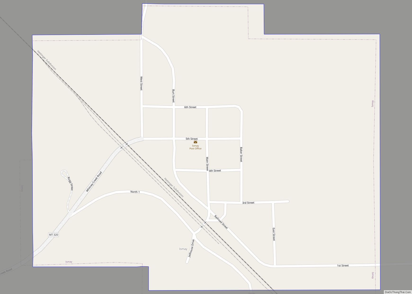
Online Interactive Map
Click on ![]() to view map in "full screen" mode.
to view map in "full screen" mode.
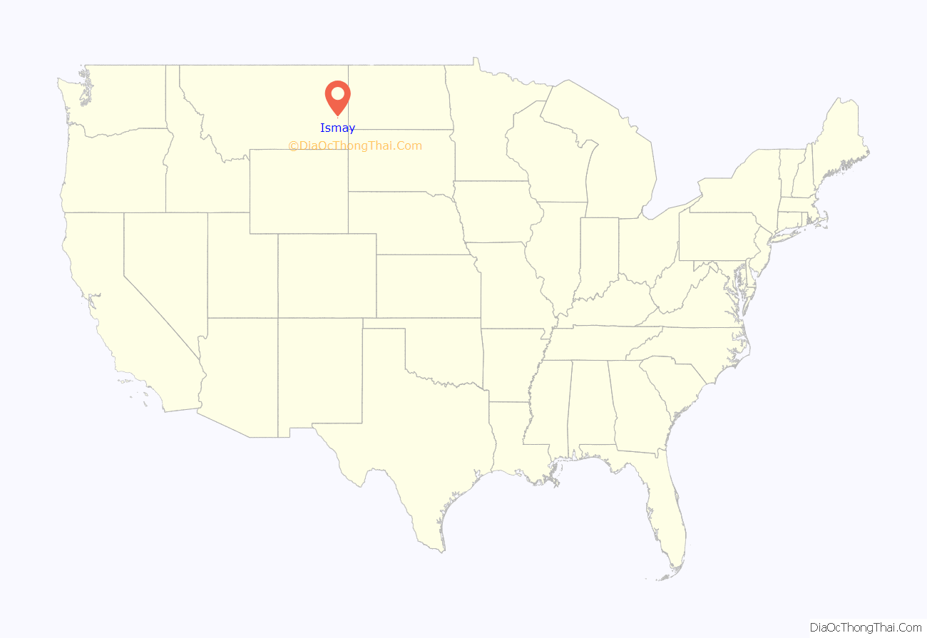
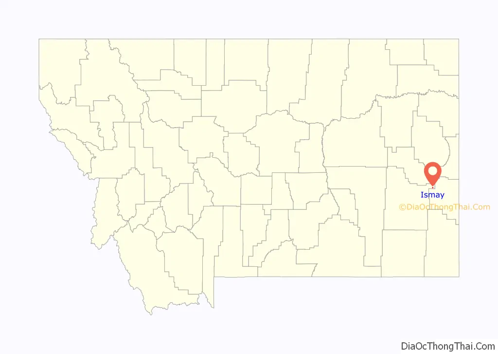
Ismay location map. Where is Ismay town?
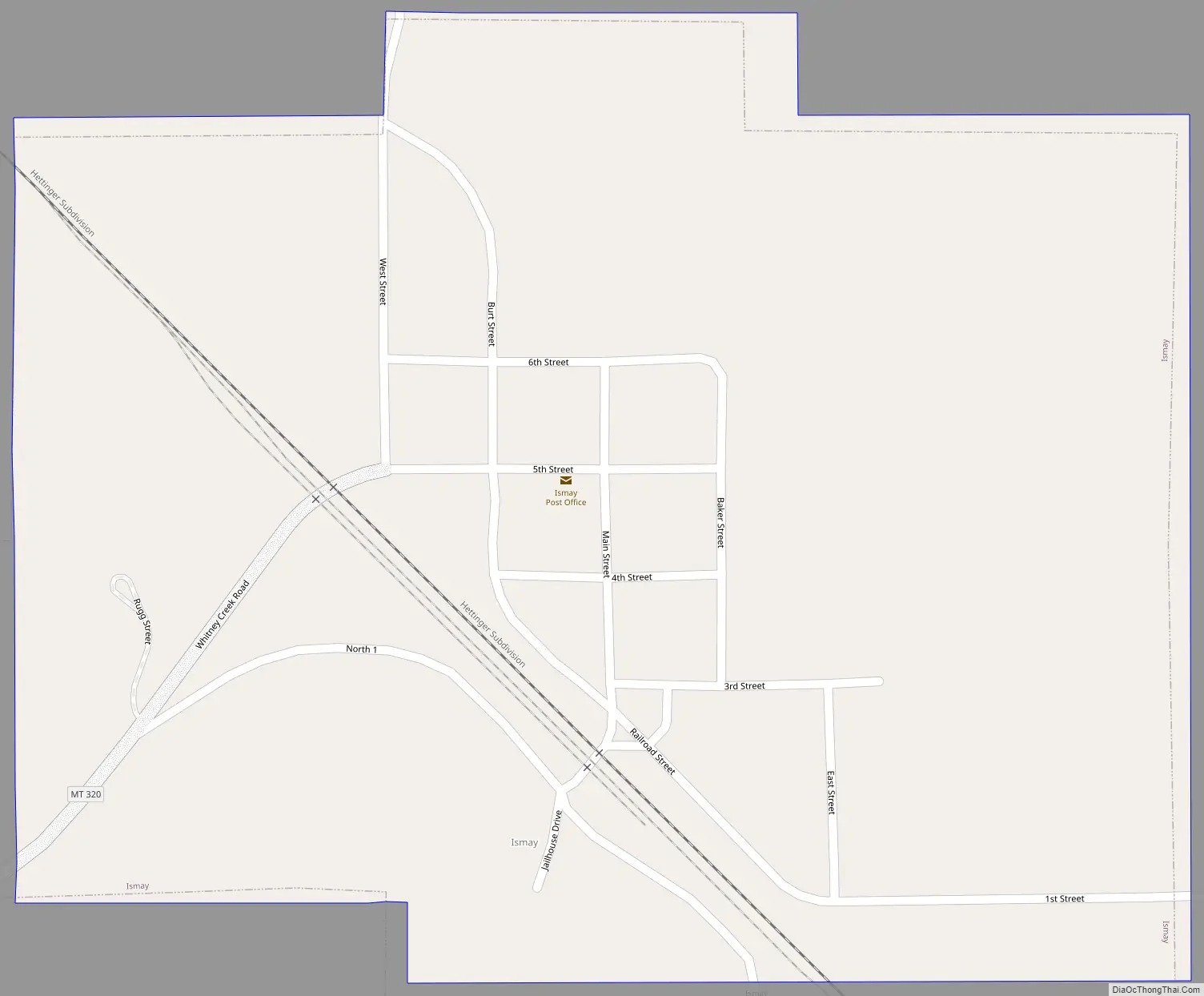
Ismay Road Map
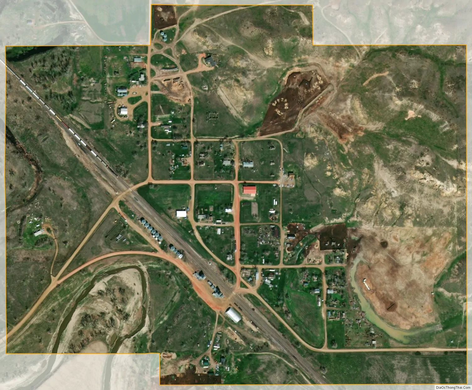
Ismay city Satellite Map
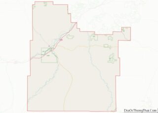
Geography
Ismay is located at 46°29′58″N 104°47′37″W / 46.49944°N 104.79361°W / 46.49944; -104.79361 (46.499497, -104.793590).
According to the United States Census Bureau, the town has a total area of 0.42 square miles (1.09 km), all land.
Ismay lies between Baker, Montana and Terry on the BNSF Railway’s Hettinger Subdivision. The route was once a mainline segment of the Milwaukee Road.
See also
Map of Montana State and its subdivision:- Beaverhead
- Big Horn
- Blaine
- Broadwater
- Carbon
- Carter
- Cascade
- Chouteau
- Custer
- Daniels
- Dawson
- Deer Lodge
- Fallon
- Fergus
- Flathead
- Gallatin
- Garfield
- Glacier
- Golden Valley
- Granite
- Hill
- Jefferson
- Judith Basin
- Lake
- Lewis and Clark
- Liberty
- Lincoln
- Madison
- McCone
- Meagher
- Mineral
- Missoula
- Musselshell
- Park
- Petroleum
- Phillips
- Pondera
- Powder River
- Powell
- Prairie
- Ravalli
- Richland
- Roosevelt
- Rosebud
- Sanders
- Sheridan
- Silver Bow
- Stillwater
- Sweet Grass
- Teton
- Toole
- Treasure
- Valley
- Wheatland
- Wibaux
- Yellowstone
- Alabama
- Alaska
- Arizona
- Arkansas
- California
- Colorado
- Connecticut
- Delaware
- District of Columbia
- Florida
- Georgia
- Hawaii
- Idaho
- Illinois
- Indiana
- Iowa
- Kansas
- Kentucky
- Louisiana
- Maine
- Maryland
- Massachusetts
- Michigan
- Minnesota
- Mississippi
- Missouri
- Montana
- Nebraska
- Nevada
- New Hampshire
- New Jersey
- New Mexico
- New York
- North Carolina
- North Dakota
- Ohio
- Oklahoma
- Oregon
- Pennsylvania
- Rhode Island
- South Carolina
- South Dakota
- Tennessee
- Texas
- Utah
- Vermont
- Virginia
- Washington
- West Virginia
- Wisconsin
- Wyoming