Lame Deer (Meaveʼhoʼeno in Cheyenne) is a census-designated place (CDP) in Rosebud County, Montana, United States. The community is named after Miniconjou Lakota chief Lame Deer, who was killed by the U.S. Army in 1877 under a flag of truce south of the town. It was the site of a trading post from the late 1870s.
It is the tribal and government agency headquarters of the Northern Cheyenne Indian Reservation. This is the location of the Chief Dull Knife College and the annual Northern Cheyenne Powwow.
| Name: | Lame Deer CDP |
|---|---|
| LSAD Code: | 57 |
| LSAD Description: | CDP (suffix) |
| State: | Montana |
| County: | Rosebud County |
| Elevation: | 3,340 ft (1,020 m) |
| Total Area: | 55.59 sq mi (143.99 km²) |
| Land Area: | 55.59 sq mi (143.99 km²) |
| Water Area: | 0.00 sq mi (0.00 km²) |
| Total Population: | 1,897 |
| Population Density: | 34.12/sq mi (13.17/km²) |
| Area code: | 406 |
| FIPS code: | 3042250 |
| GNISfeature ID: | 0773196 |
Online Interactive Map
Click on ![]() to view map in "full screen" mode.
to view map in "full screen" mode.
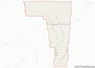
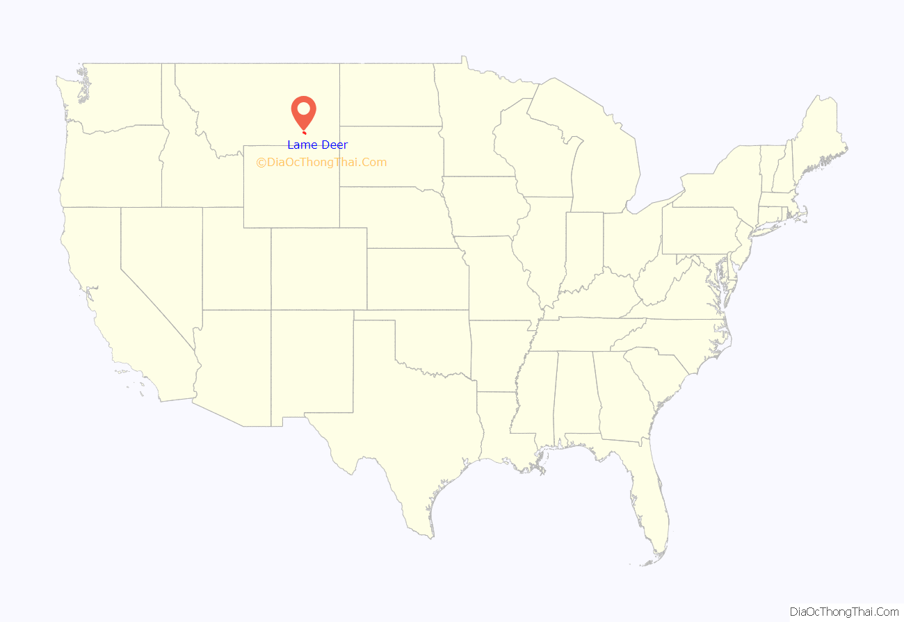
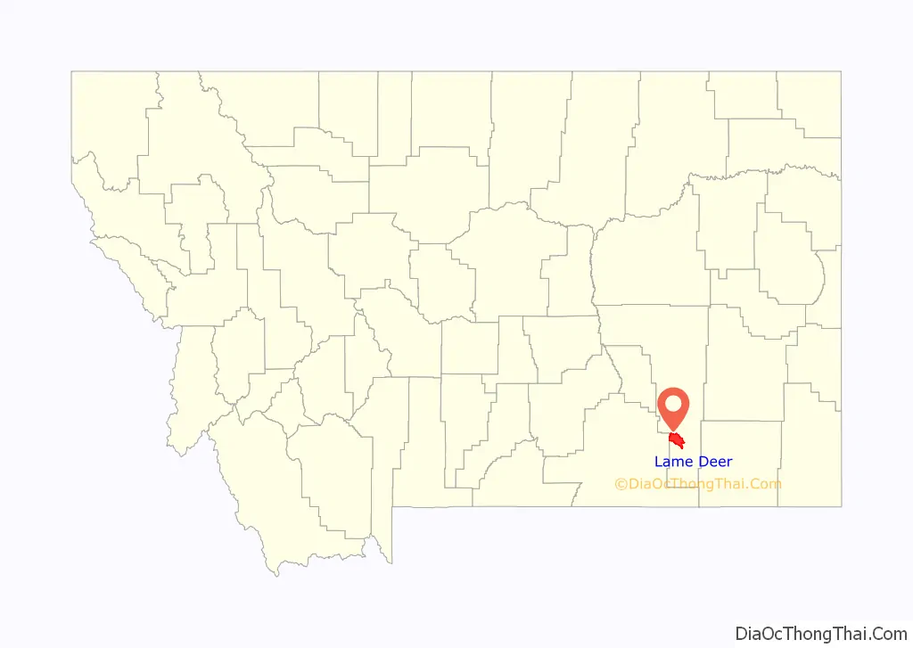
Lame Deer location map. Where is Lame Deer CDP?
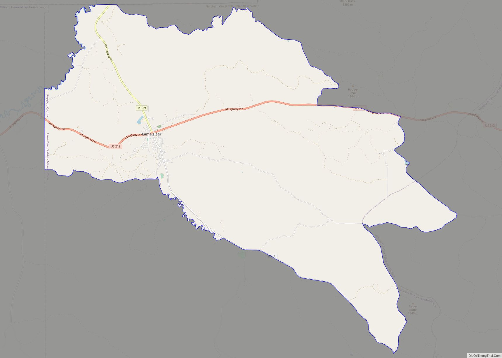
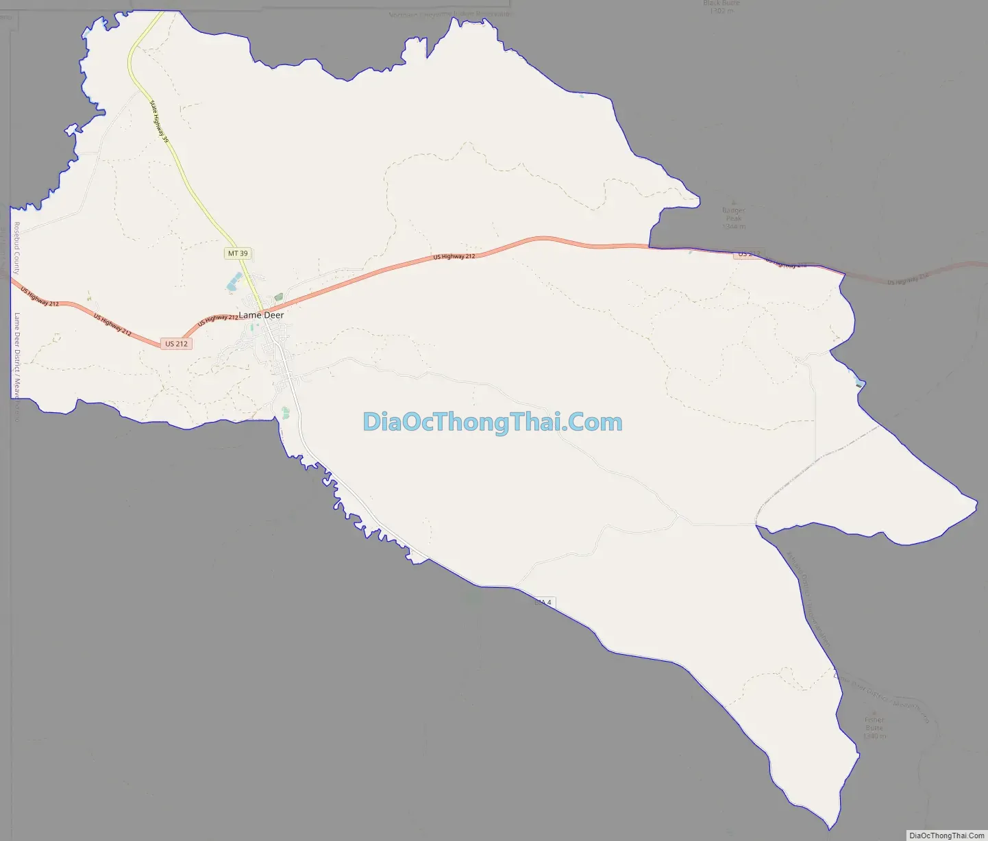
Lame Deer Road Map
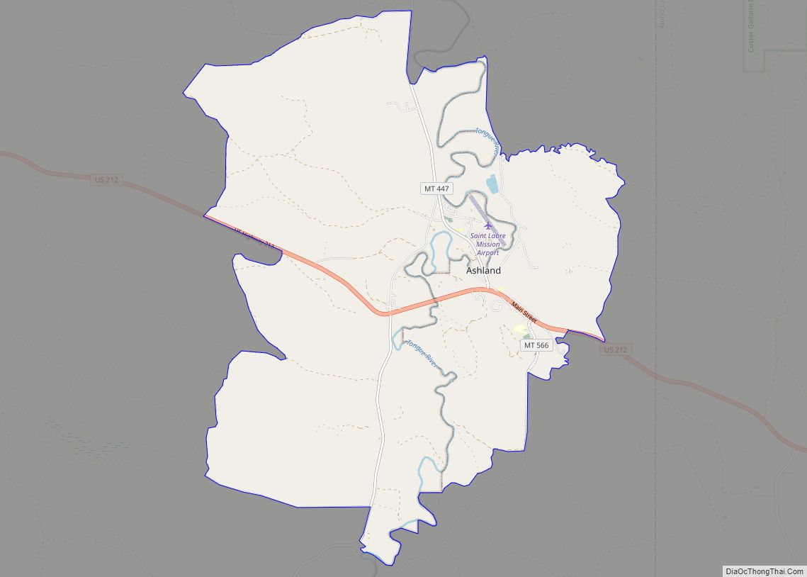
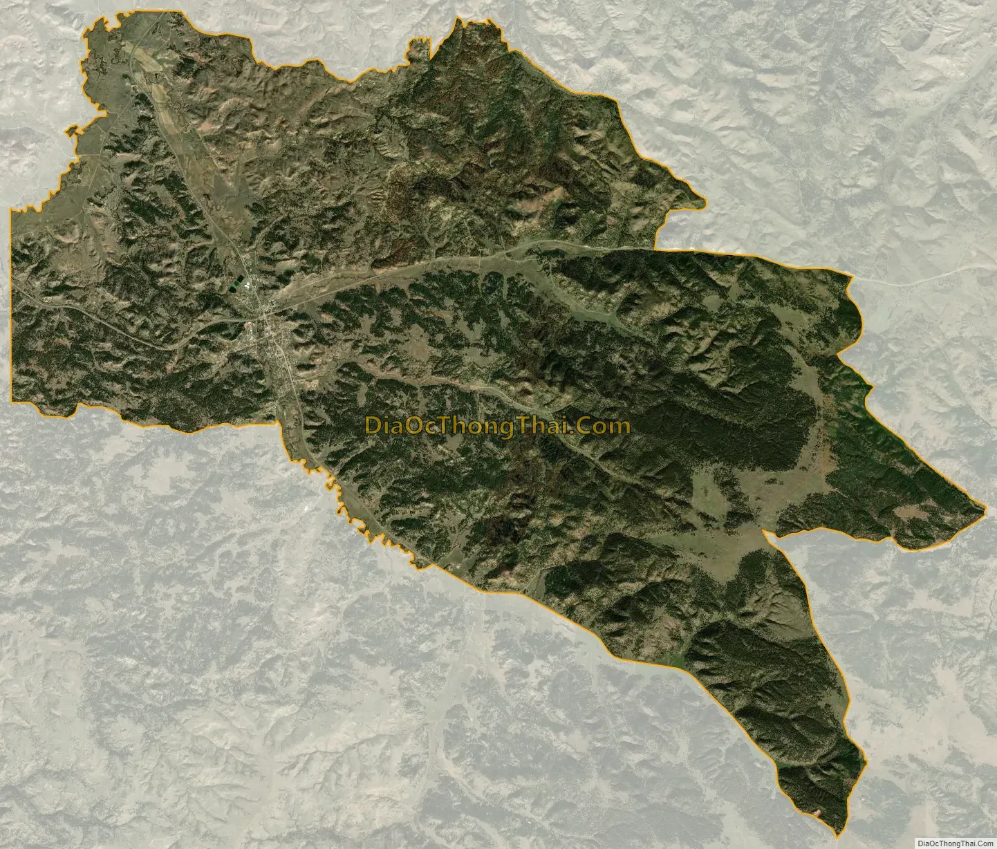
Lame Deer city Satellite Map
Geography
Lame Deer is located at (45.621819, -106.658079). According to the United States Census Bureau, the CDP has a total area of 55.6 square miles (144 km), all land.
Climate
According to the Köppen Climate Classification system, Lame Deer has a semi-arid climate, abbreviated “BSk” on climate maps.
See also
Map of Montana State and its subdivision:- Beaverhead
- Big Horn
- Blaine
- Broadwater
- Carbon
- Carter
- Cascade
- Chouteau
- Custer
- Daniels
- Dawson
- Deer Lodge
- Fallon
- Fergus
- Flathead
- Gallatin
- Garfield
- Glacier
- Golden Valley
- Granite
- Hill
- Jefferson
- Judith Basin
- Lake
- Lewis and Clark
- Liberty
- Lincoln
- Madison
- McCone
- Meagher
- Mineral
- Missoula
- Musselshell
- Park
- Petroleum
- Phillips
- Pondera
- Powder River
- Powell
- Prairie
- Ravalli
- Richland
- Roosevelt
- Rosebud
- Sanders
- Sheridan
- Silver Bow
- Stillwater
- Sweet Grass
- Teton
- Toole
- Treasure
- Valley
- Wheatland
- Wibaux
- Yellowstone
- Alabama
- Alaska
- Arizona
- Arkansas
- California
- Colorado
- Connecticut
- Delaware
- District of Columbia
- Florida
- Georgia
- Hawaii
- Idaho
- Illinois
- Indiana
- Iowa
- Kansas
- Kentucky
- Louisiana
- Maine
- Maryland
- Massachusetts
- Michigan
- Minnesota
- Mississippi
- Missouri
- Montana
- Nebraska
- Nevada
- New Hampshire
- New Jersey
- New Mexico
- New York
- North Carolina
- North Dakota
- Ohio
- Oklahoma
- Oregon
- Pennsylvania
- Rhode Island
- South Carolina
- South Dakota
- Tennessee
- Texas
- Utah
- Vermont
- Virginia
- Washington
- West Virginia
- Wisconsin
- Wyoming