Rader Creek is a census-designated place (CDP) in Jefferson County, Montana, United States. The population was 363 at the 2010 census.
| Name: | Rader Creek CDP |
|---|---|
| LSAD Code: | 57 |
| LSAD Description: | CDP (suffix) |
| State: | Montana |
| County: | Jefferson County |
| Elevation: | 5,532 ft (1,686 m) |
| Total Area: | 20.25 sq mi (52.45 km²) |
| Land Area: | 20.25 sq mi (52.45 km²) |
| Water Area: | 0.00 sq mi (0.00 km²) |
| Total Population: | 341 |
| Population Density: | 16.84/sq mi (6.50/km²) |
| Area code: | 406 |
| FIPS code: | 3060450 |
| GNISfeature ID: | 2583837 |
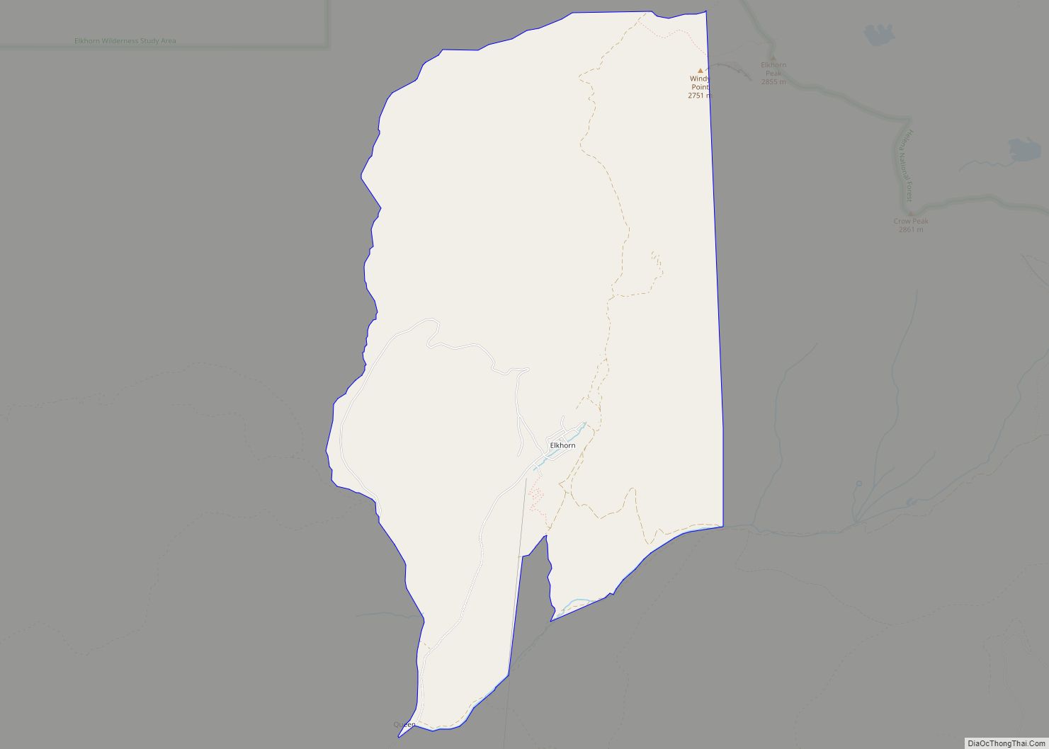
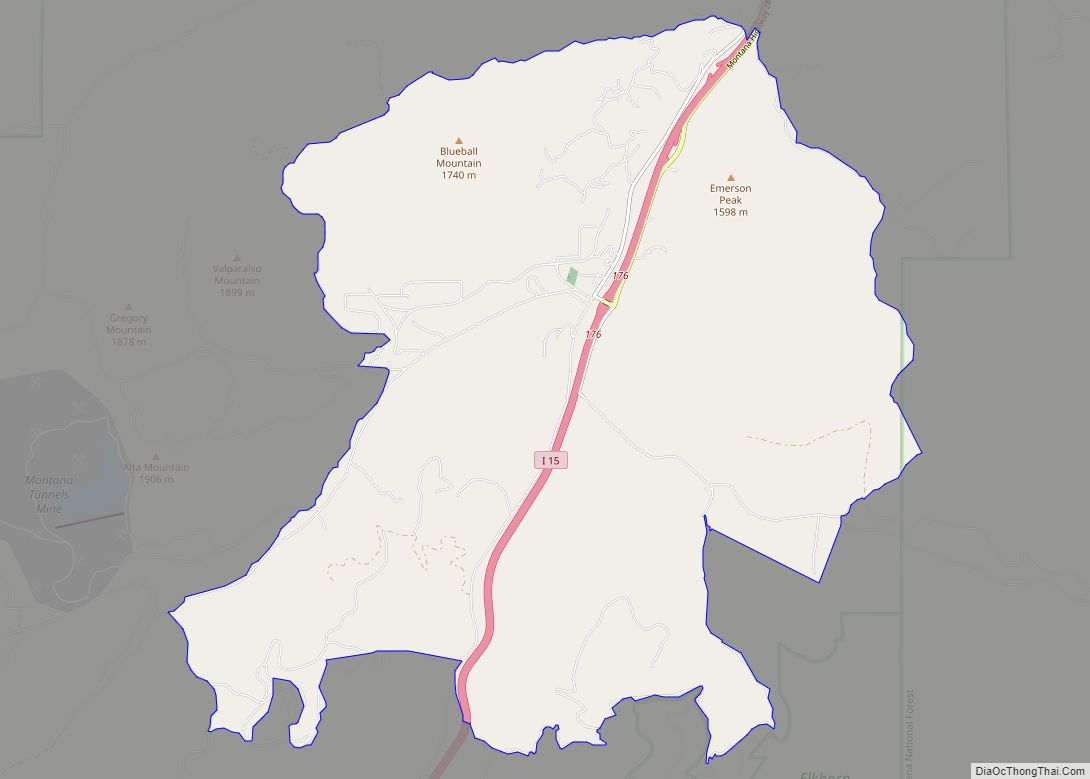
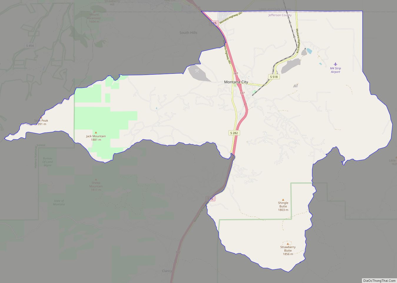
Online Interactive Map
Click on ![]() to view map in "full screen" mode.
to view map in "full screen" mode.
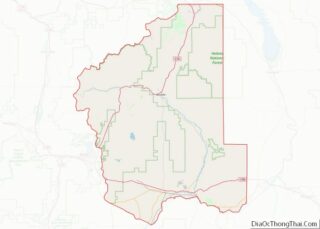
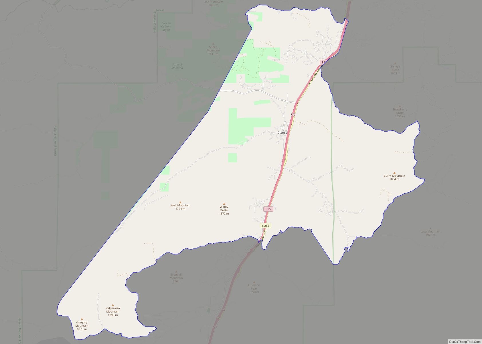
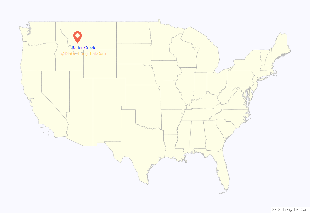
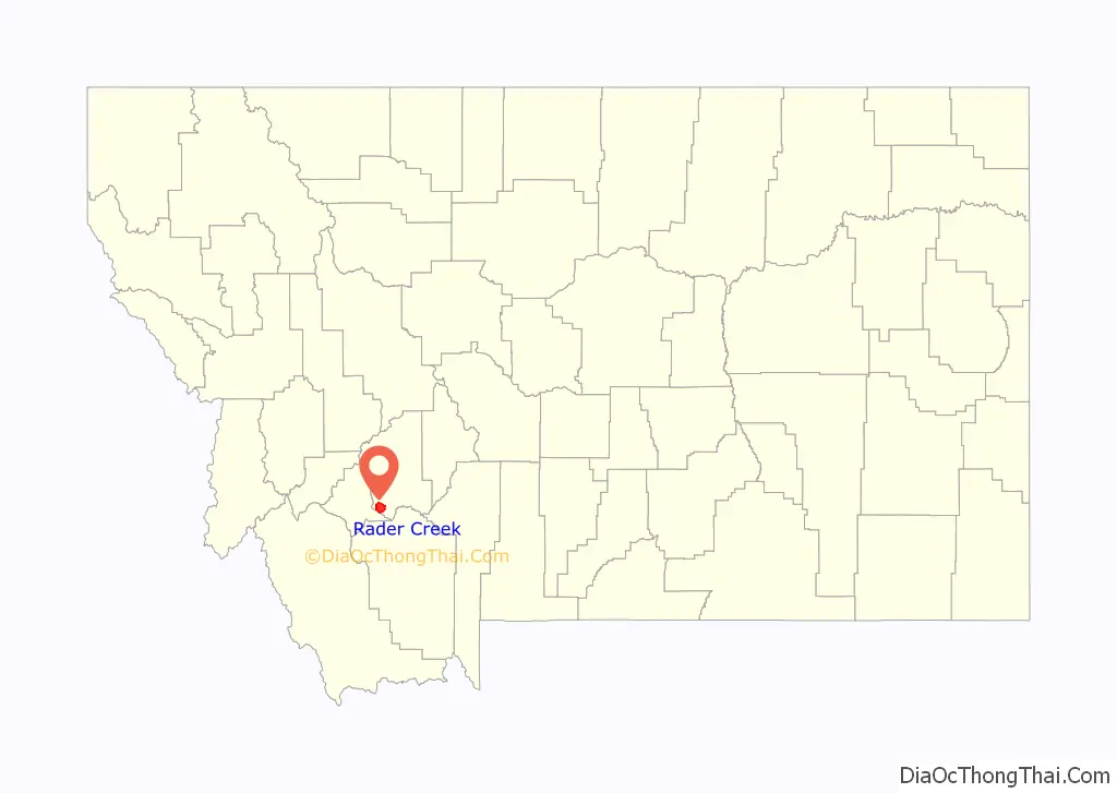
Rader Creek location map. Where is Rader Creek CDP?
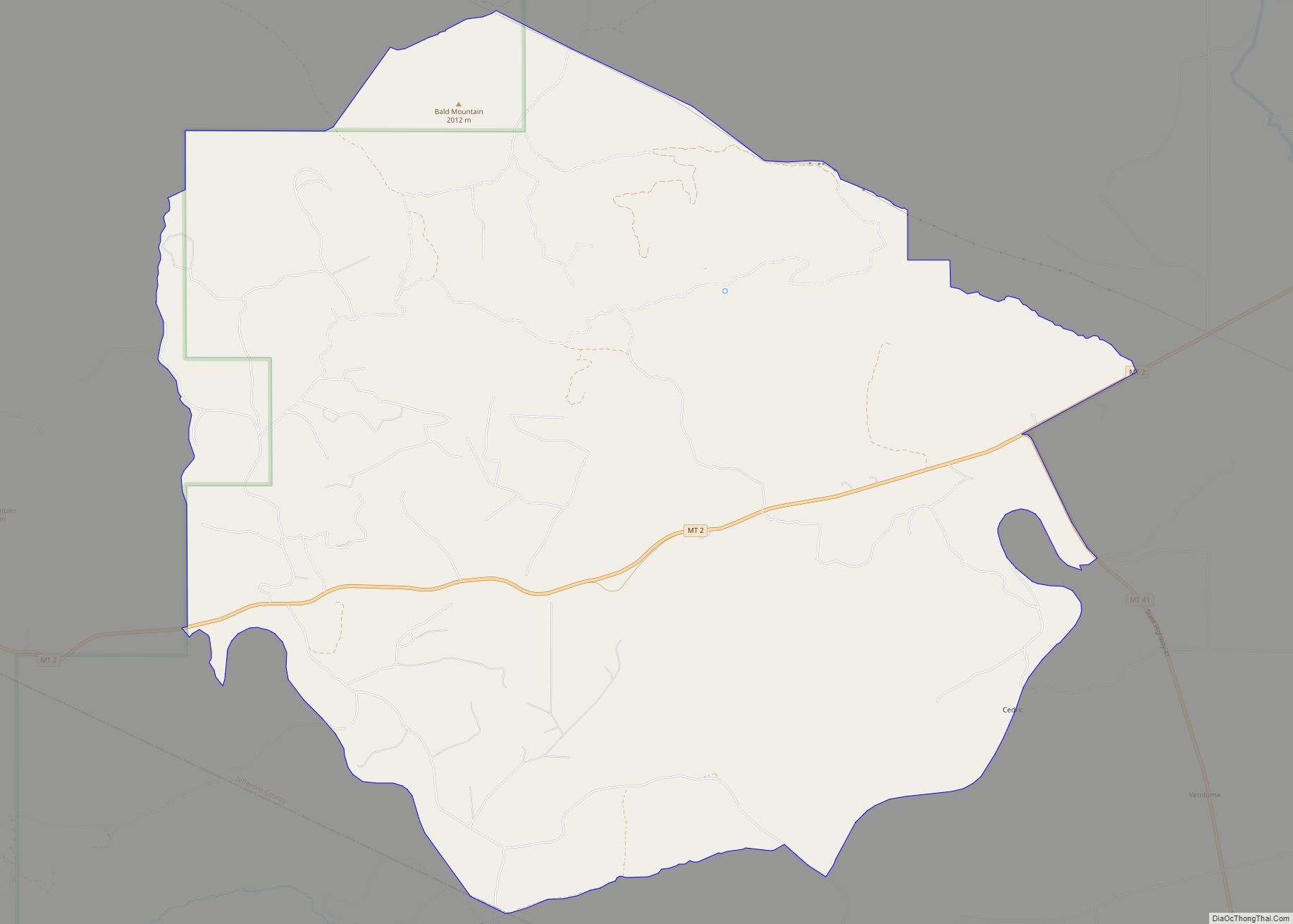
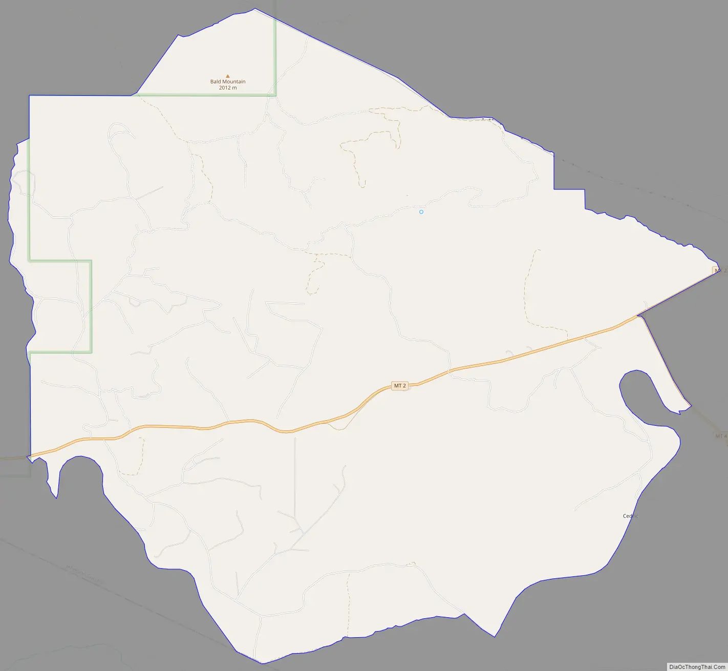
Rader Creek Road Map
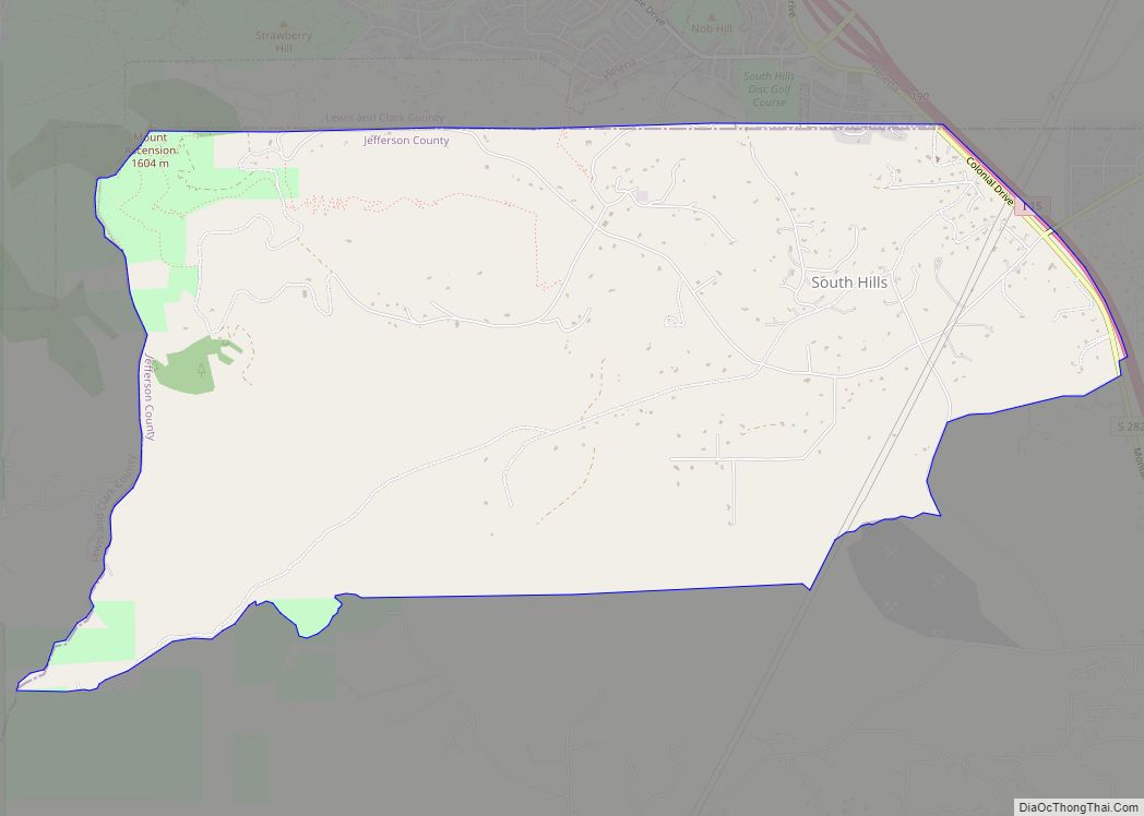
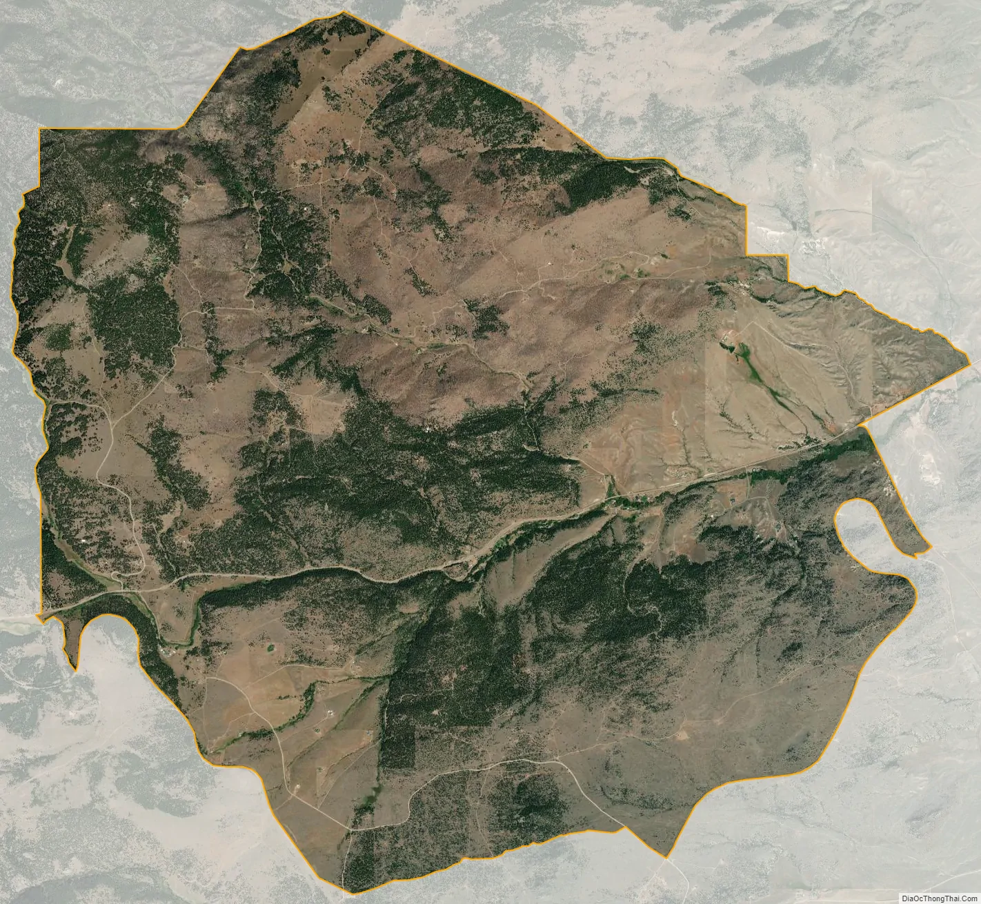
Rader Creek city Satellite Map
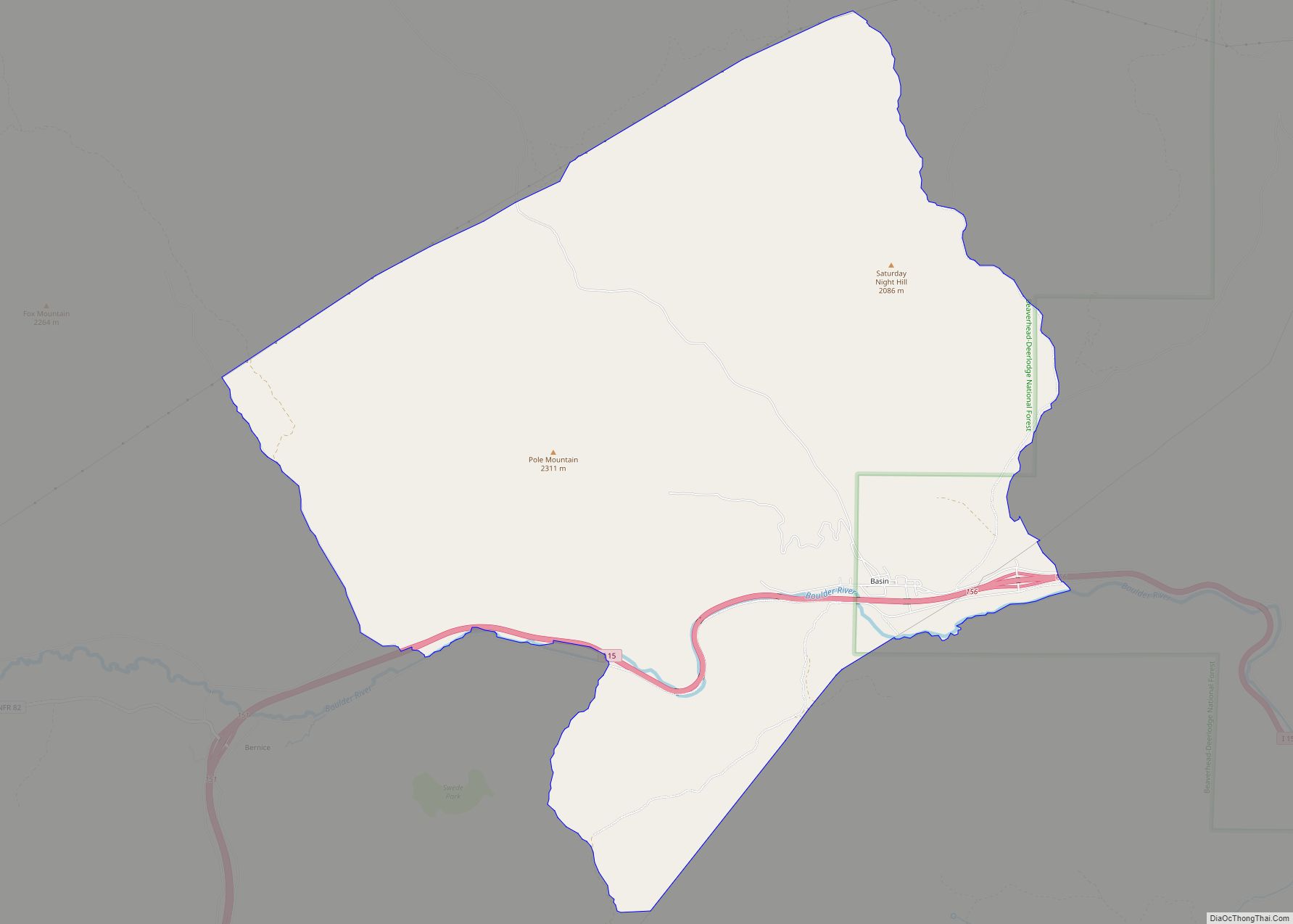
Geography
The CDP is in southwestern Jefferson County and is sparsely settled. An unincorporated place named Nineteen Mile is along Montana Highway 2 in the western part of the CDP, and Cactus Junction, at the intersection of MT 2 and MT 41, is at the eastern border of the CDP. MT 2 (former U.S. Route 10) leads east 11 miles (18 km) to Whitehall and northwest 20 miles (32 km) to Butte, while MT 41 leads south 23 miles (37 km) to Twin Bridges.
According to the U.S. Census Bureau, the Rader Creek CDP has an area of 20.3 square miles (52.5 km), all land. Rader Creek, the community’s namesake, flows out of mountains to the northwest near the Continental Divide, joining Little Pipestone Creek in the east part of the CDP. The creeks are part of the Jefferson River watershed, eventually flowing to the Missouri River.
See also
Map of Montana State and its subdivision:- Beaverhead
- Big Horn
- Blaine
- Broadwater
- Carbon
- Carter
- Cascade
- Chouteau
- Custer
- Daniels
- Dawson
- Deer Lodge
- Fallon
- Fergus
- Flathead
- Gallatin
- Garfield
- Glacier
- Golden Valley
- Granite
- Hill
- Jefferson
- Judith Basin
- Lake
- Lewis and Clark
- Liberty
- Lincoln
- Madison
- McCone
- Meagher
- Mineral
- Missoula
- Musselshell
- Park
- Petroleum
- Phillips
- Pondera
- Powder River
- Powell
- Prairie
- Ravalli
- Richland
- Roosevelt
- Rosebud
- Sanders
- Sheridan
- Silver Bow
- Stillwater
- Sweet Grass
- Teton
- Toole
- Treasure
- Valley
- Wheatland
- Wibaux
- Yellowstone
- Alabama
- Alaska
- Arizona
- Arkansas
- California
- Colorado
- Connecticut
- Delaware
- District of Columbia
- Florida
- Georgia
- Hawaii
- Idaho
- Illinois
- Indiana
- Iowa
- Kansas
- Kentucky
- Louisiana
- Maine
- Maryland
- Massachusetts
- Michigan
- Minnesota
- Mississippi
- Missouri
- Montana
- Nebraska
- Nevada
- New Hampshire
- New Jersey
- New Mexico
- New York
- North Carolina
- North Dakota
- Ohio
- Oklahoma
- Oregon
- Pennsylvania
- Rhode Island
- South Carolina
- South Dakota
- Tennessee
- Texas
- Utah
- Vermont
- Virginia
- Washington
- West Virginia
- Wisconsin
- Wyoming