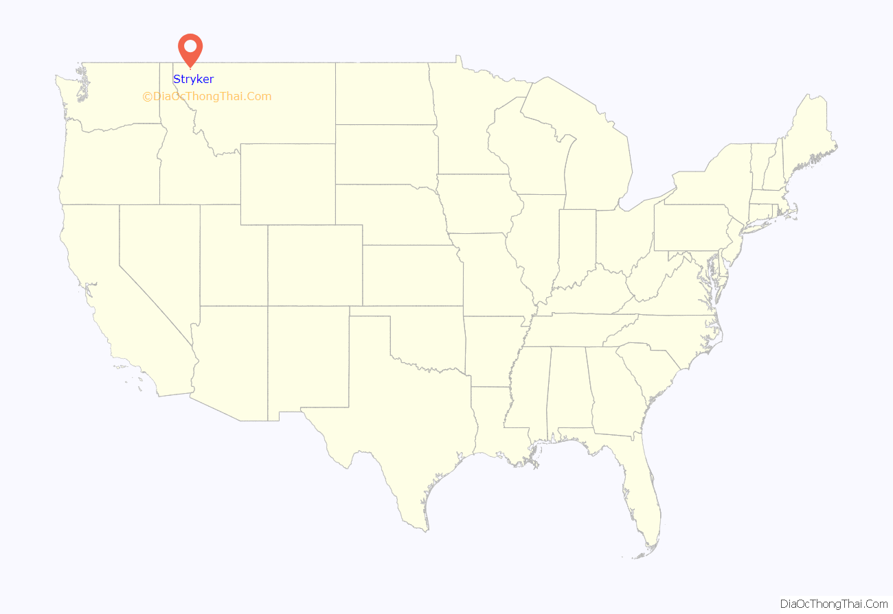
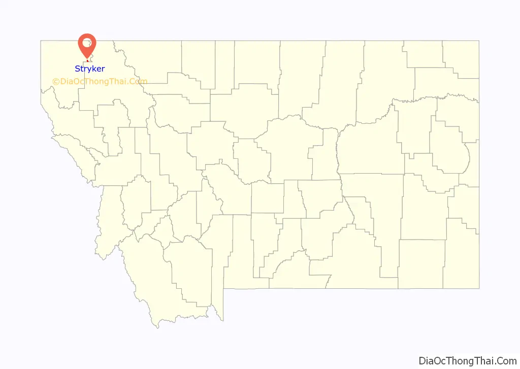
Stryker is an unincorporated community and census-designated place (CDP) in Lincoln County, Montana, United States. As of the 2010 census it had a population of 26. Stryker has the 59933 ZIP code.
Named for local homesteaders, Stryker served as a stage station on the Kalispell–Fort Steele (British Columbia) trail. A forest fire swept through the town in 1926. Stryker’s railroad depot closed with the construction of Libby Dam.
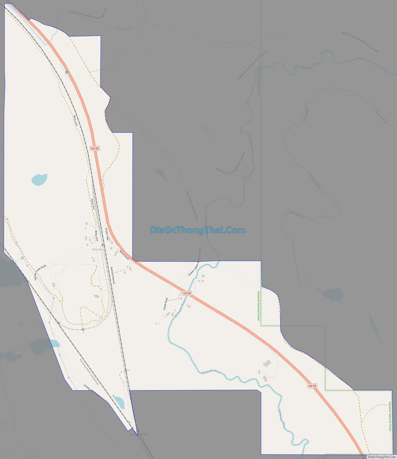
Stryker is located in northeastern Lincoln County on U.S. Route 93, 20 miles (32 km) southeast of Eureka and 45 miles (72 km) northwest of Kalispell. It is located just south of a drainage divide separating the Stillwater River, which runs just east of Stryker and flows southeast to the Flathead River, from Summit Creek, which flows northwest and is part of the Tobacco River watershed flowing to the Kootenai River. According to the U.S. Census Bureau, the Stryker CDP has an area of 1.0 square mile (2.7 km), all land.
| Name: | Stryker CDP |
|---|---|
| LSAD Code: | 57 |
| LSAD Description: | CDP (suffix) |
| State: | Montana |
| County: | Lincoln County |
| Elevation: | 3,297 ft (1,005 m) |
| Total Area: | 1.03 sq mi (2.67 km²) |
| Land Area: | 1.03 sq mi (2.67 km²) |
| Water Area: | 0.00 sq mi (0.00 km²) |
| Total Population: | 25 |
| Population Density: | 24.27/sq mi (9.37/km²) |
| ZIP code: | 59933 |
| Area code: | 406 |
| FIPS code: | 3071575 |
| GNISfeature ID: | 791609 |
Online Interactive Map
Click on ![]() to view map in "full screen" mode.
to view map in "full screen" mode.
Stryker location map. Where is Stryker CDP?
Stryker Road Map
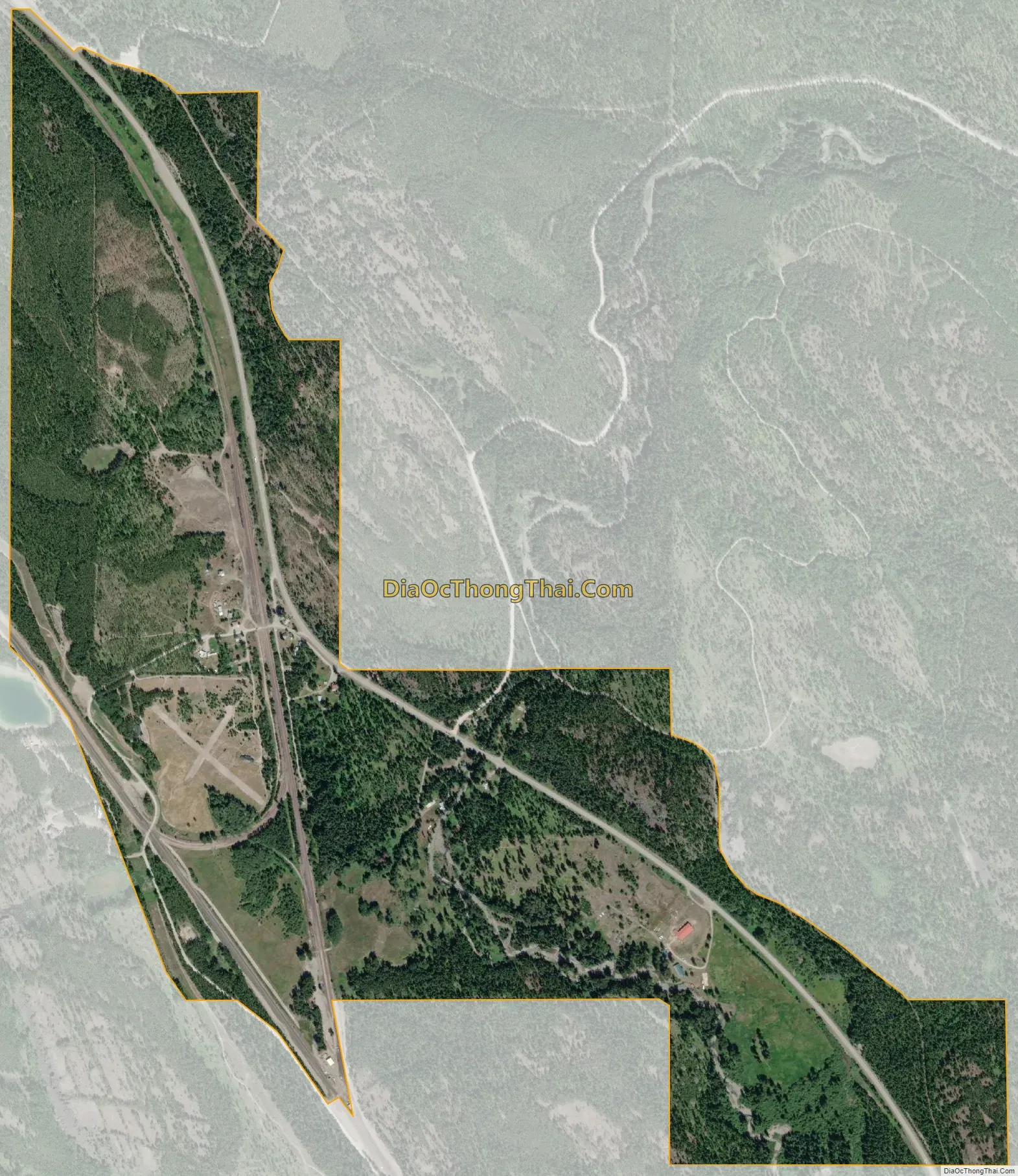
Stryker city Satellite Map
See also
Map of Montana State and its subdivision:- Beaverhead
- Big Horn
- Blaine
- Broadwater
- Carbon
- Carter
- Cascade
- Chouteau
- Custer
- Daniels
- Dawson
- Deer Lodge
- Fallon
- Fergus
- Flathead
- Gallatin
- Garfield
- Glacier
- Golden Valley
- Granite
- Hill
- Jefferson
- Judith Basin
- Lake
- Lewis and Clark
- Liberty
- Lincoln
- Madison
- McCone
- Meagher
- Mineral
- Missoula
- Musselshell
- Park
- Petroleum
- Phillips
- Pondera
- Powder River
- Powell
- Prairie
- Ravalli
- Richland
- Roosevelt
- Rosebud
- Sanders
- Sheridan
- Silver Bow
- Stillwater
- Sweet Grass
- Teton
- Toole
- Treasure
- Valley
- Wheatland
- Wibaux
- Yellowstone
- Alabama
- Alaska
- Arizona
- Arkansas
- California
- Colorado
- Connecticut
- Delaware
- District of Columbia
- Florida
- Georgia
- Hawaii
- Idaho
- Illinois
- Indiana
- Iowa
- Kansas
- Kentucky
- Louisiana
- Maine
- Maryland
- Massachusetts
- Michigan
- Minnesota
- Mississippi
- Missouri
- Montana
- Nebraska
- Nevada
- New Hampshire
- New Jersey
- New Mexico
- New York
- North Carolina
- North Dakota
- Ohio
- Oklahoma
- Oregon
- Pennsylvania
- Rhode Island
- South Carolina
- South Dakota
- Tennessee
- Texas
- Utah
- Vermont
- Virginia
- Washington
- West Virginia
- Wisconsin
- Wyoming


