Thompson Falls is a city in and the county seat of Sanders County, Montana. The population was 1,336 at the time of the 2020 census.
| Name: | Thompson Falls city |
|---|---|
| LSAD Code: | 25 |
| LSAD Description: | city (suffix) |
| State: | Montana |
| County: | Sanders County |
| Elevation: | 2,556 ft (779 m) |
| Total Area: | 1.59 sq mi (4.13 km²) |
| Land Area: | 1.59 sq mi (4.13 km²) |
| Water Area: | 0.00 sq mi (0.00 km²) |
| Total Population: | 1,336 |
| Population Density: | 838.14/sq mi (323.57/km²) |
| ZIP code: | 59873 |
| Area code: | 406 |
| FIPS code: | 3073825 |
| GNISfeature ID: | 0792090 |
| Website: | https://thompsonfalls.org/ |
Online Interactive Map
Click on ![]() to view map in "full screen" mode.
to view map in "full screen" mode.
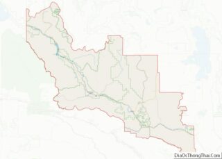
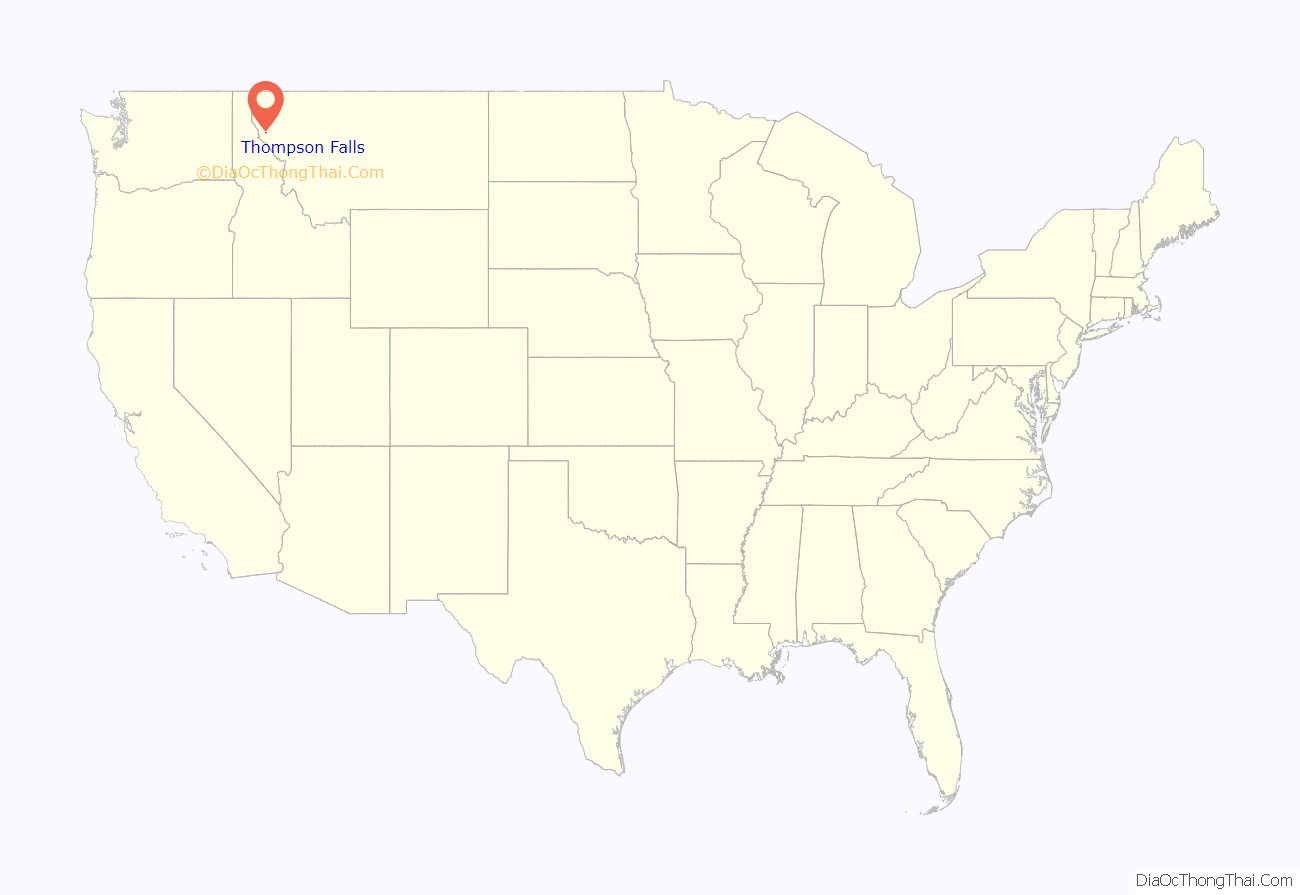
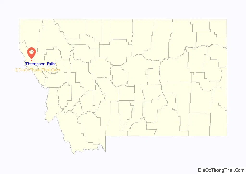
Thompson Falls location map. Where is Thompson Falls city?
History
Thompson Falls was named after British explorer, geographer and fur trader David Thompson, who founded a North West Company fur trading post called Saleesh House in 1809. The community is located next to natural waterfalls on the Clark Fork river. The settlement of the Oregon Boundary Dispute in 1846, ended joint occupancy with Britain and established the border with British North America and made the region firmly American. The arrival of the railroad in 1881 brought the first real activity to the area. Two years later, when the gold rush hit nearby Cœur d’Alene, the town grew to accommodate the men going over the Murray Trail to the mines. In 1885 John Russell bought 40 acres (160,000 m) and plotted the town site.
Thompson Falls was established in 1910.
The Thompson Falls Dam, in operation since 1915, was constructed atop the original falls.
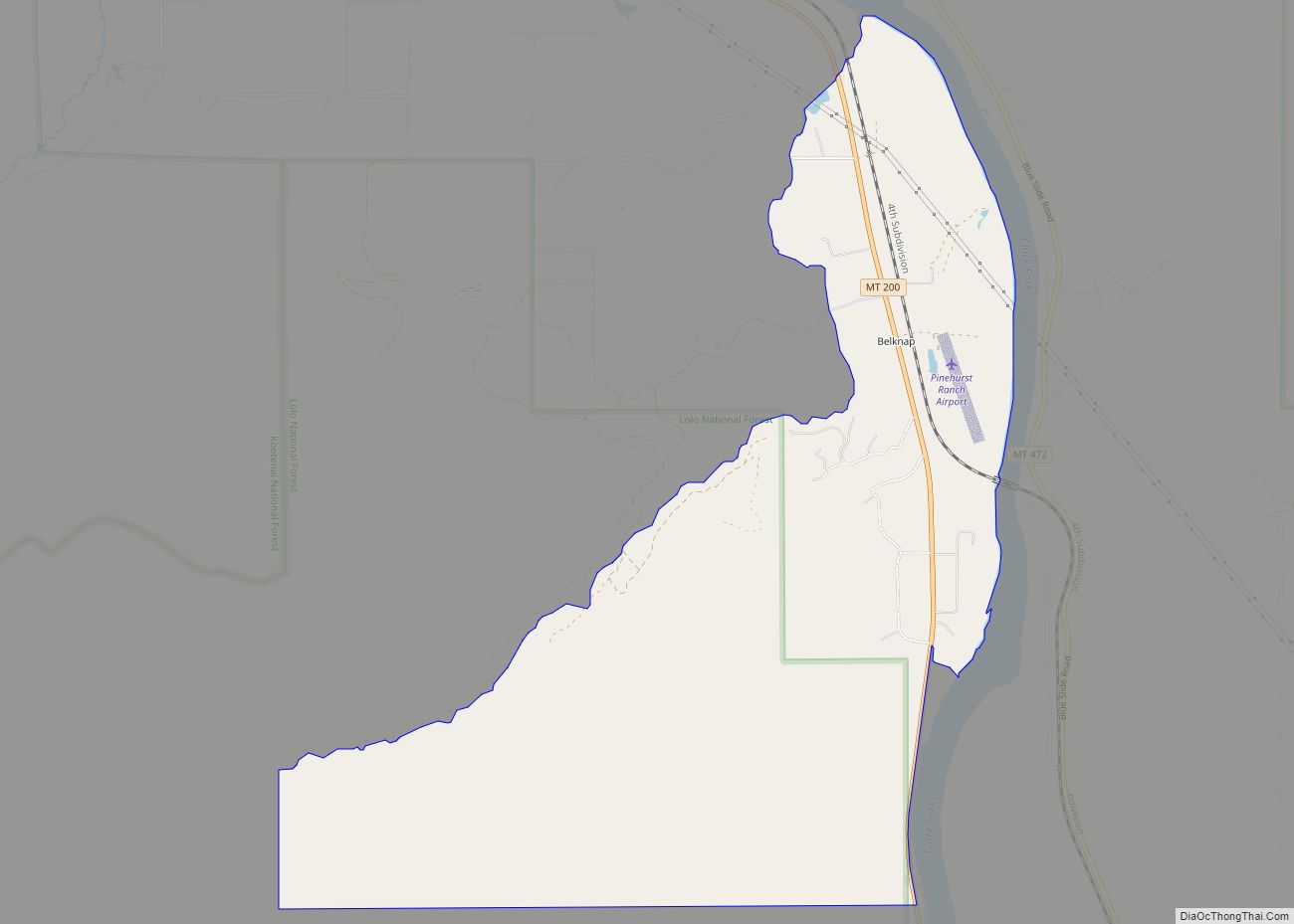
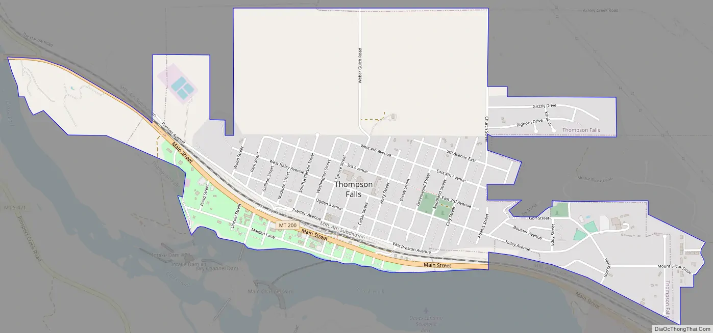
Thompson Falls Road Map
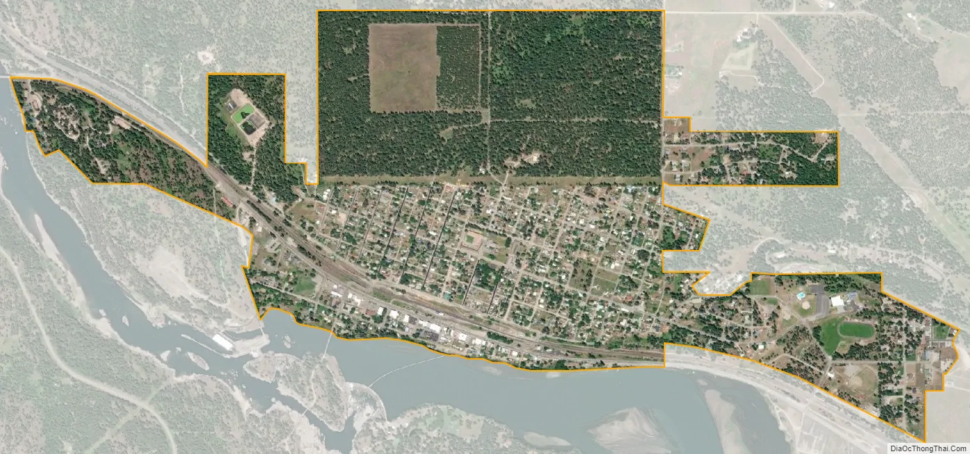
Thompson Falls city Satellite Map
Geography
Thompson Falls is located at 47°35′48″N 115°20′37″W / 47.59667°N 115.34361°W / 47.59667; -115.34361 (47.596587, -115.343730) in the Clark Fork Valley at an elevation of 2,419 feet (737 m).
According to the United States Census Bureau, the city has a total area of 1.73 square miles (4.48 km), all land.
Ecology
An amphibian, the rough-skinned newt, has a population at Thompson Falls which is noncontiguous with the remainder of the Western US population of the species.
In 2010, a fish ladder was completed consisting of 48 pools, each one foot higher than the last, enabling native fish, including bull trout (Salvelinus confluentus) to pass the 913-foot Thompson Falls Dam for the first time in nearly a century.
Climate
Under the Köppen climate classification, depending on the variant used, Thompson Falls has either an oceanic climate (Cfb) or a warm-summer humid continental climate (Dfb).
See also
Map of Montana State and its subdivision:- Beaverhead
- Big Horn
- Blaine
- Broadwater
- Carbon
- Carter
- Cascade
- Chouteau
- Custer
- Daniels
- Dawson
- Deer Lodge
- Fallon
- Fergus
- Flathead
- Gallatin
- Garfield
- Glacier
- Golden Valley
- Granite
- Hill
- Jefferson
- Judith Basin
- Lake
- Lewis and Clark
- Liberty
- Lincoln
- Madison
- McCone
- Meagher
- Mineral
- Missoula
- Musselshell
- Park
- Petroleum
- Phillips
- Pondera
- Powder River
- Powell
- Prairie
- Ravalli
- Richland
- Roosevelt
- Rosebud
- Sanders
- Sheridan
- Silver Bow
- Stillwater
- Sweet Grass
- Teton
- Toole
- Treasure
- Valley
- Wheatland
- Wibaux
- Yellowstone
- Alabama
- Alaska
- Arizona
- Arkansas
- California
- Colorado
- Connecticut
- Delaware
- District of Columbia
- Florida
- Georgia
- Hawaii
- Idaho
- Illinois
- Indiana
- Iowa
- Kansas
- Kentucky
- Louisiana
- Maine
- Maryland
- Massachusetts
- Michigan
- Minnesota
- Mississippi
- Missouri
- Montana
- Nebraska
- Nevada
- New Hampshire
- New Jersey
- New Mexico
- New York
- North Carolina
- North Dakota
- Ohio
- Oklahoma
- Oregon
- Pennsylvania
- Rhode Island
- South Carolina
- South Dakota
- Tennessee
- Texas
- Utah
- Vermont
- Virginia
- Washington
- West Virginia
- Wisconsin
- Wyoming